2000s (21st Century) Maps of Jacksonville, Illinois
Explore 20 historic maps of Jacksonville from the 2000s (21st Century). These maps offer a rare glimpse into what life looked like during the 2000s — showing old roads, neighborhoods, homes, and landmarks that have changed or disappeared over time.
Whether you're researching your family's past, planning a metal detecting trip, or studying how Jacksonville's landscape evolved across the 2000s, these high-resolution maps are a powerful tool for exploring the history of this region.
- Focus on a specific era: All maps on this page are from the 2000s, giving you a focused view of this time period.
- See what’s changed: Compare century-old streets, trails, and buildings to today's modern landscape using overlays and satellite layers.
- Research with precision: Use these maps for genealogy, historical research, land use analysis, or educational projects.
- View, download, or print: Maps are fully viewable online in high resolution, and can be downloaded or printed for your own records.
Start exploring Jacksonville's history through authentic maps from the 2000s. This is your window into the past.
Jacksonville, IL maps
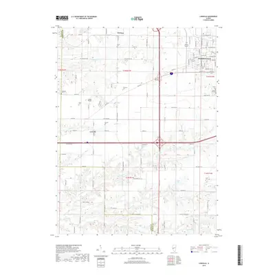
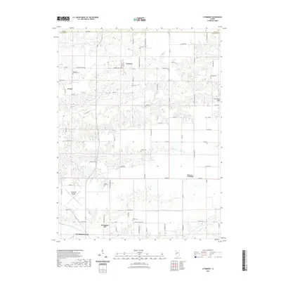
(20)- 2012 Map of Literberry, 2012 Print
 2012 Literberry2012 Print · USGSCovers Jacksonville, including Literberry, Portuguese Hill, and other nearby areas
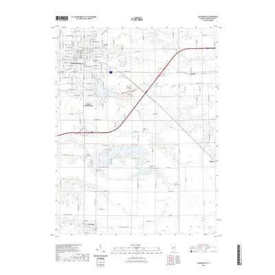
 - 2012 Map of Jacksonville, 2012 Print
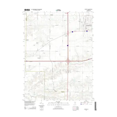
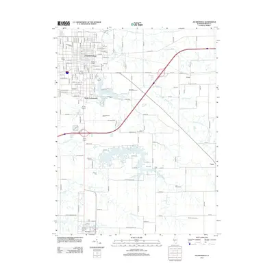 2012 Jacksonville2012 Print · USGSCovers Jacksonville, including South Jacksonville, Woodson, and other nearby areas
 - 2012 Map of Concord, 2012 Print
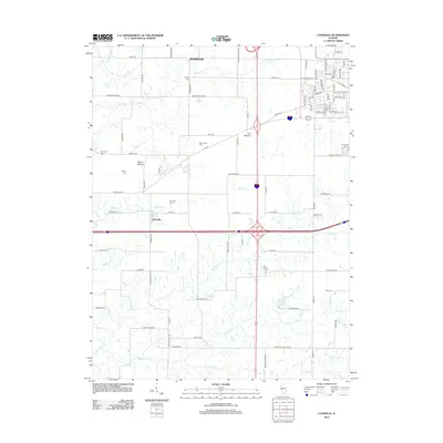
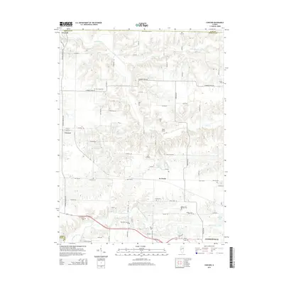
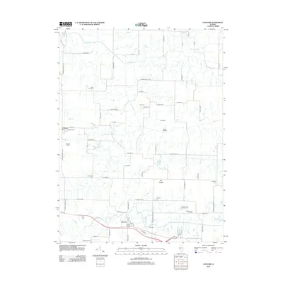 2012 Concord2012 Print · USGSCovers Jacksonville, including Arenzville, Concord, and other nearby areas
 - 2012 Map of Lynnville, 2012 Print
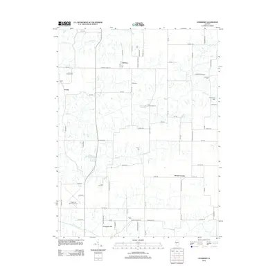
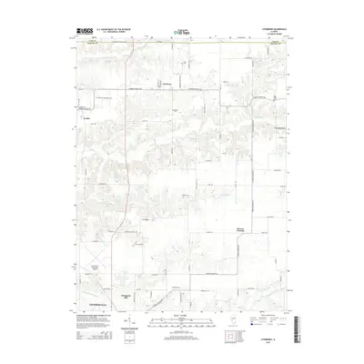
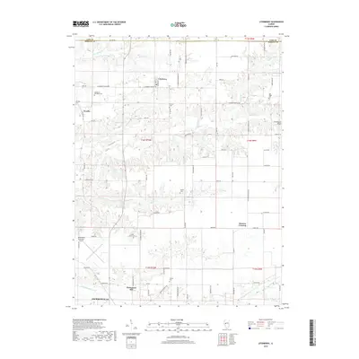
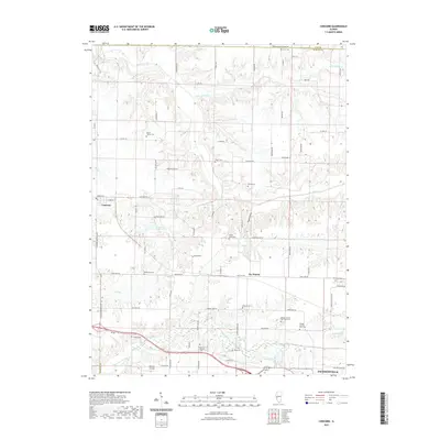
 2012 Lynnville2012 Print · USGSCovers Jacksonville, including Lynnville, Markham, and other nearby areas
 - 2015 Map of Lynnville, 2015 Print
 2015 Lynnville2015 Print · USGSCovers Jacksonville, including Lynnville, Markham, and other nearby areas
 - 2015 Map of Literberry, 2015 Print
 2015 Literberry2015 Print · USGSCovers Jacksonville, including Literberry, Portuguese Hill, and other nearby areas
 - 2015 Map of Jacksonville, 2015 Print
 2015 Jacksonville2015 Print · USGSCovers Jacksonville, including South Jacksonville, Woodson, and other nearby areas
 - 2015 Map of Concord, 2015 Print
 2015 Concord2015 Print · USGSCovers Jacksonville, including Arenzville, Concord, and other nearby areas
 - 2018 Map of Lynnville, 2018 Print
 2018 Lynnville2018 Print · USGSCovers Jacksonville, including Lynnville, Markham, and other nearby areas
 - 2018 Map of Literberry, 2018 Print
 2018 Literberry2018 Print · USGSCovers Jacksonville, including Literberry, Portuguese Hill, and other nearby areas
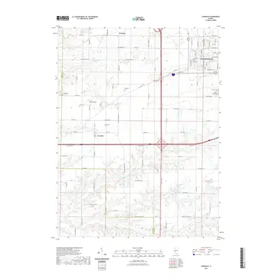
 - 2018 Map of Jacksonville, 2018 Print
 2018 Jacksonville2018 Print · USGSCovers Jacksonville, including South Jacksonville, Woodson, and other nearby areas
 - 2018 Map of Concord, 2018 Print
 2018 Concord2018 Print · USGSCovers Jacksonville, including Arenzville, Concord, and other nearby areas
 - 2021 Map of Literberry, 2021 Print
 2021 Literberry2021 Print · USGSCovers Jacksonville, including Literberry, Portuguese Hill, and other nearby areas
 - 2021 Map of Jacksonville, 2021 Print
 2021 Jacksonville2021 Print · USGSCovers Jacksonville, including South Jacksonville, Woodson, and other nearby areas
 - 2021 Map of Concord, 2021 Print
 2021 Concord2021 Print · USGSCovers Jacksonville, including Arenzville, Concord, and other nearby areas
 - 2021 Map of Lynnville, 2021 Print
 2021 Lynnville2021 Print · USGSCovers Jacksonville, including Lynnville, Markham, and other nearby areas
 - 2024 Map of Lynnville, 2024 Print
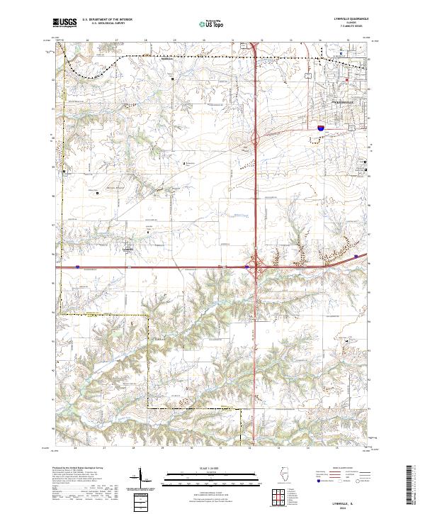 2024 Lynnville2024 Print · USGSThe Morgan and Scott County border comes alive in this modern survey, capturing the agricultural heartland around Lynnville and Markham. Genealogists can locate family sites at Diamond Grove Cem or trace rural landmarks like Allison Mound.
 - 2024 Map of Literberry, 2024 Print
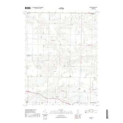
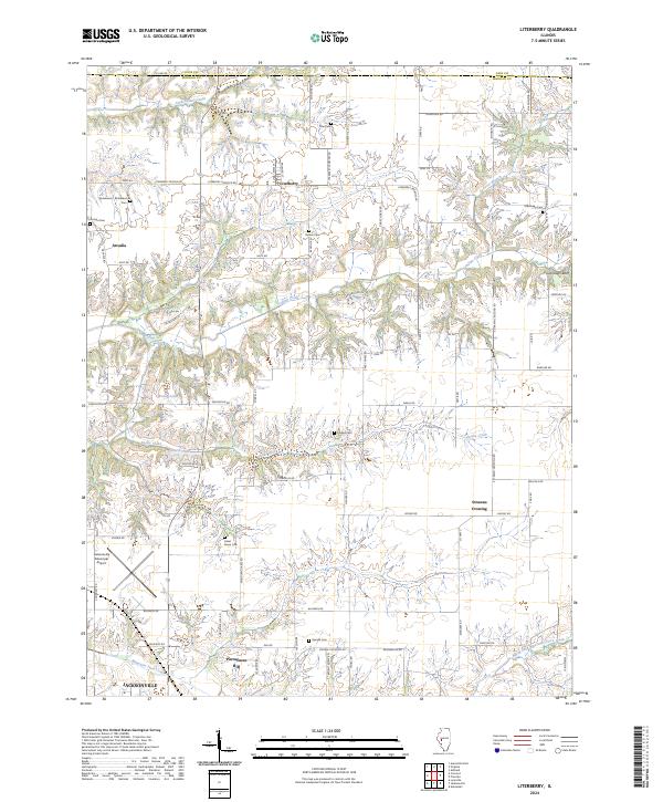 2024 Literberry2024 Print · USGSMorgan County farmland unfolds in this recent survey, capturing the rural character of the Illinois prairie north of Jacksonville. Genealogists can trace family footprints across several historic burial sites, including Liter Cem, Hazel Green Cem, and Oak Ridge Cem.
 - 2024 Map of Concord, 2024 Print
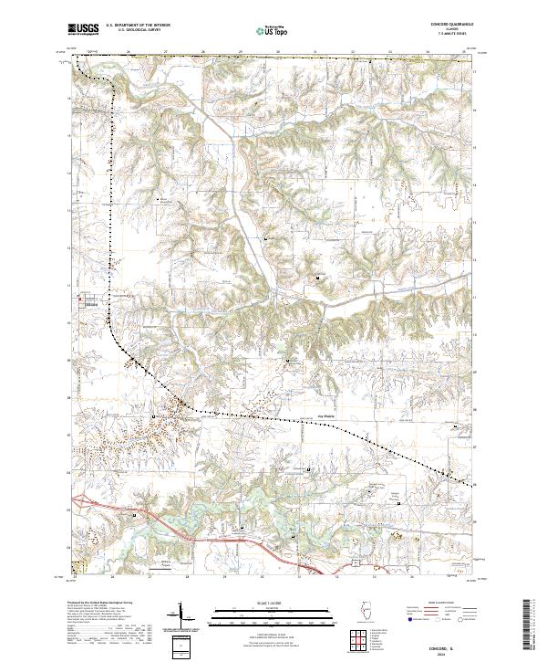 2024 Concord2024 Print · USGSThe Morgan County countryside near Concord remains a landscape of established family farms and historic burial sites. Researchers can trace the locations of the Morgan County Poor Farm Cem, Mount Zion Lutheran Cem, and the small community of Joy Prairie.
 - 2024 Map of Jacksonville, 2024 Print
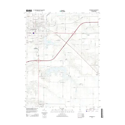
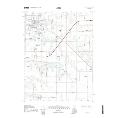
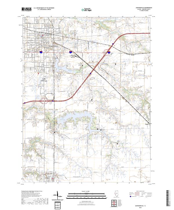 2024 Jacksonville2024 Print · USGSJacksonville and Morgan County are captured here in the mid-2020s, showing the intersection of historic educational institutions and prairie waterways. Researchers can locate many local burial sites like Hoag Cem and Sheppard Cem, or trace the campus of Illinois College.
End of results
Showing maps 1-20 of 20
Top cities near Jacksonville
- South Jacksonville historical maps
- Virginia historical maps
- Winchester historical maps
- Ashland historical maps
- Murrayville historical maps
- Chapin historical maps
See more
Frequently asked questions
- What are the different types of historical maps available for Jacksonville?
- What is the oldest map of Jacksonville?
- Where can I purchase historical maps of Jacksonville for my home or office?
- Where can I download high-res historical maps of Jacksonville?
- Are there historical topographic maps available for Jacksonville?
- Is there historical aerial imagery available for Jacksonville?
- Where are historical maps of Jacksonville sourced from?