Old Maps of Peoria, Illinois for Academic Research
Study the evolution of Peoria with 44 high-resolution historic maps. Whether you're teaching, researching, or modeling changes in land use, these maps provide essential visual documentation of urban, environmental, and geographic change.
- Analyze long-term change: Track patterns in development, transportation, and natural features.
- Ideal for environmental or urban studies: Support academic projects with primary historical map data.
- Use in the classroom or lab: Educators and researchers rely on these maps to bring historical context to life.
These maps are a powerful tool for teaching, research, and visualizing how Peoria has changed over the decades.
Peoria, IL maps
(44)- 1893 Map of Dunlap
 1893 Dunlap1893 Print · USGSPeoria County and the Illinois River valley are seen here in the 1890s, when the region was a bustling network of rail towns and river bluffs. Genealogists can trace family roots in early settlements like Dunlap, Princeville, and the river community of Mossville.
 - 1898 Map of Dunlap
 1898 Dunlap1898 Print · USGSPeoria County and its neighboring townships thrive along the river bluffs and rail lines during the late 1890s. Researchers can trace the path of the Atchison Topeka and Santa Fe Railroad and locate vanished rural centers like Wady Petra and Orange Prairie.4 unique versions available
 - 1905 Map of Peoria
 1905 Peoria1905 Print · USGSPeoria and Pekin at the turn of the century are revealed here as major industrial hubs defined by the Illinois River. Researchers can trace the early rail network and locate landmarks like Orchard Mines, the Insane Asylum, and the Poor Farm.4 unique versions available
 - 1927 Map of Peoria, 1955 Print
 1927 Peoria1955 Print · USGSPeoria and the Illinois River valley are shown here during the mid-1930s, capturing a critical era of rail expansion and industrial growth. Genealogists and researchers can trace local landmarks like the State Hospital, Orchard Mines, and the Poor Farm.
 - 1932 Map of Dunlap
 1932 Dunlap1932 Print · USGSNorth of Peoria in the late nineteenth century, the prairie landscape was being reshaped by a dense network of competing rail lines. Trace old homesteads and vanished stops like Orange Prairie and Wady Petra along the Illinois River bluffs.
 - 1933 Map of Dunlap
 1933 Dunlap1933 Print · USGSPeoria County's agricultural heartland and river bluffs are captured here between the world wars, when coal mines and early airfields sat alongside rural hamlets. Family historians can locate dozens of country schools, family-named cemeteries like Dickison Cem, and the historic Evans Mill Bridge.
 - 1937 Map of Dunlap
 1937 Dunlap1937 Print · USGSPeoria County and its river bluffs are shown in the 1930s as a vital transportation hub of railroads and early airfields. Researchers can trace rural lineages through the many schools and burial grounds like Lawn Ridge Cem, Prospect Cem, and Hazel Dell Sch.3 unique versions available
 - 1949 Map of Peoria East, 1966 Print
 1949 Peoria East1966 Print · USGSMid-century Peoria and the Illinois River shoreline show a thriving industrial and rail landscape during a period of significant growth. Genealogists and historians can locate dozens of neighborhood schools like Bradley University and Woodrow Wilson Sch, alongside the rail yards of the Illinois Terminal.5 unique versions available
 - 1949 Map of Peoria West, 1967 Print
 1949 Peoria West1967 Print · USGSPeoria and its western suburbs show a mix of industrial riverfront and expanding residential tracts just after the war. Local historians can trace the footprint of the Peoria Municipal Airport, the State Hospital Farm, and family-named schools like Calvin Coolidge Sch.3 unique versions available
 - 1949 Map of Spring Bay, 1979 Print
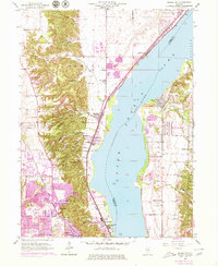 1949 Spring Bay1979 Print · USGSPeoria and the Illinois River bluffs were undergoing significant transformation in the mid-century era. Genealogists and local historians can trace family-named sites like Mt Hawley Cem, the Mossville Sch, and established neighborhoods from Sankoty to Rome.
 - 1950 Map of Spring Bay
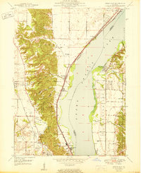 1950 Spring Bay1950 Print · USGSPeoria Lake and the Illinois River valley are seen here just after the war, showing the industrial and recreational growth of the riverfront. Researchers can locate the Mt Hawley Airport, the rail corridor of the Chicago Rock Island and Pacific, and the wooded hollows of Detweiller Park.2 unique versions available
 - 1950 Map of Peoria West
 1950 Peoria West1950 Print · USGSMid-century Peoria is a bustling rail and river hub at the height of its industrial era. Genealogists and historians can trace the foundations of local communities through landmarks like the Peoria State Hospital, Golden Acres, and the Peoria Municipal Airport.
 - 1950 Map of Peoria East
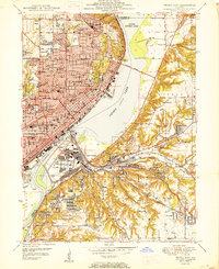 1950 Peoria East1950 Print · USGSPeoria and the Illinois River valley are shown here just after the war, at a peak of industrial and urban density. Genealogists and local historians can trace hundreds of family and community landmarks, from Springdale Cemetery to the neighborhoods of Creve Coeur and Peoria Heights.
 - 1958 Map of Peoria, 1969 Print
 1958 Peoria1969 Print · USGSCentral Illinois thrived as a hub of education and transport during the late sixties, as the new interstate system began to reshape the prairie. Genealogists and historians can trace local landmarks like Springdale Cem, Bradley University, and the sprawling grounds of Chanute AFB.4 unique versions available
 - 1961 Map of Peoria
 1961 Peoria1961 Print · USGSCentral Illinois thrived at the intersection of river trade and rail power during the late fifties. Genealogists and local historians can trace the rail networks of the Illinois Central and Wabash, alongside landmarks like Chanute AFB and Weldon Springs State Park.
 - 1963 Map of Peoria
 1963 Peoria1963 Print · USGSCentral Illinois thrived as a rail and highway crossroads during the early sixties, centered on the bustling Illinois River valley. Genealogists and historians can trace the mid-century layout of Peoria, locate the grounds of Chanute Air Force Base, and follow historic lines like the Toledo Peoria and Western Railway.
 - 1971 Map of Dunlap, 1973 Print
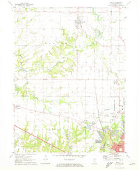 1971 Dunlap1973 Print · USGSPeoria's northern rural fringe in the early 1970s shows the transition from quiet township life to suburban growth. Genealogists and historians can locate family plots at St Clements Cem, trace the old rail lines, and find vanished landmarks like the Drive-in Theater and Grange Hall.2 unique versions available
 - 1985 Map of Peoria
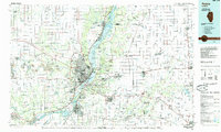 1985 Peoria1985 Print · USGSThe Illinois River valley and the Tri-County area are captured here in the mid-1980s as industry and infrastructure reshaped the heart of the state. Researchers can trace the grounds of Jubilee College, locate the Stark Mine near Elmwood, or follow the busy tracks of the Norfolk and Western Railroad.
 - 1989 Map of Peoria
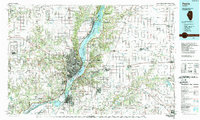 1989 Peoria1989 Print · USGSThe Illinois River valley thrived as a regional center of industry, education, and transport during the late eighties. Researchers can trace the extensive rail networks of the Peoria and Pekin Union Railway or locate landmarks like Bradley University and the Peoria Air National Guard Base.
 - 1990 Map of Peoria
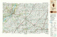 1990 Peoria1990 Print · USGSCentral Illinois at the start of the nineties reveals a landscape of industrial river towns and sprawling university campuses. Researchers can trace the legacy of major institutions like Chanute Air Force Base and the University of Illinois alongside regional landmarks such as Sand Ridge State Forest.
 - 1996 Map of Spring Bay, 1997 Print
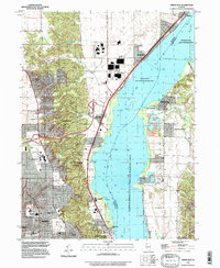 1996 Spring Bay1997 Print · USGSThe Illinois River valley north of Peoria comes into focus in the mid-1990s, showing a mix of industrial riverfront and wooded bluffs. Researchers can trace local landmarks like Mt Hawley Auxiliary Airport, Robinson Cem, and the community of Mossville.
 - 1996 Map of Peoria East, 1997 Print
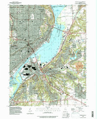 1996 Peoria East1997 Print · USGSThe Illinois River valley in the late twentieth century reveals a bustling metropolitan hub where industry and education meet on the water. Researchers can trace family roots through Bradley University, find old burials at Mooberry Cem, or locate landmarks like Fort Creve Coeur State Park.
 - 1996 Map of Peoria West, 1997 Print
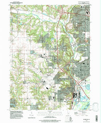 1996 Peoria West1997 Print · USGSGreater Peoria in the mid-1990s reveals a complex network of industrial rail, suburban expansion, and river infrastructure. Genealogists and local historians can trace family-named sites like Cameron Cem, schools such as Oak Grove West Sch, and the layout of Pottstown.
 - 1996 Map of Dunlap, 1997 Print
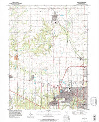 1996 Dunlap1997 Print · USGSCentral Illinois farmland meets suburban growth in the late twentieth century near Peoria. Researchers can trace local history through family-named landmarks like Dickson Cem and the route of the Rock Island Trail State Park.
 - 2012 Map of Dunlap, 2012 Print
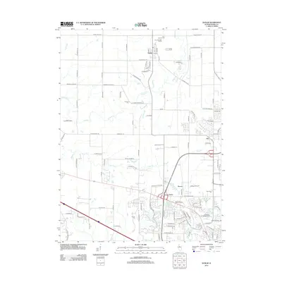 2012 Dunlap2012 Print · USGSPeoria County enters a new era of suburban growth in this 2012 survey, as residential neighborhoods expand around established centers like Dunlap. Genealogists and local historians can locate several family and community burial grounds, including Koerner Cem and Resurrection Cem.
Showing maps 1-25 of 44
Top cities near Peoria
- Pekin historical maps
- East Peoria historical maps
- Groveland historical maps
- Morton historical maps
- Washington historical maps
- Bartonville historical maps
See more
Top neighborhoods of Peoria
- Sankoty historical maps
- El Vista historical maps
- Keller historical maps
- Arbor District historical maps
- Roanoke-Randolph Street Historic District historical maps
- Armstrong-Ellis historical maps
See more
Frequently asked questions
- What are the different types of historical maps available for Peoria?
- What is the oldest map of Peoria?
- Where can I purchase historical maps of Peoria for my home or office?
- Where can I download high-res historical maps of Peoria?
- Are there historical topographic maps available for Peoria?
- Is there historical aerial imagery available for Peoria?
- Where are historical maps of Peoria sourced from?