2000s (21st Century) Maps of Pope County, Illinois
Explore 60 historic maps of Pope County from the 2000s (21st Century). These maps offer a rare glimpse into what life looked like during the 2000s — showing old roads, neighborhoods, homes, and landmarks that have changed or disappeared over time.
Whether you're researching your family's past, planning a metal detecting trip, or studying how Pope County's landscape evolved across the 2000s, these high-resolution maps are a powerful tool for exploring the history of this region.
- Focus on a specific era: All maps on this page are from the 2000s, giving you a focused view of this time period.
- See what’s changed: Compare century-old streets, trails, and buildings to today's modern landscape using overlays and satellite layers.
- Research with precision: Use these maps for genealogy, historical research, land use analysis, or educational projects.
- View, download, or print: Maps are fully viewable online in high resolution, and can be downloaded or printed for your own records.
Start exploring Pope County's history through authentic maps from the 2000s. This is your window into the past.
Pope County, IL maps
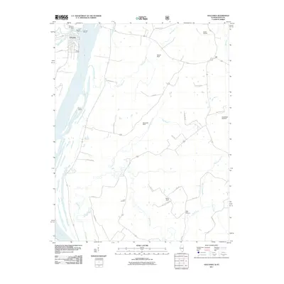
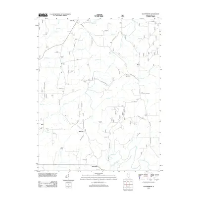
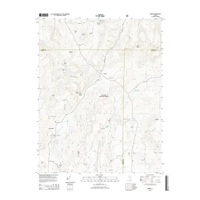
(60)- 2010 Map of Little Cypress, 2010 Print
 2010 Little Cypress2010 Print · USGSCovers Pope County, including Calvert City, New Liberty, and other nearby areas
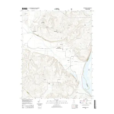
 - 2011 Map of Brownfield, 2011 Print
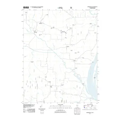 2011 Brownfield2011 Print · USGSCovers Pope County, including Hodgeville, Homberg, and other nearby areas
 - 2011 Map of Shetlerville, 2011 Print
 2011 Shetlerville2011 Print · USGSCovers Pope County, including Carrsville, Gowins, and other nearby areas
 - 2011 Map of Smithland, 2011 Print
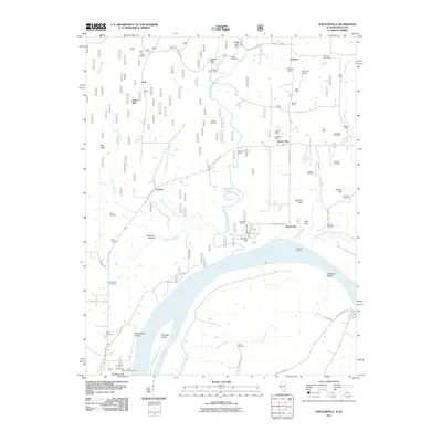
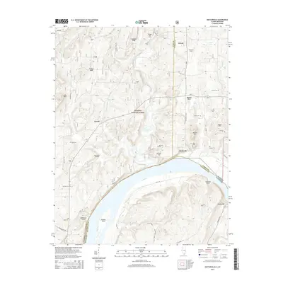
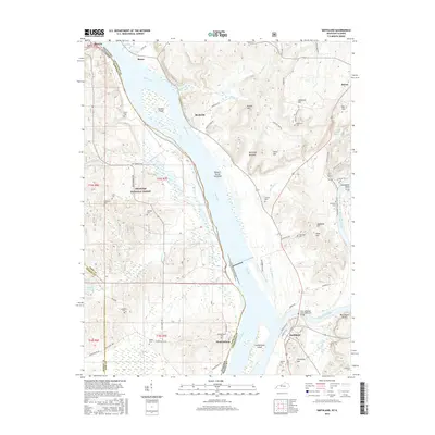
 2011 Smithland2011 Print · USGSCovers Pope County, including Smithland, Bay City, and other nearby areas
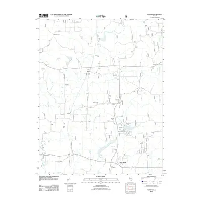
 - 2011 Map of Golconda, 2011 Print
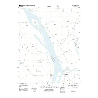
 2011 Golconda2011 Print · USGSCovers Pope County, including Golconda, Joy, and other nearby areas
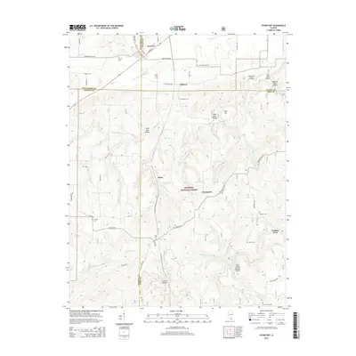
 - 2012 Map of Waltersburg, 2012 Print
 2012 Waltersburg2012 Print · USGSCovers Pope County, including Eddyville, Rock, and other nearby areas
 - 2012 Map of Glendale, 2012 Print
 2012 Glendale2012 Print · USGSCovers Pope County, including Simpson, Dixon Springs, and other nearby areas
 - 2012 Map of Eddyville, 2012 Print
 2012 Eddyville2012 Print · USGSCovers Pope County, including Eddyville, Delwood, and other nearby areas
 - 2012 Map of Reevesville, 2012 Print
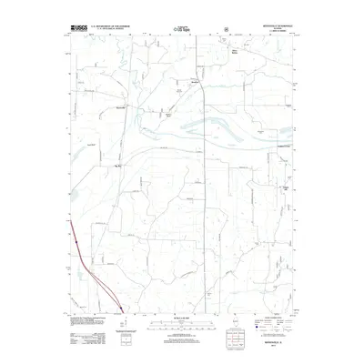 2012 Reevesville2012 Print · USGSCovers Pope County, including Renshaw, Big Bay, and other nearby areas
 - 2012 Map of Paducah NE, 2012 Print
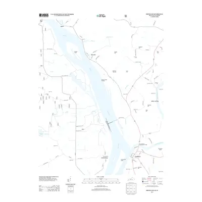
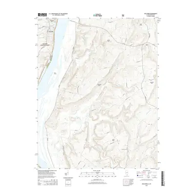
 2012 Paducah NE2012 Print · USGSCovers Pope County, including Brookport, Massac County, and other nearby areas
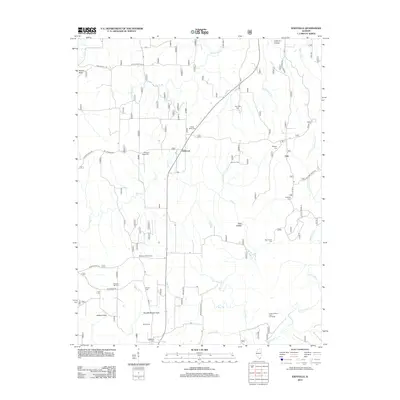
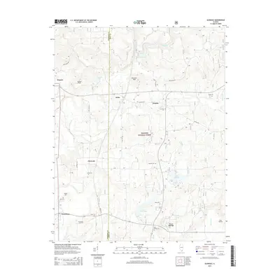
 - 2012 Map of Herod, 2012 Print
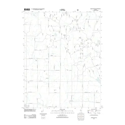
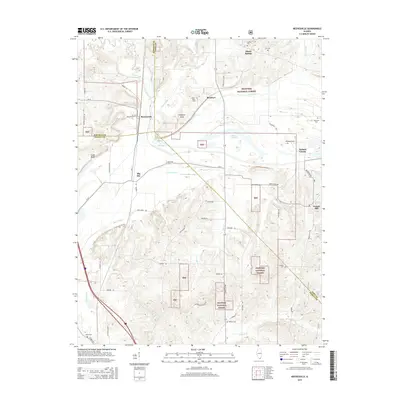
 2012 Herod2012 Print · USGSCovers Pope County, including Herod, Hicks, and other nearby areas
 - 2012 Map of Stonefort, 2012 Print
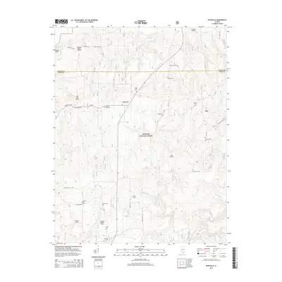
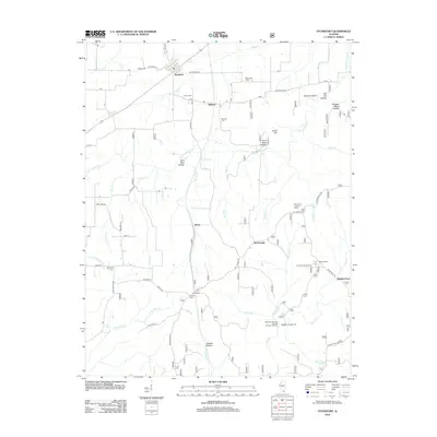 2012 Stonefort2012 Print · USGSCovers Pope County, including Abbot, Watkins Ford, and other nearby areas
 - 2013 Map of Little Cypress, 2013 Print
 2013 Little Cypress2013 Print · USGSCovers Pope County, including Calvert City, New Liberty, and other nearby areas
 - 2013 Map of Smithland, 2013 Print
 2013 Smithland2013 Print · USGSCovers Pope County, including Smithland, Bay City, and other nearby areas
 - 2015 Map of Herod, 2015 Print
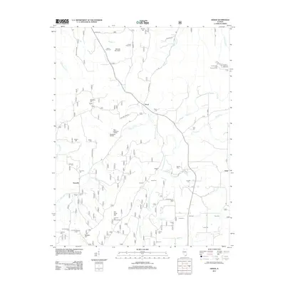
 2015 Herod2015 Print · USGSCovers Pope County, including Herod, Hicks, and other nearby areas
 - 2015 Map of Brownfield, 2015 Print
 2015 Brownfield2015 Print · USGSCovers Pope County, including Hodgeville, Homberg, and other nearby areas
 - 2015 Map of Paducah NE, 2015 Print
 2015 Paducah NE2015 Print · USGSCovers Pope County, including Brookport, Massac County, and other nearby areas
 - 2015 Map of Glendale, 2015 Print
 2015 Glendale2015 Print · USGSCovers Pope County, including Simpson, Dixon Springs, and other nearby areas
 - 2015 Map of Stonefort, 2015 Print
 2015 Stonefort2015 Print · USGSCovers Pope County, including Abbot, Watkins Ford, and other nearby areas
 - 2015 Map of Waltersburg, 2015 Print
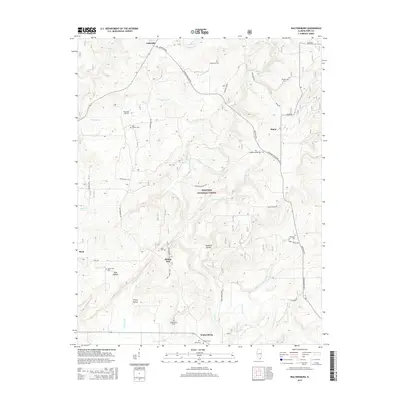 2015 Waltersburg2015 Print · USGSCovers Pope County, including Eddyville, Rock, and other nearby areas
 - 2015 Map of Golconda, 2015 Print
 2015 Golconda2015 Print · USGSCovers Pope County, including Golconda, Joy, and other nearby areas
 - 2015 Map of Eddyville, 2015 Print
 2015 Eddyville2015 Print · USGSCovers Pope County, including Eddyville, Delwood, and other nearby areas
 - 2015 Map of Reevesville, 2015 Print
 2015 Reevesville2015 Print · USGSCovers Pope County, including Renshaw, Big Bay, and other nearby areas
 - 2015 Map of Shetlerville, 2015 Print
 2015 Shetlerville2015 Print · USGSCovers Pope County, including Carrsville, Gowins, and other nearby areas
 - 2016 Map of Smithland, 2016 Print
 2016 Smithland2016 Print · USGSCovers Pope County, including Smithland, Bay City, and other nearby areas
Showing maps 1-25 of 60
Top cities of Pope County
Frequently asked questions
- What are the different types of historical maps available for Pope County?
- What is the oldest map of Pope County?
- Where can I purchase historical maps of Pope County for my home or office?
- Where can I download high-res historical maps of Pope County?
- Are there historical topographic maps available for Pope County?
- Is there historical aerial imagery available for Pope County?
- Where are historical maps of Pope County sourced from?