2010s Maps of Pope County, Illinois
Explore 38 historic maps of Pope County from the 2010s. These maps offer a rare glimpse into what life looked like during the 2010s — showing old roads, neighborhoods, homes, and landmarks that have changed or disappeared over time.
Whether you're researching your family's past, planning a metal detecting trip, or studying how Pope County's landscape evolved across the 2010s, these high-resolution maps are a powerful tool for exploring the history of this region.
- Focus on a specific era: All maps on this page are from the 2010s, giving you a focused view of this time period.
- See what’s changed: Compare century-old streets, trails, and buildings to today's modern landscape using overlays and satellite layers.
- Research with precision: Use these maps for genealogy, historical research, land use analysis, or educational projects.
- View, download, or print: Maps are fully viewable online in high resolution, and can be downloaded or printed for your own records.
Start exploring Pope County's history through authentic maps from the 2010s. This is your window into the past.
Pope County, IL maps
(38)- 2010 Map of Little Cypress, 2010 Print
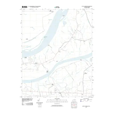 2010 Little Cypress2010 Print · USGSWestern Kentucky near the meeting of the Ohio and Tennessee Rivers comes into focus here in the early twenty-first century. Genealogists and local historians can trace family ties at Possum Trot, Crowell Landing, and Leeper Cemetery.
 - 2011 Map of Brownfield, 2011 Print
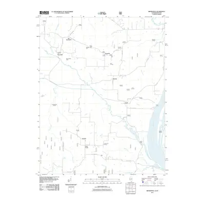 2011 Brownfield2011 Print · USGSSouthern Illinois river country is surveyed here in the early 21st century, showing a landscape defined by the Ohio River and scattered rural hamlets. Researchers can trace local lineages through more than a dozen sites like Fields Cemetery and Williams Cemetery, or locate the Brownfield Post Office and the Deputy Lookout Tower.
 - 2011 Map of Shetlerville, 2011 Print
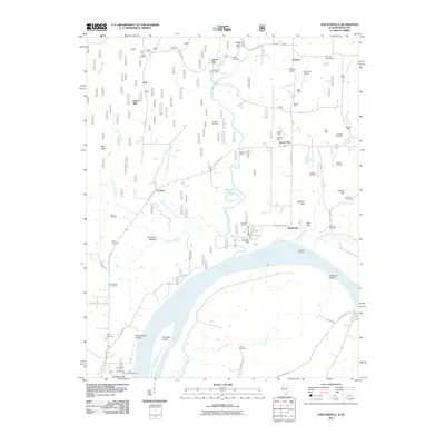 2011 Shetlerville2011 Print · USGSThe Illinois-Kentucky borderlands along the Ohio River are captured here in the early twenty-first century. Genealogists and local historians can trace family-named sites like Dutton Cemetery or follow the legacy of local industry through the Twitchell Mine and Stewart Mine.
 - 2011 Map of Smithland, 2011 Print
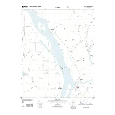 2011 Smithland2011 Print · USGSThe confluence of the Ohio and Cumberland rivers at the turn of the millennium remains a hub of maritime and mining activity. Local researchers can trace family plots at Audubon and Edmonds Cemetery or locate industrial sites like Dyer Hill Mine.
 - 2011 Map of Golconda, 2011 Print
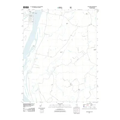 2011 Golconda2011 Print · USGSSettled along the riverbanks in the early twenty-first century, this Pope County area shows the enduring connection between the water and the land. Researchers can find family landmarks like Lay Cemetery and trace the terrain near Mantle Rock or Joy.
 - 2012 Map of Waltersburg, 2012 Print
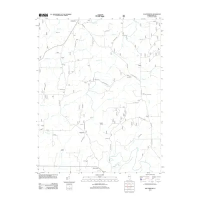 2012 Waltersburg2012 Print · USGSSouthern Illinois at the start of the 2010s reveals a landscape defined by creek-bottom hollows and quiet rural crossroads. Genealogists can trace the history of Waltersburg and Raum while locating family burial sites like Ellis Cem and Whiteside Cem.
 - 2012 Map of Glendale, 2012 Print
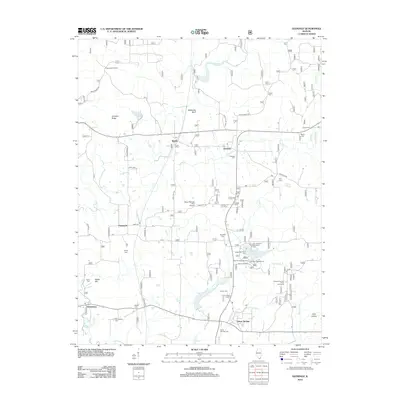 2012 Glendale2012 Print · USGSSouthern Illinois woodland and rural settlements define this area during the early twenty-first century. Genealogists and local historians can trace family roots through numerous sites like Harper Cem, Roland Cem, and the settlement of Flatwoods.
 - 2012 Map of Eddyville, 2012 Print
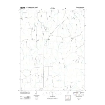 2012 Eddyville2012 Print · USGSSouthern Illinois hill country is captured here during the early twenty-first century, showing a landscape defined by small rural settlements and deep-rooted family sites. Genealogists can trace lineage through numerous burial grounds like Evans Cem, Barger Cem, and New Liberty Cem.
 - 2012 Map of Reevesville, 2012 Print
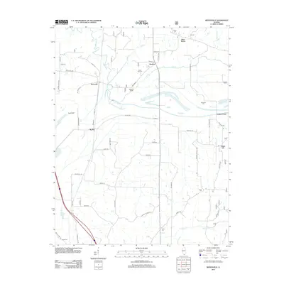 2012 Reevesville2012 Print · USGSSouthern Illinois at the edge of the national forest is captured here during the early twenty-first century. Family history researchers can locate numerous burial grounds like Mount Olive Cem and Canaan Cem, alongside small hubs like Renshaw and Temple Hill.
 - 2012 Map of Paducah NE, 2012 Print
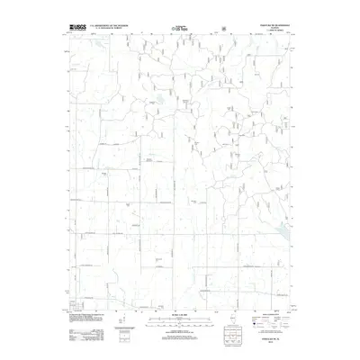 2012 Paducah NE2012 Print · USGSMassac County's rural northern reaches are captured here in the early twenty-first century, showing a landscape defined by ancestral family lands and small creek drainages. Genealogists can trace decades of local history through dozens of sites like Masonic Cem, Roe Cem, and the distinctive Buzzard Roost Cem.
 - 2012 Map of Herod, 2012 Print
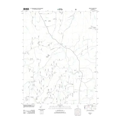 2012 Herod2012 Print · USGSThe Shawnee National Forest region comes into focus during the early twenty-first century, showing a landscape defined by deep ridges and small rural settlements. Researchers can locate numerous family burial sites like Stuby Cem and explore the geography of One Horse Gap and Williams Hill.
 - 2012 Map of Stonefort, 2012 Print
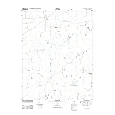 2012 Stonefort2012 Print · USGSSouthern Illinois at the start of the twenty-first century reveals a landscape of deep-cut hollows and small farming settlements. Genealogists and hikers can trace family sites like Blackman Cem and Joyner Cem or explore landmarks such as Burden Falls and Stonefort Bluff.
 - 2013 Map of Little Cypress, 2013 Print
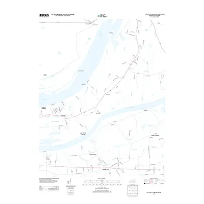 2013 Little Cypress2013 Print · USGSMarshall County at the start of the 2010s reveals a complex network of river landings and small settlements where the Tennessee meets the Ohio. Genealogists and historians can trace family-named sites like Possum Trot, New Liberty, and Sand Hill Cem.
 - 2013 Map of Smithland, 2013 Print
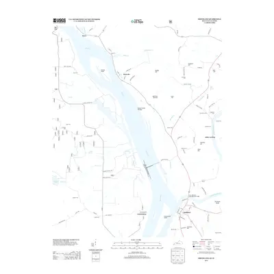 2013 Smithland2013 Print · USGSThe confluence of the Ohio and Cumberland rivers comes into focus in this 2013 survey. Genealogists and local historians can trace family plots at Audubon Cem and Barnett Cem or explore riverside landings like Morrison Landing and Miller Landing.
 - 2015 Map of Herod, 2015 Print
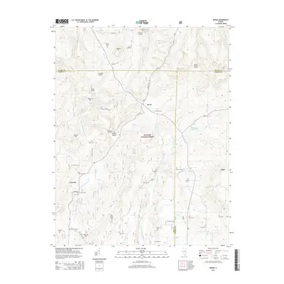 2015 Herod2015 Print · USGSSouthern Illinois hill country is captured here in the mid-2010s, showing the intersection of three counties within the Shawnee National Forest. Genealogists can locate dozens of remote burial sites like Old Grandpierre Cem and Lavender Cem near the settlement of Herod.
 - 2015 Map of Brownfield, 2015 Print
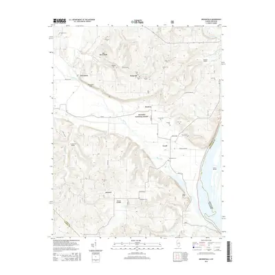 2015 Brownfield2015 Print · USGSSouthern Illinois and the Kentucky border appear here in the mid-2010s, where the Ohio River meets the timberlands of the SHAWNEE NATIONAL FOREST. Genealogists can trace numerous family burial sites and rural communities like Hodgeville, Rosebud, and Shedville Cem.
 - 2015 Map of Paducah NE, 2015 Print
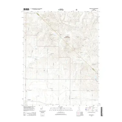 2015 Paducah NE2015 Print · USGSSouthern Illinois just north of the Ohio River is documented here during the mid-2010s as a region of dense family settlements and forest land. Genealogists and local historians can trace legacy sites like Douglas Cem, Buzzard Roost Cem, and the Shawnee National Forest boundary.
 - 2015 Map of Glendale, 2015 Print
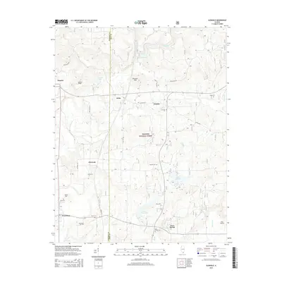 2015 Glendale2015 Print · USGSSouthern Illinois forest lands and rural hamlets are mapped here at the start of the 2010s. Genealogists and hikers can trace paths to Millstone Bluff, find remote burial sites like Kerley Cem, or explore the waters of Lake Glendale.
 - 2015 Map of Stonefort, 2015 Print
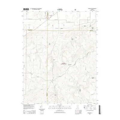 2015 Stonefort2015 Print · USGSSouthern Illinois at the junction of four counties is captured here in the mid-2010s, showing a landscape of deep hollows and forest settlements. Genealogists and hikers can locate numerous burial grounds like Old Zion Cem or visit the Bell Smith Natural Bridge.
 - 2015 Map of Waltersburg, 2015 Print
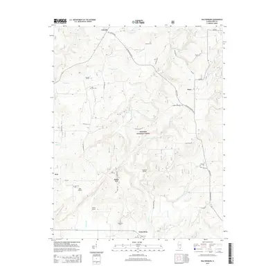 2015 Waltersburg2015 Print · USGSPope County’s forested hills and rural crossroads are preserved here during the mid-2010s. Genealogists and local historians can locate numerous burial grounds and small settlements, including Waltersburg Cem, Rising Sun, and the Palestine Cem.
 - 2015 Map of Golconda, 2015 Print
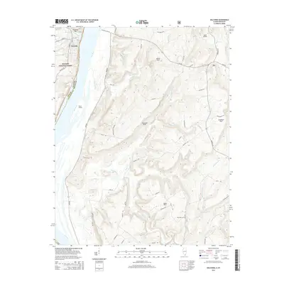 2015 Golconda2015 Print · USGSThe river town of Golconda and the bluffs of the Shawnee National Forest are shown here in the mid-2010s. Genealogists and hikers can trace family names at Lay Cem, explore the terrain around Mantle Rock, or locate the site of Pryor Island.
 - 2015 Map of Eddyville, 2015 Print
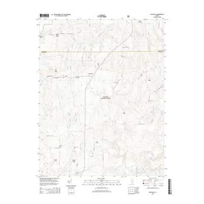 2015 Eddyville2015 Print · USGSSouthern Illinois forest land and small rural outposts are mapped here in the mid-2010s, showing the intersection of public lands and private history. Researchers can pinpoint dozens of local burial sites like Evans Cemetary and McNally Cem near the communities of Delwood and Oak.
 - 2015 Map of Reevesville, 2015 Print
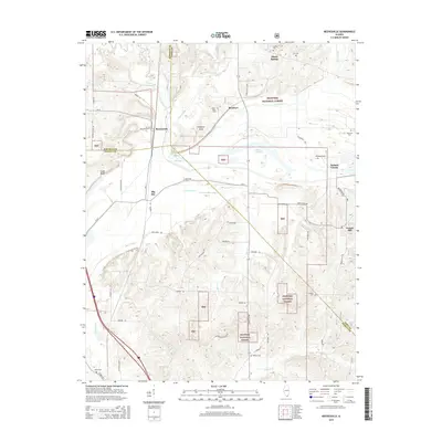 2015 Reevesville2015 Print · USGSSouthern Illinois at the crossroads of Johnson, Pope, and Massac counties is captured here in the mid-2010s. Genealogists and local historians can trace family roots through numerous sites like Henley Cem, Allens Spring, and the rural community of Reevesville.
 - 2015 Map of Shetlerville, 2015 Print
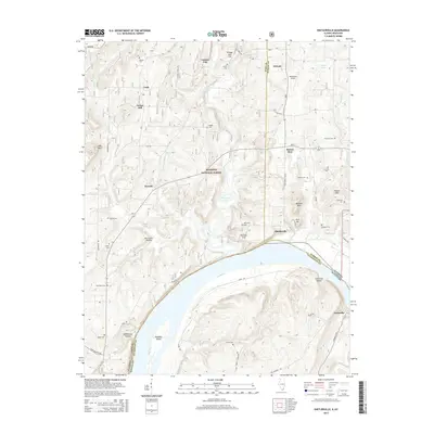 2015 Shetlerville2015 Print · USGSThe Illinois-Kentucky borderlands along the Ohio River appear in detail on this modern survey. Genealogists and historians can trace numerous family burial grounds like Dutton Cem and Twitchell Cem or locate riverfront settlements such as Shetlerville and Carrsville.
 - 2016 Map of Smithland, 2016 Print
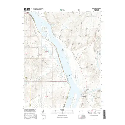 2016 Smithland2016 Print · USGSThe river confluence at Smithland is captured here during the mid-2010s, showing the meeting of the Ohio River and Cumberland River. Trace family history through dozens of rural burial grounds like Kickasola Cem and Rock Quarry Cem.
Showing maps 1-25 of 38
Top cities of Pope County
Frequently asked questions
- What are the different types of historical maps available for Pope County?
- What is the oldest map of Pope County?
- Where can I purchase historical maps of Pope County for my home or office?
- Where can I download high-res historical maps of Pope County?
- Are there historical topographic maps available for Pope County?
- Is there historical aerial imagery available for Pope County?
- Where are historical maps of Pope County sourced from?