2020s Maps of Richland County, Illinois
Explore 24 historic maps of Richland County from the 2020s. These maps offer a rare glimpse into what life looked like during the 2020s — showing old roads, neighborhoods, homes, and landmarks that have changed or disappeared over time.
Whether you're researching your family's past, planning a metal detecting trip, or studying how Richland County's landscape evolved across the 2020s, these high-resolution maps are a powerful tool for exploring the history of this region.
- Focus on a specific era: All maps on this page are from the 2020s, giving you a focused view of this time period.
- See what’s changed: Compare century-old streets, trails, and buildings to today's modern landscape using overlays and satellite layers.
- Research with precision: Use these maps for genealogy, historical research, land use analysis, or educational projects.
- View, download, or print: Maps are fully viewable online in high resolution, and can be downloaded or printed for your own records.
Start exploring Richland County's history through authentic maps from the 2020s. This is your window into the past.
Richland County, IL maps
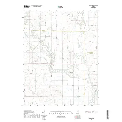
(24)- 2021 Map of Wakefield, 2021 Print
 2021 Wakefield2021 Print · USGSCovers Richland County, including Wakefield, Passport, and other nearby areas
 - 2021 Map of Sailor Springs, 2021 Print
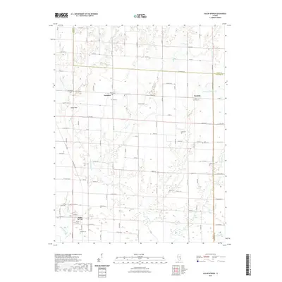 2021 Sailor Springs2021 Print · USGSCovers Richland County, including Sailor Springs, Wendelin, and other nearby areas
 - 2021 Map of West Salem, 2021 Print
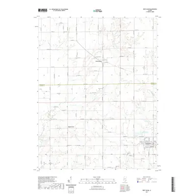 2021 West Salem2021 Print · USGSCovers Richland County, including West Salem, Parkersburg, and other nearby areas
 - 2021 Map of Dundas, 2021 Print
 2021 Dundas2021 Print · USGSCovers Richland County, including Olney, Rafetown, and other nearby areas
 - 2021 Map of Mount Erie, 2021 Print
 2021 Mount Erie2021 Print · USGSCovers Richland County, including Mount Erie, Clay City Township, and other nearby areas
 - 2021 Map of Clay City, 2021 Print
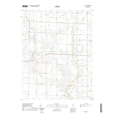 2021 Clay City2021 Print · USGSCovers Richland County, including Clay City, Clay City Township, and other nearby areas
 - 2021 Map of Noble, 2021 Print
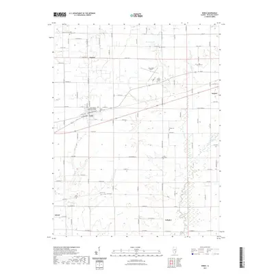 2021 Noble2021 Print · USGSCovers Richland County, including Olney, Noble, and other nearby areas
 - 2021 Map of Olney, 2021 Print
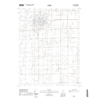 2021 Olney2021 Print · USGSCovers Richland County, including Olney, Calhoun, and other nearby areas
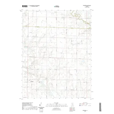
 - 2021 Map of Enterprise, 2021 Print
 2021 Enterprise2021 Print · USGSCovers Richland County, including Clay City Township, Enterprise, and other nearby areas
 - 2021 Map of Claremont, 2021 Print
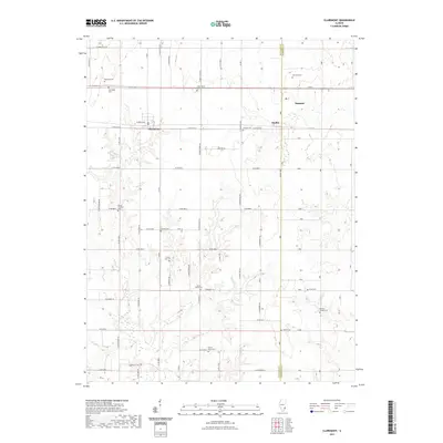 2021 Claremont2021 Print · USGSCovers Richland County, including Sumner, Claremont, and other nearby areas
 - 2021 Map of Berryville, 2021 Print
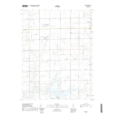
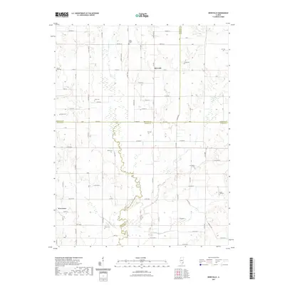 2021 Berryville2021 Print · USGSCovers Richland County, including West Salem, Berryville, and other nearby areas
 - 2021 Map of Landes, 2021 Print
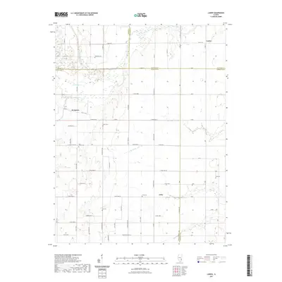 2021 Landes2021 Print · USGSCovers Richland County, including Amity, Landes, and other nearby areas
 - 2024 Map of Claremont, 2024 Print
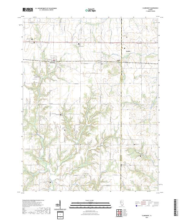 2024 Claremont2024 Print · USGSRichland and Lawrence Counties appear here in the 2020s, showing a landscape defined by generational farming and rural townships. Genealogists can locate specific family landmarks like Dutch Flat Cem, Brinkley Cem, and the small community of Otterbein.
 - 2024 Map of West Salem, 2024 Print
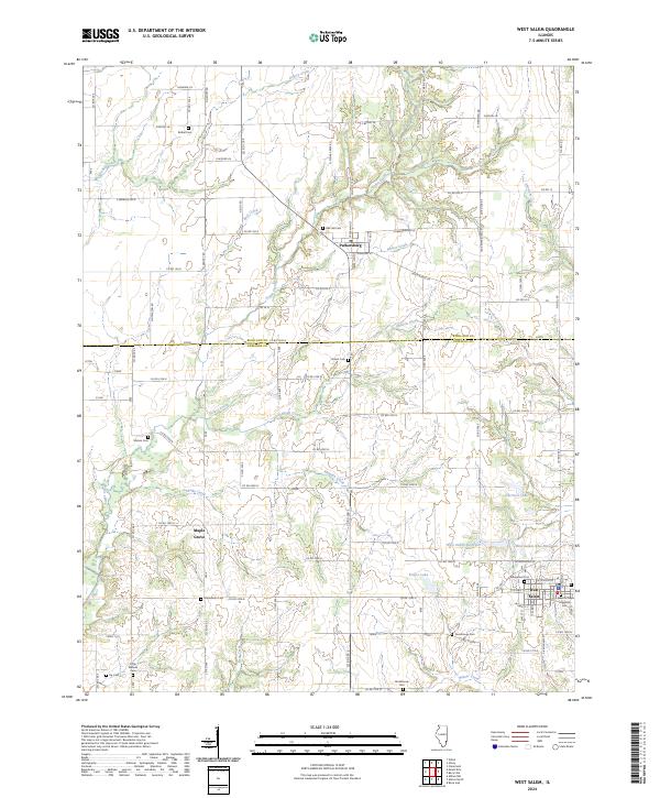 2024 West Salem2024 Print · USGSRichland and Edwards counties meet in this 2024 look at West Salem and Parkersburg, showing a landscape of small-town grids and essential water works. Trace local history through the Evangelical Cem and the waters of West Salem New Reservoir.
 - 2024 Map of Mount Erie, 2024 Print
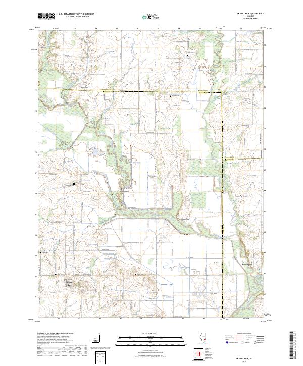 2024 Mount Erie2024 Print · USGSSoutheastern Illinois farm life and river bottomlands are captured here in the contemporary era. Genealogists can trace family lines through several local burial grounds including Carson Cem, Gallagher Cem, and Crews Cem.
 - 2024 Map of Enterprise, 2024 Print
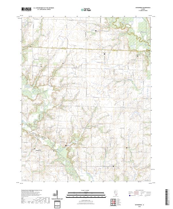 2024 Enterprise2024 Print · USGSThe rural borderlands of Wayne and Clay Counties are shown here in modern detail, highlighting the enduring agricultural character of the Illinois prairie. Researchers can locate numerous family burial grounds including Zif, Laird, and Wells cemeteries.
 - 2024 Map of Sailor Springs, 2024 Print
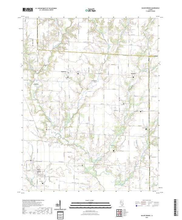 2024 Sailor Springs2024 Print · USGSClay and Jasper counties meet in this rural Illinois landscape, showing the area as it remains shaped by its creek systems and small crossroads. Researchers can locate several historic burial grounds like Saint Johns Cem and Holy Cross Cem, along with the village of Sailor Springs.
 - 2024 Map of Olney, 2024 Print
 2024 Olney2024 Print · USGSRichland County's seat and surrounding rural townships are documented in this modern survey of Olney and its outlying settlements. Genealogists and local historians can map out family plots at Haven Hill Cem or trace the early foundations of Calhoun and Elbow.
 - 2024 Map of Wakefield, 2024 Print
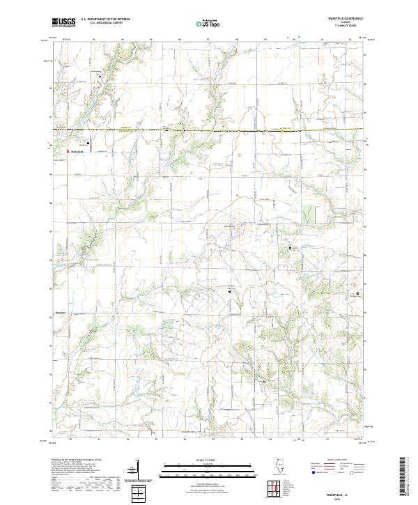 2024 Wakefield2024 Print · USGSThe rural border of Jasper and Richland Counties comes into focus in this contemporary survey of the Illinois prairie. Genealogists can locate family burial grounds including Liberty Cem and Houser Cem or trace the drainage of Hurricane Creek.
 - 2024 Map of Clay City, 2024 Print
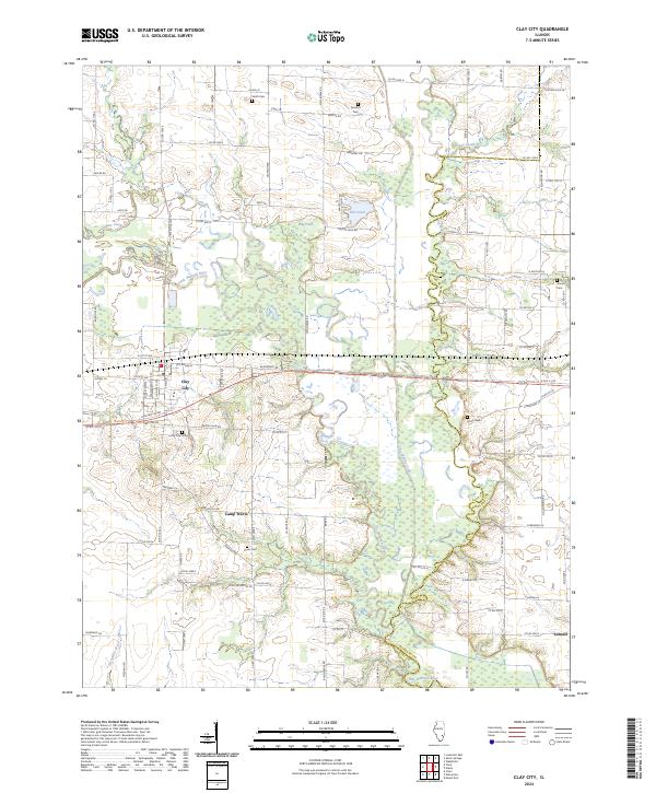 2024 Clay City2024 Print · USGSClay City and the surrounding Illinois river bottoms are captured here in the early twenty-first century. Researchers can trace family history through local landmarks like Smith Cem or Clay City Cem, and follow the winding Little Wabash River toward Schnell.
 - 2024 Map of Dundas, 2024 Print
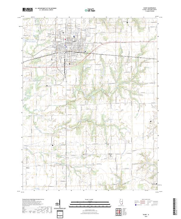
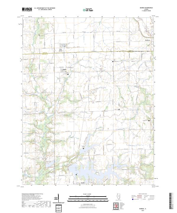 2024 Dundas2024 Print · USGSThe Jasper and Richland county line crosses this Illinois landscape in the early 2020s, revealing a rural network of small settlements and waterways. Researchers can trace family history through numerous local sites like Bethel Cem, McBurg, and Dundas.
 - 2024 Map of Noble, 2024 Print
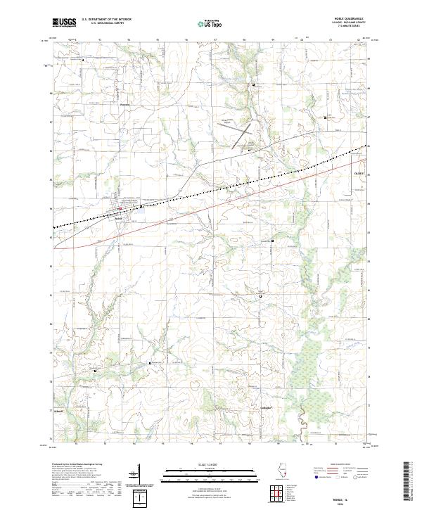 2024 Noble2024 Print · USGSRichland County at the start of the 2020s shows a landscape of established rural settlements and family-named cemeteries. Genealogists and historians can trace lineage across sites like Noble Prairie Cem, Pureton, and the banks of the Fox River.
 - 2024 Map of Berryville, 2024 Print
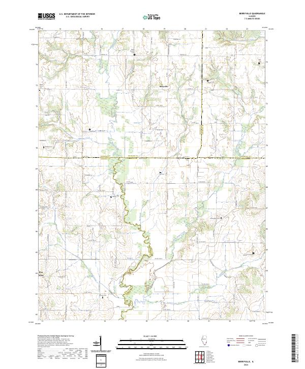 2024 Berryville2024 Print · USGSSoutheast Illinois at the junction of Wabash and Edwards counties is documented here in the 2020s. Genealogists can trace family heritage through numerous burial sites including Shiloh Number 1 Cem, Ridgely Cem, and Paul Cem along the Bonpas Creek drainage.
 - 2024 Map of Landes, 2024 Print
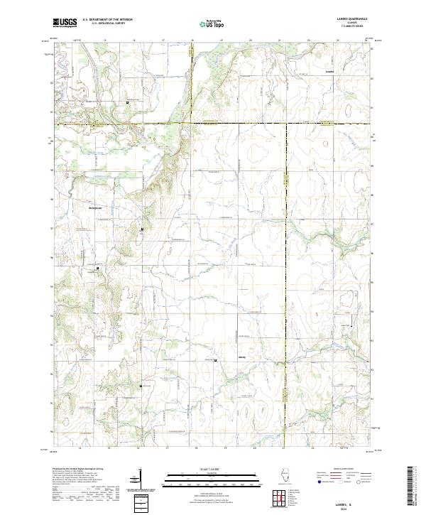 2024 Landes2024 Print · USGSRichland and Jasper counties intersect in this contemporary agricultural landscape shaped by the Embarras River and its tributaries. Local researchers can trace family roots through several rural burial grounds including Dark Bend Cem and Goss Cem, or locate the crossroads of Landes and Stringtown.
End of results
Showing maps 1-24 of 24
Top cities of Richland County
- Olney historical maps
- Noble historical maps
- Parkersburg historical maps
- Calhoun historical maps
- Claremont historical maps
Frequently asked questions
- What are the different types of historical maps available for Richland County?
- What is the oldest map of Richland County?
- Where can I purchase historical maps of Richland County for my home or office?
- Where can I download high-res historical maps of Richland County?
- Are there historical topographic maps available for Richland County?
- Is there historical aerial imagery available for Richland County?
- Where are historical maps of Richland County sourced from?