Old Maps of Carbon Cliff, Illinois for Academic Research
Study the evolution of Carbon Cliff with 34 high-resolution historic maps. Whether you're teaching, researching, or modeling changes in land use, these maps provide essential visual documentation of urban, environmental, and geographic change.
- Analyze long-term change: Track patterns in development, transportation, and natural features.
- Ideal for environmental or urban studies: Support academic projects with primary historical map data.
- Use in the classroom or lab: Educators and researchers rely on these maps to bring historical context to life.
These maps are a powerful tool for teaching, research, and visualizing how Carbon Cliff has changed over the decades.
Carbon Cliff, IL maps
(34)- 1892 Map of Leclaire
 1892 Leclaire1892 Print · USGSThe Mississippi River border between Iowa and Illinois comes alive in the 1890s, before modern locks reshaped the shoreline. Genealogists and historians can trace riverside settlements like Leclaire, Port Byron, and the railroad junction at Watertown.
 - 1893 Map of Leclaire
 1893 Leclaire1893 Print · USGSThe riverfronts of Scott County and Rock Island County thrived in the late nineteenth century as vital hubs for steamboats and steam rail. Researchers can trace the early grids of Leclaire, Port Byron, and Valley City alongside the sprawling banks of the Mississippi River.4 unique versions available
 - 1899 Map of Clinton
 1899 Clinton1899 Print · USGSThe Mississippi River valley comes alive in the late 1890s, capturing the river-and-rail economy of Iowa and Illinois before modern channelization. Genealogists and historians can trace early townships and river landings, finding precise locations for Low Moor, Folletts, and Pink Prairie.5 unique versions available
 - 1937 Map of Orion
 1937 Orion1937 Print · USGSHenry County and Mercer County are captured here in the late 1930s, showing a landscape of small agricultural hubs connected by a dense rail network. Genealogists can trace family footprints through dozens of rural schools like Washington Sch and landmarks like the Valhalla Cemetery.2 unique versions available
 - 1949 Map of Coal Valley
 1949 Coal Valley1949 Print · USGSThe Rock River valley was a hub of coal mining and transit in the late 1940s as the Moline area expanded eastward. Local researchers can trace family landmarks and industry at Black Hawk Mine, the Illinois and Mississippi Canal, and Kingdom Sch.2 unique versions available
 - 1949 Map of Silvis
 1949 Silvis1949 Print · USGSThe Illinois riverfront along the Mississippi at the close of the 1940s reveals a powerful hub of rail and industry. Genealogists and historians can trace institutional grounds like the East Moline State Hospital or find the early Miller Landing Field.
 - 1953 Map of Silvis, 1956 Print
 1953 Silvis1956 Print · USGSThe Quad Cities area flourished in the early fifties as an industrial powerhouse along the Mississippi River. Genealogists and historians can trace the footprint of the East Moline State Hospital, several rural schools like Barr School, and the grounds of Fairview Cemetery.3 unique versions available
 - 1953 Map of Coal Valley, 1956 Print
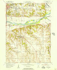 1953 Coal Valley1956 Print · USGSThe Illinois-Iowa border region in the early fifties shows a landscape of river-side industry and emerging suburbs. Genealogists and historians can trace family locations near the Black Hawk Mine, rural Kingdom School, or the small settlements of Crampton and Warner.3 unique versions available
 - 1953 Map of Green Rock, 1957 Print
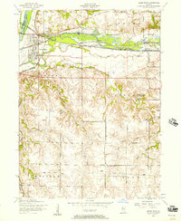 1953 Green Rock1957 Print · USGSHenry County is captured here at a mid-century crossroads where the legacy of the Illinois-Mississippi Canal meets active rail corridors. Local historians can trace the foundations of Green Rock or locate vanished rural landmarks like the Bozize Mine and Stewart School.3 unique versions available
 - 1958 Map of Davenport, 1968 Print
 1958 Davenport1968 Print · USGSEastern Iowa and western Illinois thrive along the river during the late fifties, defined by the industrial Quad Cities and a robust rail network. Genealogists can trace family roots through settlements like Oasis and Stanwood or along the Cedar River.2 unique versions available
 - 1961 Map of Davenport
 1961 Davenport1961 Print · USGSThe Quad Cities and the eastern Iowa riverlands are captured here in the early sixties, showing the region's transition into a modern industrial and transit hub. Genealogists and historians can trace the paths of major railroads and find river landmarks like Rock Island Arsenal, Huron Island, and the Coralville Reservoir.
 - 1962 Map of Davenport
 1962 Davenport1962 Print · USGSThe Quad Cities and the Mississippi River corridor are shown at their industrial peak just before the interstate era fully transformed the region. Researchers can trace the sprawling rail networks of the Chicago Rock Island and Pacific and find landmarks like the Rock Island Arsenal and Wild Cat Den State Park.
 - 1984 Map of Davenport, 1985 Print
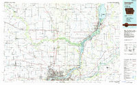 1984 Davenport1985 Print · USGSThe Quad Cities and the eastern Iowa riverlands are captured in the mid-eighties as industry and conservation converged along the Mississippi. Genealogists and local historians can trace rural roots through Stender Church, Oxford Mills, and the Elmwood Cem burial grounds.2 unique versions available
 - 1984 Map of Aledo, 1985 Print
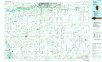 1984 Aledo1985 Print · USGSThe Mississippi River borderlands and Illinois heartland are captured here in the mid-eighties as industry and agriculture overlap. Trace the Hennepin Canal, the historic Swedish colony at Bishop Hill, and the rail corridors of the Burlington Northern.
 - 1989 Map of Aledo
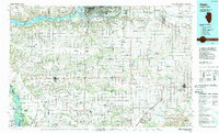 1989 Aledo1989 Print · USGSWestern Illinois and eastern Iowa are shown here during the late twentieth century, when the river-and-rail economy still defined the Quad Cities and the surrounding prairie. Researchers can trace historic settlements like Bishop Hill and Millersburg alongside active routes like the Chicago Rock Island & Pacific RR.
 - 1991 Map of Coal Valley, 1992 Print
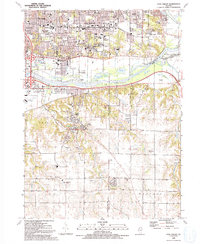 1991 Coal Valley1992 Print · USGSThe confluence of the Rock and Green Rivers defines the landscape of southeastern Rock Island County in the early 1990s. Genealogists and local historians can trace family-named sites like Bowlesburg Cem, Arrowhead Ranch, and Good Shepherd Sch.
 - 1991 Map of Silvis, 1992 Print
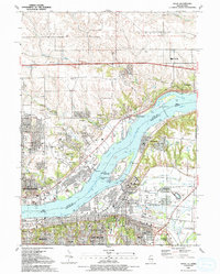 1991 Silvis1992 Print · USGSThe riverfront communities of the Quad Cities thrive along both banks of the Mississippi in the early nineties. Genealogists and local historians can locate family landmarks like Fairview Cem, Forest Grove Sch, and the Quad City Downs racetrack.
 - 1992 Map of Green Rock
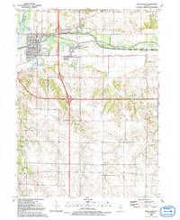 1992 Green Rock1992 Print · USGSHenry County is captured in the early 1990s as a landscape of historic waterways and quiet rural crossroads. Genealogists and local historians can trace family-named sites like Dayton Cem and Warner or follow the path of the Hennepin Canal.
 - 2010 Map of Silvis, 2010 Print
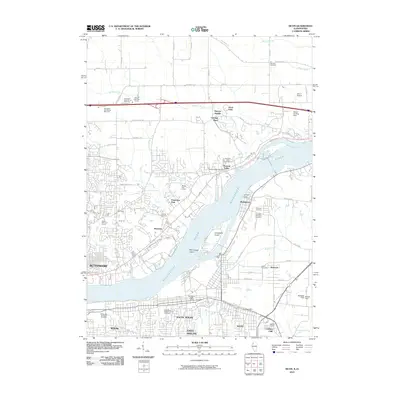 2010 Silvis2010 Print · USGSThe Mississippi River divides Iowa and Illinois in this 2010 survey of the Quad Cities area. Researchers can trace family history through sites like Saint Mary's Catholic Church Cemetery and the riverfront communities of Hampton and Riverdale.
 - 2012 Map of Coal Valley, 2012 Print
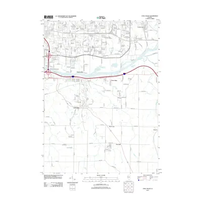 2012 Coal Valley2012 Print · USGSThe Illinois riverfront south of Moline comes into focus in this early twenty-first century survey of suburban and industrial growth. Researchers can locate several burial grounds, such as Coal Valley Cem, alongside landmarks like Black Hawk College and the East Moline Speedway.
 - 2012 Map of Green Rock, 2012 Print
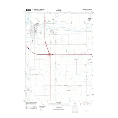 2012 Green Rock2012 Print · USGSThe confluence of the Rock and Green Rivers in the early twenty-first century reveals a landscape of growing towns and established rural crossroads. Genealogists and local historians can trace family plots at Colona Cem or locate the small airfields and golf courses like Hughes RLA Airport and Hill Crest Golf Course.
 - 2012 Map of Silvis, 2012 Print
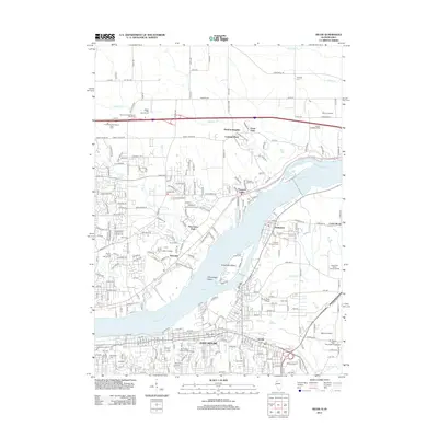 2012 Silvis2012 Print · USGSDavenport and the Quad Cities area show significant industrial and educational growth along the Mississippi River in the early twenty-first century. Genealogists and local historians can trace old community boundaries through Riverside Cem, Scott Community College, and the riverside town of Hampton.
 - 2015 Map of Coal Valley, 2015 Print
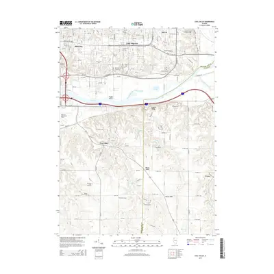 2015 Coal Valley2015 Print · USGSThe Quad Cities area south of the Rock River comes into sharp focus during this period of modern expansion. Researchers can trace local heritage through numerous burial sites like Coal Valley Cem and identify landmarks such as Black Hawk Coll.
 - 2015 Map of Silvis, 2015 Print
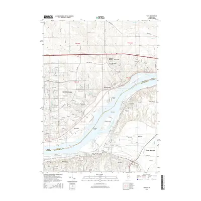 2015 Silvis2015 Print · USGSThe Quad Cities riverfront comes into focus in the mid-2010s, showing the industrial and residential expansion along the Mississippi. Researchers can trace local heritage through sites like Saint Mary's Catholic Church Cem, Hampton, and Winnebago Island.
 - 2015 Map of Green Rock, 2015 Print
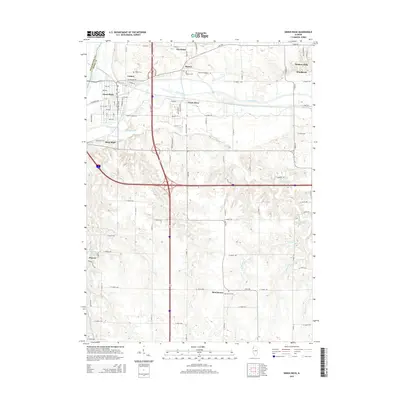 2015 Green Rock2015 Print · USGSHenry County settlement and agriculture define the landscape during the mid-2010s as the suburbs of the Quad Cities meet the prairie. Genealogists and local historians can trace burial sites at Colona and Morristown or locate the rural crossroads at Warner and Briar Bluff.
Showing maps 1-25 of 34
Top cities near Carbon Cliff
- Davenport historical maps
- Moline historical maps
- Bettendorf historical maps
- Rock Island historical maps
- East Moline historical maps
- Silvis historical maps
See more
Frequently asked questions
- What are the different types of historical maps available for Carbon Cliff?
- What is the oldest map of Carbon Cliff?
- Where can I purchase historical maps of Carbon Cliff for my home or office?
- Where can I download high-res historical maps of Carbon Cliff?
- Are there historical topographic maps available for Carbon Cliff?
- Is there historical aerial imagery available for Carbon Cliff?
- Where are historical maps of Carbon Cliff sourced from?