Old Maps of Pleasant Plains, Illinois for Metal Detecting
Plan your next treasure hunt with 17 historic maps of Pleasant Plains. Find old homesites, ghost towns, trails, and gathering spots that may be lost to time — perfect for identifying promising metal detecting locations.
- Locate forgotten sites: Uncover places like long-lost settlements, abandoned rail lines, or gathering spots.
- Plan better hunts: Use map overlays combined with LiDAR or satellite views to narrow in on historically rich areas.
- Made for detectorists: Thousands of hobbyists use these maps to discover relics, coins, and hidden history.
Use these historic maps to boost your research and find new opportunities beneath the surface of Pleasant Plains.
Pleasant Plains, IL maps
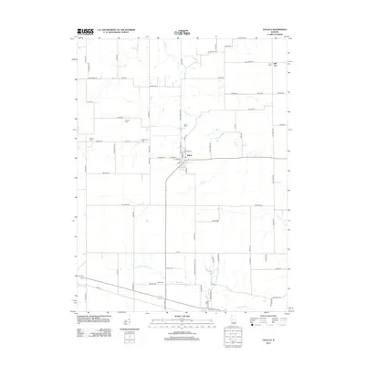
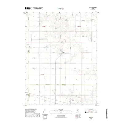
(17)- 1909 Map of Tallula
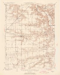
 1909 Tallula1909 Print · USGSCentral Illinois at the turn of the century shows a landscape defined by the Sangamon River and a dense rail network. Researchers can trace the early footprints of Pleasant Plains, Tallula, and Berlin, as well as several smaller stops along the Chicago and Alton RR.3 unique versions available
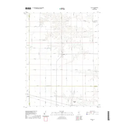
 - 1940 Map of Tallula, 1956 Print
 1940 Tallula1956 Print · USGSCentral Illinois during the late thirties and early forties reveals a landscape of river-bluff history and active rail towns. Genealogists can trace family connections in Tallula, Salisbury, and Berlin, or locate the historic New Salem State Park.2 unique versions available
 - 1958 Map of Decatur, 1971 Print
 1958 Decatur1971 Print · USGSCentral Illinois in the mid-twentieth century shows a landscape defined by industrial rail hubs and the creation of large reservoirs. Researchers can trace historic corridors like the Penn Central or locate landmarks such as Lincoln Log Cabin State Park and Lake Springfield.3 unique versions available
 - 1961 Map of Decatur
 1961 Decatur1961 Print · USGSCentral Illinois in the late fifties was a bustling corridor of rail lines and prairie commerce centered on the state capital. Genealogists and historians can trace the intricate connections between Springfield, Decatur, and dozens of smaller settlements like Nokomis and Arcola.2 unique versions available
 - 1971 Map of Tallula, 1973 Print
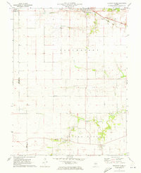
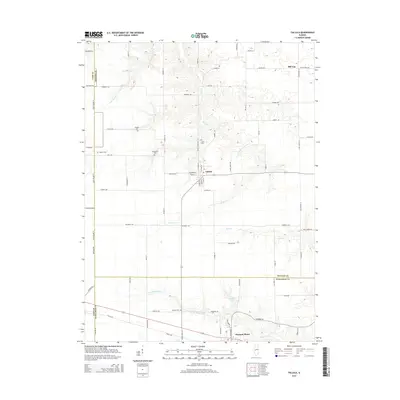
 1971 Tallula1973 Print · USGSIllinois prairie life in the early seventies centers on the rail-side towns of Tallula and Ashland. Researchers can trace old family lines through numerous rural burial sites like Smedly Cem and White Cem while following the paths of the Baltimore and Ohio railroad.
 - 1971 Map of Pleasant Plains, 1973 Print
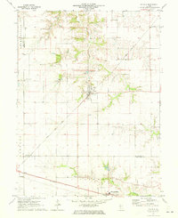
 1971 Pleasant Plains1973 Print · USGSCentral Illinois farm country is captured here in the early seventies as the Baltimore and Ohio railroad serves the grain elevators of Pleasant Plains. Researchers can trace old property lines and rural landmarks like Berlin, the Island Grove Ch, and local cemeteries.
 - 1985 Map of Springfield
 1985 Springfield1985 Print · USGSCentral Illinois during the mid-eighties shows a landscape of growing state capital influence and deep historical roots. Genealogists and historians can trace family sites near Oak Ridge Cem or follow the path of the Sangamon River past Williamsville and Riverton.2 unique versions available
 - 2012 Map of Pleasant Plains, 2012 Print
 2012 Pleasant Plains2012 Print · USGSCovers Pleasant Plains, including Berlin, Claysville, and other nearby areas
 - 2012 Map of Tallula, 2012 Print
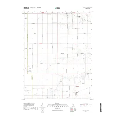
 2012 Tallula2012 Print · USGSCovers Pleasant Plains, including Ashland, Tallula, and other nearby areas
 - 2015 Map of Tallula, 2015 Print
 2015 Tallula2015 Print · USGSCovers Pleasant Plains, including Ashland, Tallula, and other nearby areas
 - 2015 Map of Pleasant Plains, 2015 Print
 2015 Pleasant Plains2015 Print · USGSCovers Pleasant Plains, including Berlin, Claysville, and other nearby areas
 - 2018 Map of Pleasant Plains, 2018 Print
 2018 Pleasant Plains2018 Print · USGSCovers Pleasant Plains, including Berlin, Claysville, and other nearby areas
 - 2018 Map of Tallula, 2018 Print
 2018 Tallula2018 Print · USGSCovers Pleasant Plains, including Ashland, Tallula, and other nearby areas
 - 2021 Map of Tallula, 2021 Print
 2021 Tallula2021 Print · USGSCovers Pleasant Plains, including Ashland, Tallula, and other nearby areas
 - 2021 Map of Pleasant Plains, 2021 Print
 2021 Pleasant Plains2021 Print · USGSCovers Pleasant Plains, including Berlin, Claysville, and other nearby areas
 - 2024 Map of Tallula, 2024 Print
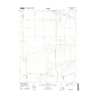
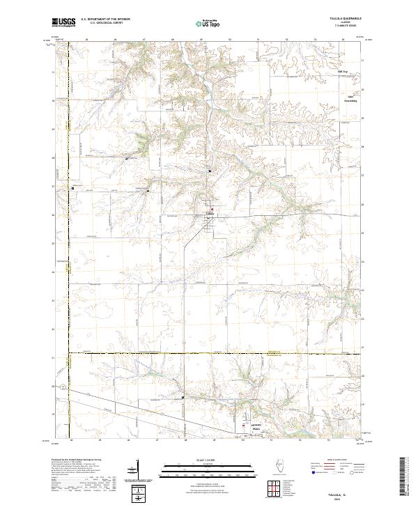 2024 Tallula2024 Print · USGSThe Illinois prairie near the Menard and Sangamon border remains a landscape of quiet agricultural tradition in the 2020s. Researchers can locate several family burial grounds like Greenwood Cem and Smedly Cem or trace the winding waters of Clary Creek.
 - 2024 Map of Pleasant Plains, 2024 Print
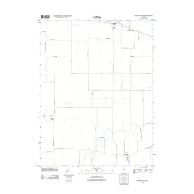
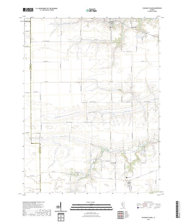 2024 Pleasant Plains2024 Print · USGSSangamon County prairie life is centered on the historic villages of Pleasant Plains and Berlin in this recent survey. Local researchers can locate numerous family burial sites like Irwin Cem and Wood Wreath Cem or trace the path of Spring Creek.
End of results
Showing maps 1-17 of 17
Top cities near Pleasant Plains
- Springfield historical maps
- Chatham historical maps
- Petersburg historical maps
- Athens historical maps
- New Berlin historical maps
- Ashland historical maps
See more
Frequently asked questions
- What are the different types of historical maps available for Pleasant Plains?
- What is the oldest map of Pleasant Plains?
- Where can I purchase historical maps of Pleasant Plains for my home or office?
- Where can I download high-res historical maps of Pleasant Plains?
- Are there historical topographic maps available for Pleasant Plains?
- Is there historical aerial imagery available for Pleasant Plains?
- Where are historical maps of Pleasant Plains sourced from?