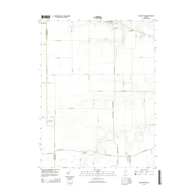
2015 Map of Pleasant Plains
USGS Topo · Published 2015About this map
Pleasant Plains and the neighboring community of Berlin anchor this portion of Sangamon County, reflecting the agrarian development of central Illinois in the twenty-first century. The landscape is defined by the winding paths of Richland Cr, Prairie Cr, and Spring Cr, which break up the geometric precision of the township-and-range road system. Genealogical value is found in the scattered burial grounds that mark the heritage of local families and early pioneers, including Pleasant Plains Cem, Irwin Cem, and the uniquely named Wood Wreath Island Grove Cem. Local transportation is represented by small-scale infrastructure like Smith RLA Airport, while long-established thoroughfares such as Old Jacksonville Rd and Old State Rd continue to connect these rural townships. The map documents a snapshot of the region where small settlements like Claysville persist amidst expansive agricultural fields.
Find a feature on this map
55 named features on this map. Tap any name to fly to it.
Don’t see what you’re looking for? This feature index may not catch every label — zoom into the map to look around manually.
Map Details
Editions of this 2015 Pleasant Plains Map
This is the sole edition of this map. No revisions or reprints were ever made.
Other maps of this area

1909 · Tallula
USGS Topo · 1:62,500

1924 · Waverly
USGS Topo · 1:62,500

1926 · Waverly
USGS Topo · 1:62,500

1932 · Jacksonville
USGS Topo · 1:62,500

1932 · Virginia
USGS Topo · 1:62,500

1936 · Virginia
USGS Topo · 1:62,500

1937 · Jacksonville
USGS Topo · 1:62,500

1940 · Tallula
USGS Topo · 1:62,500

1948 · Quincy
USGS Topo · 1:250,000

1956 · Quincy
USGS Topo · 1:250,000