Old Maps of Seneca, Illinois for Hiking & Exploration
Hike through history with 20 historic maps of Seneca. Explore old trails, ghost towns, and forgotten backroads — perfect for outdoor adventurers and local explorers.
- Rediscover forgotten places: Map out old mining camps, roads, and footpaths that no longer exist on modern maps.
- Layer with modern tools: Combine with LiDAR or satellite views to plan hikes through historical terrain.
- Made for exploration: Popular among hikers, overlanders, and local history lovers.
Use these maps to find adventure and explore the hidden past of Seneca.
Seneca, IL maps
(20)- 1892 Map of Marseilles
 1892 Marseilles1892 Print · USGSLaSalle County at the close of the nineteenth century showcases a bustling corridor of river commerce and rail expansion. Trace the historic path of the Illinois and Michigan Canal through Marseilles or locate early settlements like Norway and Stavanger.3 unique versions available
 - 1916 Map of Marseilles
 1916 Marseilles1916 Print · USGSThe Illinois River valley in the early twentieth century shows a busy network of canals, electric railways, and rural schools. Trace the early layout of Marseilles, the Michigan Canal, and dozens of local landmarks like Norway and the Fox River Academy.4 unique versions available
 - 1940 Map of Marseilles, 1958 Print
 1940 Marseilles1958 Print · USGSLaSalle and Grundy counties appear here during the transition from the canal era to the railway age. Genealogists and local historians can trace family-named school sites like Ness School and Barry School or locate the village of Stavanger.
 - 1958 Map of Aurora, 1969 Print
 1958 Aurora1969 Print · USGSNorthern Illinois in the late fifties shows a landscape of powerful river industry and expanding transport corridors. Genealogists and historians can trace the development of Aurora and Joliet or locate sites like the Elwood Ordnance Plant and Starved Rock.3 unique versions available
 - 1961 Map of Aurora
 1961 Aurora1961 Print · USGSNorthern Illinois at the height of the post-war era reveals a landscape of massive industrial works and thriving river towns. Genealogists and historians can trace the paths of the Lincoln Highway or locate long-standing landmarks like the Green River Ordnance Plant and Starved Rock State Park.
 - 1970 Map of Marseilles, 1972 Print
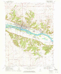 1970 Marseilles1972 Print · USGSMarseilles stood as a vital river and rail hub in the early seventies, dominated by the Illinois River corridor and its industrial infrastructure. Genealogists can trace family names through numerous rural sites like Riverview Cem, Galloway Cem, and Parkview Ch.3 unique versions available
 - 1970 Map of Seneca, 1972 Print
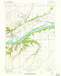 1970 Seneca1972 Print · USGSThe Seneca riverfront and its industrial corridor are captured here during the 1970s. Researchers can trace the path of the Illinois and Michigan Canal (Abandoned) and locate the U.S. Govt Reservation and the village of Langham.2 unique versions available
 - 1985 Map of Ottawa
 1985 Ottawa1985 Print · USGSThe Illinois River valley in the mid-1980s shows a landscape balancing river commerce with sprawling energy and mining operations. Researchers can trace the layout of mining towns like Coal City or find family landmarks such as Oakwood Memorial Cem and Smiths Mound.
 - 1991 Map of Ottawa
 1991 Ottawa1991 Print · USGSNorth-central Illinois in the early nineties remains a vital corridor of river commerce and heavy rail. Genealogists and historians can trace the legacy of industrial mining near Morris or explore the river-bluff geography of Starved Rock State Park and Buffalo Rock.
 - 1994 Map of Marseilles
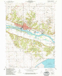 1994 Marseilles1994 Print · USGSMarseilles and the Illinois River valley are shown in the mid-1990s as a hub of state infrastructure and local history. Genealogists can locate several family burial sites like Old Brumbach Cem and Galloway Cem near the abandoned Illinois and Michigan Canal.
 - 2012 Map of Seneca, 2012 Print
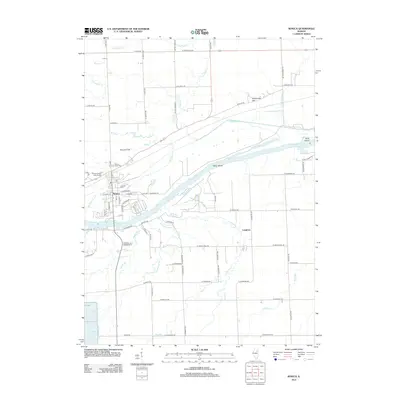 2012 Seneca2012 Print · USGSIn the early twenty-first century, Seneca remains a pivotal river town along the Illinois River. Genealogists and local historians can trace family locations at Mount Calvary Catholic Cem or follow the paths of unique waterways like Deadly Run and Rat Run.
 - 2012 Map of Marseilles, 2012 Print
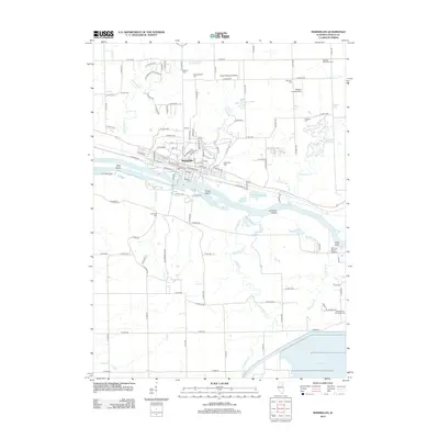 2012 Marseilles2012 Print · USGSMarseilles and the surrounding LaSalle County countryside are captured here during the early twenty-first century, centered on the river-and-rail corridor. Researchers can trace numerous burial sites like Riverview Cem or locate regional landmarks such as Illini State Park and the Spring Brook Marina.
 - 2015 Map of Seneca, 2015 Print
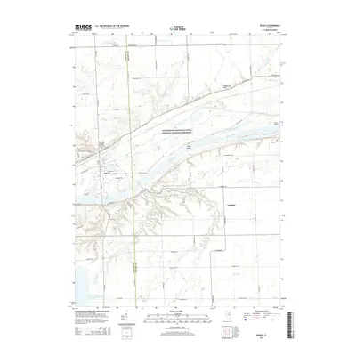 2015 Seneca2015 Print · USGSNorth-central Illinois in the mid-2010s shows a landscape shaped by both historic transport and modern power. Genealogists and local historians can trace the streets of Seneca and find landmarks like Mount Hope Cem or follow the path of the historic Illinois and Michigan Canal.
 - 2015 Map of Marseilles, 2015 Print
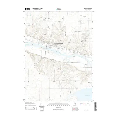 2015 Marseilles2015 Print · USGSMarseilles and Seneca line the river in 2015 as the regional economy is defined by the legacy of the canal and the modern cooling pond. Genealogists can locate several cemeteries like Galloway Cem and Shaver Cem alongside landmarks such as Brookfield Spring.
 - 2018 Map of Marseilles, 2018 Print
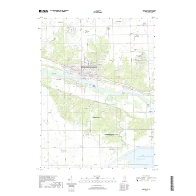 2018 Marseilles2018 Print · USGSMarseilles and the surrounding LaSalle County river valley are shown here in the late twenty-tens, highlighting the area's industrial and maritime roots. Trace family history at Galloway Cem or explore the Marseilles Canal and the CSX rail lines.
 - 2018 Map of Seneca, 2018 Print
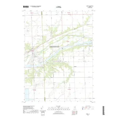 2018 Seneca2018 Print · USGSCrossing the border of LaSalle and Grundy counties in the late 2010s, this survey shows the enduring geography of the Illinois River corridor. Researchers can trace local lineage at Mount Calvary Catholic Cem or examine the industrial footprint of the LaSalle County Nuclear Station Cooling Pond.
 - 2021 Map of Seneca, 2021 Print
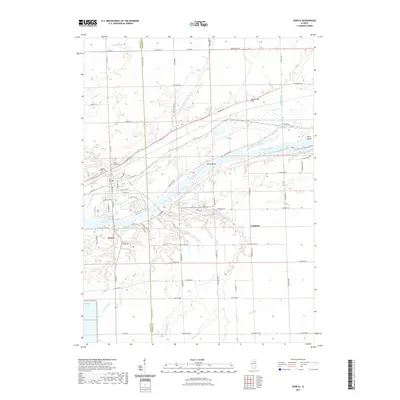 2021 Seneca2021 Print · USGSThe Illinois River valley near Seneca is documented here in the early 2020s, showing the intersection of river, rail, and canal history. Researchers can trace family plots at Mount Calvary Cem or locate the rural tracks of Langham and Holderman Hill.
 - 2021 Map of Marseilles, 2021 Print
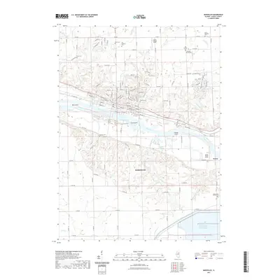 2021 Marseilles2021 Print · USGSMarseilles and the Illinois River valley are shown here in the 2020s, highlighting a landscape shaped by river navigation and nuclear power. Trace family history at Riverview Cemetery or Galloway Cemetery and explore the industrial corridor of the Marseilles Canal.
 - 2024 Map of Marseilles, 2024 Print
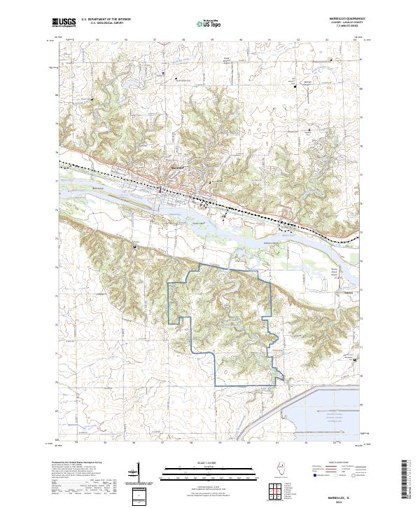 2024 Marseilles2024 Print · USGSCentered on the Illinois River valley in the early twenty-first century, this map shows the critical junction of river navigation and military training. Genealogists can locate family sites like Shaver Cem or trace the industrial borders of the NG Marseilles training area.
 - 2024 Map of Seneca, 2024 Print
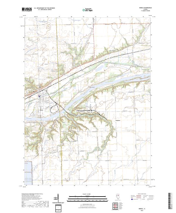 2024 Seneca2024 Print · USGSThe river and canal corridor at the LaSalle-Grundy border is shown here in its modern context. Researchers can trace the path of the historic I & M Canal through Seneca and locate landmarks like Mount Calvary Cem and Langham.
End of results
Showing maps 1-20 of 20
Top cities near Seneca
- Joliet historical maps
- Channahon historical maps
- Streator historical maps
- Morris historical maps
- Saratoga historical maps
- Marseilles historical maps
See more
Frequently asked questions
- What are the different types of historical maps available for Seneca?
- What is the oldest map of Seneca?
- Where can I purchase historical maps of Seneca for my home or office?
- Where can I download high-res historical maps of Seneca?
- Are there historical topographic maps available for Seneca?
- Is there historical aerial imagery available for Seneca?
- Where are historical maps of Seneca sourced from?