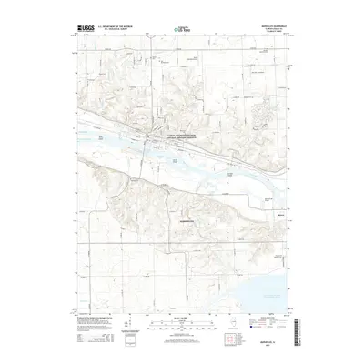
2015 Map of Marseilles
USGS Topo · Published 2015About this map
The Illinois River corridor near Marseilles and Seneca is dominated by the complex engineering of the Illinois and Michigan Canal National Heritage Corridor. This survey illustrates the heavy industrial and transport infrastructure of the region, including the Marseilles Canal and the CSX rail line that follows the river's path. In the north, the terrain transitions from the river valley to agricultural uplands, dotted with small family and community burial grounds such as Old Brumbach Cem and Manlius Methodist Cem.
Find a feature on this map
100 named features on this map. Tap any name to fly to it.
Don’t see what you’re looking for? This feature index may not catch every label — zoom into the map to look around manually.
Map Details
Editions of this 2015 Marseilles Map
This is the sole edition of this map. No revisions or reprints were ever made.
Other maps of this area

1892 · Marseilles
USGS Topo · 1:62,500

1892 · Ottawa
USGS Topo · 1:62,500

1915 · Ottawa
USGS Topo · 1:62,500

1916 · Marseilles
USGS Topo · 1:62,500

1925 · Streator
USGS Topo · 1:62,500

1927 · Streator
USGS Topo · 1:62,500

1940 · Marseilles
USGS Topo · 1:62,500

1946 · Ottawa
USGS Topo · 1:62,500

1958 · Odell
USGS Topo · 1:62,500

1958 · Aurora
USGS Topo · 1:250,000