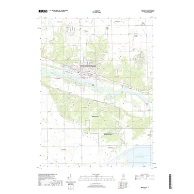
2018 Map of Marseilles
USGS Topo · Published 2018About this map
The Illinois River serves as the central artery for this LaSalle County landscape, where the Illinois and Michigan Canal National Heritage Corridor preserves the legacy of nineteenth-century transportation. The city of Marseilles is defined by its industrial and hydraulic infrastructure, including the Marseilles Canal and the crossing of the CSX railroad. These transit corridors are flanked by significant natural features like Bells Island and Wildcat Bog, illustrating the complex relationship between regional development and the riverine environment.
Find a feature on this map
127 named features on this map. Tap any name to fly to it.
Don’t see what you’re looking for? This feature index may not catch every label — zoom into the map to look around manually.
Map Details
Editions of this 2018 Marseilles Map
This is the sole edition of this map. No revisions or reprints were ever made.
Other maps of this area

1892 · Marseilles
USGS Topo · 1:62,500

1892 · Ottawa
USGS Topo · 1:62,500

1915 · Ottawa
USGS Topo · 1:62,500

1916 · Marseilles
USGS Topo · 1:62,500

1925 · Streator
USGS Topo · 1:62,500

1927 · Streator
USGS Topo · 1:62,500

1940 · Marseilles
USGS Topo · 1:62,500

1946 · Ottawa
USGS Topo · 1:62,500

1958 · Odell
USGS Topo · 1:62,500

1958 · Aurora
USGS Topo · 1:250,000