2020s Maps of Warren County, Illinois
Explore 32 historic maps of Warren County from the 2020s. These maps offer a rare glimpse into what life looked like during the 2020s — showing old roads, neighborhoods, homes, and landmarks that have changed or disappeared over time.
Whether you're researching your family's past, planning a metal detecting trip, or studying how Warren County's landscape evolved across the 2020s, these high-resolution maps are a powerful tool for exploring the history of this region.
- Focus on a specific era: All maps on this page are from the 2020s, giving you a focused view of this time period.
- See what’s changed: Compare century-old streets, trails, and buildings to today's modern landscape using overlays and satellite layers.
- Research with precision: Use these maps for genealogy, historical research, land use analysis, or educational projects.
- View, download, or print: Maps are fully viewable online in high resolution, and can be downloaded or printed for your own records.
Start exploring Warren County's history through authentic maps from the 2020s. This is your window into the past.
Warren County, IL maps
(32)- 2021 Map of Greenbush, 2021 Print
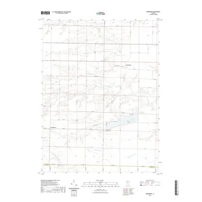 2021 Greenbush2021 Print · USGSCovers Warren County, including Greenbush, Youngstown, and other nearby areas
 - 2021 Map of Avon, 2021 Print
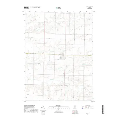
 2021 Avon2021 Print · USGSCovers Warren County, including Avon, Prairie City, and other nearby areas
 - 2021 Map of Roseville, 2021 Print
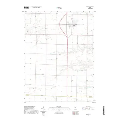 2021 Roseville2021 Print · USGSCovers Warren County, including Roseville, Swan Creek, and other nearby areas
 - 2021 Map of Galesburg West, 2021 Print
 2021 Galesburg West2021 Print · USGSCovers Warren County, including Galesburg, Surrey, and other nearby areas
 - 2021 Map of Rozetta, 2021 Print
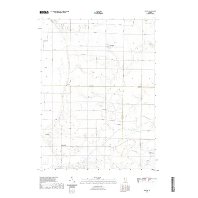
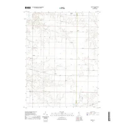 2021 Rozetta2021 Print · USGSCovers Warren County, including Rozetta, Reeds, and other nearby areas
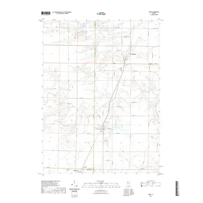
 - 2021 Map of Monmouth, 2021 Print
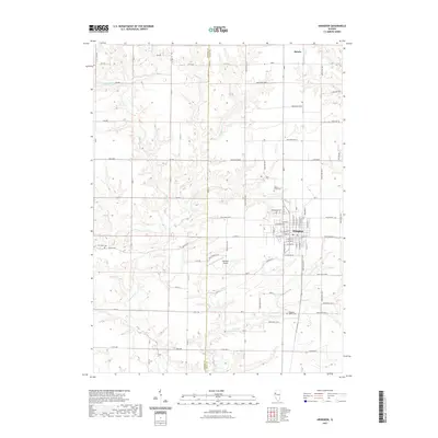
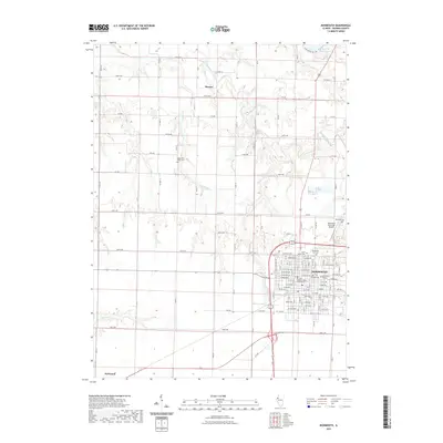 2021 Monmouth2021 Print · USGSCovers Warren County, including Monmouth, Kirkwood, and other nearby areas
 - 2021 Map of North Henderson, 2021 Print
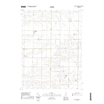 2021 North Henderson2021 Print · USGSCovers Warren County, including Rio, North Henderson, and other nearby areas
 - 2021 Map of Little York, 2021 Print
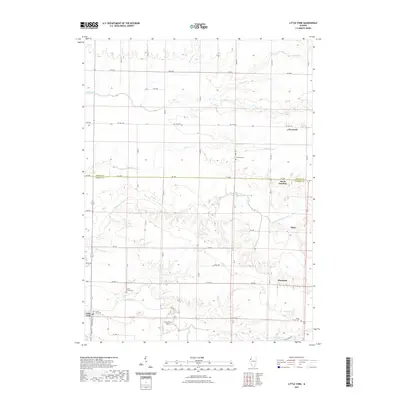 2021 Little York2021 Print · USGSCovers Warren County, including Little York, Shaw, and other nearby areas
 - 2021 Map of Berwick, 2021 Print
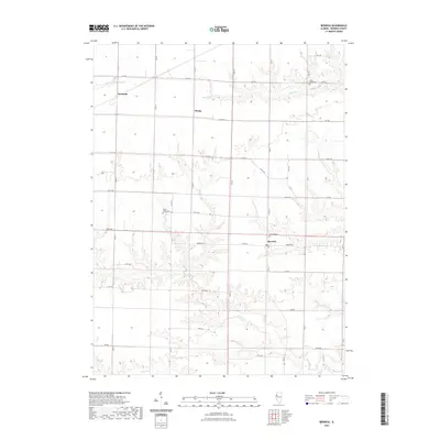 2021 Berwick2021 Print · USGSCovers Warren County, including Berwick, Ormonde, and other nearby areas
 - 2021 Map of Abingdon, 2021 Print
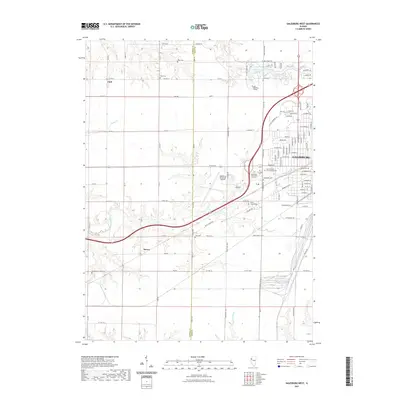
 2021 Abingdon2021 Print · USGSCovers Warren County, including Abingdon, Knox County, and other nearby areas
 - 2021 Map of Kirkwood East, 2021 Print
 2021 Kirkwood East2021 Print · USGSCovers Warren County, including Kirkwood, Larchland, and other nearby areas
 - 2021 Map of Raritan, 2021 Print
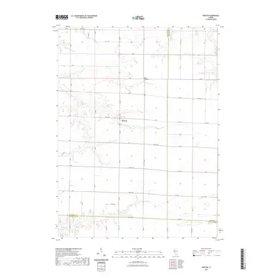 2021 Raritan2021 Print · USGSCovers Warren County, including Raritan, McDonough County, and other nearby areas
 - 2021 Map of Cameron, 2021 Print
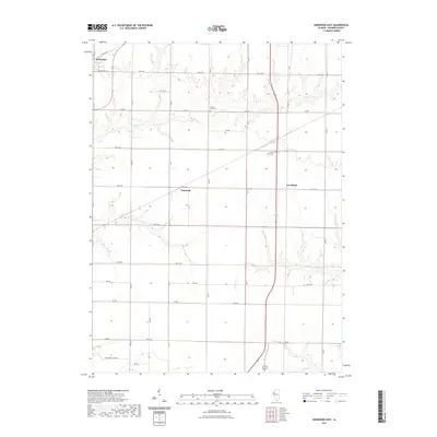
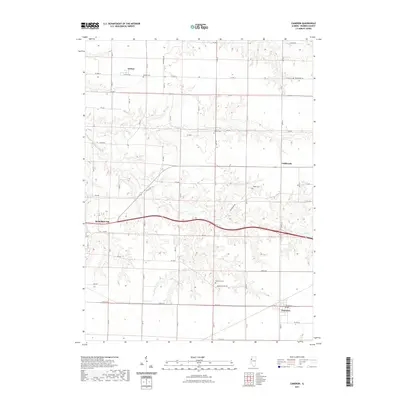 2021 Cameron2021 Print · USGSCovers Warren County, including Monmouth, Coldbrook, and other nearby areas
 - 2021 Map of Kirkwood West, 2021 Print
 2021 Kirkwood West2021 Print · USGSCovers Warren County, including Kirkwood, Biggsville, and other nearby areas
 - 2021 Map of Alexis, 2021 Print
 2021 Alexis2021 Print · USGSCovers Warren County, including Alexis, Mercer County, and other nearby areas
 - 2021 Map of Seaton, 2021 Print
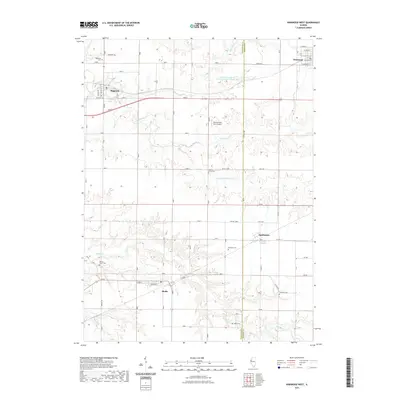
 2021 Seaton2021 Print · USGSCovers Warren County, including Little York, Bald Bluff, and other nearby areas
 - 2024 Map of Seaton, 2024 Print
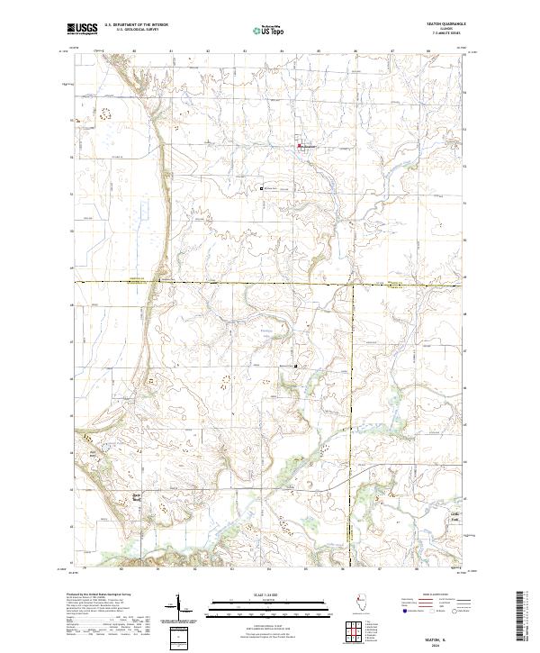 2024 Seaton2024 Print · USGSModern Mercer County reveals its rural roots at this three-county junction near the village of Seaton. Genealogists and historians can trace family locations through Mcclure Cem, Hawkins Cem, and the prominent rise of Bald Bluff.
 - 2024 Map of North Henderson, 2024 Print
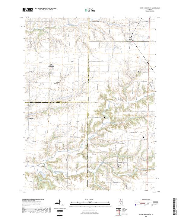 2024 North Henderson2024 Print · USGSThe rural borders of Mercer, Knox, and Warren counties are captured here in the early twenty-first century. Genealogists can locate several historic burial sites, including Deatherage Cem, Rice Blue Cem, and Mount Vernon Cem.
 - 2024 Map of Little York, 2024 Print
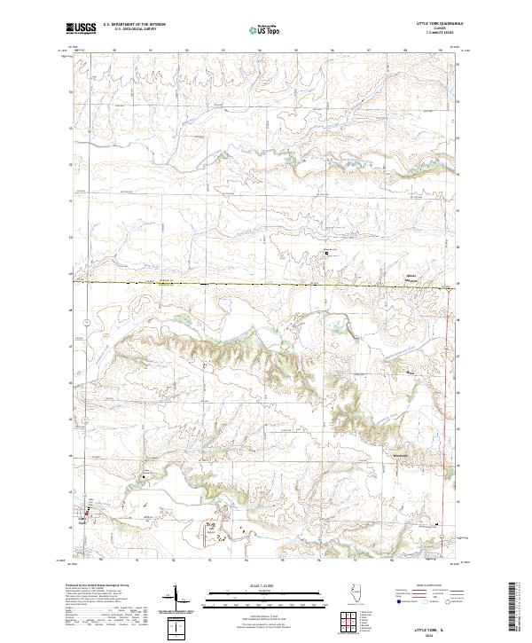 2024 Little York2024 Print · USGSThe Warren County prairie meets the Mercer County line in this contemporary look at the Illinois corn belt. Genealogists can locate legacy burial sites like Spring Grove Cem and Little York Cem or trace the winding course of Henderson Creek.
 - 2024 Map of Alexis, 2024 Print
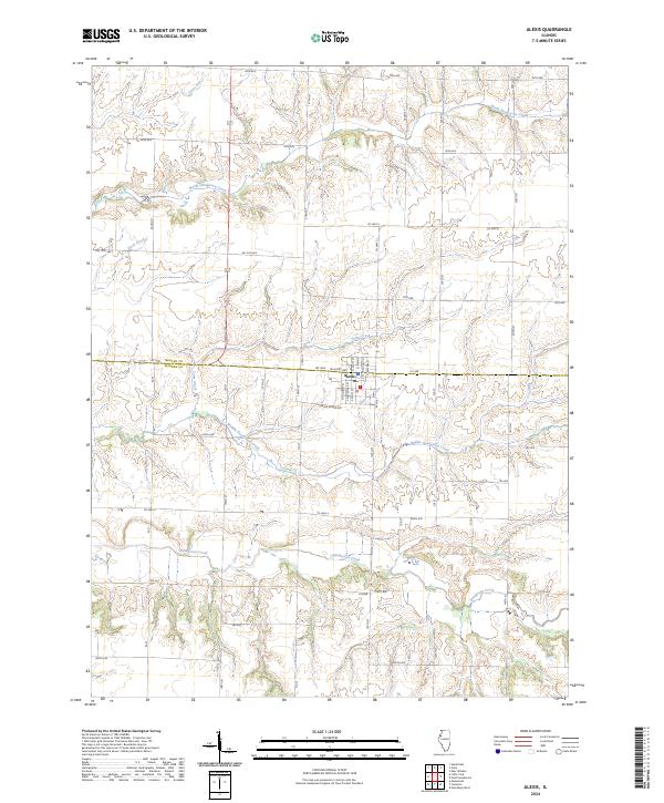 2024 Alexis2024 Print · USGSThe village of Alexis straddles the county line between Mercer and Warren in this contemporary 2024 survey. Local researchers can trace the drainage patterns of North Henderson Creek and the rural road network including Spring Grove Ave.
 - 2024 Map of Raritan, 2024 Print
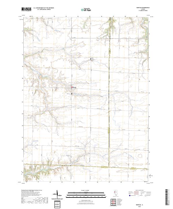 2024 Raritan2024 Print · USGSHenderson County's rural landscape is centered on the village of Raritan in this modern-era survey. Local historians can trace the paths of Honey Creek and the La Moine River alongside local landmarks like Saint Patricks Catholic Cem.
 - 2024 Map of Kirkwood East, 2024 Print
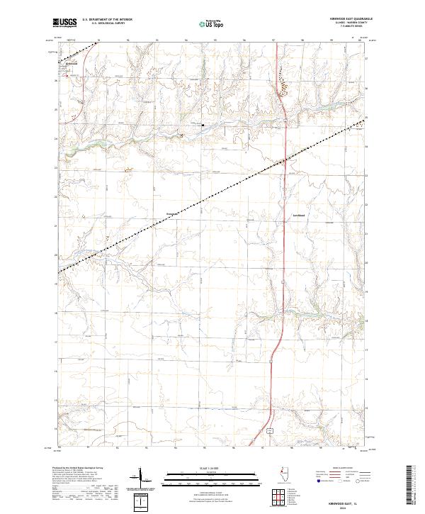 2024 Kirkwood East2024 Print · USGSWarren County’s agricultural heartland is documented here in the 2020s, showing a landscape defined by prairie streams and section roads. Researchers can trace the layout of Kirkwood, locate Hickory Point Cem, and follow the banks of South Henderson Creek.
 - 2024 Map of Rozetta, 2024 Print
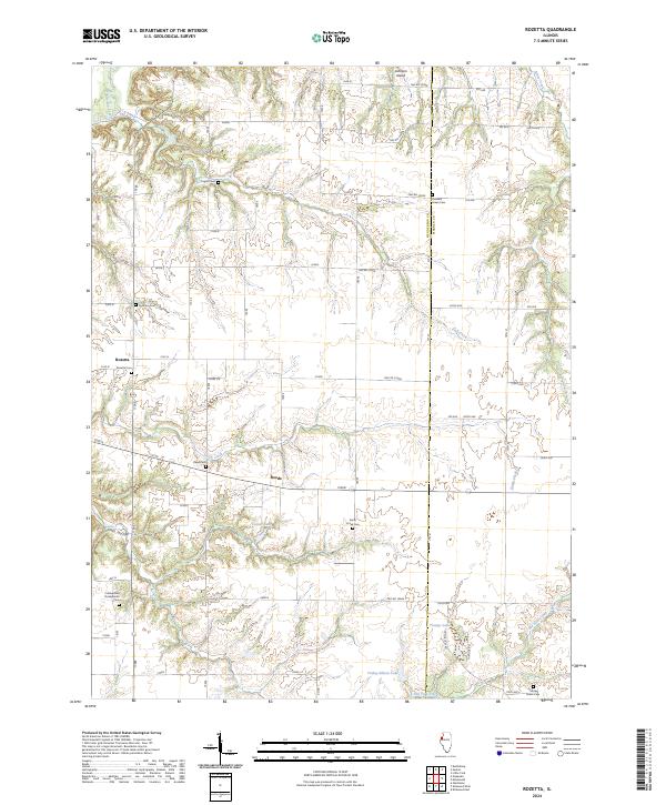 2024 Rozetta2024 Print · USGSHenderson and Warren counties come together in this prairie landscape during the early twenty-first century. Genealogists can locate several family burial sites and rural churchyards, including the Cumberland Presbyterian Cem, Rozetta Cem, and Smith Creek Cem.
 - 2024 Map of Kirkwood West, 2024 Print
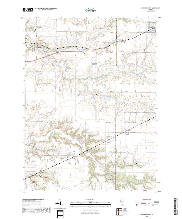 2024 Kirkwood West2024 Print · USGSHenderson County's agricultural heartland is documented here in the early twenty-first century, showing the small towns and prairie drainage patterns. Genealogists can locate family landmarks like Davidson Cem, Adair Cem, and the rural airstrip at Beulah Land Farm Airport.
 - 2024 Map of Monmouth, 2024 Print
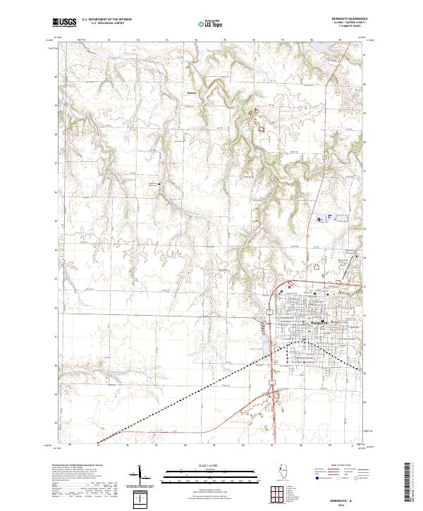 2024 Monmouth2024 Print · USGSWestern Illinois farmland and the college town of Monmouth are documented here in recent detail. Genealogists and local historians can trace family plots at Saint Marys Cem or locate the Warren County Courthouse and Monmouth College.
Showing maps 1-25 of 32
Top cities of Warren County
- Monmouth historical maps
- Roseville historical maps
- Kirkwood historical maps
- Greenbush historical maps
- Coldbrook historical maps
- Berwick historical maps
See more
Frequently asked questions
- What are the different types of historical maps available for Warren County?
- What is the oldest map of Warren County?
- Where can I purchase historical maps of Warren County for my home or office?
- Where can I download high-res historical maps of Warren County?
- Are there historical topographic maps available for Warren County?
- Is there historical aerial imagery available for Warren County?
- Where are historical maps of Warren County sourced from?