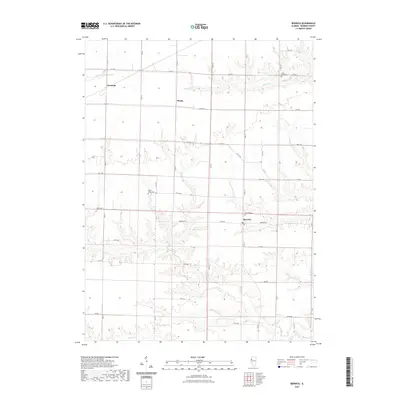
2021 Map of Berwick
USGS Topo · Published 2021About this map
Berwick stands as a primary hub within this agricultural portion of Warren County, where a well-defined grid of section roads and county routes facilitates local transit. The landscape is deeply carved by several waterways, including Cedar Cr and Slug Run, which create winding drainage patterns that break the regularity of the surrounding farm plots. Genealogy researchers can find several historic burial sites distributed across the township, such as Silent Home Cem in the northeast and Lenox Union Cem further west near 125th Ave. Small rural clusters like Ormonde and Phelps represent the scattered nature of early 21st-century settlement in this region, while the network of gravel and paved roads like Berwick Rd and Co Hwy 6 reveals the enduring connectivity of these prairie communities.
Find a feature on this map
46 named features on this map. Tap any name to fly to it.
Don’t see what you’re looking for? This feature index may not catch every label — zoom into the map to look around manually.
Map Details
Editions of this 2021 Berwick Map
This is the sole edition of this map. No revisions or reprints were ever made.
Other maps of this area

1915 · Avon
USGS Topo · 1:62,500

1916 · Good Hope
USGS Topo · 1:62,500

1918 · Good Hope
USGS Topo · 1:62,500

1921 · Monmouth
USGS Topo · 1:62,500

1923 · Monmouth
USGS Topo · 1:62,500

1925 · Galesburg
USGS Topo · 1:62,500

1927 · Galesburg
USGS Topo · 1:62,500

1944 · Avon
USGS Topo · 1:62,500

1958 · Burlington
USGS Topo · 1:250,000

1961 · Burlington
USGS Topo · 1:250,000