Old Maps of Kirkwood, Illinois for Metal Detecting
Plan your next treasure hunt with 30 historic maps of Kirkwood. Find old homesites, ghost towns, trails, and gathering spots that may be lost to time — perfect for identifying promising metal detecting locations.
- Locate forgotten sites: Uncover places like long-lost settlements, abandoned rail lines, or gathering spots.
- Plan better hunts: Use map overlays combined with LiDAR or satellite views to narrow in on historically rich areas.
- Made for detectorists: Thousands of hobbyists use these maps to discover relics, coins, and hidden history.
Use these historic maps to boost your research and find new opportunities beneath the surface of Kirkwood.
Kirkwood, IL maps
(30)- 1921 Map of Monmouth, 1961 Print
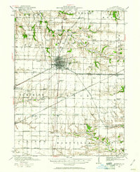 1921 Monmouth1961 Print · USGSWarren County at the opening of the 1920s reveals a bustling agricultural landscape centered on the rail hub of Monmouth. Genealogists and historians can trace dozens of country schools and vanished locales like Coonville, Farmers Academy, and the County Farm.3 unique versions available
 - 1923 Map of Monmouth
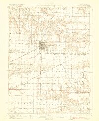 1923 Monmouth1923 Print · USGSWarren County in the early twenties was a thriving prairie landscape defined by its dense network of rural schools and rail junctions. Researchers can trace dozens of early educational sites like Hickory College and Scotchtown School or locate the historic COUNTY FARM near the hub of Monmouth.2 unique versions available
 - 1934 Map of Oquawka
 1934 Oquawka1934 Print · USGSHenderson County river life and prairie farming are captured here in the mid-thirties, from the Mississippi sloughs to the railroad towns. Genealogists can locate family landmarks including the County Farm, Coghill Cem, and the Little Brick Sch.3 unique versions available
 - 1940 Map of Oquawka
 1940 Oquawka1940 Print · USGSHenderson County's river-and-rail economy is captured here during the 1930s as the Mississippi River environment meets an expanding network of rural towns. Genealogists and historians can trace dozens of country schoolhouses and cemeteries, from the Little Brick Sch to South Henderson Cem.2 unique versions available
 - 1958 Map of Burlington, 1968 Print
 1958 Burlington1968 Print · USGSThe tri-state river country of Iowa, Illinois, and Missouri is captured here in the mid-fifties, dominated by the Mississippi River and major rail lines. Genealogists and historians can trace the development of river towns like Keokuk or locate the sprawling Iowa Army Ammunition Plant.4 unique versions available
 - 1961 Map of Burlington
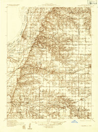
 1961 Burlington1961 Print · USGSThe tri-state borderlands along the Mississippi River are captured here during the late fifties and early sixties, showing the vital river-and-rail economy of Iowa, Illinois, and Missouri. Genealogists and historians can trace the development of major hubs like Galesburg and Macomb alongside landmark sites such as the Iowa Ordnance Plant and the historic river town of Nauvoo.
 - 1963 Map of Burlington
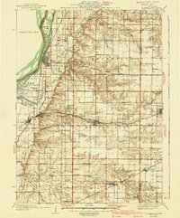
 1963 Burlington1963 Print · USGSThe tri-state river country of the Mississippi and Illinois valleys comes alive in this mid-century survey. Genealogists and historians can trace the industrial and academic growth of the region, from the Iowa Ordnance Plant to campuses like Knox College and Western Illinois University.
 - 1982 Map of Kirkwood West, 1983 Print
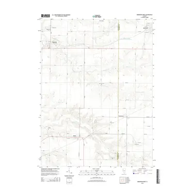
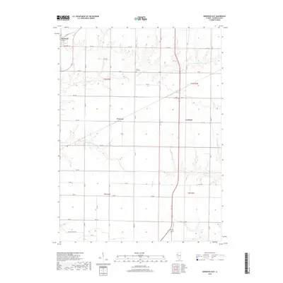
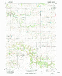 1982 Kirkwood West1983 Print · USGSHenderson and Warren Counties are seen here in the early eighties as the railroads supported a network of grain-handling prairie towns. Genealogists can locate family sites at Salters Grove Cem, Adair Cem, and Township Cem near the village of Media.
 - 1982 Map of Kirkwood East, 1983 Print
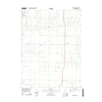
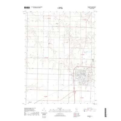
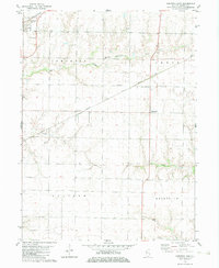 1982 Kirkwood East1983 Print · USGSWarren County farmland shows its late-century agricultural and rail character in the early eighties. Genealogists can locate Hickory Point Cem and County Farm Cem or trace the routes of the Burlington Northern through Kirkwood.
 - 1982 Map of Monmouth, 1983 Print
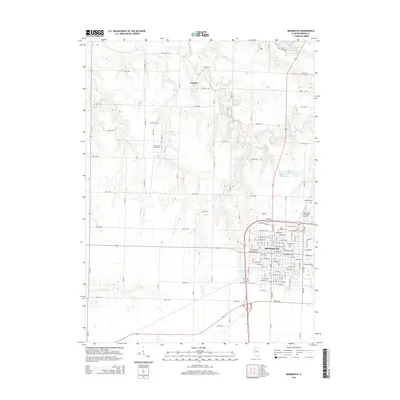
 1982 Monmouth1983 Print · USGSMonmouth and its surrounding townships are shown in the early eighties as the town grew around Monmouth College. Genealogists can trace family roots at St Marys Cem or Sugar Tree Grove Cem, while the Burlington Northern line defines the local rail economy.
 - 1985 Map of Galesburg, 1986 Print
 1985 Galesburg1986 Print · USGSWestern Illinois in the mid-eighties was a landscape of riverfront forests and industrial rail hubs. Genealogists and historians can trace the growth of Galesburg and Monmouth alongside rural landmarks like Stronghurst and the coal operations of the Strip Mine near Canton.2 unique versions available
 - 1989 Map of Galesburg
 1989 Galesburg1989 Print · USGSWestern Illinois in the late eighties reveals a landscape of industrial rail hubs and riverfront timberland. Genealogists and historians can trace the routes of the Atchison Topeka and Santa Fe RR through small towns like Stronghurst, London Mills, and Middle Grove (Middlepoint).
 - 1990 Map of Burlington
 1990 Burlington1990 Print · USGSThe tri-state confluence of Iowa, Illinois, and Missouri is mapped here at the end of the twentieth century. Genealogists and historians can trace the riverfront heritage of Burlington, Keokuk, and Fort Madison, or locate sites like the Battle of Athens State Historic Site.2 unique versions available
 - 1998 Map of Monmouth, 2000 Print
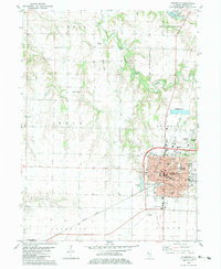
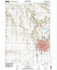 1998 Monmouth2000 Print · USGSWarren County at the close of the millennium centers on the thriving college town of Monmouth. Genealogists and local historians can trace the town's expansion toward Citizens Lake and locate rural landmarks like St Marys Cem or the Yorkwood High Sch.
 - 1998 Map of Kirkwood East, 2000 Print
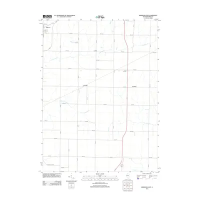
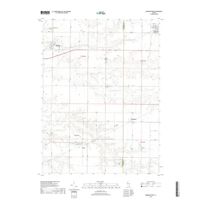
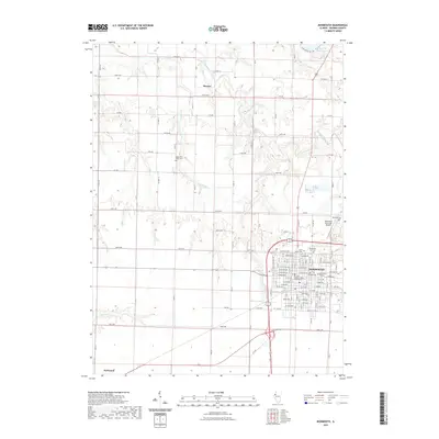
 1998 Kirkwood East2000 Print · USGSWarren County in the late 1990s reveals a quiet agricultural landscape shaped by the branching waters of South Fork Henderson Creek. Genealogists and local historians can trace family locations near Kirkwood, the Hickory Point Cem, and the small settlement of Ponemah.
 - 2012 Map of Kirkwood West, 2012 Print
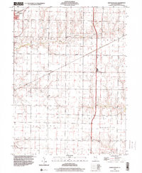
 2012 Kirkwood West2012 Print · USGSCovers Kirkwood, including Biggsville, Media, and other nearby areas
 - 2012 Map of Kirkwood East, 2012 Print
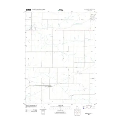
 2012 Kirkwood East2012 Print · USGSCovers Kirkwood, including Larchland, Ponemah, and other nearby areas
 - 2012 Map of Monmouth, 2012 Print
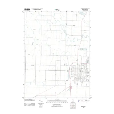 2012 Monmouth2012 Print · USGSCovers Kirkwood, including Monmouth, Eleanor, and other nearby areas
 - 2015 Map of Kirkwood West, 2015 Print
 2015 Kirkwood West2015 Print · USGSCovers Kirkwood, including Biggsville, Media, and other nearby areas
 - 2015 Map of Monmouth, 2015 Print
 2015 Monmouth2015 Print · USGSCovers Kirkwood, including Monmouth, Eleanor, and other nearby areas
 - 2015 Map of Kirkwood East, 2015 Print
 2015 Kirkwood East2015 Print · USGSCovers Kirkwood, including Larchland, Ponemah, and other nearby areas
 - 2018 Map of Kirkwood West, 2018 Print
 2018 Kirkwood West2018 Print · USGSCovers Kirkwood, including Biggsville, Media, and other nearby areas
 - 2018 Map of Kirkwood East, 2018 Print
 2018 Kirkwood East2018 Print · USGSCovers Kirkwood, including Larchland, Ponemah, and other nearby areas
 - 2018 Map of Monmouth, 2018 Print
 2018 Monmouth2018 Print · USGSCovers Kirkwood, including Monmouth, Eleanor, and other nearby areas
 - 2021 Map of Monmouth, 2021 Print
 2021 Monmouth2021 Print · USGSCovers Kirkwood, including Monmouth, Eleanor, and other nearby areas
Showing maps 1-25 of 30
Top cities near Kirkwood
- Monmouth historical maps
- Oquawka historical maps
- Roseville historical maps
- Stronghurst historical maps
- Keithsburg historical maps
- Greenbush historical maps
See more
Frequently asked questions
- What are the different types of historical maps available for Kirkwood?
- What is the oldest map of Kirkwood?
- Where can I purchase historical maps of Kirkwood for my home or office?
- Where can I download high-res historical maps of Kirkwood?
- Are there historical topographic maps available for Kirkwood?
- Is there historical aerial imagery available for Kirkwood?
- Where are historical maps of Kirkwood sourced from?