Old Maps of Fairfield, Illinois for Hiking & Exploration
Hike through history with 28 historic maps of Fairfield. Explore old trails, ghost towns, and forgotten backroads — perfect for outdoor adventurers and local explorers.
- Rediscover forgotten places: Map out old mining camps, roads, and footpaths that no longer exist on modern maps.
- Layer with modern tools: Combine with LiDAR or satellite views to plan hikes through historical terrain.
- Made for exploration: Popular among hikers, overlanders, and local history lovers.
Use these maps to find adventure and explore the hidden past of Fairfield.
Fairfield, IL maps
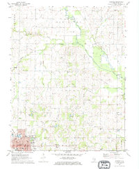
(28)- 1948 Map of Fairfield
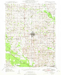 1948 Fairfield1948 Print · USGSWayne County is captured in the late 1940s as a thriving network of small rail towns and rural school districts. Genealogists and historians can trace family locations near Pure Gold Sch, the Crews Cem, or the rail junction at Fairfield.2 unique versions available
 - 1958 Map of Belleville, 1973 Print
 1958 Belleville1973 Print · USGSSouthern Illinois during the mid-twentieth century reveals a landscape of industrial growth and massive new reservoirs. Genealogists and historians can trace the paths of the Illinois Central RR through towns like Centralia or locate landmarks such as Emerald Mound and the Looking Glass Prairie.3 unique versions available
 - 1962 Map of Belleville
 1962 Belleville1962 Print · USGSSouthern Illinois in the late fifties reveals a landscape of industrial growth and ancient landmarks before the full expansion of the interstate system. Genealogists can trace family names and rural post offices near Centralia, Salem, and the historic Monks Mound.
 - 1970 Map of Geff, 1973 Print
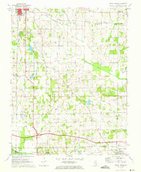
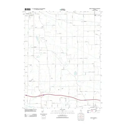
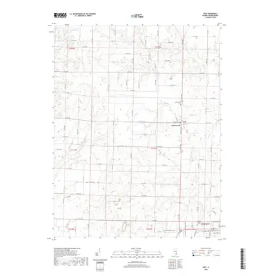
 1970 Geff1973 Print · USGSWayne County oil production and rural settlement meet in the early seventies, centered on the community of Geff. Genealogists can locate family landmarks like Young Cem and Oak Valley Ch amidst the active Clay City Oil Field.
 - 1971 Map of Boyleston, 1973 Print
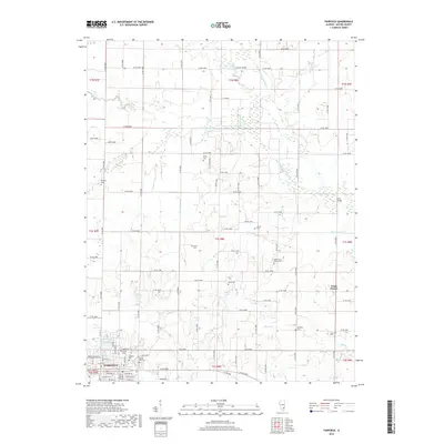
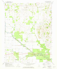 1971 Boyleston1973 Print · USGSSouthern Illinois farming and drainage systems are in full view here in the early 1970s. Genealogists and historians can trace family burial sites like Clark Cem, rural schools like Boyleston Sch, and the winding path of the Skillet Fork.
 - 1971 Map of Burnt Prairie, 1973 Print
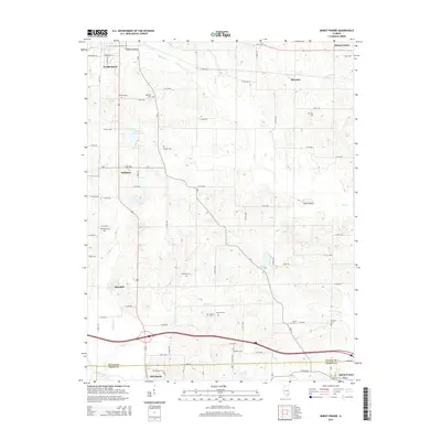
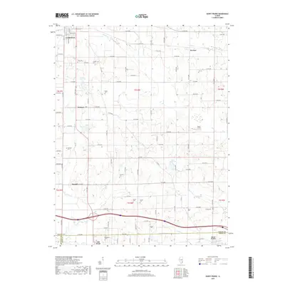
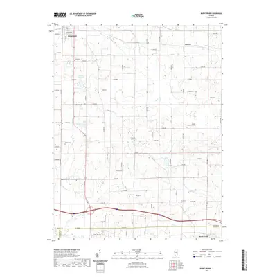
 1971 Burnt Prairie1973 Print · USGSSoutheastern Illinois reveals a landscape of active petroleum extraction and family homesteads in the early seventies. Genealogists and historians can trace numerous rural burial grounds like Koontz Cem and Gifford Cem alongside the heavy rail presence of the Baltimore and Ohio RR.
 - 1971 Map of Fairfield, 1973 Print
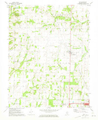
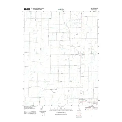
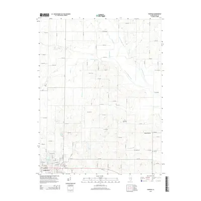
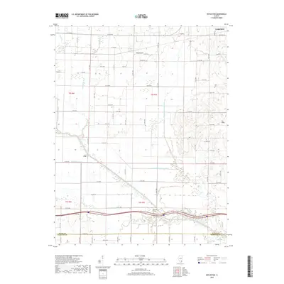
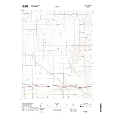
 1971 Fairfield1973 Print · USGSFairfield and the surrounding Illinois prairie are captured here in the early seventies during a period of steady industrial and agricultural activity. Genealogists can trace family names through numerous rural landmarks like North Toms Prairie Ch, Hearn Cem, and Butler Bridge.
 - 1982 Map of Mount Vernon
 1982 Mount Vernon1982 Print · USGSSouthern Illinois and Southwestern Indiana meet here during a period of significant regional water management and transit growth. Researchers can trace the development of Rend Lake and locate vanished rail stops along the Southern RR near Bluford and Golden Gate.
 - 2012 Map of Geff, 2012 Print
 2012 Geff2012 Print · USGSCovers Fairfield, including Covington, Indian Prairie Township, and other nearby areas
 - 2012 Map of Fairfield, 2012 Print
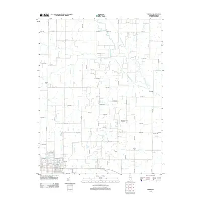 2012 Fairfield2012 Print · USGSCovers Fairfield, including Toms Prairie, Bedford Township, and other nearby areas
 - 2012 Map of Boyleston, 2012 Print
 2012 Boyleston2012 Print · USGSCovers Fairfield, including Boyleston, Campbell, and other nearby areas
 - 2012 Map of Burnt Prairie, 2012 Print
 2012 Burnt Prairie2012 Print · USGSCovers Fairfield, including Mill Shoals, Barnhill, and other nearby areas
 - 2015 Map of Fairfield, 2015 Print
 2015 Fairfield2015 Print · USGSCovers Fairfield, including Toms Prairie, Bedford Township, and other nearby areas
 - 2015 Map of Burnt Prairie, 2015 Print
 2015 Burnt Prairie2015 Print · USGSCovers Fairfield, including Mill Shoals, Barnhill, and other nearby areas
 - 2015 Map of Geff, 2015 Print
 2015 Geff2015 Print · USGSCovers Fairfield, including Covington, Indian Prairie Township, and other nearby areas
 - 2015 Map of Boyleston, 2015 Print
 2015 Boyleston2015 Print · USGSCovers Fairfield, including Boyleston, Campbell, and other nearby areas
 - 2018 Map of Boyleston, 2018 Print
 2018 Boyleston2018 Print · USGSCovers Fairfield, including Boyleston, Campbell, and other nearby areas
 - 2018 Map of Burnt Prairie, 2018 Print
 2018 Burnt Prairie2018 Print · USGSCovers Fairfield, including Mill Shoals, Barnhill, and other nearby areas
 - 2018 Map of Geff, 2018 Print
 2018 Geff2018 Print · USGSCovers Fairfield, including Covington, Indian Prairie Township, and other nearby areas
 - 2018 Map of Fairfield, 2018 Print
 2018 Fairfield2018 Print · USGSCovers Fairfield, including Toms Prairie, Bedford Township, and other nearby areas
 - 2021 Map of Boyleston, 2021 Print
 2021 Boyleston2021 Print · USGSCovers Fairfield, including Boyleston, Campbell, and other nearby areas
 - 2021 Map of Burnt Prairie, 2021 Print
 2021 Burnt Prairie2021 Print · USGSCovers Fairfield, including Mill Shoals, Barnhill, and other nearby areas
 - 2021 Map of Geff, 2021 Print
 2021 Geff2021 Print · USGSCovers Fairfield, including Covington, Indian Prairie Township, and other nearby areas
 - 2021 Map of Fairfield, 2021 Print
 2021 Fairfield2021 Print · USGSCovers Fairfield, including Toms Prairie, Bedford Township, and other nearby areas
 - 2024 Map of Fairfield, 2024 Print
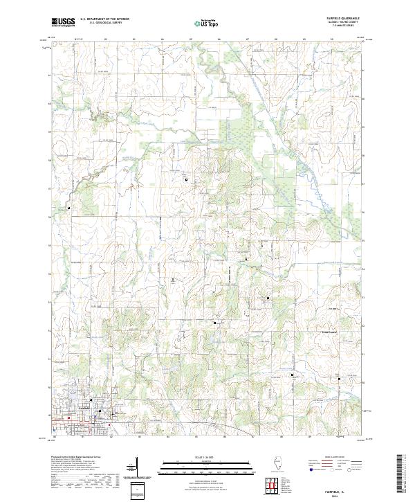 2024 Fairfield2024 Print · USGSFairfield and the surrounding Illinois prairie are documented here in the early twenty-first century, showing a landscape defined by agriculture and drainage. Researchers can locate numerous ancestral burial grounds like Posey Cem and South Toms Prairie Cem, or trace the grounds of the Wayne County Courthouse.
Showing maps 1-25 of 28
Top cities near Fairfield
- Wayne City historical maps
- Mill Shoals historical maps
- Cisne historical maps
- Barnhill historical maps
- Sims historical maps
- Springerton historical maps
See more
Frequently asked questions
- What are the different types of historical maps available for Fairfield?
- What is the oldest map of Fairfield?
- Where can I purchase historical maps of Fairfield for my home or office?
- Where can I download high-res historical maps of Fairfield?
- Are there historical topographic maps available for Fairfield?
- Is there historical aerial imagery available for Fairfield?
- Where are historical maps of Fairfield sourced from?