2020s Maps of Indian Prairie Township, Illinois
Explore 8 historic maps of Indian Prairie Township from the 2020s. These maps offer a rare glimpse into what life looked like during the 2020s — showing old roads, neighborhoods, homes, and landmarks that have changed or disappeared over time.
Whether you're researching your family's past, planning a metal detecting trip, or studying how Indian Prairie Township's landscape evolved across the 2020s, these high-resolution maps are a powerful tool for exploring the history of this region.
- Focus on a specific era: All maps on this page are from the 2020s, giving you a focused view of this time period.
- See what’s changed: Compare century-old streets, trails, and buildings to today's modern landscape using overlays and satellite layers.
- Research with precision: Use these maps for genealogy, historical research, land use analysis, or educational projects.
- View, download, or print: Maps are fully viewable online in high resolution, and can be downloaded or printed for your own records.
Start exploring Indian Prairie Township's history through authentic maps from the 2020s. This is your window into the past.
Indian Prairie Township, IL maps
(8)- 2021 Map of Cisne, 2021 Print
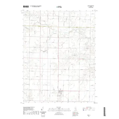 2021 Cisne2021 Print · USGSCovers Indian Prairie Township, including Cisne, Harter Township, and other nearby areas
 - 2021 Map of Johnsonville, 2021 Print
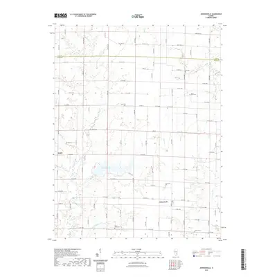 2021 Johnsonville2021 Print · USGSCovers Indian Prairie Township, including Johnsonville, Harter Township, and other nearby areas
 - 2021 Map of Geff, 2021 Print
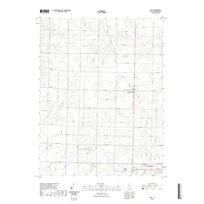 2021 Geff2021 Print · USGSCovers Indian Prairie Township, including Fairfield, Covington, and other nearby areas
 - 2021 Map of Crisp, 2021 Print
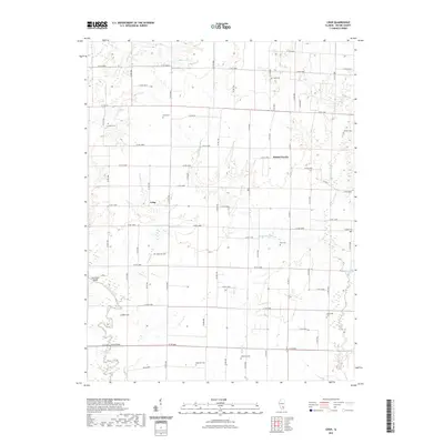 2021 Crisp2021 Print · USGSCovers Indian Prairie Township, including Cincinnati, Crisp, and other nearby areas
 - 2024 Map of Cisne, 2024 Print
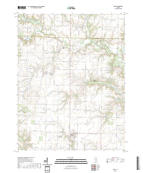 2024 Cisne2024 Print · USGSWayne and Clay Counties at the edge of the Illinois prairie are captured here in high detail. Researchers can locate family roots at Pruitt Cem and Stine Cem or trace the early paths between the village of Cisne and the settlement of Rinard.
 - 2024 Map of Crisp, 2024 Print
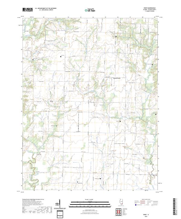 2024 Crisp2024 Print · USGSWayne County’s agricultural heartland is documented here in the early twenty-first century, showing a landscape defined by creek bottoms and family legacies. Genealogists can locate numerous rural burial sites like Anderson Cem and Holloway Cem near the settlement of Crisp.
 - 2024 Map of Geff, 2024 Print
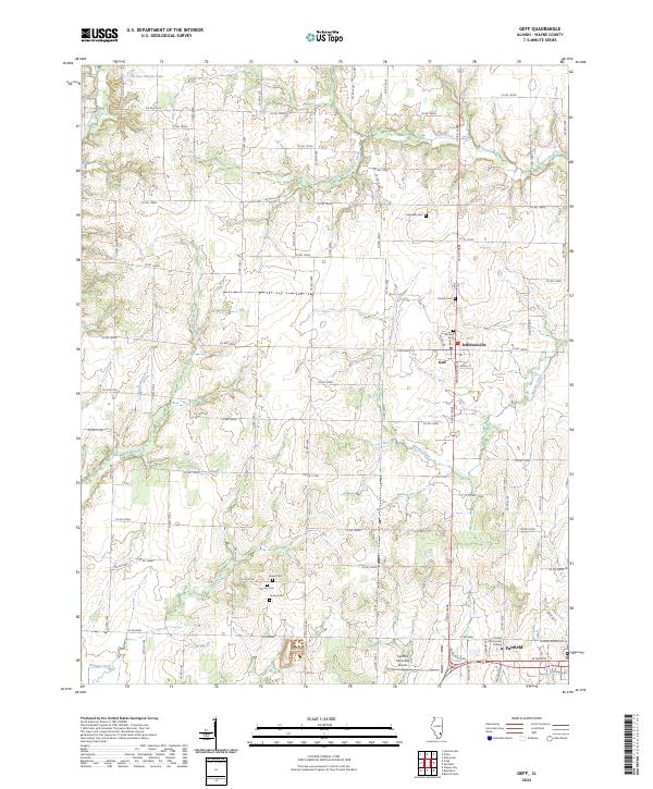 2024 Geff2024 Print · USGSWayne County settlements and rural cemeteries are meticulously documented in this recent survey of the Fairfield area. Researchers can trace local lineage at Bestow Cem and Young Cem or explore the development around Jeffersonville and Geff.
 - 2024 Map of Johnsonville, 2024 Print
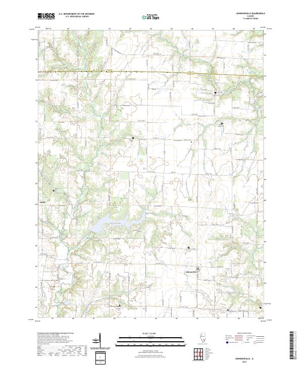 2024 Johnsonville2024 Print · USGSWayne and Clay Counties at the modern day show a landscape of quiet rural intersections and deep-rooted community history. Genealogists can locate family sites like Smyer Old Cem, Harrell Cem, and the waters of Sam Dale Lake near Johnsonville.
End of results
Showing maps 1-8 of 8
Top cities near Indian Prairie Township
- Fairfield historical maps
- Flora historical maps
- Wayne City historical maps
- Clay City historical maps
- Bluford historical maps
- Cisne historical maps
See more
Top neighborhoods of Indian Prairie Township
Frequently asked questions
- What are the different types of historical maps available for Indian Prairie Township?
- What is the oldest map of Indian Prairie Township?
- Where can I purchase historical maps of Indian Prairie Township for my home or office?
- Where can I download high-res historical maps of Indian Prairie Township?
- Are there historical topographic maps available for Indian Prairie Township?
- Is there historical aerial imagery available for Indian Prairie Township?
- Where are historical maps of Indian Prairie Township sourced from?