Old Maps of Indian Prairie Township, Illinois for Academic Research
Study the evolution of Indian Prairie Township with 33 high-resolution historic maps. Whether you're teaching, researching, or modeling changes in land use, these maps provide essential visual documentation of urban, environmental, and geographic change.
- Analyze long-term change: Track patterns in development, transportation, and natural features.
- Ideal for environmental or urban studies: Support academic projects with primary historical map data.
- Use in the classroom or lab: Educators and researchers rely on these maps to bring historical context to life.
These maps are a powerful tool for teaching, research, and visualizing how Indian Prairie Township has changed over the decades.
Indian Prairie Township, IL maps
(33)- 1947 Map of Wayne City
 1947 Wayne City1947 Print · USGSSouthern Illinois in the mid-1940s is captured here at a time when small rural schools and country churches still defined the local geography. Researchers can trace the rail-centered growth of Wayne City and Bluford or locate family sites like Garrison Temple, Thomason Cem, and Berry Sch.3 unique versions available
 - 1948 Map of Fairfield
 1948 Fairfield1948 Print · USGSWayne County is captured in the late 1940s as a thriving network of small rail towns and rural school districts. Genealogists and historians can trace family locations near Pure Gold Sch, the Crews Cem, or the rail junction at Fairfield.2 unique versions available
 - 1948 Map of Flora, 1963 Print
 1948 Flora1963 Print · USGSClay and Wayne counties are shown at their mid-century peak of rural development, centered on the BALTIMORE AND OHIO RR corridor. Local historians can trace dozens of vanished schoolhouses and country churches, from West Seminary Sch to the South Freedom Ch.
 - 1949 Map of Flora
 1949 Flora1949 Print · USGSSouthern Illinois during the late 1940s was a landscape defined by the winding Little Wabash River and the busy Baltimore and Ohio RR. Researchers can trace the cultural roots of the region through dozens of local landmarks like Lathrop Chapel, Long Prairie Sch, and Oil Wells near Cisne.2 unique versions available
 - 1952 Map of Xenia, 1954 Print
 1952 Xenia1954 Print · USGSSouthern Illinois prairie and farmland are captured here in the early fifties, showing the rural crossroads of Clay and Wayne Counties. Researchers can trace dozens of country schools and family landmarks like Henson Cem, Vickrey Sch, and the Baltimore and Ohio rail line.2 unique versions available
 - 1958 Map of Belleville, 1973 Print
 1958 Belleville1973 Print · USGSSouthern Illinois during the mid-twentieth century reveals a landscape of industrial growth and massive new reservoirs. Genealogists and historians can trace the paths of the Illinois Central RR through towns like Centralia or locate landmarks such as Emerald Mound and the Looking Glass Prairie.3 unique versions available
 - 1962 Map of Belleville
 1962 Belleville1962 Print · USGSSouthern Illinois in the late fifties reveals a landscape of industrial growth and ancient landmarks before the full expansion of the interstate system. Genealogists can trace family names and rural post offices near Centralia, Salem, and the historic Monks Mound.
 - 1968 Map of Johnsonville, 1970 Print
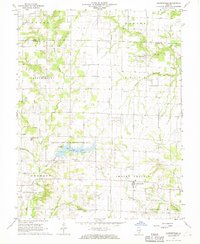 1968 Johnsonville1970 Print · USGSWayne County in the late 1960s reveals a rural landscape dominated by oil production and state conservation efforts. Trace family history at Johnsonville Cem and Wesley Cem or explore the growth of the Johnsonville Oil Field.2 unique versions available
 - 1970 Map of Cisne, 1972 Print
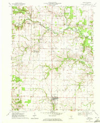 1970 Cisne1972 Print · USGSCisne and the surrounding Wayne County countryside are captured here in the early 1970s, showcasing a landscape where the railroad and oil industry met. Genealogists and local historians can locate several rural burial grounds like Stine Cem and Madden Cem or trace the Baltimore and Ohio rail line past Rinard.
 - 1970 Map of Geff, 1973 Print
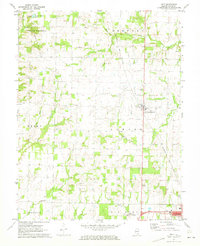 1970 Geff1973 Print · USGSWayne County oil production and rural settlement meet in the early seventies, centered on the community of Geff. Genealogists can locate family landmarks like Young Cem and Oak Valley Ch amidst the active Clay City Oil Field.
 - 1973 Map of Crisp, 1975 Print
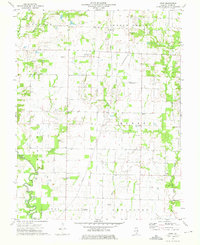 1973 Crisp1975 Print · USGSWayne County farmland and oil fields are captured here in the early seventies, showing a landscape defined by small settlements and family plots. Trace rural roots at Crisp or locate ancestral sites like Anderson Cem and the New Zion Ch.
 - 1982 Map of Mount Vernon
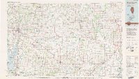 1982 Mount Vernon1982 Print · USGSSouthern Illinois and Southwestern Indiana meet here during a period of significant regional water management and transit growth. Researchers can trace the development of Rend Lake and locate vanished rail stops along the Southern RR near Bluford and Golden Gate.
 - 1986 Map of Olney
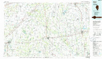 1986 Olney1986 Print · USGSSouth-central Illinois in the mid-eighties shows a landscape of small agricultural towns linked by historic rail lines and prairie preserves. Trace family roots and vanished rail stops near Kinmundy, the Prairie Chicken Sanctuary, and Salem.2 unique versions available
 - 2012 Map of Johnsonville, 2012 Print
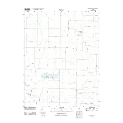 2012 Johnsonville2012 Print · USGSWayne County agriculture and the local oil industry meet in this 2012 survey of the Illinois prairie. Researchers can trace family history through numerous rural landmarks like Wesley Chapel Cem and Bethany Cem, or locate the Zenith North Oil Field.
 - 2012 Map of Cisne, 2012 Print
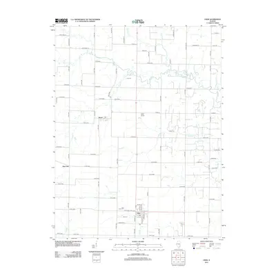 2012 Cisne2012 Print · USGSWayne County is documented here at the start of the 2010s, showcasing the agricultural grid surrounding the village of Cisne. Researchers can locate several legacy burial sites including Stine Cem and Pruitt Cem, or trace the Rinard North Oil Field near Rinard.
 - 2012 Map of Geff, 2012 Print
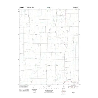 2012 Geff2012 Print · USGSWayne County agricultural land and the settlement of Geff are shown here as they appeared in the early 2010s. Genealogists and local historians can locate several family burial grounds, including Bovee Cem and Jeffersonville Cem, or trace the winding course of Martin Cr.
 - 2012 Map of Crisp, 2012 Print
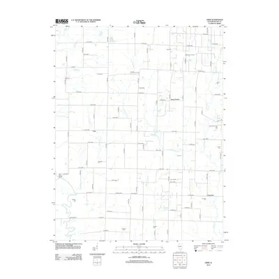 2012 Crisp2012 Print · USGSWayne County, Illinois, is captured here in the early twenty-first century, showing a rural landscape defined by creek bottoms and oil production. Genealogists and local historians can locate several family cemeteries, including Hale Cem and Lappin Cem, near the scattered settlements of Crisp and Cincinnati.
 - 2015 Map of Johnsonville, 2015 Print
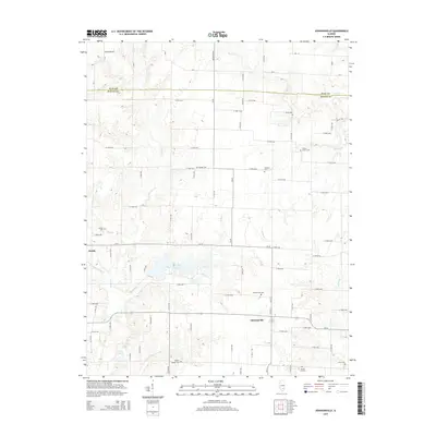 2015 Johnsonville2015 Print · USGSIndian Prairie Township and the surrounding Wayne County countryside are captured here in the mid-2010s. Researchers can trace numerous local burial sites like Johnsonville Cem and Harrell Cem or explore the area around Sam Dale Lake.
 - 2015 Map of Crisp, 2015 Print
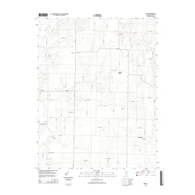 2015 Crisp2015 Print · USGSWayne County, Illinois, is captured here in the mid-2010s, showing a traditional rural landscape defined by the Skillet Fork and Dry Fork bottomlands. Genealogists can locate numerous small burial sites including Cincinnati Cem, Bull Cem, and Hopewell Cem.
 - 2015 Map of Cisne, 2015 Print
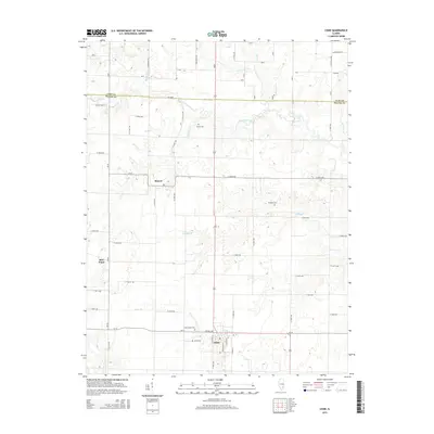 2015 Cisne2015 Print · USGSSouthern Illinois agricultural life in Wayne County is captured here at a time when small rural hubs remained central to the community. Genealogists can locate family burial sites like Cisne Family Cem and Stine Cem or trace the winding course of the Elm River.
 - 2015 Map of Geff, 2015 Print
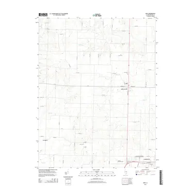 2015 Geff2015 Print · USGSWayne County at the midpoint of the 2010s shows a landscape of steady rural life between the city of Fairfield and the northern creek valleys. Family historians can trace ancestral sites at Cambell Cem, Victory Cem, and the small settlement of Geff.
 - 2018 Map of Johnsonville, 2018 Print
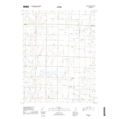 2018 Johnsonville2018 Print · USGSThe crossroads of Johnsonville and Zenith are shown in detail during the late 2010s. Researchers can trace family history through numerous rural burial sites like Wesley Chapel Cem, Smyer Old Cem, and Harrell Cem near Sam Dale Lake.
 - 2018 Map of Cisne, 2018 Print
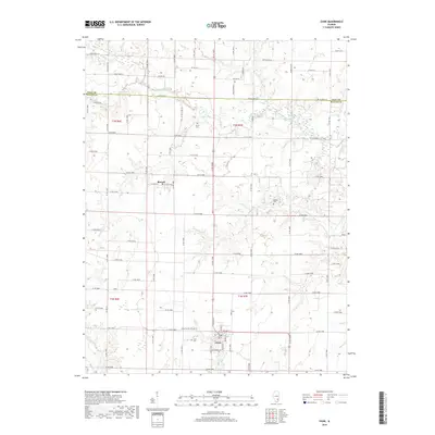 2018 Cisne2018 Print · USGSWayne County agriculture and small-town life are captured here in the late twenty-tens, showing the rural grid surrounding Cisne and Rinard. Genealogists can locate family burial sites like Cisne Family Cem and Pruitt Cem near the banks of the Elm River.
 - 2018 Map of Crisp, 2018 Print
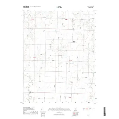 2018 Crisp2018 Print · USGSWayne County, Illinois, is documented here in the late twenty-teens, showing the enduring rural character of its townships. Genealogists and local historians can trace family ties at Cincinnati Cemetery, Bull Cemetery, and the river crossings at Harris Bridge.
 - 2018 Map of Geff, 2018 Print
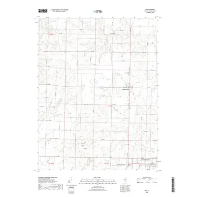 2018 Geff2018 Print · USGSFairfield and the surrounding Wayne County countryside are captured here in the late twenty-tens as the city limits meet the rural grid. Researchers can find ancestral sites at Cambell Cemetery and Victory Cemetery or trace the grounds of Frontier Community College.
Showing maps 1-25 of 33
Top cities near Indian Prairie Township
- Fairfield historical maps
- Flora historical maps
- Wayne City historical maps
- Clay City historical maps
- Bluford historical maps
- Cisne historical maps
See more
Top neighborhoods of Indian Prairie Township
Frequently asked questions
- What are the different types of historical maps available for Indian Prairie Township?
- What is the oldest map of Indian Prairie Township?
- Where can I purchase historical maps of Indian Prairie Township for my home or office?
- Where can I download high-res historical maps of Indian Prairie Township?
- Are there historical topographic maps available for Indian Prairie Township?
- Is there historical aerial imagery available for Indian Prairie Township?
- Where are historical maps of Indian Prairie Township sourced from?