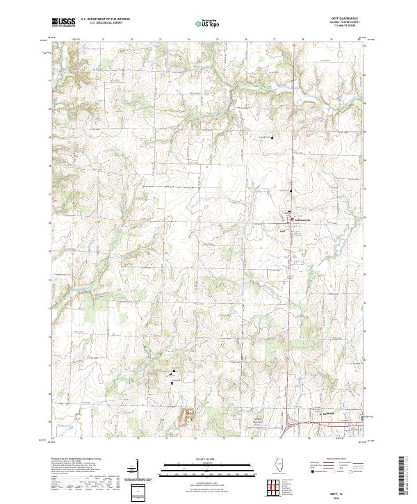
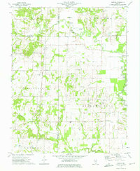
2024 Map of Geff
USGS Topo · Published 2024This historical map portrays the area of Geff in 2024, primarily covering Wayne County. Featuring a scale of 1:24000, this map provides a highly detailed snapshot of the terrain, roads, buildings, counties, and historical landmarks in the Geff region at the time. Published in 2024, it is the sole known edition of this map.
Map Details
Editions of this 2024 Geff Map
This is the sole edition of this map. No revisions or reprints were ever made.
Historical Maps of Indian Prairie Township Through Time
14 maps found
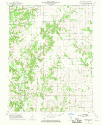
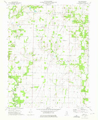
1968 Orchardville
Wayne County, IL
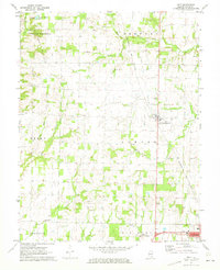
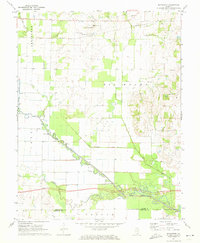
1970 Enterprise
Wayne County, IL
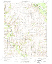
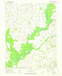
1970 Geff
Wayne County, IL
1971 Albion NW
Wayne County, IL
1971 Boyleston
Wayne County, IL
1973 Crisp
Wayne County, IL
1973 Shields
Wayne County, IL
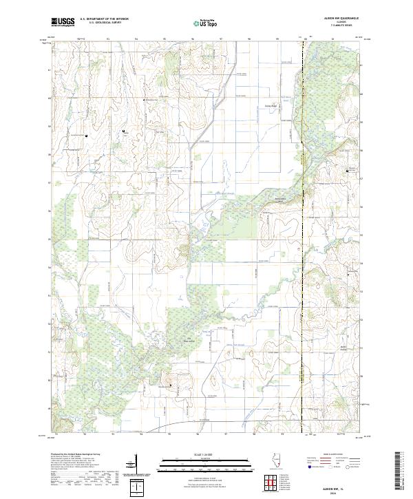
2024 Albion NW
Wayne County, IL
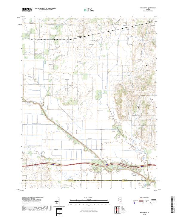
2024 Boyleston
Wayne County, IL
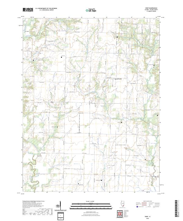
2024 Crisp
Wayne County, IL
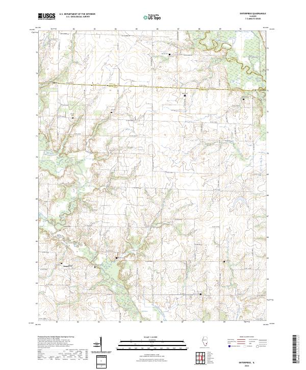
2024 Enterprise
Wayne County, IL
2024 Geff
Wayne County, IL
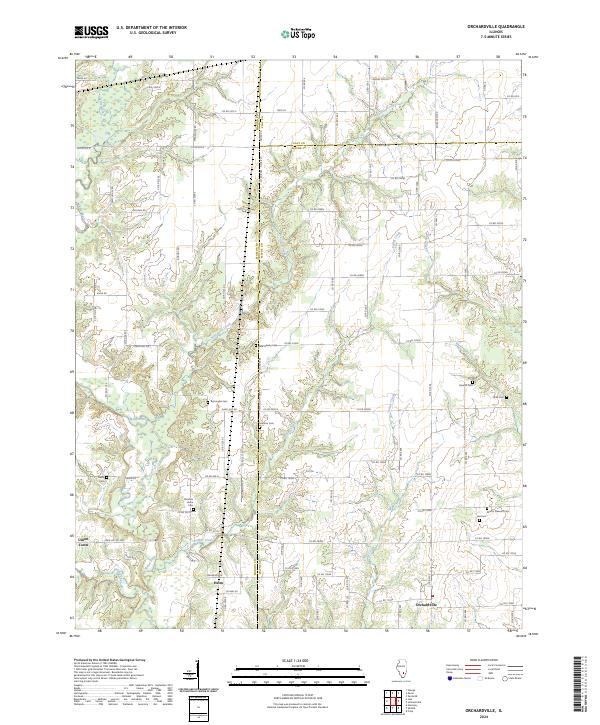
2024 Orchardville
Wayne County, IL
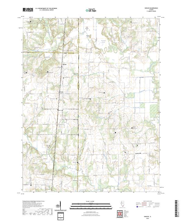
2024 Shields
Wayne County, IL