2020s Maps of Woodford County, Illinois
Explore 40 historic maps of Woodford County from the 2020s. These maps offer a rare glimpse into what life looked like during the 2020s — showing old roads, neighborhoods, homes, and landmarks that have changed or disappeared over time.
Whether you're researching your family's past, planning a metal detecting trip, or studying how Woodford County's landscape evolved across the 2020s, these high-resolution maps are a powerful tool for exploring the history of this region.
- Focus on a specific era: All maps on this page are from the 2020s, giving you a focused view of this time period.
- See what’s changed: Compare century-old streets, trails, and buildings to today's modern landscape using overlays and satellite layers.
- Research with precision: Use these maps for genealogy, historical research, land use analysis, or educational projects.
- View, download, or print: Maps are fully viewable online in high resolution, and can be downloaded or printed for your own records.
Start exploring Woodford County's history through authentic maps from the 2020s. This is your window into the past.
Woodford County, IL maps
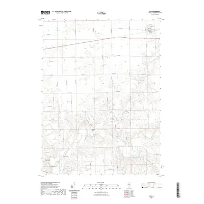
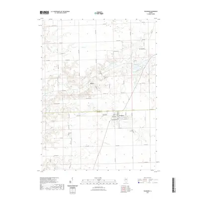
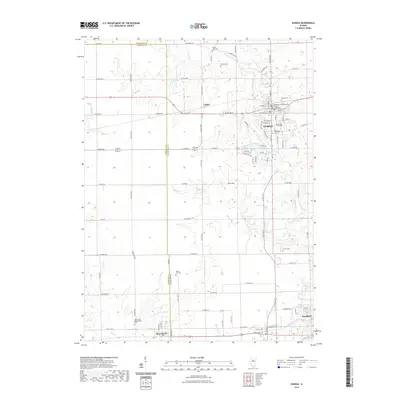
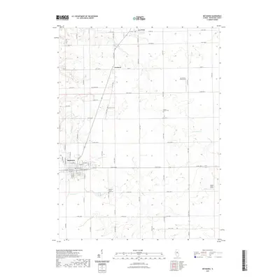
(40)- 2021 Map of Dana, 2021 Print
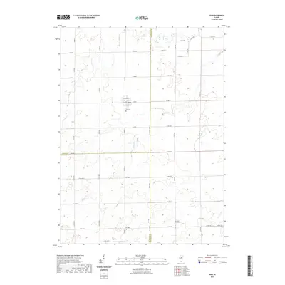 2021 Dana2021 Print · USGSCovers Woodford County, including Dana, Spires, and other nearby areas
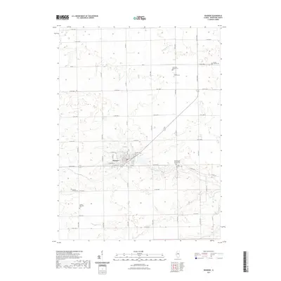
 - 2021 Map of Gridley, 2021 Print
 2021 Gridley2021 Print · USGSCovers Woodford County, including El Paso, Gridley, and other nearby areas
 - 2021 Map of Flanagan SW, 2021 Print
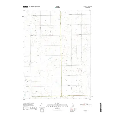 2021 Flanagan SW2021 Print · USGSCovers Woodford County, including Gridley, McLean County, and other nearby areas
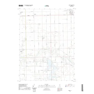
 - 2021 Map of La Rose, 2021 Print
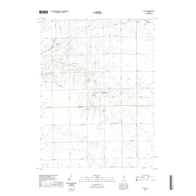 2021 La Rose2021 Print · USGSCovers Woodford County, including Toluca, La Rose, and other nearby areas
 - 2021 Map of Secor, 2021 Print
 2021 Secor2021 Print · USGSCovers Woodford County, including Secor, Goodfield, and other nearby areas
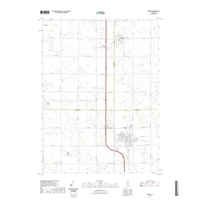
 - 2021 Map of Roanoke, 2021 Print
 2021 Roanoke2021 Print · USGSCovers Woodford County, including Roanoke, United States, and other nearby areas
 - 2021 Map of Danvers, 2021 Print
 2021 Danvers2021 Print · USGSCovers Woodford County, including Danvers, Congerville, and other nearby areas
 - 2021 Map of Minonk, 2021 Print
 2021 Minonk2021 Print · USGSCovers Woodford County, including Minonk, Toluca, and other nearby areas
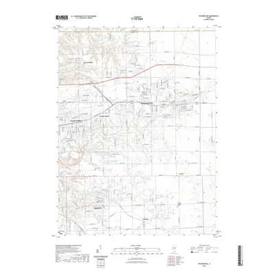
 - 2021 Map of Washburn, 2021 Print
 2021 Washburn2021 Print · USGSCovers Woodford County, including Washburn, Wilbern, and other nearby areas
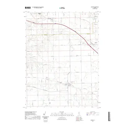
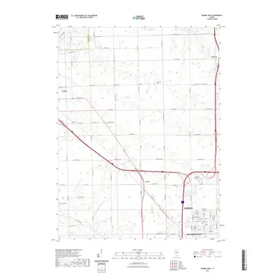
 - 2021 Map of El Paso, 2021 Print
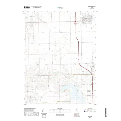 2021 El Paso2021 Print · USGSCovers Woodford County, including El Paso, Kappa, and other nearby areas
 - 2021 Map of Eureka, 2021 Print
 2021 Eureka2021 Print · USGSCovers Woodford County, including Eureka, Deer Creek, and other nearby areas
 - 2021 Map of Normal West, 2021 Print
 2021 Normal West2021 Print · USGSCovers Woodford County, including Bloomington, Normal, and other nearby areas
 - 2021 Map of Metamora, 2021 Print
 2021 Metamora2021 Print · USGSCovers Woodford County, including Metamora, Cazenovia, and other nearby areas
 - 2021 Map of Germantown Hills, 2021 Print
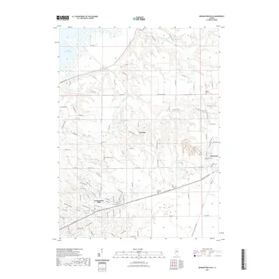 2021 Germantown Hills2021 Print · USGSCovers Woodford County, including Metamora, Germantown Hills, and other nearby areas
 - 2021 Map of Chillicothe, 2021 Print
 2021 Chillicothe2021 Print · USGSCovers Woodford County, including Chillicothe, Hopewell, and other nearby areas
 - 2021 Map of Mackinaw, 2021 Print
 2021 Mackinaw2021 Print · USGSCovers Woodford County, including Mackinaw, Deer Creek, and other nearby areas
 - 2021 Map of Washington, 2021 Print
 2021 Washington2021 Print · USGSCovers Woodford County, including East Peoria, Morton, and other nearby areas
 - 2021 Map of Peoria East, 2021 Print
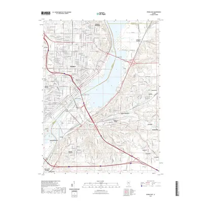 2021 Peoria East2021 Print · USGSCovers Woodford County, including Peoria, East Peoria, and other nearby areas
 - 2021 Map of Benson, 2021 Print
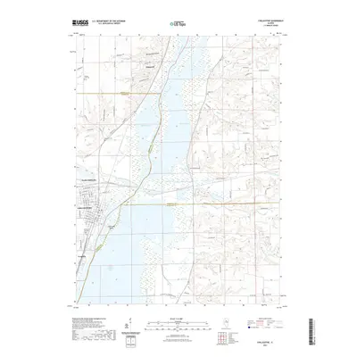
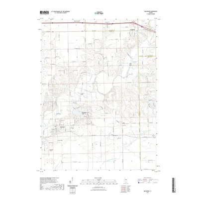
 2021 Benson2021 Print · USGSCovers Woodford County, including El Paso, Benson, and other nearby areas
 - 2021 Map of Spring Bay, 2021 Print
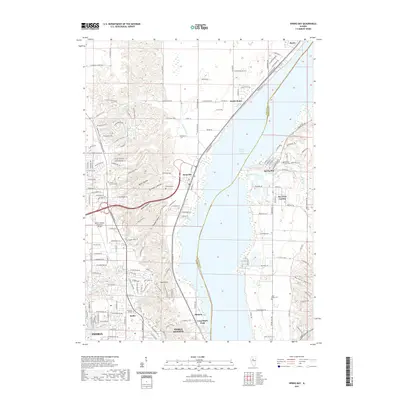 2021 Spring Bay2021 Print · USGSCovers Woodford County, including Peoria, Spring Bay, and other nearby areas
 - 2024 Map of Flanagan SW, 2024 Print
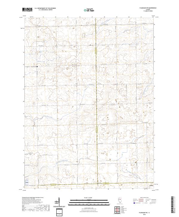 2024 Flanagan SW2024 Print · USGSWoodford, Livingston, and McLean counties converge in this detailed modern prairie survey. Genealogists and local historians can trace family locations near the Baughman Cem, locate the village of Gridley, and identify land parcels along East Branch Panther Creek.
 - 2024 Map of Danvers, 2024 Print
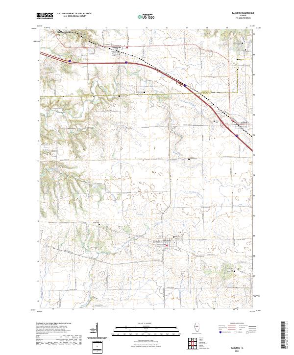 2024 Danvers2024 Print · USGSThe Woodford and McLean county line runs through this fertile Illinois prairie during its modern agricultural era. Genealogists and local researchers can trace family plots across a dozen historic sites like Stouts Grove Cem, Park Lawn Cem, and Imhoff Cem.
 - 2024 Map of Washington, 2024 Print
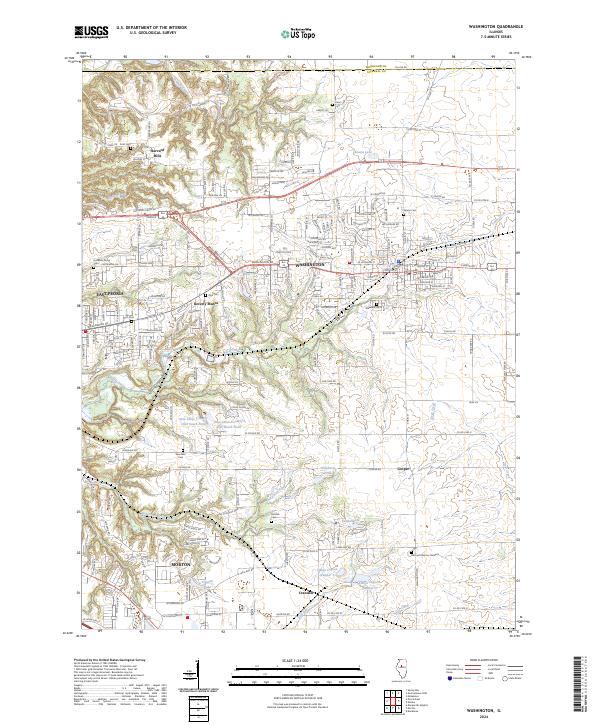 2024 Washington2024 Print · USGSTazewell County's evolving landscape shows the expansion of residential centers into historic farmland during the mid-2020s. Researchers can locate family sites near Hollands Grove Cem or trace the early paths of Crandall and Beverly Manor.
 - 2024 Map of Roanoke, 2024 Print
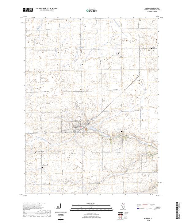 2024 Roanoke2024 Print · USGSThe village of Roanoke and its surrounding prairie townships are captured here in the contemporary era. Genealogists can trace family roots through numerous denominational sites, including the Roanoke Mennonite Cem, Apostolic Christian Cem, and Panther Creek Church of the Brethren Cem.
 - 2024 Map of Eureka, 2024 Print
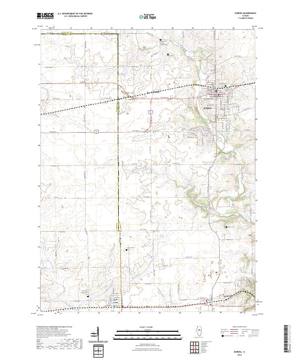 2024 Eureka2024 Print · USGSEureka and its neighboring townships are documented here during a period of modern growth and historical preservation. Genealogists and local historians can trace the foundations of the community through sites like Eureka College, the Woodford County Courthouse, and numerous burial grounds including Olio Township Cem.
Showing maps 1-25 of 40
Top cities of Woodford County
- Eureka historical maps
- El Paso historical maps
- Metamora historical maps
- Germantown Hills historical maps
- Minonk historical maps
- Roanoke historical maps
See more
Frequently asked questions
- What are the different types of historical maps available for Woodford County?
- What is the oldest map of Woodford County?
- Where can I purchase historical maps of Woodford County for my home or office?
- Where can I download high-res historical maps of Woodford County?
- Are there historical topographic maps available for Woodford County?
- Is there historical aerial imagery available for Woodford County?
- Where are historical maps of Woodford County sourced from?