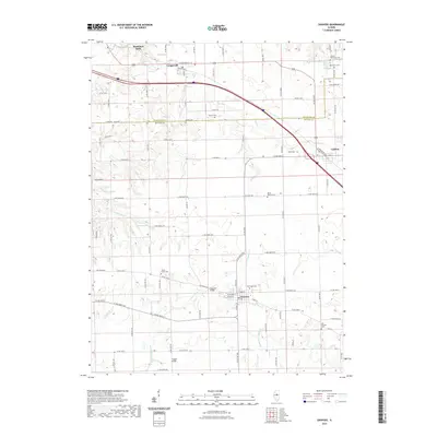
2021 Map of Danvers
USGS Topo · Published 2021About this map
Danvers and Congerville serve as central hubs in this central Illinois landscape, where the agricultural grid is broken by the winding courses of W Fork Sugar Cr and Middle Fork Sugar Cr. The area is notably dense with small family and community burial grounds, such as Stouts Grove Cem and Hall Barnard Cem, providing significant points of interest for genealogical research. The transition from the flat prairie to the more varied terrain around Mackinaw Dells in the northwest corner highlights the local geography. Distinctive crossings like Habecker Bridge and Fluegel Bridge facilitate travel across the various branches of Sugar Creek. To the northeast, the village of Carlock sits near Oak Grove Cem, marking the boundary between Woodford and McLean counties.
Find a feature on this map
91 named features on this map. Tap any name to fly to it.
Don’t see what you’re looking for? This feature index may not catch every label — zoom into the map to look around manually.
Map Details
Editions of this 2021 Danvers Map
This is the sole edition of this map. No revisions or reprints were ever made.
Other maps of this area

1927 · Danvers
USGS Topo · 1:62,500

1928 · Mackinaw
USGS Topo · 1:62,500

1930 · Danvers
USGS Topo · 1:62,500

1932 · Mackinaw
USGS Topo · 1:62,500

1949 · Mc Lean
USGS Topo · 1:62,500

1951 · McLean
USGS Topo · 1:62,500

1951 · Minier
USGS Topo · 1:62,500

1958 · Peoria
USGS Topo · 1:250,000

1961 · Peoria
USGS Topo · 1:250,000

1963 · Peoria
USGS Topo · 1:250,000