2010s Maps of Adams County, Indiana
Explore 48 historic maps of Adams County from the 2010s. These maps offer a rare glimpse into what life looked like during the 2010s — showing old roads, neighborhoods, homes, and landmarks that have changed or disappeared over time.
Whether you're researching your family's past, planning a metal detecting trip, or studying how Adams County's landscape evolved across the 2010s, these high-resolution maps are a powerful tool for exploring the history of this region.
- Focus on a specific era: All maps on this page are from the 2010s, giving you a focused view of this time period.
- See what’s changed: Compare century-old streets, trails, and buildings to today's modern landscape using overlays and satellite layers.
- Research with precision: Use these maps for genealogy, historical research, land use analysis, or educational projects.
- View, download, or print: Maps are fully viewable online in high resolution, and can be downloaded or printed for your own records.
Start exploring Adams County's history through authentic maps from the 2010s. This is your window into the past.
Adams County, IN maps
(48)- 2010 Map of Preble, 2010 Print
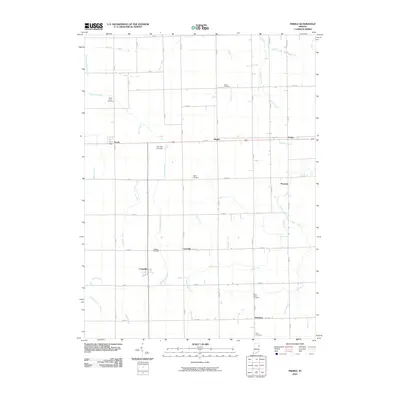 2010 Preble2010 Print · USGSAdams County in the early twenty-first century remains a landscape of traditional farming and engineering. Genealogists and local historians can trace family locations near Tocsin, Curryville, and Honduras, or find ancestors at Saint Lukes Cemetery and Zion Cemetery.
 - 2010 Map of Berne, 2010 Print
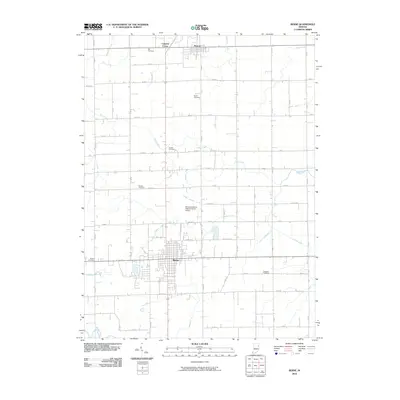 2010 Berne2010 Print · USGSThe rural landscape around Berne at the start of the 2010s shows a deeply rooted agricultural and family heritage in Adams County. Researchers can trace local history through numerous family landmarks like Ray and Mazelin or follow drainage routes like Blue Creek and Yellow Creek.
 - 2010 Map of Domestic, 2010 Print
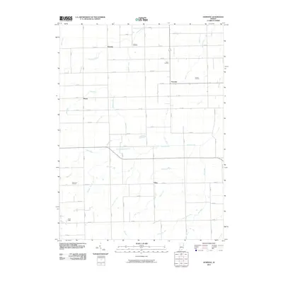 2010 Domestic2010 Print · USGSEastern Indiana’s farming country is captured here during the first decade of the new millennium. Researchers can trace ancestral locations and rural landmarks across Domestic, Perryville, and local burial grounds like Hartford Cemetery and Brown Cemetery.
 - 2010 Map of Decatur, 2010 Print
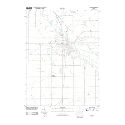 2010 Decatur2010 Print · USGSDecatur and its surrounding Adams County townships are shown here in the early twenty-first century, centered on the Saint Marys River. Researchers can locate several burial grounds including Saint Josephs Cemetery or trace the rural landscape near Elm Tree Crossroads.
 - 2010 Map of Hoagland, 2010 Print
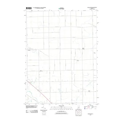 2010 Hoagland2010 Print · USGSSoutheast of Fort Wayne in the early 2000s, this area shows a deep-rooted farming landscape shaped by the Saint Marys River. Genealogists can locate family names on markers at Brown Cemetery and trace the rural reaches of Hoagland and Boston Corner.
 - 2010 Map of Poe, 2010 Print
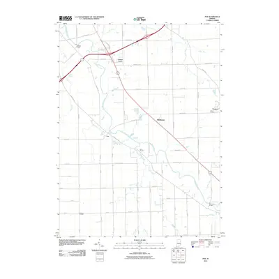 2010 Poe2010 Print · USGSAllen County’s agricultural heartland is documented here in the early twenty-first century, centered on the Saint Marys River corridor. Genealogists and historians can locate family sites near Bethel Cemetery, the community of Hessen Cassel, and Muldoon Bridge.
 - 2010 Map of Linn Grove, 2010 Print
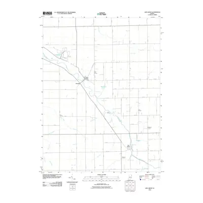 2010 Linn Grove2010 Print · USGSThe Wabash River valley in Wells County appears here in the early twenty-first century as a landscape of structured drainage and small riverside settlements. Researchers can locate numerous local burial grounds including Greenwood Cemetery, Saint Johns Cemetery, and Linn Cemetery.
 - 2010 Map of Dixon, 2010 Print
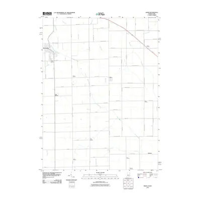 2010 Dixon2010 Print · USGSThe Indiana-Ohio borderlands at the start of the 2010s reveal a landscape of agricultural grids and dispersed rural hamlets. Family historians can locate several local burial sites including McNeal and Odd Fellows, while tracing old crossroads at East Liberty and Dixon.
 - 2010 Map of Willshire, 2010 Print
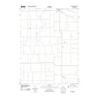 2010 Willshire2010 Print · USGSWillshire and the surrounding Ohio-Indiana borderlands are captured here at the start of the 2010s, defined by the winding Saint Marys River and a deep agricultural grid. Genealogists can trace early homestead areas near Willshire Cemetery, Zion Cemetery, and the quiet community of Chattanooga.
 - 2010 Map of Wren, 2010 Print
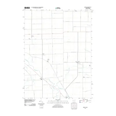 2010 Wren2010 Print · USGSCrossing the Ohio-Indiana border in the early 21st century, this area shows a landscape of river-bend settlements and quiet country crossroads. Researchers can locate numerous family burial sites like Old Mount Tabor Cemetery and trace the paths of Saint Marys River and Twentyseven Mile Creek.
 - 2010 Map of New Corydon, 2010 Print
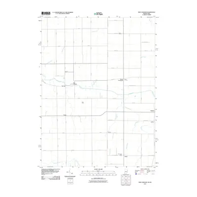 2010 New Corydon2010 Print · USGSThe Indiana-Ohio borderlands come into focus in the early twenty-first century as a network of rural settlements and agricultural ditches. Trace local roots through New Corydon or Trinity and locate family plots at Liberty Cemetery or Skeels Cemetery.
 - 2011 Map of Geneva, 2011 Print
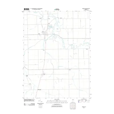 2011 Geneva2011 Print · USGSGeneva and the surrounding Indiana countryside are captured here in the early 21st century, showing a landscape shaped by rural agriculture and the Wabash River. Genealogists can trace local roots through numerous sites like Old Baptist Cemetery, Studebaker Cemetery, and Pingrey Cemetery.
 - 2013 Map of New Corydon, 2013 Print
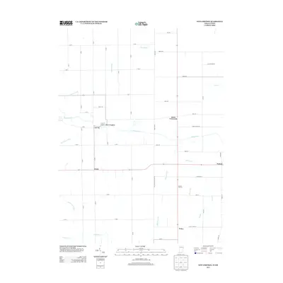 2013 New Corydon2013 Print · USGSThe Indiana-Ohio borderlands come into focus in the early twenty-first century as a network of small settlements and managed waterways. Genealogists and local historians can trace the areas around New Corydon, Jay City, and the rural community of Padua near Limberlost Cr.
 - 2013 Map of Hoagland, 2013 Print
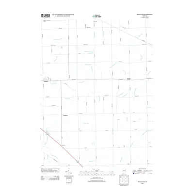 2013 Hoagland2013 Print · USGSAllen County agriculture and rural life take center stage in this early twenty-first-century survey of the Hoagland area. Genealogists and local historians can trace the drainage networks and small settlements like Boston Corner, Williams, and the Valhalla Airport.
 - 2013 Map of Preble, 2013 Print
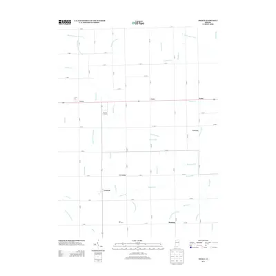 2013 Preble2013 Print · USGSAdams County’s rural heritage is preserved here in the early twenty-first century, showing a landscape shaped by drainage and small-town commerce. Researchers can trace family roots through settlements like Tocsin, Honduras, and Magley or locate local landmarks such as The Lazy K Airport.
 - 2013 Map of Domestic, 2013 Print
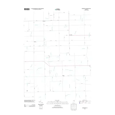 2013 Domestic2013 Print · USGSThe rural crossroads of Adams County are meticulously documented in this early twenty-first-century survey of the Indiana countryside. Researchers can trace local landmarks and property contexts near Domestic, Perryville, and the waters of Loblolly Cr.
 - 2013 Map of Poe, 2013 Print
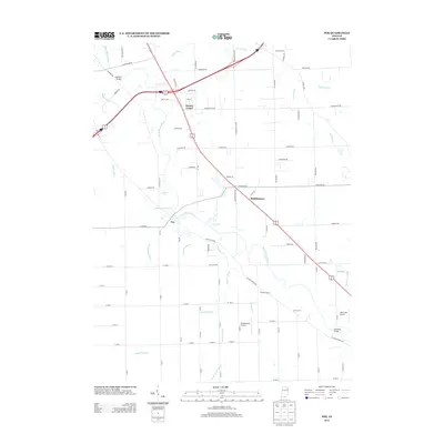 2013 Poe2013 Print · USGSSoutheast of Fort Wayne in the early 2010s, this area shows a landscape of river-bend settlements and specialized rural aviation. Genealogists and local historians can trace family-named sites like Erxleben Farms or locate crossings such as Scheiman Bridge and Muldoon Bridge.
 - 2013 Map of Linn Grove, 2013 Print
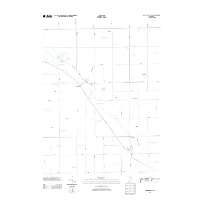 2013 Linn Grove2013 Print · USGSThe Wabash River corridor comes into focus here during the early twenty-first century, showcasing the rural settlements of Vera Cruz and Linn Grove. Genealogists and researchers can trace local land patterns near Kunkel Lake, Riverside, and Tri Oaks Farm.
 - 2013 Map of Berne, 2013 Print
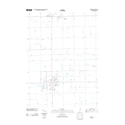 2013 Berne2013 Print · USGSIndiana's farm country near Berne is shown here in the early twenty-first century, revealing a landscape defined by industrial agriculture and complex drainage. Genealogists and local historians can trace family-named lands like Sommer Farm and settlements including Monroe and Coppess Corner.
 - 2013 Map of Geneva, 2013 Print
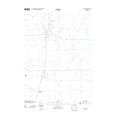 2013 Geneva2013 Print · USGSSettlements along the Wabash River corridor in eastern Indiana are mapped here during the early twenty-first century. Researchers can trace local genealogy and land use through named places like Geneva, Bryant, and family landmarks such as Toland Farms.
 - 2013 Map of Decatur, 2013 Print
 2013 Decatur2013 Print · USGSDecatur and the surrounding Adams County countryside are shown here at the start of the 2010s, centered on the Saint Marys River corridor. Genealogists and local historians can trace the landscape from Decatur out to Monmouth and the Adams County Home.
 - 2013 Map of Dixon, 2013 Print
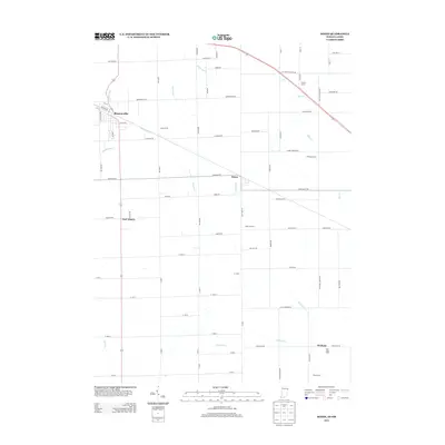 2013 Dixon2013 Print · USGSThe Indiana and Ohio state line runs through the heart of these borderlands in the early 2010s, showing a landscape of precise township grids and productive family farms. Genealogists and local historians can trace the geography of modern rural life at Dealey Farms, Olsthoom Dairy, and the small settlement of Monroeville.
 - 2013 Map of Wren, 2013 Print
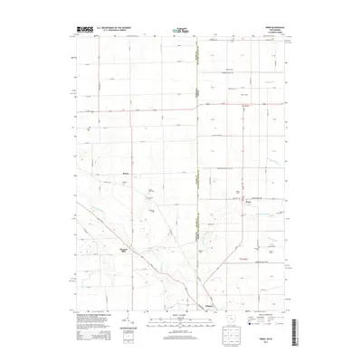 2013 Wren2013 Print · USGSThe borderlands of Ohio and Indiana are captured here in the early twenty-first century, centered on the villages of Wren and Willshire. Researchers can trace local lineage through numerous documented burial sites like Old Mt Tabor Cem and family holdings such as Burkhart Farm.
 - 2013 Map of Willshire, 2013 Print
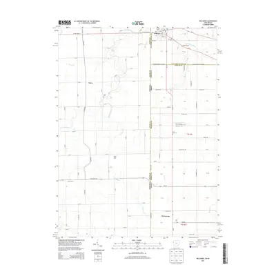 2013 Willshire2013 Print · USGSThe Indiana-Ohio borderlands come into focus in the early 2010s, showing a landscape defined by the Saint Marys River and productive farmland. Genealogists can trace family roots at Willshire Cem and Duck Creek Cem or locate the rural crossroads of Chattanooga.
 - 2016 Map of Geneva, 2016 Print
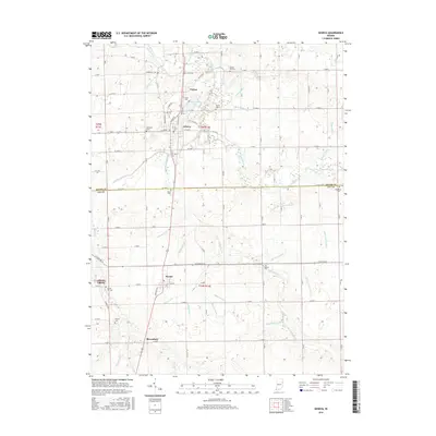 2016 Geneva2016 Print · USGSThe borderlands of Adams and Jay counties are documented here in the early twenty-first century, showing the enduring agricultural character of the region. Researchers can trace family sites at Studebaker Cem and Gravel Hill Cem or explore the drainage networks of Limberlost Cr and Rainbow Lake.
Showing maps 1-25 of 48
Top cities of Adams County
- Decatur historical maps
- Berne historical maps
- Geneva historical maps
- Preble historical maps
- Monroe historical maps
Frequently asked questions
- What are the different types of historical maps available for Adams County?
- What is the oldest map of Adams County?
- Where can I purchase historical maps of Adams County for my home or office?
- Where can I download high-res historical maps of Adams County?
- Are there historical topographic maps available for Adams County?
- Is there historical aerial imagery available for Adams County?
- Where are historical maps of Adams County sourced from?