2010s Maps of Allen County, Indiana
Explore 80 historic maps of Allen County from the 2010s. These maps offer a rare glimpse into what life looked like during the 2010s — showing old roads, neighborhoods, homes, and landmarks that have changed or disappeared over time.
Whether you're researching your family's past, planning a metal detecting trip, or studying how Allen County's landscape evolved across the 2010s, these high-resolution maps are a powerful tool for exploring the history of this region.
- Focus on a specific era: All maps on this page are from the 2010s, giving you a focused view of this time period.
- See what’s changed: Compare century-old streets, trails, and buildings to today's modern landscape using overlays and satellite layers.
- Research with precision: Use these maps for genealogy, historical research, land use analysis, or educational projects.
- View, download, or print: Maps are fully viewable online in high resolution, and can be downloaded or printed for your own records.
Start exploring Allen County's history through authentic maps from the 2010s. This is your window into the past.
Allen County, IN maps
(80)- 2010 Map of Fort Wayne West, 2010 Print
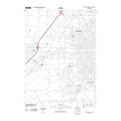 2010 Fort Wayne West2010 Print · USGSFort Wayne's western suburbs and the confluence of its three major rivers are documented here during a period of steady expansion. Genealogists and local historians can trace the development of neighborhoods like Waynedale and Indian Village or locate family plots in Lindenwood Cemetery.
 - 2010 Map of Huntertown, 2010 Print
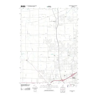 2010 Huntertown2010 Print · USGSNorthern Allen County and the outskirts of Fort Wayne are captured here during a period of modern expansion. Genealogists and local historians can trace family locations through Fairview Cemetery, Huntertown, and the grounds around Smith Field.
 - 2010 Map of Churubusco, 2010 Print
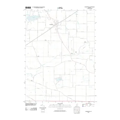 2010 Churubusco2010 Print · USGSThe town of Churubusco and its surrounding Indiana countryside are shown here at the turn of the millennium. Genealogists can trace family footprints across several sites, including Riverview Cemetery, Wigent Cemetery, and the banks of the Eel River.
 - 2010 Map of Auburn, 2010 Print
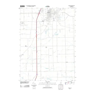 2010 Auburn2010 Print · USGSDeKalb County’s rural crossroads and growing city centers are documented here in the early twenty-first century. Researchers can trace the legacy of local families through landmarks like Roselawn Cemetery and small communities such as New Era and Hopewell.
 - 2010 Map of Arcola, 2010 Print
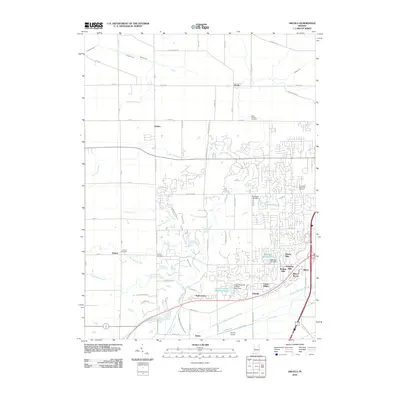 2010 Arcola2010 Print · USGSAllen County’s western corridor is captured in the early 21st century as suburban growth meets rural farmland. Genealogists can locate family burial plots at Saint Patricks Cemetery or Bayliss Cemetery, while following the path of Aboite Creek through Dunfee.
 - 2010 Map of Cedarville, 2010 Print
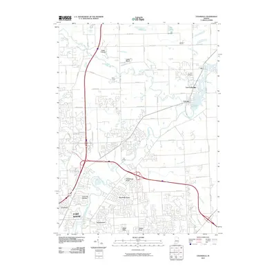 2010 Cedarville2010 Print · USGSThe northern expansion of Allen County is documented here at the turn of the millennium as suburban neighborhoods grow toward the river. Genealogists and local historians can trace family plots at Saint Michaels Cemetery or locate the old Ely Bridge and Exner Airport.
 - 2010 Map of Ege, 2010 Print
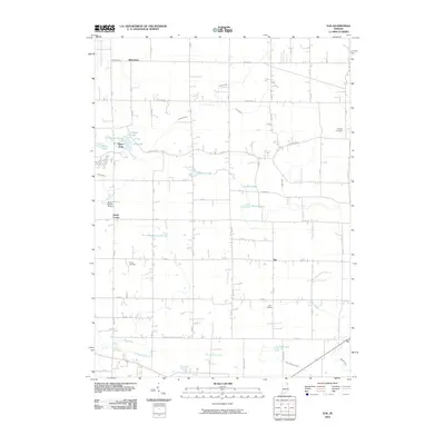 2010 Ege2010 Print · USGSNortheast Indiana at the dawn of the 21st century remains a landscape of quiet crossroads and historic farmsteads. Genealogists and local historians can trace family roots through Hooper Cemetery or explore the rural hubs of Green Center and Ege.
 - 2010 Map of Garrett, 2010 Print
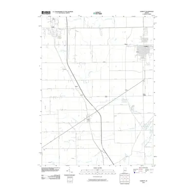 2010 Garrett2010 Print · USGSDeKalb County and the areas surrounding Garrett are documented here during a period of steady growth and rural continuity. Researchers can trace the layout of small towns like Laotto and find family names at Embrey Cemetery or Saint Marys Cemetery.
 - 2010 Map of Fort Wayne East, 2010 Print
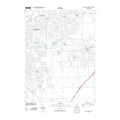 2010 Fort Wayne East2010 Print · USGSFort Wayne and New Haven are captured here just after the first decade of the millennium, showing a landscape of established neighborhoods and riverfront industry. Genealogists can locate Bowers Cemetery and Saint John Cemetery or trace the path of the Lincoln Highway.
 - 2010 Map of Maples, 2010 Print
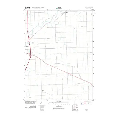 2010 Maples2010 Print · USGSAllen County, Indiana, at the start of the 21st century remains a landscape of agricultural tradition and specialized aviation. Genealogists can trace family ties at Emmanuel Cemetery or locate historical property near the crossroads of Maples, Zulu, and Gar Creek.
 - 2010 Map of Saint Joe, 2010 Print
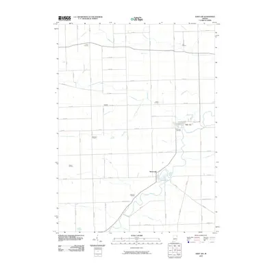 2010 Saint Joe2010 Print · USGSDeKalb County’s river valleys and rural townships are captured here in the early twenty-first century. Genealogists can locate numerous family burial grounds, such as White City Cemetery and Watson Cemetery, while tracing the course of the St Joseph River.
 - 2010 Map of Grabill, 2010 Print
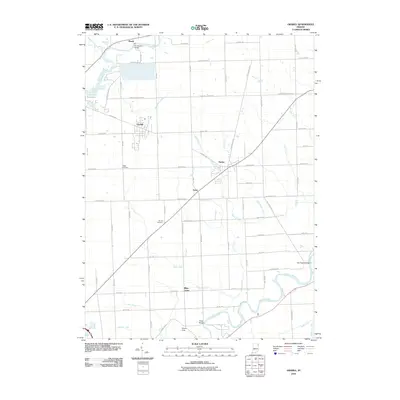 2010 Grabill2010 Print · USGSNortheast Indiana's agricultural heartland is documented here in the early 21st century, showing the intricate drainage network of the Saint Joseph and Maumee watersheds. Genealogists can locate family sites near Yaggy Cemetery or the rural settlements of Grabill and Harlan.
 - 2010 Map of Hoagland, 2010 Print
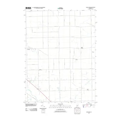 2010 Hoagland2010 Print · USGSSoutheast of Fort Wayne in the early 2000s, this area shows a deep-rooted farming landscape shaped by the Saint Marys River. Genealogists can locate family names on markers at Brown Cemetery and trace the rural reaches of Hoagland and Boston Corner.
 - 2010 Map of Poe, 2010 Print
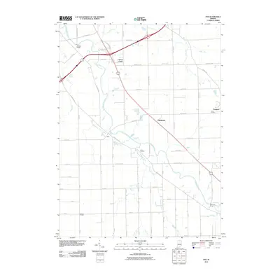 2010 Poe2010 Print · USGSAllen County’s agricultural heartland is documented here in the early twenty-first century, centered on the Saint Marys River corridor. Genealogists and historians can locate family sites near Bethel Cemetery, the community of Hessen Cassel, and Muldoon Bridge.
 - 2010 Map of Ossian, 2010 Print
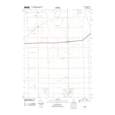 2010 Ossian2010 Print · USGSThe rural landscape of Allen County at the start of the 21st century reveals a deep reliance on managed waterways and local aviation. Researchers can trace the layout of Ossian, locate family plots at Fogwell Cemetery, and follow the path of Eightmile Creek through the prairie.
 - 2010 Map of Zanesville, 2010 Print
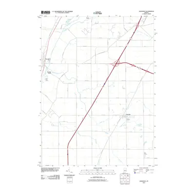 2010 Zanesville2010 Print · USGSNortheast Indiana's agricultural heartland is documented here just after the first decade of the millennium. Researchers can locate family landmarks like Hoverstock Cemetery or trace the drainage networks of Eightmile Creek and Flat Creek.
 - 2010 Map of Dixon, 2010 Print
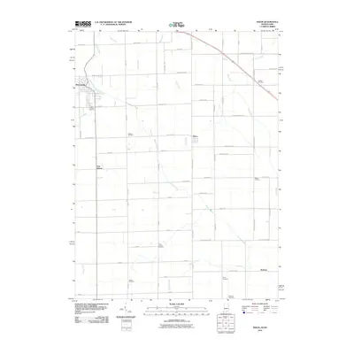 2010 Dixon2010 Print · USGSThe Indiana-Ohio borderlands at the start of the 2010s reveal a landscape of agricultural grids and dispersed rural hamlets. Family historians can locate several local burial sites including McNeal and Odd Fellows, while tracing old crossroads at East Liberty and Dixon.
 - 2010 Map of Hicksville, 2010 Print
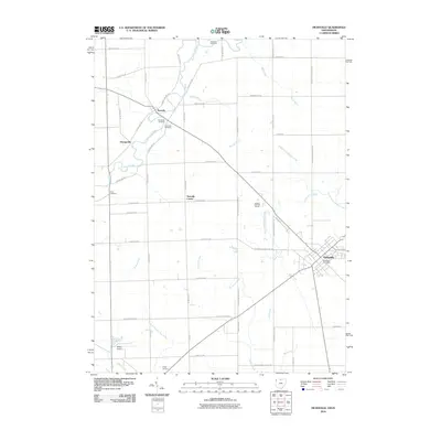 2010 Hicksville2010 Print · USGSHicksville and the surrounding borderlands of Ohio and Indiana are shown here in the early twenty-first century as a well-ordered agricultural and residential landscape. Researchers can trace family history through several local sites including Riverside Cemetery, Evergreen Cemetery, and the settlement at Newville.
 - 2010 Map of Woodburn North, 2010 Print
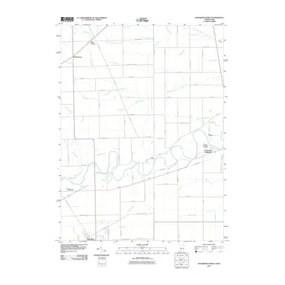 2010 Woodburn North2010 Print · USGSThe Indiana-Ohio borderlands come into focus in 2010, showing the rural landscapes and river bends of the Maumee Valley. Genealogists and local historians can locate several family burial grounds, including Clark Cemetery and Diehl Cemetery, or trace the development of Woodburn and Bluecast.
 - 2010 Map of Woodburn South, 2010 Print
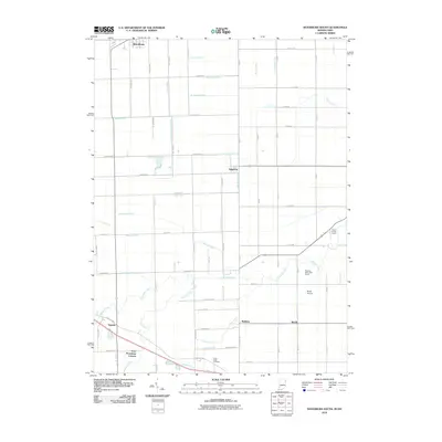 2010 Woodburn South2010 Print · USGSThe Indiana-Ohio borderlands come into focus in the early 2000s, showing a landscape defined by drainage ditches and rural road networks. Genealogists and historians can locate Sugar Ridge Cemetery and trace the small communities of Edgerton, Baldwin, and Four Presidents Corners.
 - 2013 Map of Grabill, 2013 Print
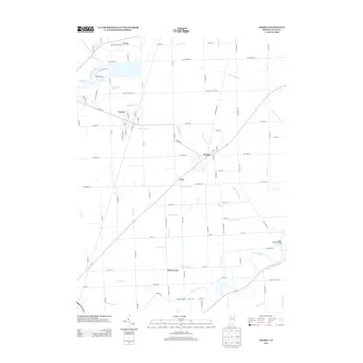 2013 Grabill2013 Print · USGSAllen County’s rural landscape is captured here in the early twenty-first century, showing the transition between established farming communities and modern water management. Genealogists and researchers can locate family sites near Grabill, Harlan, and the historic Wabash and Erie Canal.
 - 2013 Map of Woodburn North, 2013 Print
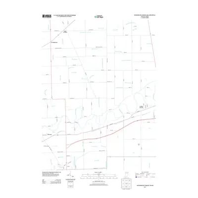 2013 Woodburn North2013 Print · USGSThe Indiana-Ohio borderlands at the start of the 2010s are defined here by the winding Maumee River and the legacy of the Wabash and Erie Canal. Researchers can trace the rural drainage networks of Halls Corners or locate landmarks like Bluecast Spring and Brenneke Airport.
 - 2013 Map of Woodburn South, 2013 Print
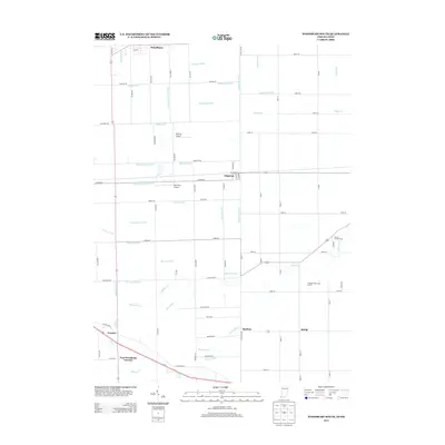 2013 Woodburn South2013 Print · USGSThe Indiana-Ohio state line passes through this rural corridor during the early twenty-first century. Genealogists and local historians can trace family-named sites and crossroad hamlets like Four Presidents Corners, Townley, and Edgerton.
 - 2013 Map of Garrett, 2013 Print
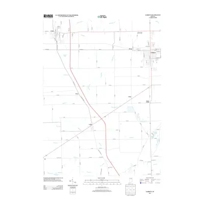 2013 Garrett2013 Print · USGSDeKalb County and the surrounding countryside appear in detail during the early twenty-first century. Researchers can trace the development of Garrett, Avilla, and smaller hamlets like Laotto and Butler Center alongside drainage networks like Yarde Ditch.
 - 2013 Map of Arcola, 2013 Print
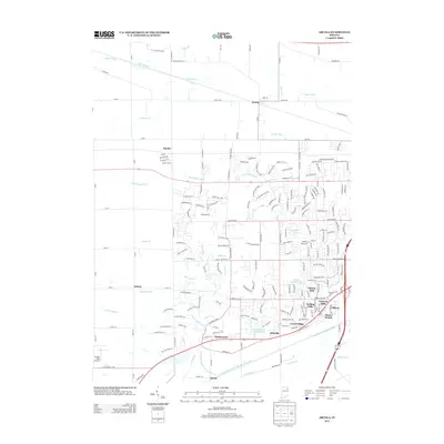 2013 Arcola2013 Print · USGSArcola and its surrounding townships appear here during a period of suburban transition in Allen County. Researchers can trace the development of Liberty Hills and Ellisville or locate landmarks like Gerig's Field Airport and Kekionga Shores Lake.
Showing maps 1-25 of 80
Top cities of Allen County
- Fort Wayne historical maps
- Aboite historical maps
- New Haven historical maps
- Leo-Cedarville historical maps
- Huntertown historical maps
- Woodburn historical maps
See more
Frequently asked questions
- What are the different types of historical maps available for Allen County?
- What is the oldest map of Allen County?
- Where can I purchase historical maps of Allen County for my home or office?
- Where can I download high-res historical maps of Allen County?
- Are there historical topographic maps available for Allen County?
- Is there historical aerial imagery available for Allen County?
- Where are historical maps of Allen County sourced from?