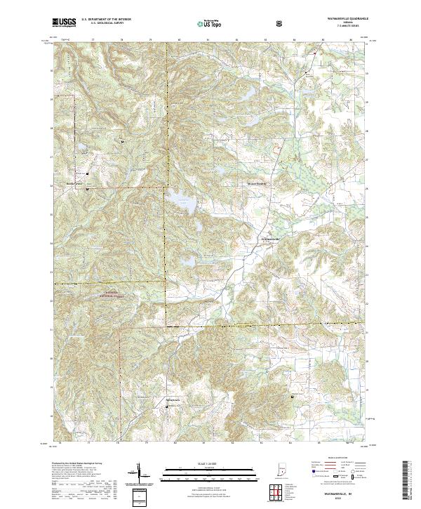
Old Maps of Waymansville, Indiana for Hiking & Exploration
Hike through history with 13 historic maps of Waymansville. Explore old trails, ghost towns, and forgotten backroads — perfect for outdoor adventurers and local explorers.
- Rediscover forgotten places: Map out old mining camps, roads, and footpaths that no longer exist on modern maps.
- Layer with modern tools: Combine with LiDAR or satellite views to plan hikes through historical terrain.
- Made for exploration: Popular among hikers, overlanders, and local history lovers.
Use these maps to find adventure and explore the hidden past of Waymansville.
Waymansville, IN maps
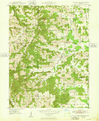
(13)- 1942 Map of Franklin
 1942 Franklin1942 Print · USGSCentral Indiana during the early years of the war shows a landscape of established rail towns and growing military installations. Genealogists can trace family names across small settlements like Nineveh, Bean Blossom, and Helmsburg, or locate the Indiana University Observatory.
 - 1948 Map of Waymansville
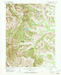
 1948 Waymansville1948 Print · USGSBartholomew and Jackson counties appear here just after the war, showing a landscape of ridge-top schools and creek-bottom settlements. Researchers can trace the rural legacy of Waymansville and find local landmarks like Ohio Chapel, Taylor Chapel, and the St Paul Sch.2 unique versions available
 - 1953 Map of Indianapolis, 1965 Print
 1953 Indianapolis1965 Print · USGSCentral Indiana and the Illinois borderlands are captured in the mid-sixties, showing the growth of Indianapolis and its industrial rail corridors. Genealogists and historians can trace the development of outlying towns like Zionsville or Beech Grove and find landmarks such as Atterbury AAF and Turkey Run State Park.4 unique versions available
 - 1956 Map of Indianapolis
 1956 Indianapolis1956 Print · USGSCentral Indiana in the mid-fifties is captured during a period of industrial growth and military presence. Genealogists and historians can trace the rail networks of the New York Central or locate regional landmarks like Fort Benjamin Harrison and Camp Atterbury.
 - 1957 Map of Indianapolis
 1957 Indianapolis1957 Print · USGSCentral Indiana in the mid-fifties is captured here as a crossroads of major rail lines and nascent federal highways. Genealogists and historians can trace family-named ridges like Poplar Ridge or locate strategic sites like Camp Atterbury and Speedway.2 unique versions available
 - 1962 Map of Indianapolis
 1962 Indianapolis1962 Print · USGSCentral Indiana and the Illinois borderlands are captured here in the early sixties, showing the region's dense rail networks and growing urban centers. Genealogists and historians can locate family-named landmarks and institutions like Crown Hill Cem, Indiana University, and the Indianapolis Motor Speedway.
 - 1962 Map of Waymansville, 1964 Print
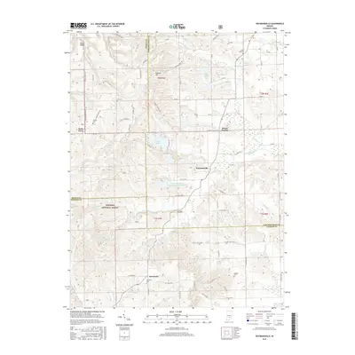
 1962 Waymansville1964 Print · USGSBartholomew and Jackson counties meet in this early 1960s survey of the wooded ridges and creek bottoms south of Ogilville. Researchers can locate rural landmarks such as Waymansville, Ohio Chapel, and family burial sites like Weddell Cem and Gilmore Cem.6 unique versions available
 - 1986 Map of Bloomington
 1986 Bloomington1986 Print · USGSMid-century development and vast conservation areas define south-central Indiana during the eighties. Genealogists and historians can trace family roots through numerous landmarks like Beanblossom Cem, New Unionville Church, and the historic corridors of the Indiana RR.3 unique versions available
 - 2011 Map of Waymansville, 2011 Print
 2011 Waymansville2011 Print · USGSCovers Waymansville, including Becks Grove, Mount Healthy, and other nearby areas
 - 2013 Map of Waymansville, 2013 Print
 2013 Waymansville2013 Print · USGSCovers Waymansville, including Becks Grove, Mount Healthy, and other nearby areas
 - 2016 Map of Waymansville, 2016 Print
 2016 Waymansville2016 Print · USGSCovers Waymansville, including Becks Grove, Mount Healthy, and other nearby areas
 - 2019 Map of Waymansville, 2019 Print
 2019 Waymansville2019 Print · USGSCovers Waymansville, including Becks Grove, Mount Healthy, and other nearby areas
 - 2022 Map of Waymansville, 2022 Print
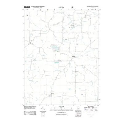
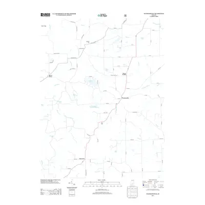
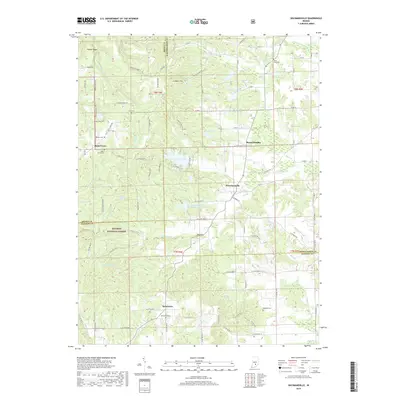
 2022 Waymansville2022 Print · USGSBartholomew and Jackson Counties are shown here during the early 2020s, where the rural settlements of the Indiana hills meet the Hoosier National Forest. Genealogists can trace family landmarks and burial sites like Saint Paul Cem, Becks Grove Cem, and the historic crossroads at Spraytown.
End of results
Showing maps 1-13 of 13
Top cities near Waymansville
- Columbus historical maps
- Seymour historical maps
- Brownstown historical maps
- Nashville historical maps
- Elizabethtown historical maps
- Clifford historical maps
See more
Frequently asked questions
- What are the different types of historical maps available for Waymansville?
- What is the oldest map of Waymansville?
- Where can I purchase historical maps of Waymansville for my home or office?
- Where can I download high-res historical maps of Waymansville?
- Are there historical topographic maps available for Waymansville?
- Is there historical aerial imagery available for Waymansville?
- Where are historical maps of Waymansville sourced from?