Old Maps of Veedersburg, Indiana for Hiking & Exploration
Hike through history with 18 historic maps of Veedersburg. Explore old trails, ghost towns, and forgotten backroads — perfect for outdoor adventurers and local explorers.
- Rediscover forgotten places: Map out old mining camps, roads, and footpaths that no longer exist on modern maps.
- Layer with modern tools: Combine with LiDAR or satellite views to plan hikes through historical terrain.
- Made for exploration: Popular among hikers, overlanders, and local history lovers.
Use these maps to find adventure and explore the hidden past of Veedersburg.
Veedersburg, IN maps
(18)- 1953 Map of Danville, 1965 Print
 1953 Danville1965 Print · USGSIndiana and Illinois crossroads come to life in this mid-century survey as the interstate era begins to reshape the river-and-rail landscape. Genealogists and collectors can trace the historic paths of the Nickel Plate railroad or locate smaller communities like Veedersburg, Goodland, and Bismarck.3 unique versions available
 - 1955 Map of Danville
 1955 Danville1955 Print · USGSThe Indiana-Illinois borderlands during the mid-fifties reveal a landscape of thriving rail hubs and university towns. Researchers can trace the legacy of Purdue University, the Tippecanoe Battlefield, and the path of the Pennsylvania RR.
 - 1956 Map of Danville
 1956 Danville1956 Print · USGSMid-century Indiana and Illinois are captured here as the river-and-rail economy evolved into the modern highway era. Researchers can trace ancestral roots and old transport lines through Logansport, Battle Ground, and the dams at Lake Shafer.
 - 1958 Map of Veedersburg, 1959 Print
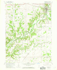
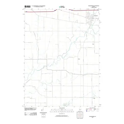
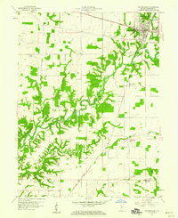 1958 Veedersburg1959 Print · USGSFountain County rural life in the late fifties centers on the rail junction at Veedersburg and the winding valley of Coal Creek. You can trace vanished landmarks like the Rabb Sch, locate family plots at Davis Cem, and explore the rail-side hamlet of Yeddo.
 - 1962 Map of Hillsboro, 1964 Print
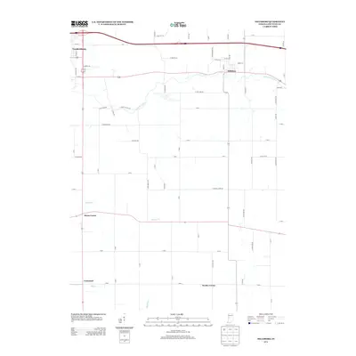
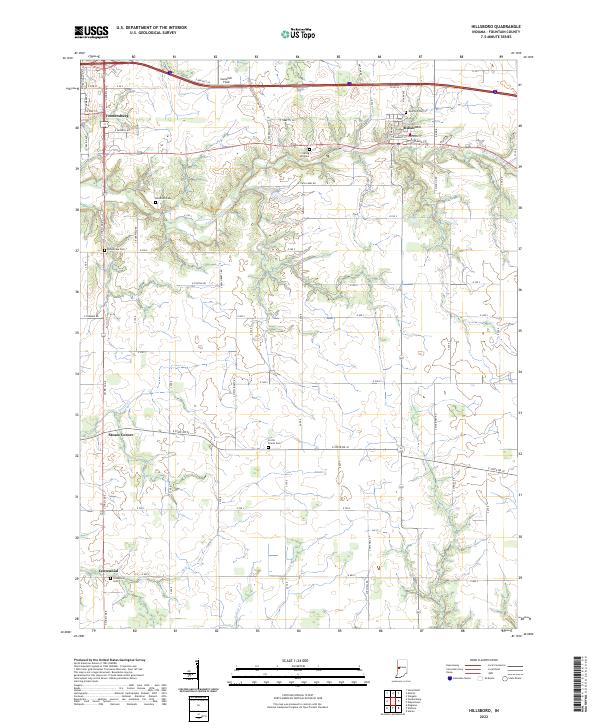
 1962 Hillsboro1964 Print · USGSFountain County agriculture and transport intersect in the early sixties as the New York Central railroad serves rural townships. Genealogists and local historians can locate several rural burial grounds and churches, including Rose Hill Cemetery and Scotts Prairie Ch.2 unique versions available
 - 1967 Map of Veedersburg, 1968 Print
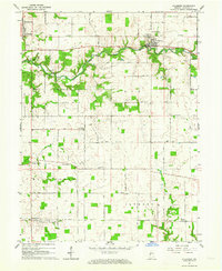
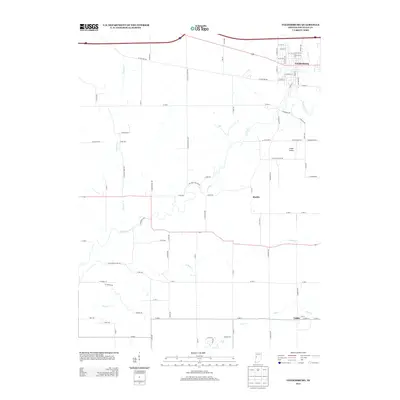
 1967 Veedersburg1968 Print · USGSFountain County life in the late sixties centers on the rail-and-creek network surrounding Veedersburg. Researchers can trace rural school sites like Rabb Sch and several country churches, including Snoddy Ch and Prairie Creek Ch.
 - 1984 Map of Danville, 1985 Print
 1984 Danville1985 Print · USGSEastern Illinois and western Indiana meet here in the mid-1980s, centered on the river forks and rail lines surrounding the industrial hub of Danville. Researchers can trace old transport routes and rural landmarks like Rossville Junction, Hope Ch, and the Univ of Ill Radio Telescope.
 - 1987 Map of Danville, 1994 Print
 1987 Danville1994 Print · USGSThe Illinois-Indiana borderlands thrived in the 1980s as a crossroads of rail commerce and river-fed agriculture. Genealogists and historians can trace the foundations of Danville and Covington while locating landmarks like Spring Hill Cemetery or the Vermilion County Courthouse.
 - 2010 Map of Hillsboro, 2010 Print
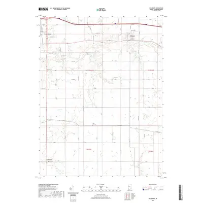
 2010 Hillsboro2010 Print · USGSCovers Veedersburg, including Hillsboro, Centennial, and other nearby areas
 - 2010 Map of Veedersburg, 2010 Print
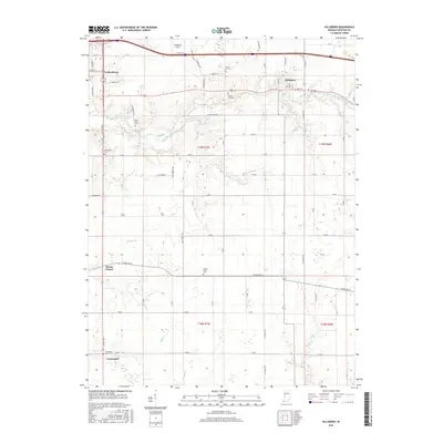
 2010 Veedersburg2010 Print · USGSCovers Veedersburg, including Mackie, Yeddo, and other nearby areas
 - 2013 Map of Veedersburg, 2013 Print
 2013 Veedersburg2013 Print · USGSCovers Veedersburg, including Mackie, Yeddo, and other nearby areas
 - 2013 Map of Hillsboro, 2013 Print
 2013 Hillsboro2013 Print · USGSCovers Veedersburg, including Hillsboro, Centennial, and other nearby areas
 - 2016 Map of Veedersburg, 2016 Print
 2016 Veedersburg2016 Print · USGSCovers Veedersburg, including Mackie, Yeddo, and other nearby areas
 - 2016 Map of Hillsboro, 2016 Print
 2016 Hillsboro2016 Print · USGSCovers Veedersburg, including Hillsboro, Centennial, and other nearby areas
 - 2019 Map of Hillsboro, 2019 Print
 2019 Hillsboro2019 Print · USGSCovers Veedersburg, including Hillsboro, Centennial, and other nearby areas
 - 2019 Map of Veedersburg, 2019 Print
 2019 Veedersburg2019 Print · USGSCovers Veedersburg, including Mackie, Yeddo, and other nearby areas
 - 2022 Map of Hillsboro, 2022 Print
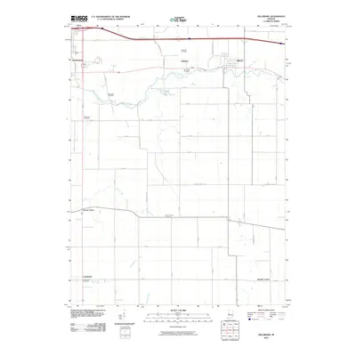
 2022 Hillsboro2022 Print · USGSWestern Indiana's rural character is preserved in this modern-era study of Fountain County's farming townships and small-town centers. Genealogists and local historians can locate numerous burial sites such as Rose Hill Cem and Spring Hill Cem or trace the early settlement footprints at Steam Corner and Centennial.
 - 2022 Map of Veedersburg, 2022 Print
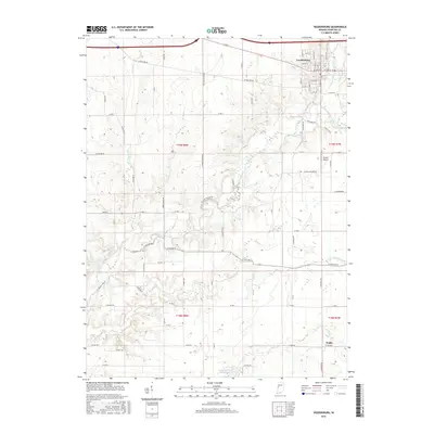
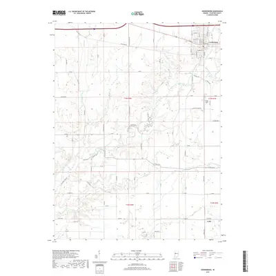
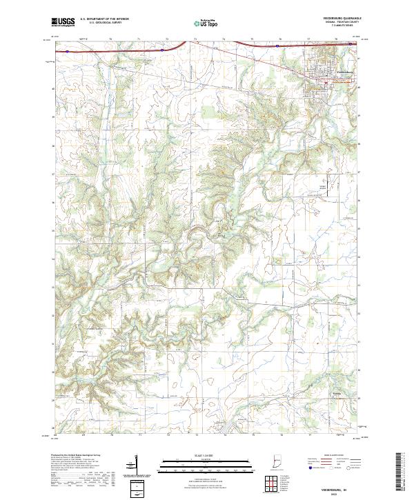 2022 Veedersburg2022 Print · USGSFountain County's rural heartland is documented here in the early twenty-first century, centered on the historic hub of Veedersburg. Researchers can trace the winding course of Coal Creek past Songer Airport or explore the southern reaches near the village of Yeddo.
End of results
Showing maps 1-18 of 18
Top cities near Veedersburg
- Attica historical maps
- Covington historical maps
- Eugene historical maps
- Williamsport historical maps
- Cayuga historical maps
- Waynetown historical maps
See more
Frequently asked questions
- What are the different types of historical maps available for Veedersburg?
- What is the oldest map of Veedersburg?
- Where can I purchase historical maps of Veedersburg for my home or office?
- Where can I download high-res historical maps of Veedersburg?
- Are there historical topographic maps available for Veedersburg?
- Is there historical aerial imagery available for Veedersburg?
- Where are historical maps of Veedersburg sourced from?