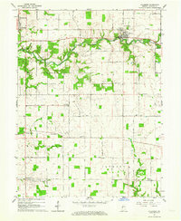
1962 Map of Hillsboro
USGS Topo · Published 1964About this map
Hillsboro serves as the focal point of this Fountain County landscape, situated where the New York Central railroad corridor crosses the winding path of Coal Creek. The map reveals a mid-century rural infrastructure defined by scattered crossroads settlements like Steam Corner and Centennial, alongside an extensive grid of numbered section roads. Small family and community landmarks are frequent, including several houses of worship such as Scotts Prairie Ch and New Liberty Ch.
Find a feature on this map
37 named features on this map. Tap any name to fly to it.
Don’t see what you’re looking for? This feature index may not catch every label — zoom into the map to look around manually.
Map Details
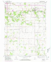
Editions of this 1962 Hillsboro Map
2 editions found
Other maps of this area

1948 · Wallace
USGS Topo · 1:24,000

1949 · Alamo
USGS Topo · 1:24,000

1953 · Danville
USGS Topo · 1:250,000

1953 · Indianapolis
USGS Topo · 1:250,000

1955 · Danville
USGS Topo · 1:250,000

1955 · Kingman
USGS Topo · 1:24,000

1956 · Danville
USGS Topo · 1:250,000

1956 · Indianapolis
USGS Topo · 1:250,000

1957 · Indianapolis
USGS Topo · 1:250,000

1958 · Stonebluff
USGS Topo · 1:24,000