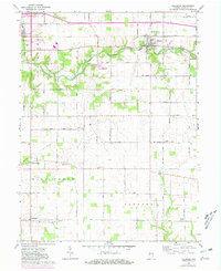
1962 Map of Hillsboro
USGS Topo · Published 1981About this map
Hillsboro and Veedersburg anchor this detailed study of eastern Fountain County, showing the region as it transitioned through the late mid-century. The landscape is defined by the winding course of East Fork Coal Creek and Mill Creek, which cut through the townships of Van Buren, Cain, and Jackson. A network of rural roads, including 50 South Road and 800 South Road, connects small communities and remote intersections like Steam Corner and Wooley Corner.
Find a feature on this map
35 named features on this map. Tap any name to fly to it.
Don’t see what you’re looking for? This feature index may not catch every label — zoom into the map to look around manually.
Map Details
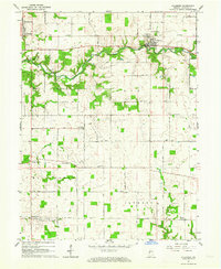
Editions of this 1962 Hillsboro Map
2 editions found
Other maps of this area

1948 · Wallace
USGS Topo · 1:24,000

1949 · Alamo
USGS Topo · 1:24,000

1953 · Danville
USGS Topo · 1:250,000

1953 · Indianapolis
USGS Topo · 1:250,000

1955 · Danville
USGS Topo · 1:250,000

1955 · Kingman
USGS Topo · 1:24,000

1956 · Danville
USGS Topo · 1:250,000

1956 · Indianapolis
USGS Topo · 1:250,000

1957 · Indianapolis
USGS Topo · 1:250,000

1958 · Stonebluff
USGS Topo · 1:24,000