Old Maps of Kokomo, Indiana for Academic Research
Study the evolution of Kokomo with 30 high-resolution historic maps. Whether you're teaching, researching, or modeling changes in land use, these maps provide essential visual documentation of urban, environmental, and geographic change.
- Analyze long-term change: Track patterns in development, transportation, and natural features.
- Ideal for environmental or urban studies: Support academic projects with primary historical map data.
- Use in the classroom or lab: Educators and researchers rely on these maps to bring historical context to life.
These maps are a powerful tool for teaching, research, and visualizing how Kokomo has changed over the decades.
Kokomo, IN maps
(30)- 1953 Map of Danville, 1965 Print
 1953 Danville1965 Print · USGSIndiana and Illinois crossroads come to life in this mid-century survey as the interstate era begins to reshape the river-and-rail landscape. Genealogists and collectors can trace the historic paths of the Nickel Plate railroad or locate smaller communities like Veedersburg, Goodland, and Bismarck.3 unique versions available
 - 1955 Map of Danville
 1955 Danville1955 Print · USGSThe Indiana-Illinois borderlands during the mid-fifties reveal a landscape of thriving rail hubs and university towns. Researchers can trace the legacy of Purdue University, the Tippecanoe Battlefield, and the path of the Pennsylvania RR.
 - 1956 Map of Danville
 1956 Danville1956 Print · USGSMid-century Indiana and Illinois are captured here as the river-and-rail economy evolved into the modern highway era. Researchers can trace ancestral roots and old transport lines through Logansport, Battle Ground, and the dams at Lake Shafer.
 - 1959 Map of Galveston, 1960 Print
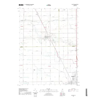
 1959 Galveston1960 Print · USGSGalveston and northern Howard County appear here in the late fifties, showcasing a landscape of railway-connected villages and tidy farm grids. Researchers can trace family history at Mt Zion Ch or locate old burial grounds like Sprinkle Cem and Rush Cem.3 unique versions available
 - 1959 Map of Miami, 1960 Print
 1959 Miami1960 Print · USGSThe borderlands of Miami and Howard County in the late fifties show a landscape of productive farm tracts and small rural hamlets. Researchers can trace family origins at Chitick Cemetery or Wawpecong, and follow the old Pennsylvania RR corridor.3 unique versions available
 - 1960 Map of Kokomo West, 1961 Print
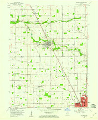
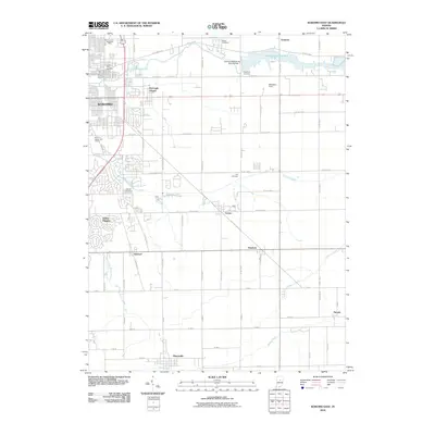
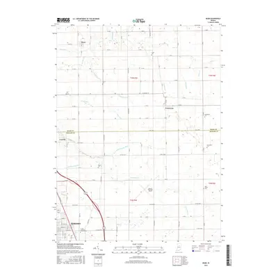
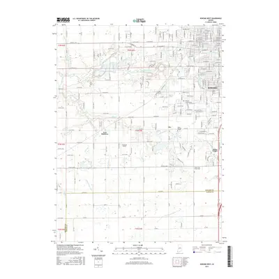
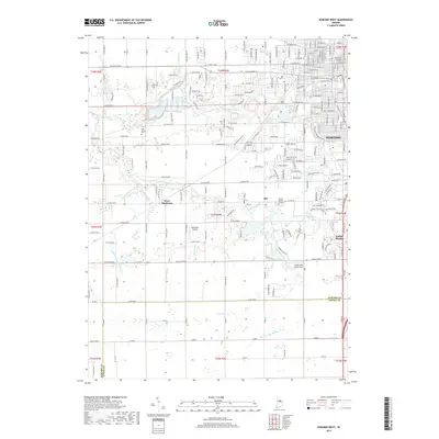
 1960 Kokomo West1961 Print · USGSThe western edge of Kokomo was undergoing steady post-war growth when this survey was conducted. Local researchers can trace family roots through landmarks like West Middleton, the Shiloh Church, and the New York Chicago and St Louis Railroad corridor.3 unique versions available
 - 1960 Map of Kokomo East, 1961 Print
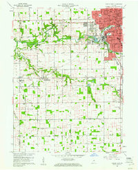
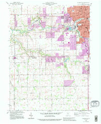
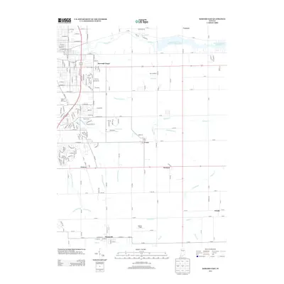
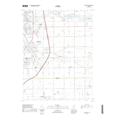
 1960 Kokomo East1961 Print · USGSThe Howard County countryside meets the rising industrial sprawl of Kokomo during the early sixties. Genealogists can trace family names and local landmarks through sites like Crown Point Cemetery, Darrough Chapel, and the rural Township Sch.3 unique versions available
 - 1984 Map of Lafayette, 1985 Print
 1984 Lafayette1985 Print · USGSNorth-central Indiana thrives in the 1980s as a hub of higher education, industry, and agriculture centered on the Wabash River. Genealogists and historians can locate family sites near Darrough Chapel, Oak Hill Cem, or the small crossroads of Thorntown and Colfax.2 unique versions available
 - 1985 Map of Logansport
 1985 Logansport1985 Print · USGSNorth-central Indiana in the mid-eighties shows a landscape of river-fed towns and significant military aviation hubs. Genealogists and local historians can trace the rail corridors of the Conrail or locate sites like River View Cem and the crossroads at Twelve Mile.2 unique versions available
 - 1992 Map of Kokomo West, 1995 Print
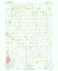
 1992 Kokomo West1995 Print · USGSHoward County's western outskirts and the growing city of Kokomo are captured here in the early nineties as suburban expansion met rural farmland. Researchers can trace local community roots through landmarks like West Middleton, Shiloh Ch, and the Western High Sch.
 - 2010 Map of Kokomo West, 2010 Print
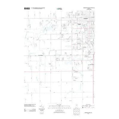
 2010 Kokomo West2010 Print · USGSCovers Kokomo, including West Middleton, Alto, and other nearby areas
 - 2010 Map of Galveston, 2010 Print
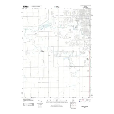
 2010 Galveston2010 Print · USGSCovers Kokomo, including Galveston, Lincoln, and other nearby areas
 - 2010 Map of Miami, 2010 Print
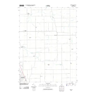 2010 Miami2010 Print · USGSCovers Kokomo, including Bennetts Switch, Cassville, and other nearby areas
 - 2010 Map of Kokomo East, 2010 Print
 2010 Kokomo East2010 Print · USGSCovers Kokomo, including Sharpsville, Hemlock, and other nearby areas
 - 2013 Map of Kokomo East, 2013 Print
 2013 Kokomo East2013 Print · USGSCovers Kokomo, including Sharpsville, Hemlock, and other nearby areas
 - 2013 Map of Miami, 2013 Print
 2013 Miami2013 Print · USGSCovers Kokomo, including Bennetts Switch, Cassville, and other nearby areas
 - 2013 Map of Galveston, 2013 Print
 2013 Galveston2013 Print · USGSCovers Kokomo, including Galveston, Lincoln, and other nearby areas
 - 2013 Map of Kokomo West, 2013 Print
 2013 Kokomo West2013 Print · USGSCovers Kokomo, including West Middleton, Alto, and other nearby areas
 - 2016 Map of Miami, 2016 Print
 2016 Miami2016 Print · USGSCovers Kokomo, including Bennetts Switch, Cassville, and other nearby areas
 - 2016 Map of Galveston, 2016 Print
 2016 Galveston2016 Print · USGSCovers Kokomo, including Galveston, Lincoln, and other nearby areas
 - 2016 Map of Kokomo East, 2016 Print
 2016 Kokomo East2016 Print · USGSCovers Kokomo, including Sharpsville, Hemlock, and other nearby areas
 - 2016 Map of Kokomo West, 2016 Print
 2016 Kokomo West2016 Print · USGSCovers Kokomo, including West Middleton, Alto, and other nearby areas
 - 2019 Map of Kokomo East, 2019 Print
 2019 Kokomo East2019 Print · USGSCovers Kokomo, including Sharpsville, Hemlock, and other nearby areas
 - 2019 Map of Galveston, 2019 Print
 2019 Galveston2019 Print · USGSCovers Kokomo, including Galveston, Lincoln, and other nearby areas
 - 2019 Map of Kokomo West, 2019 Print
 2019 Kokomo West2019 Print · USGSCovers Kokomo, including West Middleton, Alto, and other nearby areas
Showing maps 1-25 of 30
Top cities near Kokomo
- Tipton historical maps
- Greentown historical maps
- Galveston historical maps
- Russiaville historical maps
- Bunker Hill historical maps
- Forest historical maps
See more
Top neighborhoods of Kokomo
- Alto historical maps
- Darrough Chapel historical maps
- Indian Heights historical maps
- Oakford historical maps
Frequently asked questions
- What are the different types of historical maps available for Kokomo?
- What is the oldest map of Kokomo?
- Where can I purchase historical maps of Kokomo for my home or office?
- Where can I download high-res historical maps of Kokomo?
- Are there historical topographic maps available for Kokomo?
- Is there historical aerial imagery available for Kokomo?
- Where are historical maps of Kokomo sourced from?