2010s Maps of Jackson County, Indiana
Explore 68 historic maps of Jackson County from the 2010s. These maps offer a rare glimpse into what life looked like during the 2010s — showing old roads, neighborhoods, homes, and landmarks that have changed or disappeared over time.
Whether you're researching your family's past, planning a metal detecting trip, or studying how Jackson County's landscape evolved across the 2010s, these high-resolution maps are a powerful tool for exploring the history of this region.
- Focus on a specific era: All maps on this page are from the 2010s, giving you a focused view of this time period.
- See what’s changed: Compare century-old streets, trails, and buildings to today's modern landscape using overlays and satellite layers.
- Research with precision: Use these maps for genealogy, historical research, land use analysis, or educational projects.
- View, download, or print: Maps are fully viewable online in high resolution, and can be downloaded or printed for your own records.
Start exploring Jackson County's history through authentic maps from the 2010s. This is your window into the past.
Jackson County, IN maps
(68)- 2010 Map of Tampico, 2010 Print
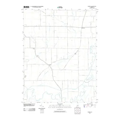 2010 Tampico2010 Print · USGSSouthern Jackson County in the early twenty-first century is a landscape of complex river forks and reclaimed farmland. Genealogists and local researchers can trace the vicinity of Tampico and Dudleytown, locating family landmarks like Lubker Cemetery and Rucker Cemetery.
 - 2010 Map of Little York, 2010 Print
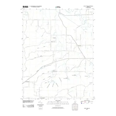 2010 Little York2010 Print · USGSLittle York and its neighboring settlements are shown here in the early twenty-first century amidst a landscape of deep hollows and rural crossroads. Genealogists can trace family-named terrain like Rutherford Hollow and Vic Swaim Hill or locate homes near Pumpkin Center and Gooseport.
 - 2010 Map of Seymour, 2010 Print
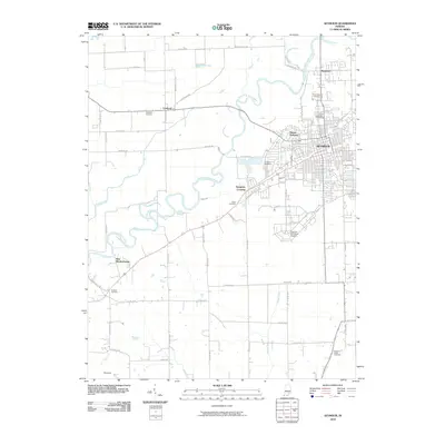 2010 Seymour2010 Print · USGSThe city of Seymour and the winding East Fork White River are captured here in the early twenty-first century. Researchers can trace local lineage through numerous burial sites like Riverview Cemetery or explore the layout of Freeman Municipal Airport.
 - 2010 Map of Tunnelton, 2010 Print
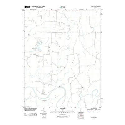 2010 Tunnelton2010 Print · USGSLawrence County, Indiana, in the early 2000s remains a land of river bends and high ridges. Researchers can trace rural settlement patterns at Tunnelton and Fort Ritner, or locate family history at Sherrill Cemetery and the notable Devils Backbone ridge.
 - 2010 Map of Jonesville, 2010 Print
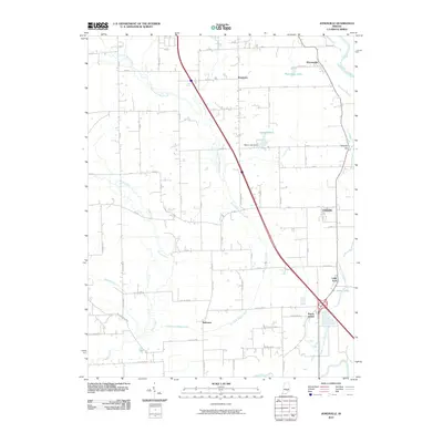 2010 Jonesville2010 Print · USGSBartholomew County at the start of the 2010s reveals a patchwork of river-fed lowlands and established rural settlements. Family historians can trace localized communities like Rosstown, Bobtown, and Peters Switch alongside the East Fork White River.
 - 2010 Map of Scottsburg, 2010 Print
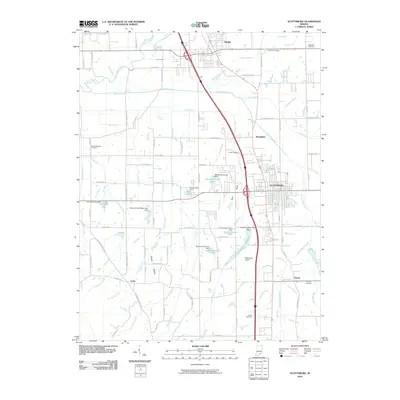 2010 Scottsburg2010 Print · USGSScott County enters the twenty-first century with its agricultural roots and small-town centers well-preserved. Family historians can trace local sites like Whitson Cemetery, the community at Leota, and the Rail Run corridor near Vienna.
 - 2010 Map of Chestnut Ridge, 2010 Print
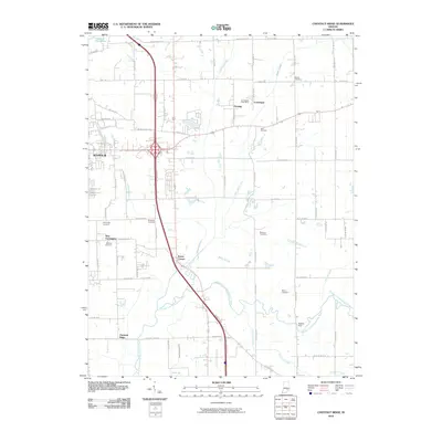 2010 Chestnut Ridge2010 Print · USGSIndiana's rural landscape south of Seymour is captured here in the early twenty-first century as modern roads intersect with historic river crossings. Genealogists can trace family sites at Wohrer Cemetery and Gardner Cemetery, or locate the Conologue Post Office.
 - 2010 Map of Crothersville, 2010 Print
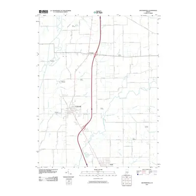 2010 Crothersville2010 Print · USGSCrothersville and the Muscatatuck River valley are captured in detail during the early twenty-first century as the region balanced its rural roots with modern transit. Researchers can locate numerous family burial sites like Bedel Cemetery and Gorrell Cemetery or trace the early paths of Retreat and Uniontown.
 - 2010 Map of Vallonia, 2010 Print
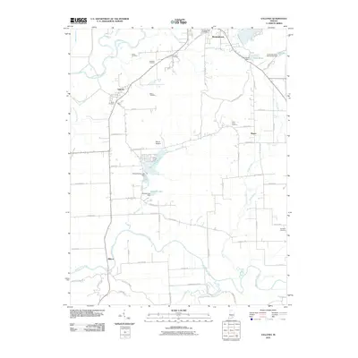 2010 Vallonia2010 Print · USGSJackson County at the start of the 2010s reveals a landscape of river-bottom farms and rural hamlets linked by a dense network of county roads. Researchers can locate numerous family and community landmarks like Peters Cemetery, Saint Pauls Cemetery, and the Starve Hollow Lake Dam.
 - 2010 Map of Azalia, 2010 Print
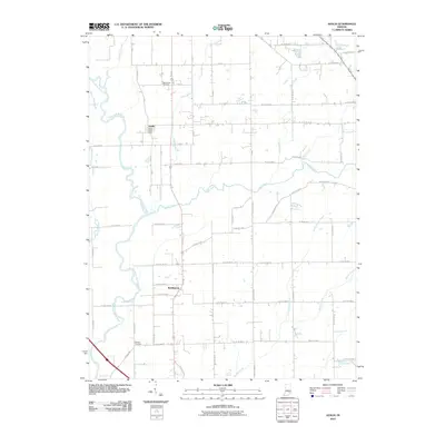 2010 Azalia2010 Print · USGSThe Bartholomew and Jackson County line comes alive in this 2010 study of rural Indiana settlement and drainage. Genealogists and local researchers can pinpoint the Azalia Post Office, Sand Creek Cemetery, and Glasson Cemetery along the banks of the East Fork White River.
 - 2010 Map of Medora, 2010 Print
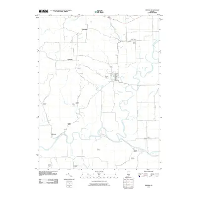 2010 Medora2010 Print · USGSJackson County at the start of the decade shows a landscape shaped by the East Fork White River and its many hollows. Researchers can trace family sites at Hinderlider Cemetery, Shoemaker Cemetery, and Pleasantville.
 - 2010 Map of Norman, 2010 Print
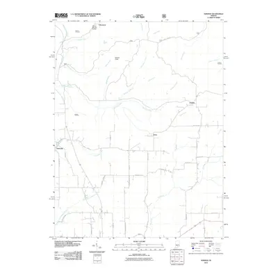 2010 Norman2010 Print · USGSSouthern Indiana rural life is captured here in the early twenty-first century, centered on the crossroads of Heltonville and Norman. Researchers can trace local history through family-named sites like Mitchell Ridge, Callahan Cemetery, and the Mundell Church.
 - 2010 Map of Brownstown, 2010 Print
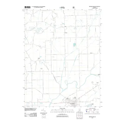 2010 Brownstown2010 Print · USGSJackson County at the start of the 2010s shows a structured landscape of established townships and river-valley farming. Genealogists can trace family roots through sites like Wayman Cemetery or explore small rural hubs such as Surprise and Shields.
 - 2011 Map of Waymansville, 2011 Print
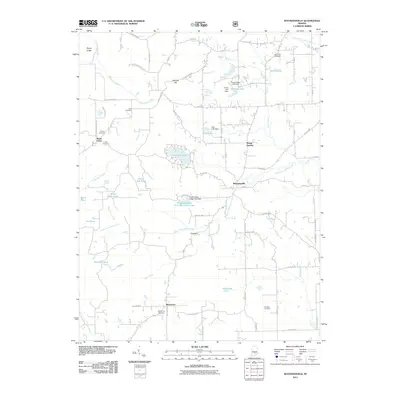 2011 Waymansville2011 Print · USGSBartholomew County’s rural communities are documented in this 2011 survey during a period of modern growth among traditional settlements. Genealogists can trace local roots at Saint Paul Cemetery, Beck Cemetery, and the community of Waymansville.
 - 2011 Map of Elkinsville, 2011 Print
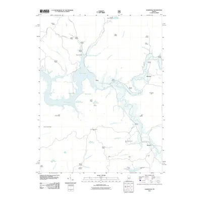 2011 Elkinsville2011 Print · USGSThe hills of Brown County are captured here in the early twenty-first century as Monroe Lake reaches into the winding hollows near Elkinsville. Genealogists and local historians can trace family landmarks like Robinson Cemetery, the Hickory Ridge Lookout Tower, and the settlement at Maumee.
 - 2011 Map of Story, 2011 Print
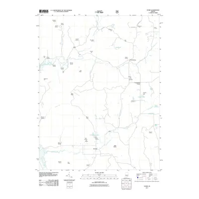 2011 Story2011 Print · USGSIn this early twenty-first-century view of southern Indiana, the valleys of Story and Houston reveal a landscape deeply rooted in family history. Genealogists and researchers can trace lineage through the Moffitt and Waggoner cemeteries or explore landmarks like Cherry Hill Airport.
 - 2011 Map of Kurtz, 2011 Print
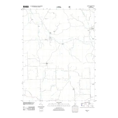 2011 Kurtz2011 Print · USGSJackson County rural life is captured here in the early twenty-first century, centered on the small communities of Kurtz, Freetown, and Clear Spring. Researchers can trace local family history through numerous burial sites like Cornett Cemetery, Bagwell Cemetery, and Lucas Cemetery.
 - 2013 Map of Medora, 2013 Print
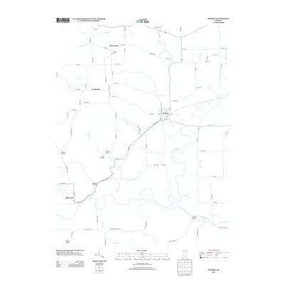 2013 Medora2013 Print · USGSJackson County rural life and river geography are on full display in the early twenty-first century, centered on the town of Medora. Researchers can trace old family landmarks and local drainages through Pleasantville, Fleene Ridge, and the E Fork White River bottomlands.
 - 2013 Map of Vallonia, 2013 Print
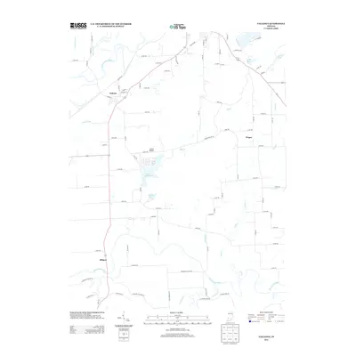 2013 Vallonia2013 Print · USGSSouthern Indiana's river-bottom lands are captured here in the early twenty-first century, bounded by the E Fork White River and Muscatatuck River. Genealogists and local historians can trace the roads connecting Vallonia, Wegan, and Millport or locate family sites near Starve Hollow Lake.
 - 2013 Map of Tunnelton, 2013 Print
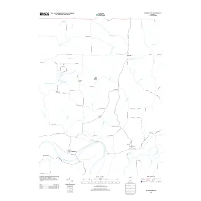 2013 Tunnelton2013 Print · USGSLawrence County, Indiana, in the early twenty-first century remains defined by its steep ridges and the path of the E Fork White River. Genealogists and local historians can trace family locations near the Devils Backbone and the old river towns of Tunnelton and Fort Ritner.
 - 2013 Map of Kurtz, 2013 Print
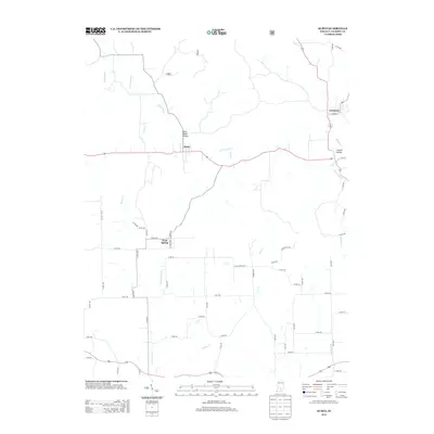 2013 Kurtz2013 Print · USGSJackson County rural life in the early twenty-first century is centered on the small crossroads of Kurtz and Clear Spring. Genealogists and local historians can trace family land proximity to landmarks like Blind Horse Hollow, Hound Hollow, and Guthrie Cr.
 - 2013 Map of Norman, 2013 Print
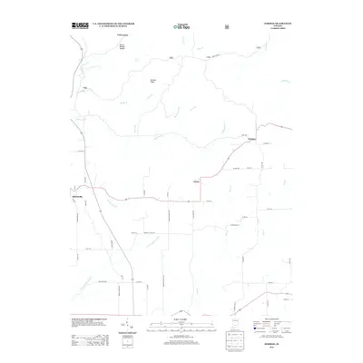 2013 Norman2013 Print · USGSLawrence County, Indiana, is shown here as it appeared in the early 21st century, centered on the communities of Heltonville and Zelma. You can trace historical rural routes and landmarks like Mundell Church Rd, Brown Station Rd, and the uniquely named Dennis Murphy Hollow.
 - 2013 Map of Azalia, 2013 Print
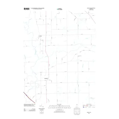 2013 Azalia2013 Print · USGSSoutheastern Indiana farmland meets the meandering E Fork White River in the early twenty-first century. Genealogists and local historians can trace the rural landscape surrounding Azalia and Reddington, following creeks like Sand Cr and Thompson Slough.
 - 2013 Map of Tampico, 2013 Print
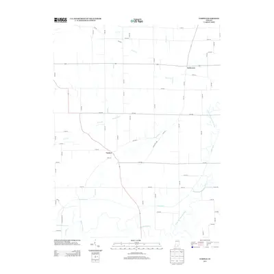 2013 Tampico2013 Print · USGSJackson County's agricultural heartland is documented here in the early twenty-first century, showing the enduring layouts of Tampico and Dudleytown. Researchers can trace the intricate local drainage network from Horse Lick down to the Muscatatuck River.
 - 2013 Map of Chestnut Ridge, 2013 Print
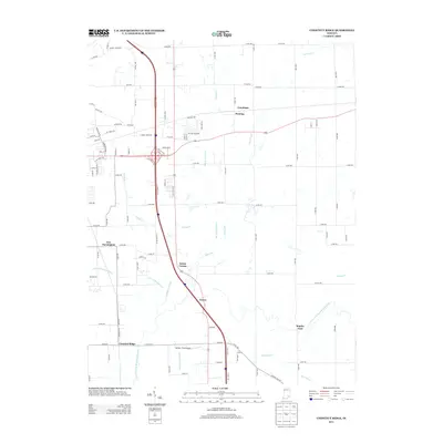 2013 Chestnut Ridge2013 Print · USGSJackson County in the early 2010s shows a landscape where historic river crossings and small hamlets meet modern interstate commerce. Genealogists and historians can trace the footprint of Newry, Staples Ford, and rural drainage systems like Luther McDonald Ditch.
Showing maps 1-25 of 68
Top cities of Jackson County
- Seymour historical maps
- Brownstown historical maps
- Crothersville historical maps
- Medora historical maps
Frequently asked questions
- What are the different types of historical maps available for Jackson County?
- What is the oldest map of Jackson County?
- Where can I purchase historical maps of Jackson County for my home or office?
- Where can I download high-res historical maps of Jackson County?
- Are there historical topographic maps available for Jackson County?
- Is there historical aerial imagery available for Jackson County?
- Where are historical maps of Jackson County sourced from?