2020s Maps of Jackson County, Indiana
Explore 17 historic maps of Jackson County from the 2020s. These maps offer a rare glimpse into what life looked like during the 2020s — showing old roads, neighborhoods, homes, and landmarks that have changed or disappeared over time.
Whether you're researching your family's past, planning a metal detecting trip, or studying how Jackson County's landscape evolved across the 2020s, these high-resolution maps are a powerful tool for exploring the history of this region.
- Focus on a specific era: All maps on this page are from the 2020s, giving you a focused view of this time period.
- See what’s changed: Compare century-old streets, trails, and buildings to today's modern landscape using overlays and satellite layers.
- Research with precision: Use these maps for genealogy, historical research, land use analysis, or educational projects.
- View, download, or print: Maps are fully viewable online in high resolution, and can be downloaded or printed for your own records.
Start exploring Jackson County's history through authentic maps from the 2020s. This is your window into the past.
Jackson County, IN maps
(17)- 2022 Map of Azalia, 2022 Print
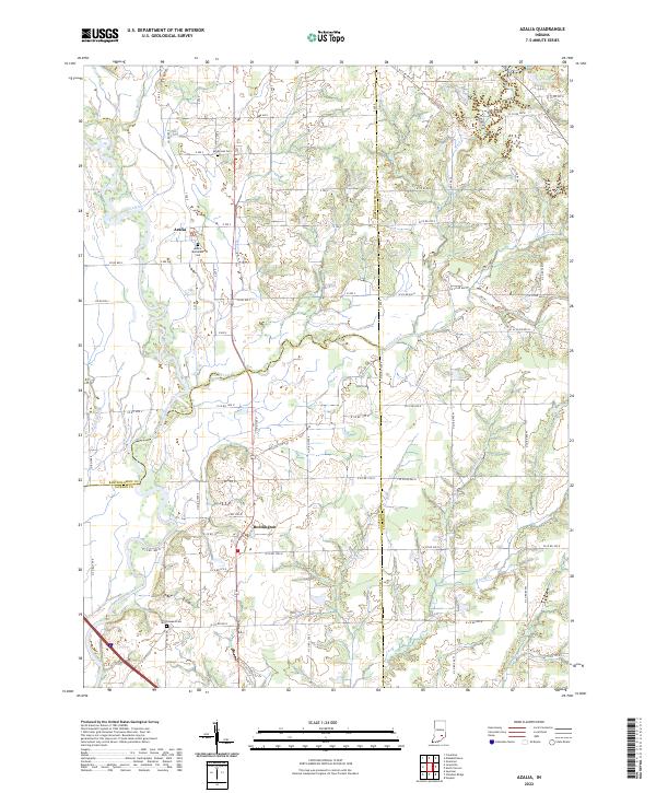 2022 Azalia2022 Print · USGSThe Bartholomew and Jennings County borderlands are mapped here in the early 2020s, showing a rural landscape defined by the East Fork White River. Genealogists can locate Sandcreek Cem and Glasson Cem among the farms near Azalia.
 - 2022 Map of Kurtz, 2022 Print
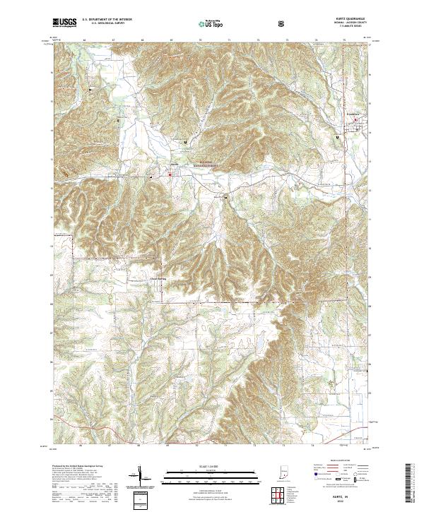 2022 Kurtz2022 Print · USGSJackson County’s wooded uplands and creek valleys are captured here in the early twenty-first century as the forest reclaimed much of the old farm country. Genealogists can locate several remote burial grounds like Hanner Cem and Bagwell Cem near the Hoosier National Forest boundary.
 - 2022 Map of Medora, 2022 Print
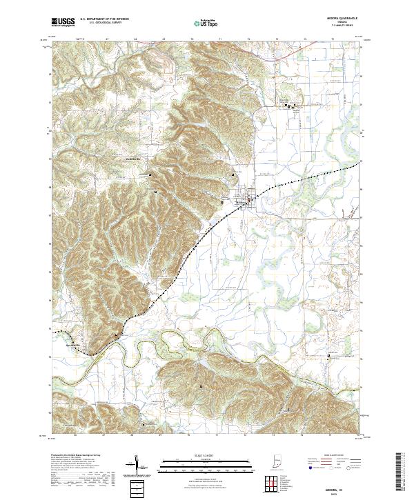 2022 Medora2022 Print · USGSMedora and the surrounding Jackson County river valleys are shown here in the early 2020s, highlighting the area's complex drainage and ridge topography. Genealogists can locate several family cemeteries, including Lanning Spur Cem, Shoemaker Cem, and Pollock Cem.
 - 2022 Map of Story, 2022 Print
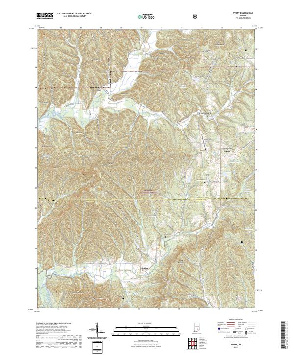 2022 Story2022 Print · USGSSouthern Indiana's forested hills and small rural settlements are documented here during the early twenty-first century. Genealogists and local historians can trace family locations near Story and Houston, or find burial sites at Melott Cem and Thompson Cem.
 - 2022 Map of Waymansville, 2022 Print
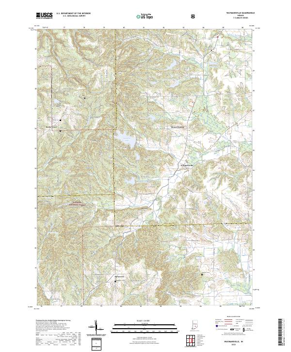 2022 Waymansville2022 Print · USGSBartholomew and Jackson Counties are shown here during the early 2020s, where the rural settlements of the Indiana hills meet the Hoosier National Forest. Genealogists can trace family landmarks and burial sites like Saint Paul Cem, Becks Grove Cem, and the historic crossroads at Spraytown.
 - 2022 Map of Jonesville, 2022 Print
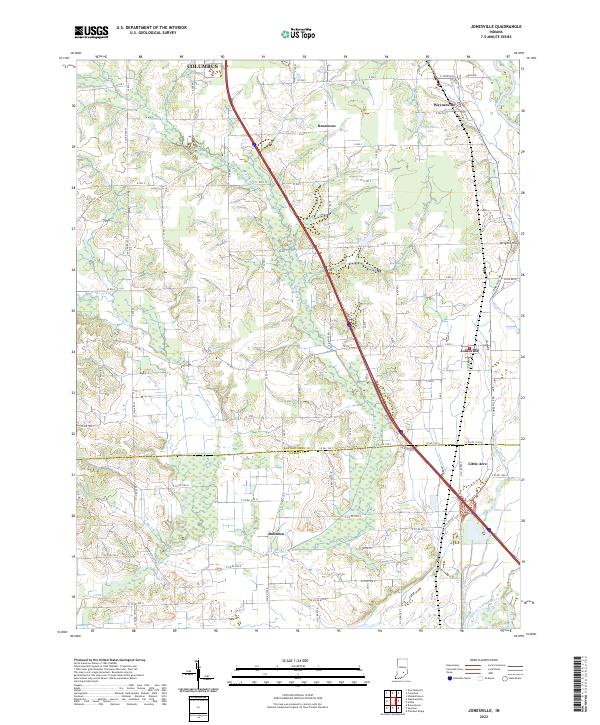 2022 Jonesville2022 Print · USGSThe borderlands of Bartholomew and Jackson counties are captured here in the early twenty-first century. Genealogists and local historians can trace family land and rural intersections near Jonesville, Bobtown, and the banks of the East Fork White River.
 - 2022 Map of Norman, 2022 Print
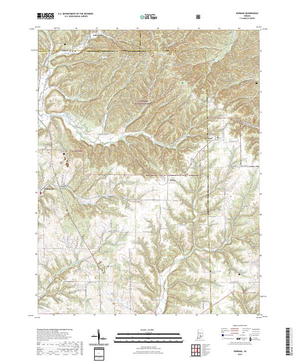 2022 Norman2022 Print · USGSLawrence and Jackson Counties are shown here during the early 2020s, featuring the deeply dissected ridges of the Hoosier National Forest. Family historians can locate several rural burial grounds such as Mitchell Cemetery and Faubion Cemetery near the communities of Norman and Zelma.
 - 2022 Map of Little York, 2022 Print
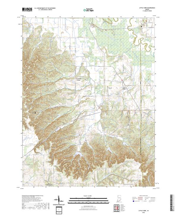 2022 Little York2022 Print · USGSLittle York and New Philadelphia are shown in this modern survey of the Indiana countryside as it appeared recently. Genealogists and hikers can trace the Knobstone Trail across the ridges or locate family burial sites at Ridlen Cemetery and Steep Hollow Cemetery.
 - 2022 Map of Brownstown, 2022 Print
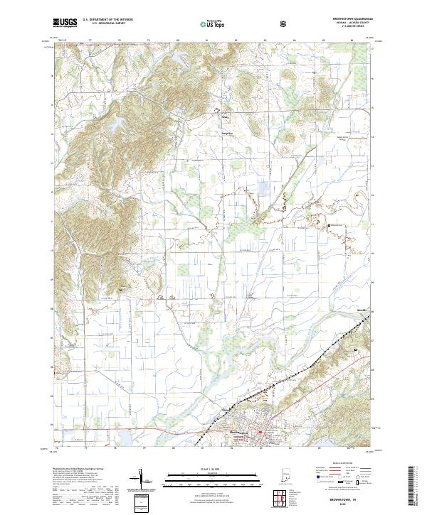 2022 Brownstown2022 Print · USGSJackson County at the start of the 2020s shows a landscape defined by the winding East Fork White River and the seat of local government. Researchers can trace historic family burials at Wayman Cemetery and explore the rural settlements of Surprise and Acme.
 - 2022 Map of Crothersville, 2022 Print
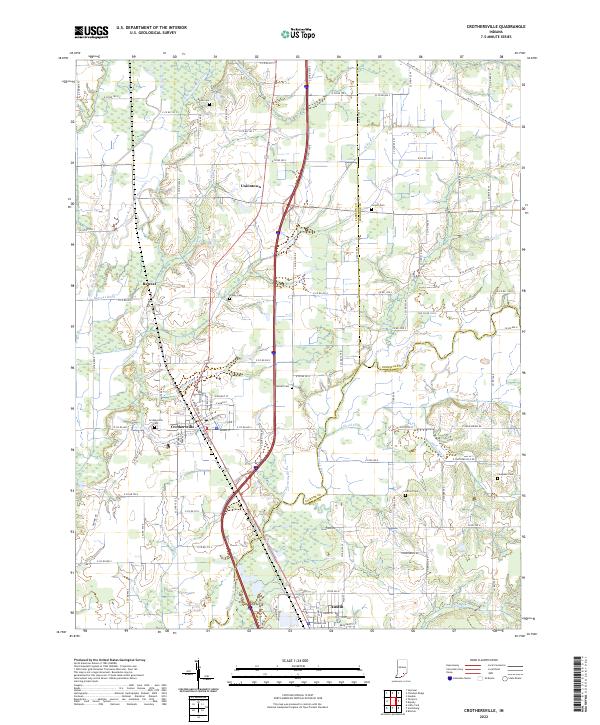 2022 Crothersville2022 Print · USGSSouthern Indiana's agricultural heartland is documented here as it appeared in the early 2020s, centered on the communities of Crothersville and Austin. Genealogists and local historians can trace family locations near Gorrell Cem, Uniontown, and Grassy Cem.
 - 2022 Map of Tampico, 2022 Print
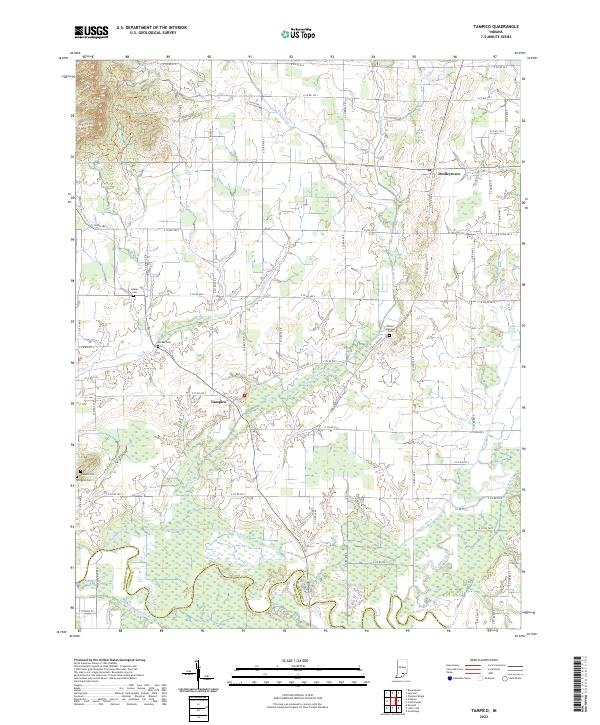 2022 Tampico2022 Print · USGSJackson County agricultural life and water management are front and center in this recent survey of the Indiana countryside. Genealogists can locate family names at Mount Pleasant Cem and Lubker Cem or trace the legacy of drainage at Smart Ditch.
 - 2022 Map of Vallonia, 2022 Print
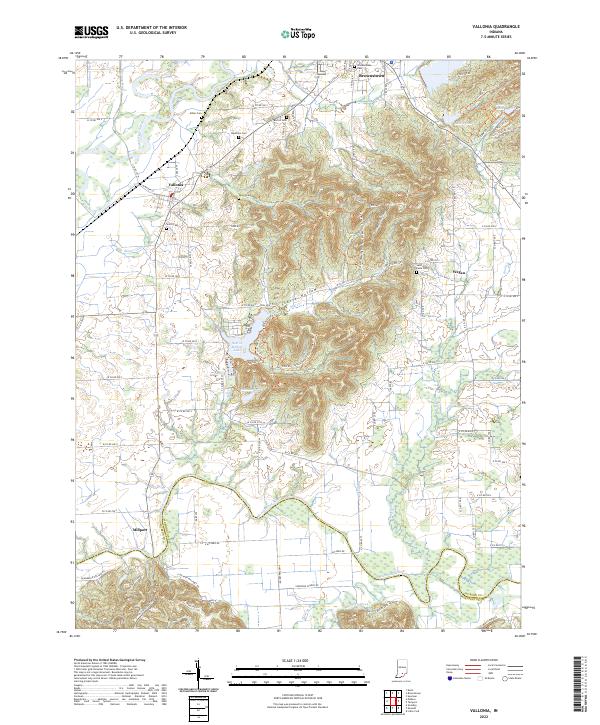 2022 Vallonia2022 Print · USGSVallonia and the river bottoms of southern Indiana are shown here in the early 2020s, highlighting the area's deep agricultural roots. Researchers can trace rural lineages through numerous local sites like Miller Cem, Saint Pauls Cem, and the old settlement at Millport.
 - 2022 Map of Seymour, 2022 Print
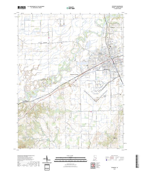 2022 Seymour2022 Print · USGSJackson County is captured in the early 2020s, showing the established city of Seymour alongside the agricultural plains of the East Fork White River. Researchers can locate several burial sites like Riverview Cem and Crane Cem, or trace the development of Rockford and Cortland.
 - 2022 Map of Tunnelton, 2022 Print
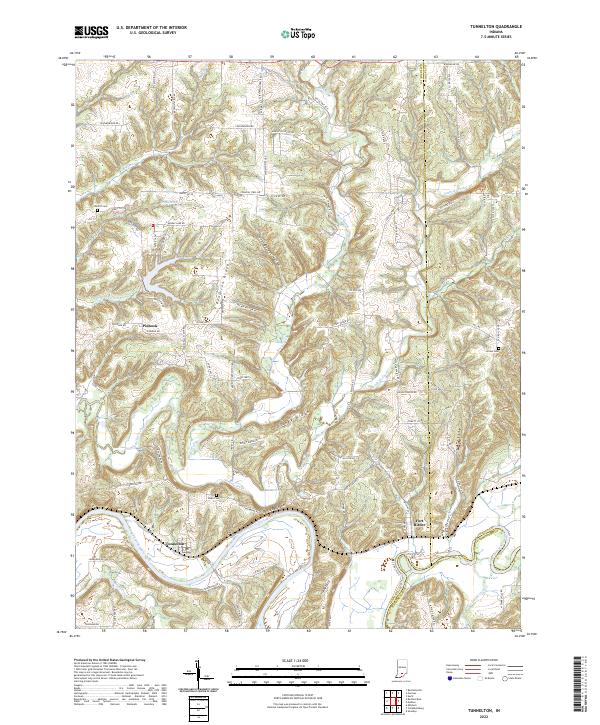 2022 Tunnelton2022 Print · USGSLawrence County at the start of the 2020s shows a landscape deeply defined by the East Fork White River and its rail history. Researchers can trace the B & O RR through Tunnelton and find local landmarks like Devils Backbone and Dodd Cem.
 - 2022 Map of Elkinsville, 2022 Print
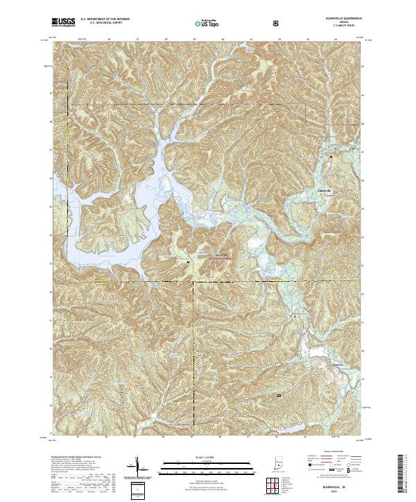 2022 Elkinsville2022 Print · USGSSouthern Indiana's ridges and valleys are mapped here in the early 2020s, showing the intersection of three counties within the Hoosier National Forest. Researchers can trace old family sites and rural settlements like Maumee and Elkinsville, or locate Terrill Cemetery and Robertson Cemetery.
 - 2022 Map of Scottsburg, 2022 Print
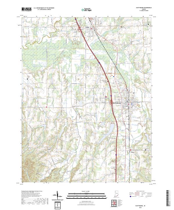 2022 Scottsburg2022 Print · USGSScott County enters the 2020s as a vital crossroads of rail and river in southern Indiana. Genealogists and researchers can locate family landmarks like the Scott County Courthouse or several community burial sites, including Everitt Cem and Spurgeon Cem.
 - 2022 Map of Chestnut Ridge, 2022 Print
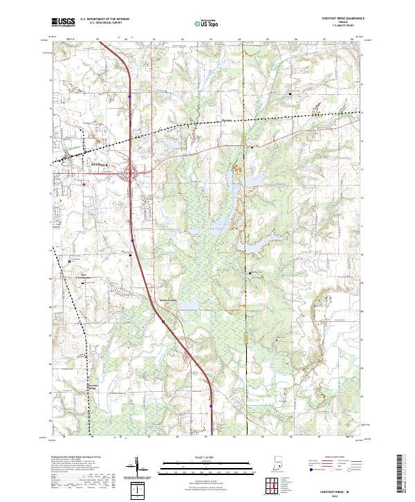 2022 Chestnut Ridge2022 Print · USGSThe outskirts of Seymour and the rural stretches of Jackson County are captured here in the early 2020s. Genealogists and local researchers can locate numerous family-named burial sites like Gardner Cem and Myers Cem, or trace the path of the Vernon Fork Muscatatuck River.
End of results
Showing maps 1-17 of 17
Top cities of Jackson County
- Seymour historical maps
- Brownstown historical maps
- Crothersville historical maps
- Medora historical maps
Frequently asked questions
- What are the different types of historical maps available for Jackson County?
- What is the oldest map of Jackson County?
- Where can I purchase historical maps of Jackson County for my home or office?
- Where can I download high-res historical maps of Jackson County?
- Are there historical topographic maps available for Jackson County?
- Is there historical aerial imagery available for Jackson County?
- Where are historical maps of Jackson County sourced from?