Old Maps of Peters Switch, Indiana for Hiking & Exploration
Hike through history with 11 historic maps of Peters Switch. Explore old trails, ghost towns, and forgotten backroads — perfect for outdoor adventurers and local explorers.
- Rediscover forgotten places: Map out old mining camps, roads, and footpaths that no longer exist on modern maps.
- Layer with modern tools: Combine with LiDAR or satellite views to plan hikes through historical terrain.
- Made for exploration: Popular among hikers, overlanders, and local history lovers.
Use these maps to find adventure and explore the hidden past of Peters Switch.
Peters Switch, IN maps
(11)- 1942 Map of Columbus
 1942 Columbus1942 Print · USGSBartholomew and Shelby counties are shown during the early years of the war, as military installations and rail lines reshaped the rural Indiana landscape. Genealogists can trace family-named sites and established communities like St Louis Crossing, Hope, and the sprawling Camp Atterbury.
 - 1953 Map of Cincinnati, 1965 Print
 1953 Cincinnati1965 Print · USGSThe Ohio River valley and the industrial heartland of Indiana and Ohio are captured here during the mid-century peak of rail and river commerce. Genealogists and historians can trace connections between Cincinnati and outlying military sites like Camp Atterbury and Bakalar AFB.3 unique versions available
 - 1957 Map of Cincinnati
 1957 Cincinnati1957 Print · USGSThe Ohio River valley and its surrounding highlands thrived during the mid-fifties industrial peak, centered on the bustling Cincinnati and Dayton metropolitan hubs. Researchers can trace the extensive rail networks and military sites like Wright-Patterson AFB and Camp Atterbury.
 - 1957 Map of Jonesville, 1958 Print
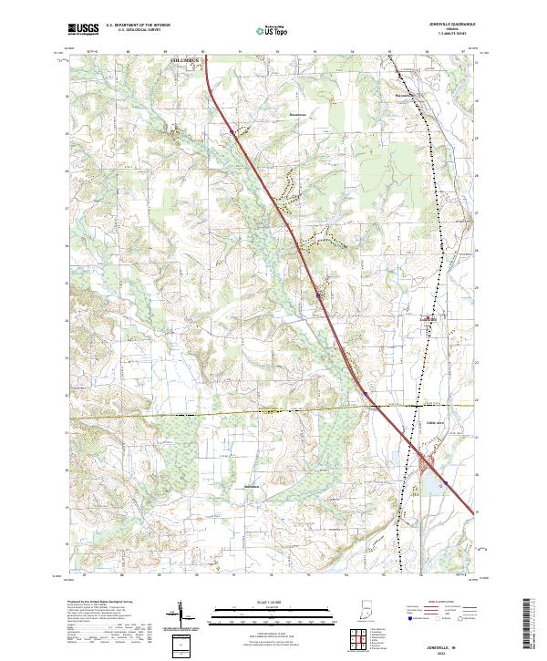
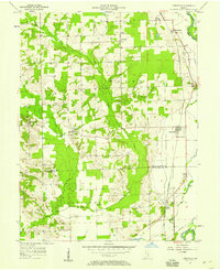 1957 Jonesville1958 Print · USGSMid-century Bartholomew County and Jackson County life revolves around the East Fork White River and the local rail line. Genealogists and historians can trace the foundations of Jonesville and Waynesville or locate landmarks like Walker Chapel and St Johns Sch Cem.
 - 1962 Map of Jonesville, 1965 Print
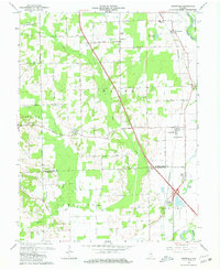 1962 Jonesville1965 Print · USGSBartholomew and Jackson Counties are captured in the early sixties as rural life centered on the river forks and the rail line. Genealogists can locate old homesteads near Walker Chapel, the Township Sch, and the riverside cluster at Little Acre.5 unique versions available
 - 1986 Map of Greensburg
 1986 Greensburg1986 Print · USGSSoutheastern Indiana in the mid-eighties shows a balance of growing industrial centers and deeply rooted rural communities. Family historians can trace landmarks like the Highland Center School, South Park Cemetery, and the Bartholomew County Courthouse among the river forks.2 unique versions available
 - 2010 Map of Jonesville, 2010 Print
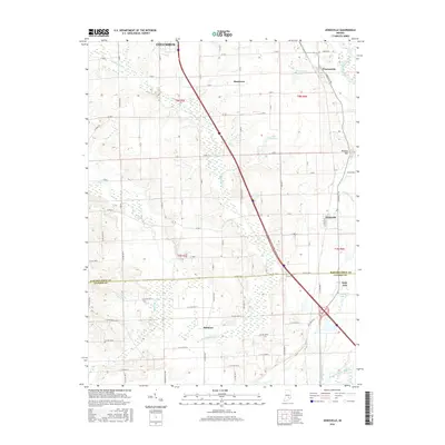
 2010 Jonesville2010 Print · USGSCovers Peters Switch, including Columbus, Jonesville, and other nearby areas
 - 2013 Map of Jonesville, 2013 Print
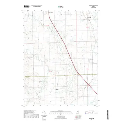
 2013 Jonesville2013 Print · USGSCovers Peters Switch, including Columbus, Jonesville, and other nearby areas
 - 2016 Map of Jonesville, 2016 Print
 2016 Jonesville2016 Print · USGSCovers Peters Switch, including Columbus, Jonesville, and other nearby areas
 - 2019 Map of Jonesville, 2019 Print
 2019 Jonesville2019 Print · USGSCovers Peters Switch, including Columbus, Jonesville, and other nearby areas
 - 2022 Map of Jonesville, 2022 Print
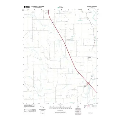
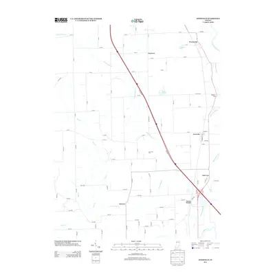
 2022 Jonesville2022 Print · USGSThe borderlands of Bartholomew and Jackson counties are captured here in the early twenty-first century. Genealogists and local historians can trace family land and rural intersections near Jonesville, Bobtown, and the banks of the East Fork White River.
End of results
Showing maps 1-11 of 11
Top cities near Peters Switch
- Columbus historical maps
- Seymour historical maps
- Brownstown historical maps
- Crothersville historical maps
- Elizabethtown historical maps
- Jonesville historical maps
Frequently asked questions
- What are the different types of historical maps available for Peters Switch?
- What is the oldest map of Peters Switch?
- Where can I purchase historical maps of Peters Switch for my home or office?
- Where can I download high-res historical maps of Peters Switch?
- Are there historical topographic maps available for Peters Switch?
- Is there historical aerial imagery available for Peters Switch?
- Where are historical maps of Peters Switch sourced from?