Old Maps of Vincennes, Indiana for Genealogy
Trace your family roots with 22 historic maps of Vincennes. These high-res maps reveal old neighborhoods, homesites, landmarks, and streets — helping you uncover where your ancestors lived and how the area evolved over time.
- Explore historic neighborhoods: Identify where your relatives may have lived in the 1800s or 1900s.
- Compare maps over time: Trace the changes in streets, buildings, and landmarks for multi-generational research.
- Perfect for genealogy & ancestry research: Used by family historians and researchers to map out lineage and migration.
These maps are an incredible resource for exploring your personal connection to Vincennes's past.
Vincennes, IN maps
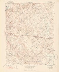
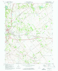
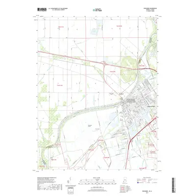
(22)- 1915 Map of Vincennes
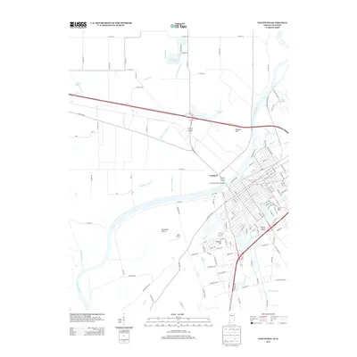
 1915 Vincennes1915 Print · USGSThe Wabash River valley comes to life in this early twentieth-century survey of the Illinois-Indiana border. Genealogists can trace family roots through numerous rural landmarks like St Francisville, the Sand Barrens School, and Adams Corners.5 unique versions available
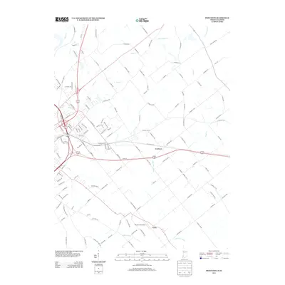
 - 1942 Map of Fritchton
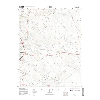
 1942 Fritchton1942 Print · USGSKnox County farmland and the eastern edge of Vincennes are captured in the early 1940s as a hub of rail transit and community institutions. Researchers can locate historic local landmarks like the St Vincent Orphanage, Fritchton Cem, and the Julian Mine.2 unique versions available
 - 1944 Map of Fritchton
 1944 Fritchton1944 Print · USGSKnox County during the mid-1940s is captured here as a crossroads of major railroads and farming townships just east of the Wabash. Local historians can trace the foundations of the community at the St Vincent Orphanage or follow the legacy of the Julian Mine and Royal Oak Ch.2 unique versions available
 - 1944 Map of Vincennes, 1958 Print
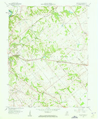
 1944 Vincennes1958 Print · USGSThe Wabash River valley during the mid-1940s reveals a landscape of river-town commerce and rural school districts. Genealogists can trace family roots through numerous sites like St Thomas church, the Bunker Hill School, and the small settlement at Billett.
 - 1956 Map of Vincennes, 1967 Print
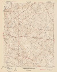
 1956 Vincennes1967 Print · USGSSouthern Indiana and the Illinois borderlands are captured here in the mid-fifties, showing the region's dense network of river towns and rail lines. Researchers can trace historic river crossings along the Wabash River or locate landmarks like Wyandotte Cave and Lincoln State Park.4 unique versions available
 - 1957 Map of Vincennes
 1957 Vincennes1957 Print · USGSSouthwest Indiana and the Illinois borderlands come alive in the late 1950s, a period of heavy rail traffic and expanding state forests. Genealogists and historians can trace the riverfronts and rail lines of Vincennes, New Harmony, and the vast Crane Naval Ammunition Depot.
 - 1958 Map of Vincennes
 1958 Vincennes1958 Print · USGSSouthern Indiana and the Illinois borderlands are captured during a mid-century period of heavy rail traffic and military activity. Researchers can trace the sprawling bounds of the Crane Naval Ammunition Depot or locate historic settlements like New Harmony and French Lick.2 unique versions available
 - 1958 Map of Fritchton, 1960 Print
 1958 Fritchton1960 Print · USGSKnox County during the late fifties reveals a landscape defined by radiating rail lines and established rural institutions. Researchers can locate family landmarks such as St Vincents Orphanage, the County Farm, and Royal Oak Ch.2 unique versions available
 - 1965 Map of Vincennes, 1966 Print
 1965 Vincennes1966 Print · USGSThe Indiana-Illinois border comes alive in the mid-1960s as the Wabash River carves through a landscape of rail yards and historic academies. Researchers can trace the grounds of Vincennes University or locate family plots in Mt Calvary Cemetery and B'nai-Israel Cem.4 unique versions available
 - 1974 Map of Fritchton, 1975 Print
 1974 Fritchton1975 Print · USGSKnox County, Indiana, is captured here in the mid-1970s as the eastern suburbs of Vincennes meet the rail-connected farmland of Palmyra. Researchers can trace the legacy of local institutions like St Vincents Orphanage and the White Oak State Fishing Area.3 unique versions available
 - 1986 Map of Vincennes
 1986 Vincennes1986 Print · USGSThe Wabash River valley in the mid-1980s shows a landscape defined by deep-rooted river towns and heavy industry. Researchers can trace the legacy of regional rail lines like the Conrail system or locate landmarks such as Vincennes University and St Francisville Church.2 unique versions available
 - 1998 Map of Vincennes, 1999 Print
 1998 Vincennes1999 Print · USGSVincennes and the Wabash River frontier are captured here in the late 1990s, showcasing a landscape of significant territorial history and modern river management. Genealogists and historians can trace sites like Mt Calvary Cemetery, the Indiana Territory State Memorial, and Vincennes University.
 - 2010 Map of Fritchton, 2010 Print
 2010 Fritchton2010 Print · USGSCovers Vincennes, including Fritchton, Verne, and other nearby areas
 - 2010 Map of Vincennes, 2010 Print
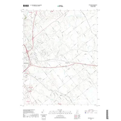
 2010 Vincennes2010 Print · USGSCovers Vincennes, including Westport, Knox County, and other nearby areas
 - 2013 Map of Fritchton, 2013 Print
 2013 Fritchton2013 Print · USGSCovers Vincennes, including Fritchton, Verne, and other nearby areas
 - 2013 Map of Vincennes, 2013 Print
 2013 Vincennes2013 Print · USGSCovers Vincennes, including Westport, Knox County, and other nearby areas
 - 2016 Map of Fritchton, 2016 Print
 2016 Fritchton2016 Print · USGSCovers Vincennes, including Fritchton, Verne, and other nearby areas
 - 2016 Map of Vincennes, 2016 Print
 2016 Vincennes2016 Print · USGSCovers Vincennes, including Westport, Knox County, and other nearby areas
 - 2019 Map of Vincennes, 2019 Print
 2019 Vincennes2019 Print · USGSCovers Vincennes, including Westport, Knox County, and other nearby areas
 - 2019 Map of Fritchton, 2019 Print
 2019 Fritchton2019 Print · USGSCovers Vincennes, including Fritchton, Verne, and other nearby areas
 - 2022 Map of Fritchton, 2022 Print
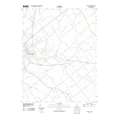
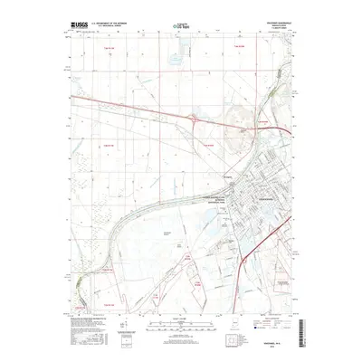
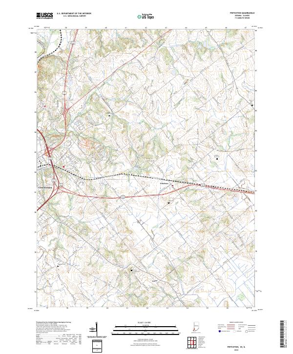 2022 Fritchton2022 Print · USGSKnox County, Indiana, is captured here in its modern agricultural and residential state, just east of the historic Wabash River. Local researchers can trace numerous family burial sites including the Indiana Presbyterian Cem, Alton Cem, and the small settlement of Verne.
 - 2022 Map of Vincennes, 2022 Print
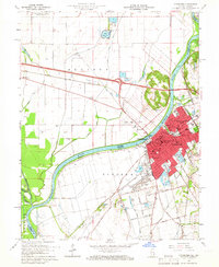
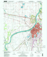
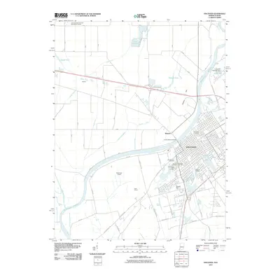
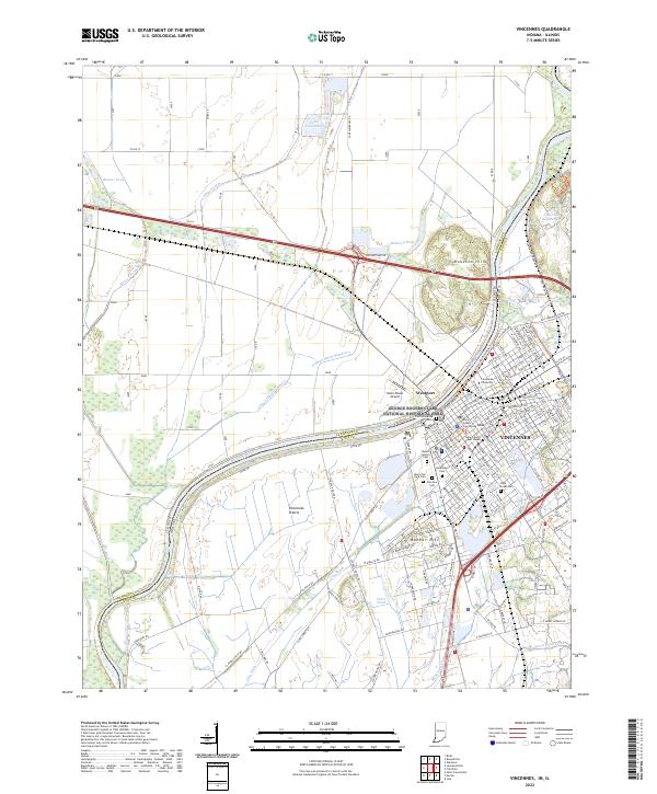 2022 Vincennes2022 Print · USGSVincennes and the Wabash River frontier are shown here in 2022, balancing its deep history with modern infrastructure. Researchers can trace local heritage at Vincennes University, Old Cathedral, and the Knox County Court House.
End of results
Showing maps 1-22 of 22
Top cities near Vincennes
- Lawrenceville historical maps
- Bicknell historical maps
- Petersburg historical maps
- Busseron historical maps
- Oaktown historical maps
- Monroe City historical maps
See more
Frequently asked questions
- What are the different types of historical maps available for Vincennes?
- What is the oldest map of Vincennes?
- Where can I purchase historical maps of Vincennes for my home or office?
- Where can I download high-res historical maps of Vincennes?
- Are there historical topographic maps available for Vincennes?
- Is there historical aerial imagery available for Vincennes?
- Where are historical maps of Vincennes sourced from?