
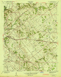
1944 Map of Fritchton
USGS Topo · Published 1944About this map
Vincennes serves as the western anchor for this wartime survey of Knox County, which details a landscape defined by agricultural townships and a busy regional rail network. The area around Fritchton and Verne is crisscrossed by several major rail lines, including the Pennsylvania and the Baltimore and Ohio, reflecting the importance of transportation in this pocket of southwestern Indiana. Notable social infrastructure is clustered near the city limits, including the St Vincent Orphanage, Hillcrest Hospital, and the County Farm.
Find a feature on this map
34 named features on this map. Tap any name to fly to it.
Don’t see what you’re looking for? This feature index may not catch every label — zoom into the map to look around manually.
Map Details
Editions of this 1944 Fritchton Map
2 editions found
Other maps of this area

1915 · Vincennes
USGS Topo · 1:62,500

1917 · Birds
USGS Topo · 1:62,500

1942 · Fritchton
USGS Topo · 1:24,000

1942 · Birds
USGS Topo · 1:62,500

1943 · Oaktown
USGS Topo · 1:24,000

1943 · Bicknell
USGS Topo · 1:24,000

1944 · Monroe City
USGS Topo · 1:24,000

1944 · Wheatland
USGS Topo · 1:24,000

1944 · Iona
USGS Topo · 1:24,000

1944 · Vincennes
USGS Topo · 1:62,500