2000s (21st Century) Maps of Lake County, Indiana
Explore 108 historic maps of Lake County from the 2000s (21st Century). These maps offer a rare glimpse into what life looked like during the 2000s — showing old roads, neighborhoods, homes, and landmarks that have changed or disappeared over time.
Whether you're researching your family's past, planning a metal detecting trip, or studying how Lake County's landscape evolved across the 2000s, these high-resolution maps are a powerful tool for exploring the history of this region.
- Focus on a specific era: All maps on this page are from the 2000s, giving you a focused view of this time period.
- See what’s changed: Compare century-old streets, trails, and buildings to today's modern landscape using overlays and satellite layers.
- Research with precision: Use these maps for genealogy, historical research, land use analysis, or educational projects.
- View, download, or print: Maps are fully viewable online in high resolution, and can be downloaded or printed for your own records.
Start exploring Lake County's history through authentic maps from the 2000s. This is your window into the past.
Lake County, IN maps
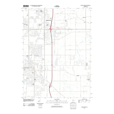
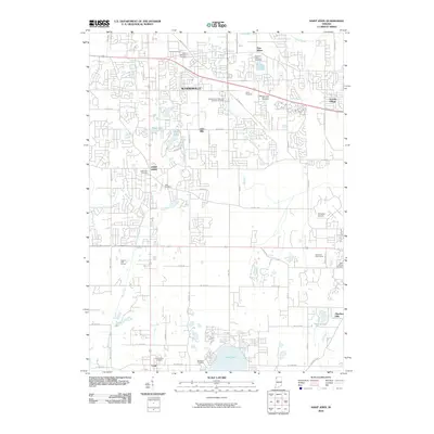
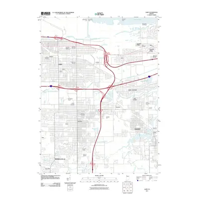
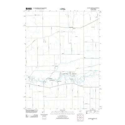
(108)- 2010 Map of Schneider, 2010 Print
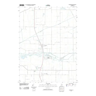 2010 Schneider2010 Print · USGSCovers Lake County, including Schneider, West Creek Township, and other nearby areas
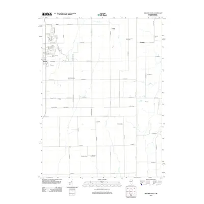
 - 2010 Map of DeMotte, 2010 Print
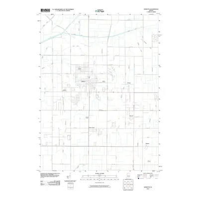 2010 DeMotte2010 Print · USGSCovers Lake County, including Kersey, DeMotte, and other nearby areas
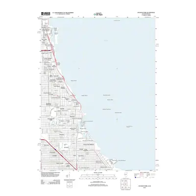
 - 2010 Map of Whiting, 2010 Print
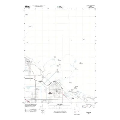 2010 Whiting2010 Print · USGSCovers Lake County, including Hammond, Gary, and other nearby areas
 - 2010 Map of Portage, 2010 Print
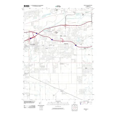 2010 Portage2010 Print · USGSCovers Lake County, including Gary, Portage, and other nearby areas
 - 2010 Map of Crown Point, 2010 Print
 2010 Crown Point2010 Print · USGSCovers Lake County, including Merrillville, Hobart, and other nearby areas
 - 2010 Map of Lowell, 2010 Print
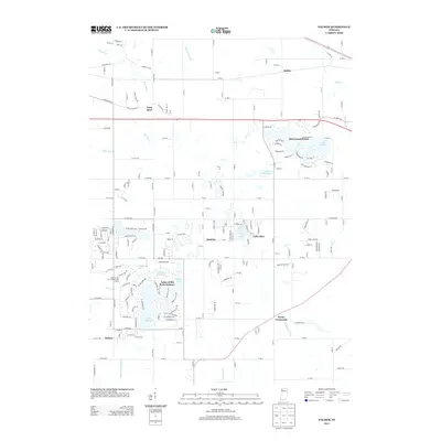
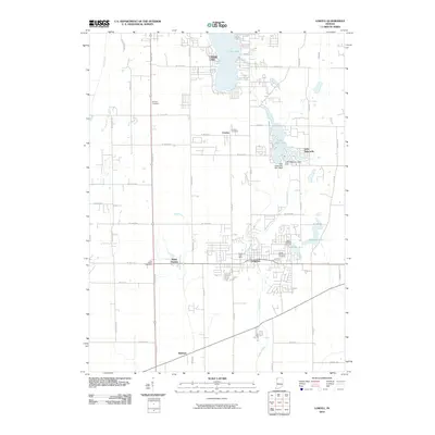 2010 Lowell2010 Print · USGSCovers Lake County, including Cedar Lake, Lowell, and other nearby areas
 - 2010 Map of Hebron, 2010 Print
 2010 Hebron2010 Print · USGSCovers Lake County, including Hebron, Boone Grove, and other nearby areas
 - 2010 Map of Palmer, 2010 Print
 2010 Palmer2010 Print · USGSCovers Lake County, including Merrillville, Hobart, and other nearby areas
 - 2010 Map of Saint John, 2010 Print
 2010 Saint John2010 Print · USGSCovers Lake County, including Merrillville, Schererville, and other nearby areas
 - 2010 Map of Leroy, 2010 Print
 2010 Leroy2010 Print · USGSCovers Lake County, including Crown Point, Dinwiddie, and other nearby areas
 - 2010 Map of Illiana Heights, 2010 Print
 2010 Illiana Heights2010 Print · USGSCovers Lake County, including Grant Park, Shadow Lawn, and other nearby areas
 - 2010 Map of Beecher East, 2010 Print
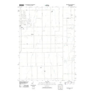 2010 Beecher East2010 Print · USGSCovers Lake County, including Beecher, Grant Park, and other nearby areas
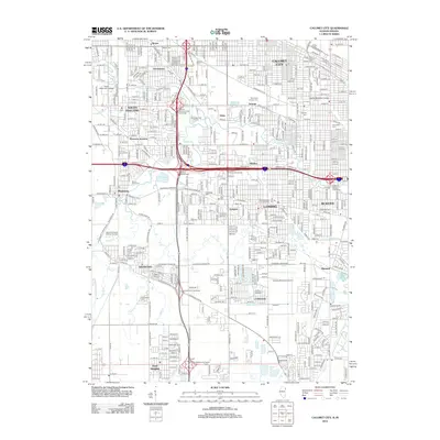
 - 2010 Map of Calumet City, 2010 Print
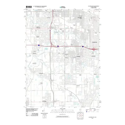 2010 Calumet City2010 Print · USGSCovers Lake County, including Hammond, Calumet City, and other nearby areas
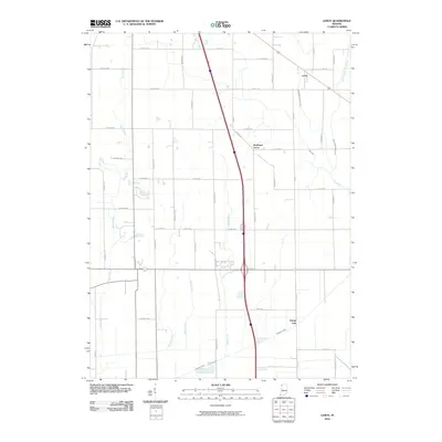
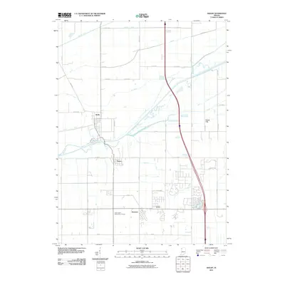
 - 2010 Map of Dyer, 2010 Print
 2010 Dyer2010 Print · USGSCovers Lake County, including Chicago Heights, Sauk Village, and other nearby areas
 - 2010 Map of Shelby, 2010 Print
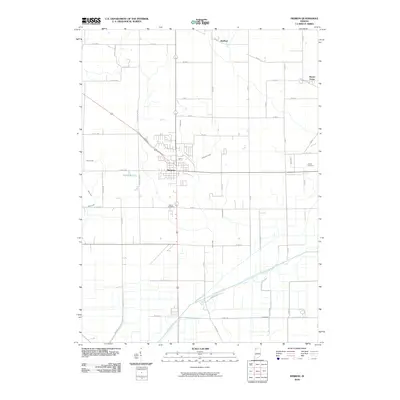
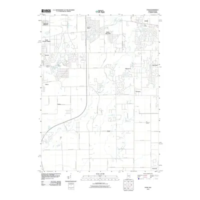
 2010 Shelby2010 Print · USGSCovers Lake County, including Shelby, Forest City, and other nearby areas
 - 2011 Map of Highland, 2011 Print
 2011 Highland2011 Print · USGSCovers Lake County, including Hammond, Gary, and other nearby areas
 - 2011 Map of Gary, 2011 Print
 2011 Gary2011 Print · USGSCovers Lake County, including Gary, Merrillville, and other nearby areas
 - 2011 Map of Gary OE N, 2011 Print
 2011 Gary OE N2011 Print · USGSCovers Lake County, including Gary, Calumet Township, and other nearby areas
 - 2011 Map of Ogden Dunes, 2011 Print
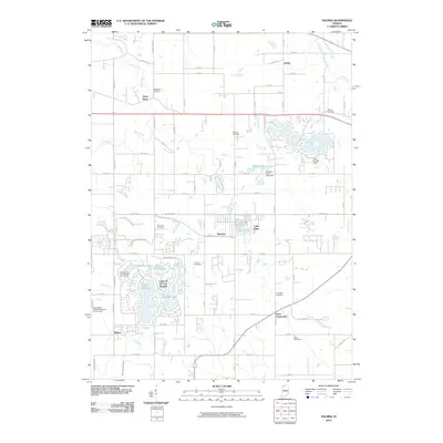
 2011 Ogden Dunes2011 Print · USGSCovers Lake County, including Portage, Ogden Dunes, and other nearby areas
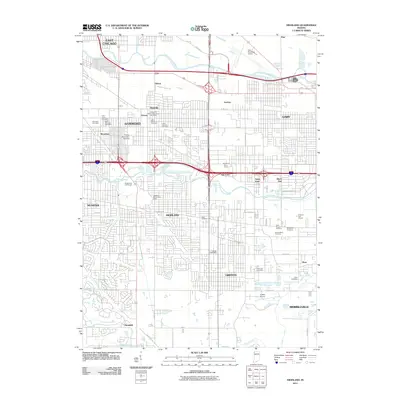
 - 2012 Map of Calumet City, 2012 Print
 2012 Calumet City2012 Print · USGSCovers Lake County, including Hammond, Calumet City, and other nearby areas
 - 2012 Map of Illiana Heights, 2012 Print
 2012 Illiana Heights2012 Print · USGSCovers Lake County, including Grant Park, Shadow Lawn, and other nearby areas
 - 2012 Map of Jackson Park, 2012 Print
 2012 Jackson Park2012 Print · USGSCovers Lake County, including Chicago, Lake Township, and other nearby areas
 - 2012 Map of Beecher East, 2012 Print
 2012 Beecher East2012 Print · USGSCovers Lake County, including Beecher, Grant Park, and other nearby areas
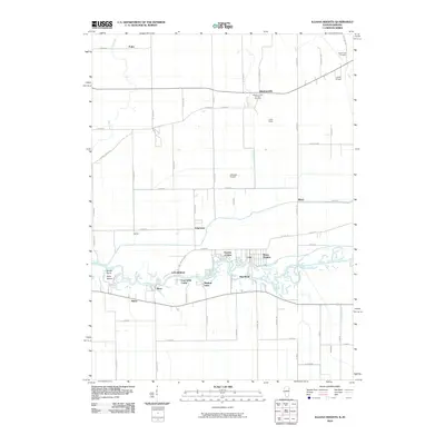
 - 2012 Map of Lake Calumet, 2012 Print
 2012 Lake Calumet2012 Print · USGSCovers Lake County, including Chicago, Hammond, and other nearby areas
 - 2013 Map of Palmer, 2013 Print
 2013 Palmer2013 Print · USGSCovers Lake County, including Merrillville, Hobart, and other nearby areas
Showing maps 1-25 of 108
Top cities of Lake County
Frequently asked questions
- What are the different types of historical maps available for Lake County?
- What is the oldest map of Lake County?
- Where can I purchase historical maps of Lake County for my home or office?
- Where can I download high-res historical maps of Lake County?
- Are there historical topographic maps available for Lake County?
- Is there historical aerial imagery available for Lake County?
- Where are historical maps of Lake County sourced from?