2000s (21st Century) Maps of Lawrence County, Indiana
Explore 61 historic maps of Lawrence County from the 2000s (21st Century). These maps offer a rare glimpse into what life looked like during the 2000s — showing old roads, neighborhoods, homes, and landmarks that have changed or disappeared over time.
Whether you're researching your family's past, planning a metal detecting trip, or studying how Lawrence County's landscape evolved across the 2000s, these high-resolution maps are a powerful tool for exploring the history of this region.
- Focus on a specific era: All maps on this page are from the 2000s, giving you a focused view of this time period.
- See what’s changed: Compare century-old streets, trails, and buildings to today's modern landscape using overlays and satellite layers.
- Research with precision: Use these maps for genealogy, historical research, land use analysis, or educational projects.
- View, download, or print: Maps are fully viewable online in high resolution, and can be downloaded or printed for your own records.
Start exploring Lawrence County's history through authentic maps from the 2000s. This is your window into the past.
Lawrence County, IN maps
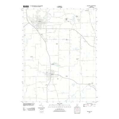
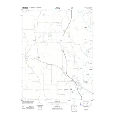
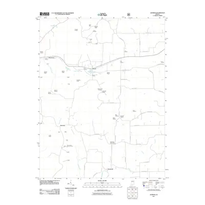
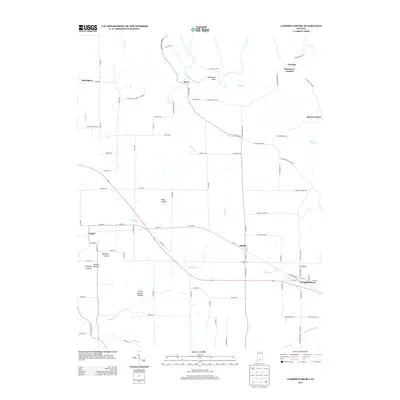
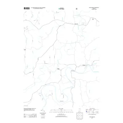
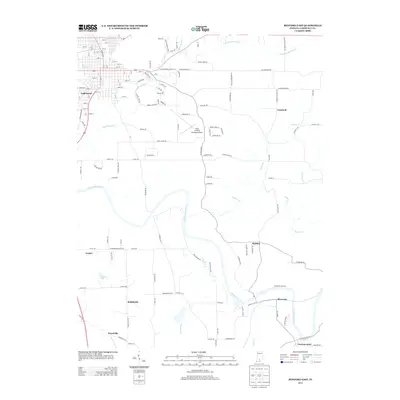
(61)- 2000 Map of Mitchell, 2001 Print
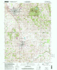 2000 Mitchell2001 Print · USGSSouthern Indiana at the millennium reveals a landscape shaped by historical boundaries and limestone drainage. Researchers can trace the Indian Treaty Boundary and locate local landmarks like Spring Mill Village and Fairview Cem.
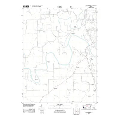
 - 2010 Map of Bedford East, 2010 Print
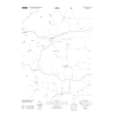
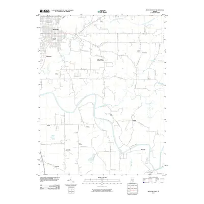 2010 Bedford East2010 Print · USGSCovers Lawrence County, including Bedford, Mitchell, and other nearby areas
 - 2010 Map of Campbellsburg, 2010 Print
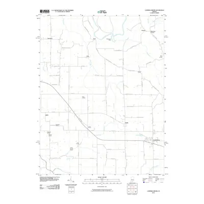 2010 Campbellsburg2010 Print · USGSCovers Lawrence County, including Bono, Campbellsburg, and other nearby areas
 - 2010 Map of Tunnelton, 2010 Print
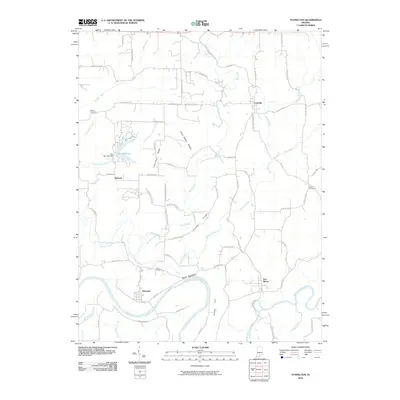 2010 Tunnelton2010 Print · USGSCovers Lawrence County, including Pinhook, Fort Ritner, and other nearby areas
 - 2010 Map of Mitchell, 2010 Print
 2010 Mitchell2010 Print · USGSCovers Lawrence County, including Mitchell, Orleans, and other nearby areas
 - 2010 Map of Bartlettsville, 2010 Print
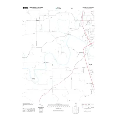
 2010 Bartlettsville2010 Print · USGSCovers Lawrence County, including Bedford, Heltonville, and other nearby areas
 - 2010 Map of Williams, 2010 Print
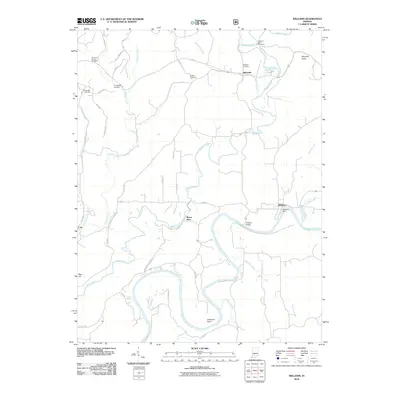 2010 Williams2010 Print · USGSCovers Lawrence County, including Williams, Mount Olive, and other nearby areas
 - 2010 Map of Norman, 2010 Print
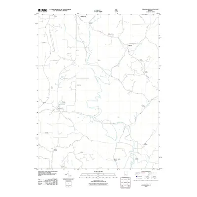
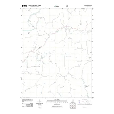
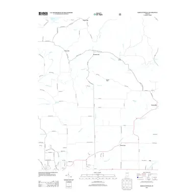
 2010 Norman2010 Print · USGSCovers Lawrence County, including Zelma, Norman, and other nearby areas
 - 2010 Map of Owensburg, 2010 Print
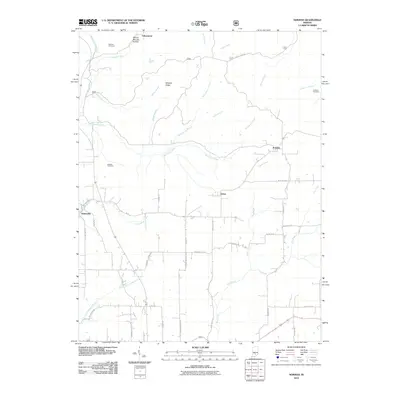
 2010 Owensburg2010 Print · USGSCovers Lawrence County, including Owensburg, Popcorn, and other nearby areas
 - 2011 Map of Huron, 2011 Print
 2011 Huron2011 Print · USGSCovers Lawrence County, including Huron, Willow Valley, and other nearby areas
 - 2011 Map of Bedford West, 2011 Print
 2011 Bedford West2011 Print · USGSCovers Lawrence County, including Bedford, Bryantsville, and other nearby areas
 - 2011 Map of Oolitic, 2011 Print
 2011 Oolitic2011 Print · USGSCovers Lawrence County, including Bedford, Guthrie, and other nearby areas
 - 2011 Map of Georgia, 2011 Print
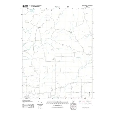
 2011 Georgia2011 Print · USGSCovers Lawrence County, including Orangeville, Moorestown, and other nearby areas
 - 2013 Map of Georgia, 2013 Print
 2013 Georgia2013 Print · USGSCovers Lawrence County, including Orangeville, Moorestown, and other nearby areas
 - 2013 Map of Bedford West, 2013 Print
 2013 Bedford West2013 Print · USGSCovers Lawrence County, including Bedford, Bryantsville, and other nearby areas
 - 2013 Map of Bartlettsville, 2013 Print
 2013 Bartlettsville2013 Print · USGSCovers Lawrence County, including Bedford, Heltonville, and other nearby areas
 - 2013 Map of Campbellsburg, 2013 Print
 2013 Campbellsburg2013 Print · USGSCovers Lawrence County, including Bono, Campbellsburg, and other nearby areas
 - 2013 Map of Huron, 2013 Print
 2013 Huron2013 Print · USGSCovers Lawrence County, including Huron, Willow Valley, and other nearby areas
 - 2013 Map of Mitchell, 2013 Print
 2013 Mitchell2013 Print · USGSCovers Lawrence County, including Mitchell, Orleans, and other nearby areas
 - 2013 Map of Owensburg, 2013 Print
 2013 Owensburg2013 Print · USGSCovers Lawrence County, including Owensburg, Popcorn, and other nearby areas
 - 2013 Map of Williams, 2013 Print
 2013 Williams2013 Print · USGSCovers Lawrence County, including Williams, Mount Olive, and other nearby areas
 - 2013 Map of Tunnelton, 2013 Print
 2013 Tunnelton2013 Print · USGSCovers Lawrence County, including Pinhook, Fort Ritner, and other nearby areas
 - 2013 Map of Oolitic, 2013 Print
 2013 Oolitic2013 Print · USGSCovers Lawrence County, including Bedford, Guthrie, and other nearby areas
 - 2013 Map of Norman, 2013 Print
 2013 Norman2013 Print · USGSCovers Lawrence County, including Zelma, Norman, and other nearby areas
 - 2013 Map of Bedford East, 2013 Print
 2013 Bedford East2013 Print · USGSCovers Lawrence County, including Bedford, Mitchell, and other nearby areas
Showing maps 1-25 of 61
Top cities of Lawrence County
- Bedford historical maps
- Mitchell historical maps
- Guthrie historical maps
- Oolitic historical maps
- Bono historical maps
Frequently asked questions
- What are the different types of historical maps available for Lawrence County?
- What is the oldest map of Lawrence County?
- Where can I purchase historical maps of Lawrence County for my home or office?
- Where can I download high-res historical maps of Lawrence County?
- Are there historical topographic maps available for Lawrence County?
- Is there historical aerial imagery available for Lawrence County?
- Where are historical maps of Lawrence County sourced from?