2000s (21st Century) Maps of Peru, Indiana
Explore 15 historic maps of Peru from the 2000s (21st Century). These maps offer a rare glimpse into what life looked like during the 2000s — showing old roads, neighborhoods, homes, and landmarks that have changed or disappeared over time.
Whether you're researching your family's past, planning a metal detecting trip, or studying how Peru's landscape evolved across the 2000s, these high-resolution maps are a powerful tool for exploring the history of this region.
- Focus on a specific era: All maps on this page are from the 2000s, giving you a focused view of this time period.
- See what’s changed: Compare century-old streets, trails, and buildings to today's modern landscape using overlays and satellite layers.
- Research with precision: Use these maps for genealogy, historical research, land use analysis, or educational projects.
- View, download, or print: Maps are fully viewable online in high resolution, and can be downloaded or printed for your own records.
Start exploring Peru's history through authentic maps from the 2000s. This is your window into the past.
Peru, IN maps
(15)- 2010 Map of Peru, 2010 Print
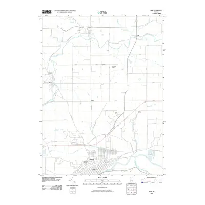 2010 Peru2010 Print · USGSCovers Peru, including Mexico, Denver, and other nearby areas
 - 2010 Map of Twelve Mile, 2010 Print
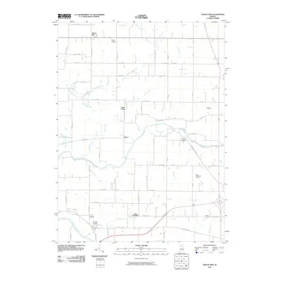 2010 Twelve Mile2010 Print · USGSCovers Peru, including Twelve Mile, New Waverly, and other nearby areas
 - 2010 Map of Bunker Hill, 2010 Print
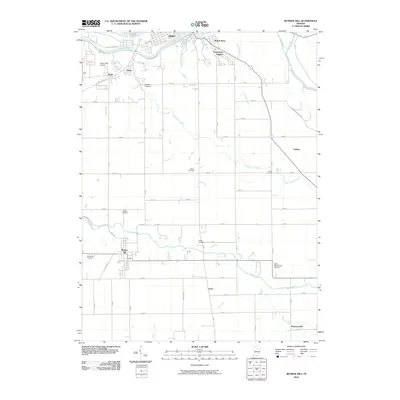 2010 Bunker Hill2010 Print · USGSCovers Peru, including Bunker Hill, Oakley, and other nearby areas
 - 2013 Map of Peru, 2013 Print
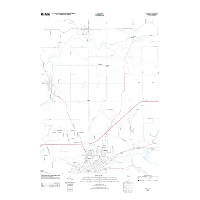 2013 Peru2013 Print · USGSCovers Peru, including Mexico, Denver, and other nearby areas
 - 2013 Map of Bunker Hill, 2013 Print
 2013 Bunker Hill2013 Print · USGSCovers Peru, including Bunker Hill, Oakley, and other nearby areas
 - 2013 Map of Twelve Mile, 2013 Print
 2013 Twelve Mile2013 Print · USGSCovers Peru, including Twelve Mile, New Waverly, and other nearby areas
 - 2016 Map of Bunker Hill, 2016 Print
 2016 Bunker Hill2016 Print · USGSCovers Peru, including Bunker Hill, Oakley, and other nearby areas
 - 2016 Map of Twelve Mile, 2016 Print
 2016 Twelve Mile2016 Print · USGSCovers Peru, including Twelve Mile, New Waverly, and other nearby areas
 - 2016 Map of Peru, 2016 Print
 2016 Peru2016 Print · USGSCovers Peru, including Mexico, Denver, and other nearby areas
 - 2019 Map of Twelve Mile, 2019 Print
 2019 Twelve Mile2019 Print · USGSCovers Peru, including Twelve Mile, New Waverly, and other nearby areas
 - 2019 Map of Peru, 2019 Print
 2019 Peru2019 Print · USGSCovers Peru, including Mexico, Denver, and other nearby areas
 - 2019 Map of Bunker Hill, 2019 Print
 2019 Bunker Hill2019 Print · USGSCovers Peru, including Bunker Hill, Oakley, and other nearby areas
 - 2022 Map of Twelve Mile, 2022 Print
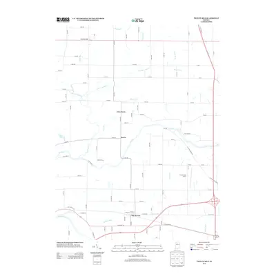
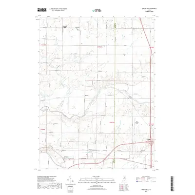
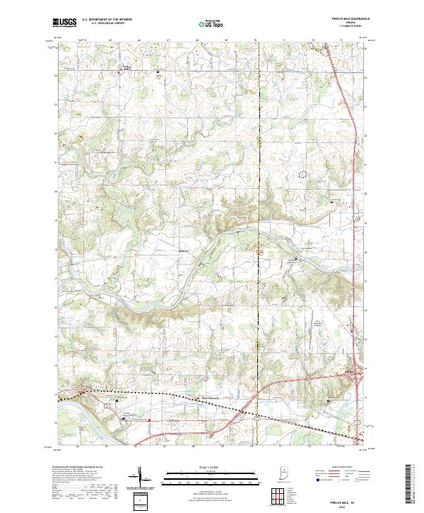 2022 Twelve Mile2022 Print · USGSThe rural crossing of Cass and Miami Counties is documented here in the early twenty-first century, showing a landscape defined by the Eel River and Wabash River. Researchers can trace family history through numerous sites like Mount Carmel Cem, Eel River Chapel Cem, and the settlement of Twelve Mile.
 - 2022 Map of Peru, 2022 Print
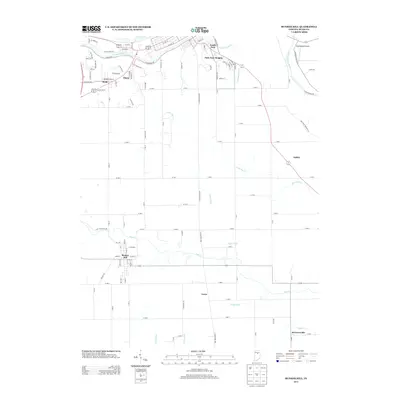
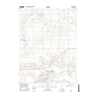
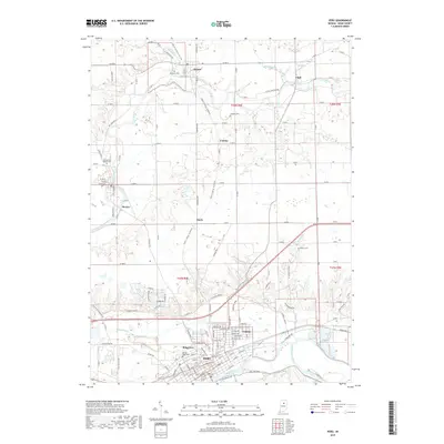
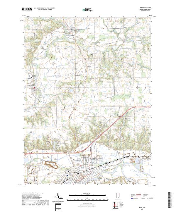 2022 Peru2022 Print · USGSMiami County at the start of the 2020s shows the convergence of three major rivers and the conversion of the historic Nickel Plate line. Genealogists and local historians can trace family plots at Mount Hope Cem or explore the river-side layout of Mexico and Denver.
 - 2022 Map of Bunker Hill, 2022 Print
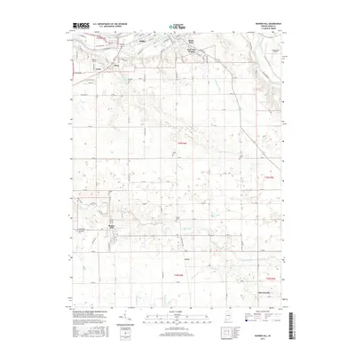
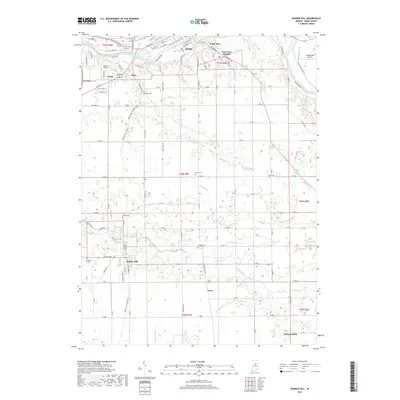
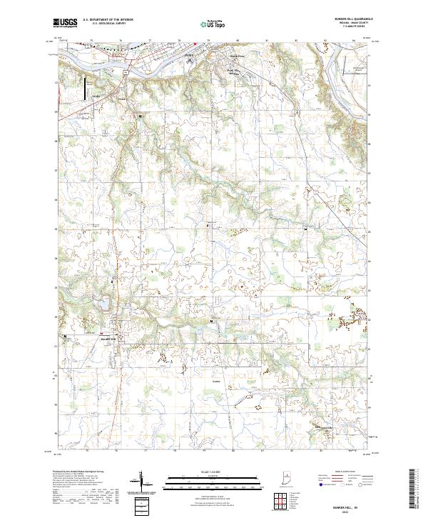 2022 Bunker Hill2022 Print · USGSMiami County at the start of the 2020s shows the enduring pattern of the Wabash river valley and the rail lines that built the local economy. Genealogists can locate several historic burial grounds like Sharpee Cem and Rankin Cem or trace the path of the Nickle Plate Rail-Trl.
End of results
Showing maps 1-15 of 15
Top cities near Peru
- Logansport historical maps
- Wabash historical maps
- Galveston historical maps
- Bunker Hill historical maps
- Mexico historical maps
- Denver historical maps
See more
Top neighborhoods of Peru
- Ridgeview historical maps
- Park View Heights historical maps
- Oakdale historical maps
- South Peru historical maps
Frequently asked questions
- What are the different types of historical maps available for Peru?
- What is the oldest map of Peru?
- Where can I purchase historical maps of Peru for my home or office?
- Where can I download high-res historical maps of Peru?
- Are there historical topographic maps available for Peru?
- Is there historical aerial imagery available for Peru?
- Where are historical maps of Peru sourced from?