Old Maps of Peru, Indiana for Academic Research
Study the evolution of Peru with 25 high-resolution historic maps. Whether you're teaching, researching, or modeling changes in land use, these maps provide essential visual documentation of urban, environmental, and geographic change.
- Analyze long-term change: Track patterns in development, transportation, and natural features.
- Ideal for environmental or urban studies: Support academic projects with primary historical map data.
- Use in the classroom or lab: Educators and researchers rely on these maps to bring historical context to life.
These maps are a powerful tool for teaching, research, and visualizing how Peru has changed over the decades.
Peru, IN maps
(25)- 1951 Map of Peru
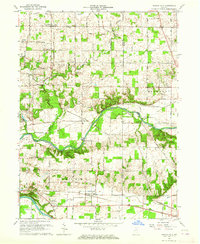
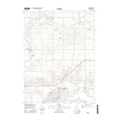
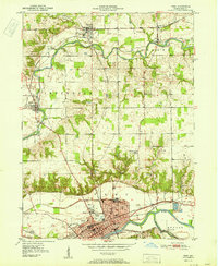 1951 Peru1951 Print · USGSThe city of Peru serves as a bustling rail and river hub in the early fifties, where the Wabash and Mississinewa rivers meet. Researchers can trace historic family names at Mount Hope Cemetery or locate old schoolhouses like Victory School and Richland Sch.2 unique versions available
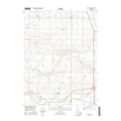
 - 1951 Map of Twelve Mile
 1951 Twelve Mile1951 Print · USGSCass and Miami County farmstead life and rail transit are captured here in the early fifties, as three major railroads crossed the landscape. Researchers can trace family roots through numerous rural landmarks like Old German Ch, Twelve Mile, and Eel River Chapel Cem.2 unique versions available
 - 1951 Map of Bunker Hill
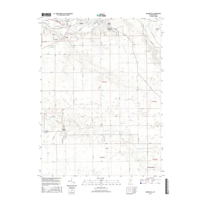
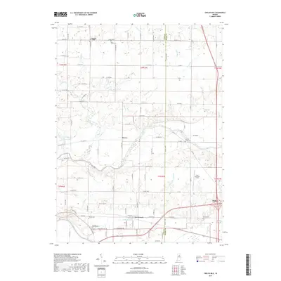
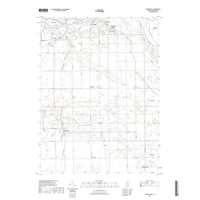
 1951 Bunker Hill1951 Print · USGSBunker Hill and southern Miami County are shown here in the early fifties at a peak of midwestern rail activity. Genealogists can trace family roots at Springdale Cem or locate rural landmarks like Santa Fe Ch and the County Farm.2 unique versions available
 - 1953 Map of Danville, 1965 Print
 1953 Danville1965 Print · USGSIndiana and Illinois crossroads come to life in this mid-century survey as the interstate era begins to reshape the river-and-rail landscape. Genealogists and collectors can trace the historic paths of the Nickel Plate railroad or locate smaller communities like Veedersburg, Goodland, and Bismarck.3 unique versions available
 - 1955 Map of Danville
 1955 Danville1955 Print · USGSThe Indiana-Illinois borderlands during the mid-fifties reveal a landscape of thriving rail hubs and university towns. Researchers can trace the legacy of Purdue University, the Tippecanoe Battlefield, and the path of the Pennsylvania RR.
 - 1956 Map of Danville
 1956 Danville1956 Print · USGSMid-century Indiana and Illinois are captured here as the river-and-rail economy evolved into the modern highway era. Researchers can trace ancestral roots and old transport lines through Logansport, Battle Ground, and the dams at Lake Shafer.
 - 1960 Map of Peru, 1962 Print
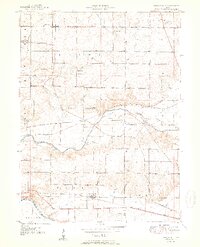
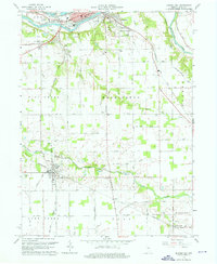
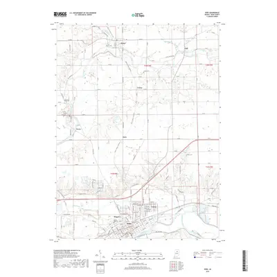
 1960 Peru1962 Print · USGSMiami County in the early sixties was a hub of river-and-rail activity centered on the convergence of the Wabash and Mississinewa. Genealogists can trace family names at Westlawn Cem or Mount Hope Cemetery and locate rural landmarks like Victory Sch and the hamlet of Courter.4 unique versions available
 - 1963 Map of Twelve Mile, 1964 Print
 1963 Twelve Mile1964 Print · USGSCass County agriculture and river life converged in the early sixties as railroads like the Chesapeake and Ohio linked rural communities. Genealogists can trace family roots through Mt Carmel Ch, Bethlehem Ch, and the Eel River Chapel Cem.4 unique versions available
 - 1963 Map of Bunker Hill, 1964 Print
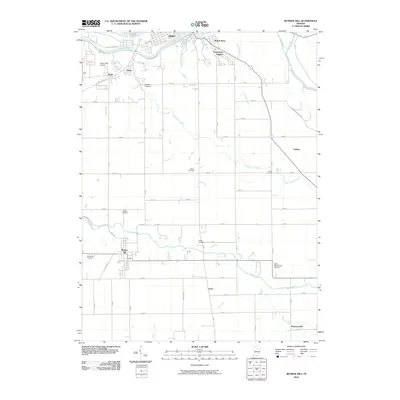
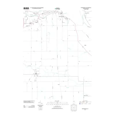
 1963 Bunker Hill1964 Print · USGSMiami County at the start of the 1960s shows a landscape of busy rail junctions and river valleys. Genealogists and local historians can trace family locations near Bunker Hill, the County Farm, or rural sites like New Hope Cemetery.4 unique versions available
 - 1985 Map of Logansport
 1985 Logansport1985 Print · USGSNorth-central Indiana in the mid-eighties shows a landscape of river-fed towns and significant military aviation hubs. Genealogists and local historians can trace the rail corridors of the Conrail or locate sites like River View Cem and the crossroads at Twelve Mile.2 unique versions available
 - 2010 Map of Peru, 2010 Print
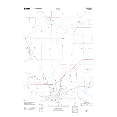
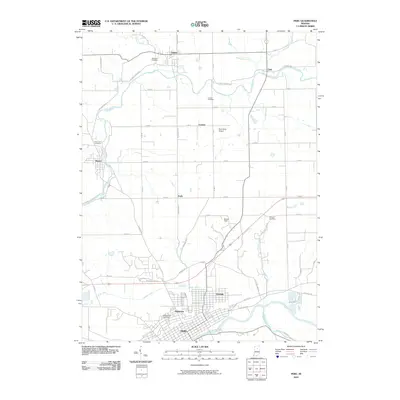 2010 Peru2010 Print · USGSCovers Peru, including Mexico, Denver, and other nearby areas
 - 2010 Map of Twelve Mile, 2010 Print
 2010 Twelve Mile2010 Print · USGSCovers Peru, including Twelve Mile, New Waverly, and other nearby areas
 - 2010 Map of Bunker Hill, 2010 Print
 2010 Bunker Hill2010 Print · USGSCovers Peru, including Bunker Hill, Oakley, and other nearby areas
 - 2013 Map of Peru, 2013 Print
 2013 Peru2013 Print · USGSCovers Peru, including Mexico, Denver, and other nearby areas
 - 2013 Map of Bunker Hill, 2013 Print
 2013 Bunker Hill2013 Print · USGSCovers Peru, including Bunker Hill, Oakley, and other nearby areas
 - 2013 Map of Twelve Mile, 2013 Print
 2013 Twelve Mile2013 Print · USGSCovers Peru, including Twelve Mile, New Waverly, and other nearby areas
 - 2016 Map of Bunker Hill, 2016 Print
 2016 Bunker Hill2016 Print · USGSCovers Peru, including Bunker Hill, Oakley, and other nearby areas
 - 2016 Map of Twelve Mile, 2016 Print
 2016 Twelve Mile2016 Print · USGSCovers Peru, including Twelve Mile, New Waverly, and other nearby areas
 - 2016 Map of Peru, 2016 Print
 2016 Peru2016 Print · USGSCovers Peru, including Mexico, Denver, and other nearby areas
 - 2019 Map of Twelve Mile, 2019 Print
 2019 Twelve Mile2019 Print · USGSCovers Peru, including Twelve Mile, New Waverly, and other nearby areas
 - 2019 Map of Peru, 2019 Print
 2019 Peru2019 Print · USGSCovers Peru, including Mexico, Denver, and other nearby areas
 - 2019 Map of Bunker Hill, 2019 Print
 2019 Bunker Hill2019 Print · USGSCovers Peru, including Bunker Hill, Oakley, and other nearby areas
 - 2022 Map of Twelve Mile, 2022 Print
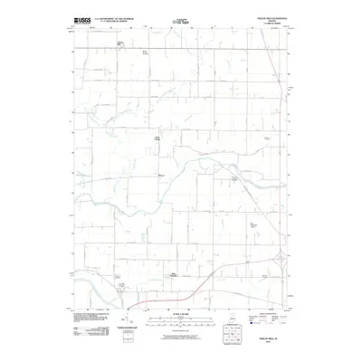
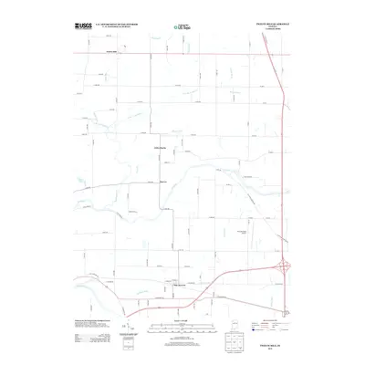
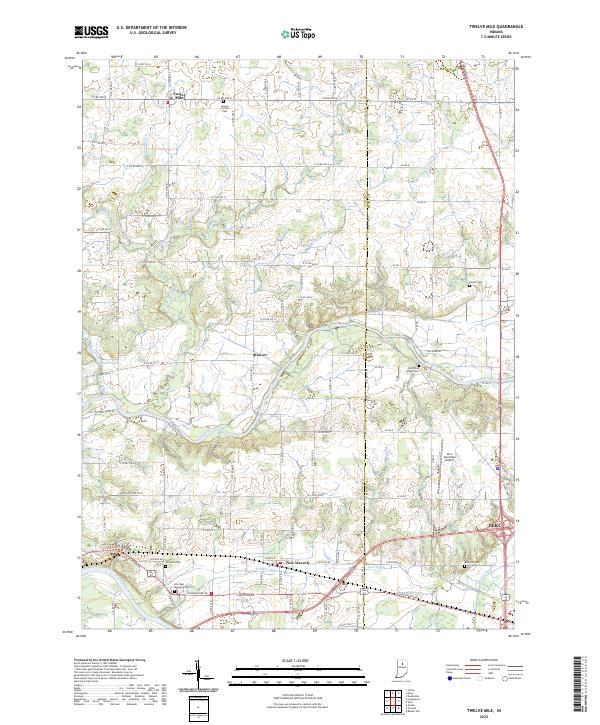 2022 Twelve Mile2022 Print · USGSThe rural crossing of Cass and Miami Counties is documented here in the early twenty-first century, showing a landscape defined by the Eel River and Wabash River. Researchers can trace family history through numerous sites like Mount Carmel Cem, Eel River Chapel Cem, and the settlement of Twelve Mile.
 - 2022 Map of Peru, 2022 Print
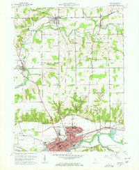
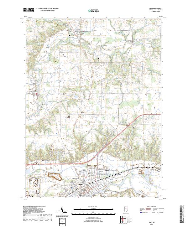 2022 Peru2022 Print · USGSMiami County at the start of the 2020s shows the convergence of three major rivers and the conversion of the historic Nickel Plate line. Genealogists and local historians can trace family plots at Mount Hope Cem or explore the river-side layout of Mexico and Denver.
 - 2022 Map of Bunker Hill, 2022 Print
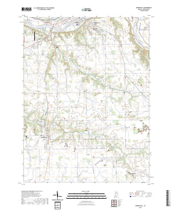 2022 Bunker Hill2022 Print · USGSMiami County at the start of the 2020s shows the enduring pattern of the Wabash river valley and the rail lines that built the local economy. Genealogists can locate several historic burial grounds like Sharpee Cem and Rankin Cem or trace the path of the Nickle Plate Rail-Trl.
End of results
Showing maps 1-25 of 25
Top cities near Peru
- Logansport historical maps
- Wabash historical maps
- Galveston historical maps
- Bunker Hill historical maps
- Mexico historical maps
- Denver historical maps
See more
Top neighborhoods of Peru
- Ridgeview historical maps
- Park View Heights historical maps
- Oakdale historical maps
- South Peru historical maps
Frequently asked questions
- What are the different types of historical maps available for Peru?
- What is the oldest map of Peru?
- Where can I purchase historical maps of Peru for my home or office?
- Where can I download high-res historical maps of Peru?
- Are there historical topographic maps available for Peru?
- Is there historical aerial imagery available for Peru?
- Where are historical maps of Peru sourced from?