Old Maps of Crawfordsville, Indiana for Academic Research
Study the evolution of Crawfordsville with 16 high-resolution historic maps. Whether you're teaching, researching, or modeling changes in land use, these maps provide essential visual documentation of urban, environmental, and geographic change.
- Analyze long-term change: Track patterns in development, transportation, and natural features.
- Ideal for environmental or urban studies: Support academic projects with primary historical map data.
- Use in the classroom or lab: Educators and researchers rely on these maps to bring historical context to life.
These maps are a powerful tool for teaching, research, and visualizing how Crawfordsville has changed over the decades.
Crawfordsville, IN maps
(16)- 1953 Map of Danville, 1965 Print
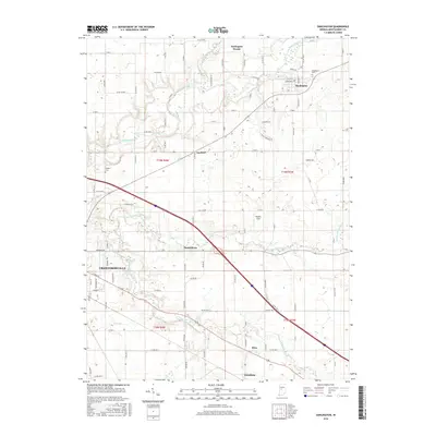
 1953 Danville1965 Print · USGSIndiana and Illinois crossroads come to life in this mid-century survey as the interstate era begins to reshape the river-and-rail landscape. Genealogists and collectors can trace the historic paths of the Nickel Plate railroad or locate smaller communities like Veedersburg, Goodland, and Bismarck.3 unique versions available
 - 1955 Map of Danville
 1955 Danville1955 Print · USGSThe Indiana-Illinois borderlands during the mid-fifties reveal a landscape of thriving rail hubs and university towns. Researchers can trace the legacy of Purdue University, the Tippecanoe Battlefield, and the path of the Pennsylvania RR.
 - 1956 Map of Danville
 1956 Danville1956 Print · USGSMid-century Indiana and Illinois are captured here as the river-and-rail economy evolved into the modern highway era. Researchers can trace ancestral roots and old transport lines through Logansport, Battle Ground, and the dams at Lake Shafer.
 - 1956 Map of Crawfordsville, 1957 Print
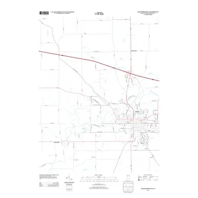
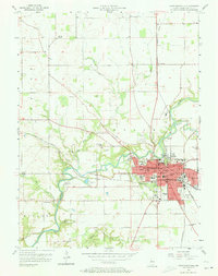 1956 Crawfordsville1957 Print · USGSCrawfordsville and the surrounding Montgomery County countryside are captured here in the mid-1950s at a peak of rail and river industry. Researchers can trace family sites at Oak Hill Cemetery, visit the old Mt Zion Sch, or locate the bygone depots at Fiskyville and Ames.4 unique versions available
 - 1958 Map of Darlington, 1959 Print
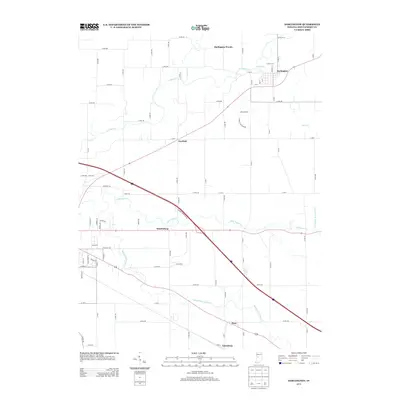
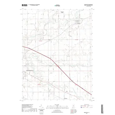
 1958 Darlington1959 Print · USGSCentral Indiana's farming townships are captured here in the late fifties, centered on the village of Darlington. Researchers can trace the rail corridors of the Pennsylvania and Monon lines or locate rural landmarks like Youngs Chapel and Township Sch.2 unique versions available
 - 1984 Map of Lafayette, 1985 Print
 1984 Lafayette1985 Print · USGSNorth-central Indiana thrives in the 1980s as a hub of higher education, industry, and agriculture centered on the Wabash River. Genealogists and historians can locate family sites near Darrough Chapel, Oak Hill Cem, or the small crossroads of Thorntown and Colfax.2 unique versions available
 - 2010 Map of Crawfordsville, 2010 Print
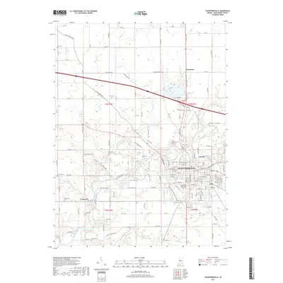
 2010 Crawfordsville2010 Print · USGSCovers Crawfordsville, including Ames, Yountsville, and other nearby areas
 - 2010 Map of Darlington, 2010 Print
 2010 Darlington2010 Print · USGSCovers Crawfordsville, including Darlington, Linnsburg, and other nearby areas
 - 2013 Map of Darlington, 2013 Print
 2013 Darlington2013 Print · USGSCovers Crawfordsville, including Darlington, Linnsburg, and other nearby areas
 - 2013 Map of Crawfordsville, 2013 Print
 2013 Crawfordsville2013 Print · USGSCovers Crawfordsville, including Ames, Yountsville, and other nearby areas
 - 2016 Map of Darlington, 2016 Print
 2016 Darlington2016 Print · USGSCovers Crawfordsville, including Darlington, Linnsburg, and other nearby areas
 - 2016 Map of Crawfordsville, 2016 Print
 2016 Crawfordsville2016 Print · USGSCovers Crawfordsville, including Ames, Yountsville, and other nearby areas
 - 2019 Map of Crawfordsville, 2019 Print
 2019 Crawfordsville2019 Print · USGSCovers Crawfordsville, including Ames, Yountsville, and other nearby areas
 - 2019 Map of Darlington, 2019 Print
 2019 Darlington2019 Print · USGSCovers Crawfordsville, including Darlington, Linnsburg, and other nearby areas
 - 2022 Map of Crawfordsville, 2022 Print
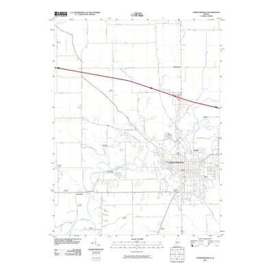
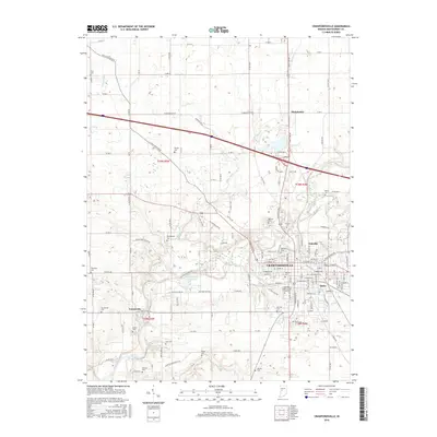
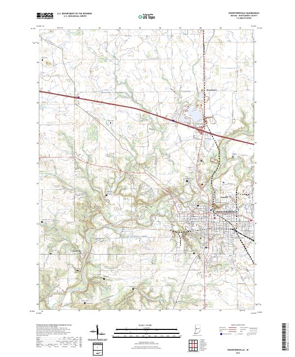 2022 Crawfordsville2022 Print · USGSCrawfordsville and the surrounding Montgomery County countryside are documented here in the early twenty-first century, centered on the historic Wabash College campus. Researchers can trace numerous family burial sites such as Harshbarger Cemetery and Stover Cemetery along the banks of Sugar Creek.
 - 2022 Map of Darlington, 2022 Print
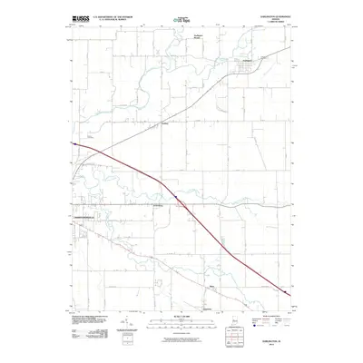
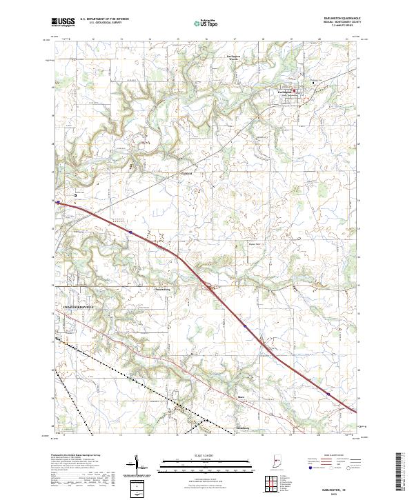 2022 Darlington2022 Print · USGSMontgomery County farmland in the early 2020s is defined by the winding Sugar Creek and the busy corridor of Interstate 74. Genealogists and local researchers can locate Greenlawn Cem and trace the small crossroads of Mace and Smartsburg.
End of results
Showing maps 1-16 of 16
Top cities near Crawfordsville
- Ladoga historical maps
- Roachdale historical maps
- Waynetown historical maps
- Darlington historical maps
- Colfax historical maps
- Linden historical maps
See more
Top neighborhoods of Crawfordsville
Frequently asked questions
- What are the different types of historical maps available for Crawfordsville?
- What is the oldest map of Crawfordsville?
- Where can I purchase historical maps of Crawfordsville for my home or office?
- Where can I download high-res historical maps of Crawfordsville?
- Are there historical topographic maps available for Crawfordsville?
- Is there historical aerial imagery available for Crawfordsville?
- Where are historical maps of Crawfordsville sourced from?