2020s Maps of Morgan County, Indiana
Explore 18 historic maps of Morgan County from the 2020s. These maps offer a rare glimpse into what life looked like during the 2020s — showing old roads, neighborhoods, homes, and landmarks that have changed or disappeared over time.
Whether you're researching your family's past, planning a metal detecting trip, or studying how Morgan County's landscape evolved across the 2020s, these high-resolution maps are a powerful tool for exploring the history of this region.
- Focus on a specific era: All maps on this page are from the 2020s, giving you a focused view of this time period.
- See what’s changed: Compare century-old streets, trails, and buildings to today's modern landscape using overlays and satellite layers.
- Research with precision: Use these maps for genealogy, historical research, land use analysis, or educational projects.
- View, download, or print: Maps are fully viewable online in high resolution, and can be downloaded or printed for your own records.
Start exploring Morgan County's history through authentic maps from the 2020s. This is your window into the past.
Morgan County, IN maps
(18)- 2022 Map of Trafalgar, 2022 Print
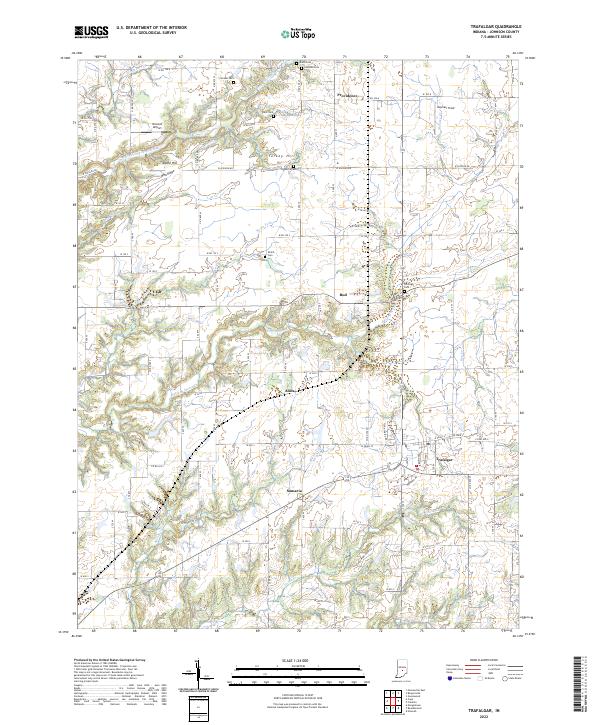 2022 Trafalgar2022 Print · USGSJohnson County’s rural landscape is captured here in the early twenty-first century, showing a network of small hamlets and family farmsteads. Researchers can locate several burial grounds like Shiloh Cem and Harris Cem or trace the early roots of Trafalgar and Samaria.
 - 2022 Map of Morgantown, 2022 Print
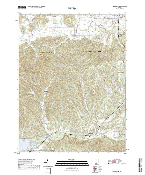 2022 Morgantown2022 Print · USGSSouthern Indiana ridge country comes alive in the early 2020s, showing the intricate landscape where Morgan and Brown counties meet. Researchers can trace historic family landmarks and rural settlements like Beanblossom, Trevlac, and the Boles - Williams Cem.
 - 2022 Map of Hall, 2022 Print
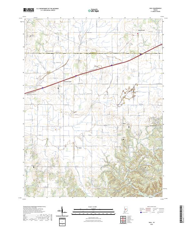 2022 Hall2022 Print · USGSThe rural borderlands of Morgan and Hendricks counties are detailed in this recent survey, showcasing the enduring agricultural patterns of the Indiana countryside. Genealogists and local historians can locate Crown Center Cem, the community of Hall, and the terrain near Shumaker Ridge.
 - 2022 Map of Modesto, 2022 Print
 2022 Modesto2022 Print · USGSMonroe and Morgan Counties are captured here in the early twenty-first century, showing the rural character of the land north of Bloomington. Genealogists and historians can trace family land near Sodom Cem, Modesto, and the banks of Beanblossom Creek.
 - 2022 Map of Paragon, 2022 Print
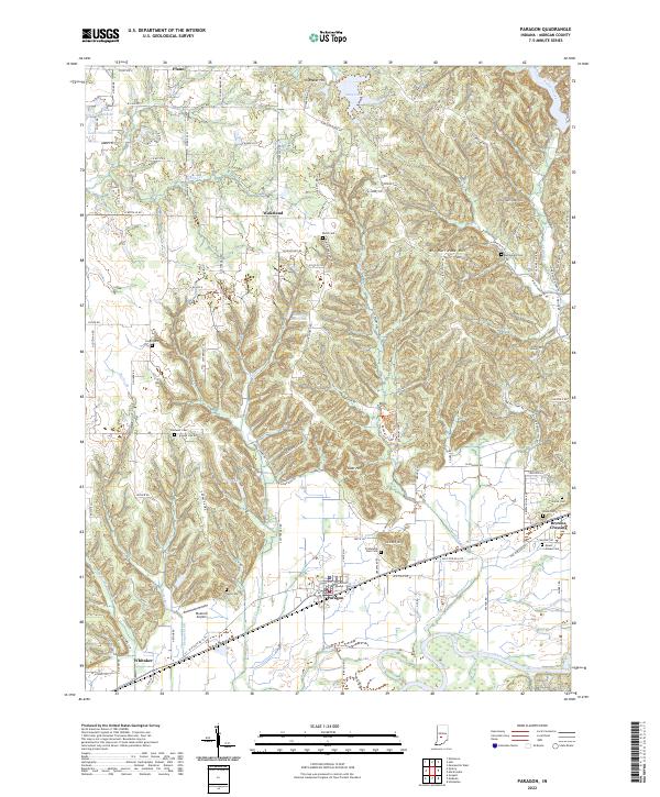 2022 Paragon2022 Print · USGSThe rural landscape of Morgan County is centered here around the town of Paragon and the White River valley in the early 2020s. Genealogists and local historians can trace numerous community landmarks, including Bethlehem Cem, Whitaker, and the high ground of Big Hurricane Hill.
 - 2022 Map of Eminence, 2022 Print
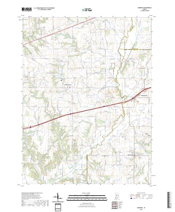 2022 Eminence2022 Print · USGSThe rural landscapes of Putnam and Morgan counties come into focus here in the early 2020s. Researchers can trace local genealogy through sites like Belle Union Branch Cem and explore the rural layout of Eminence and Belle Union.
 - 2022 Map of Quincy, 2022 Print
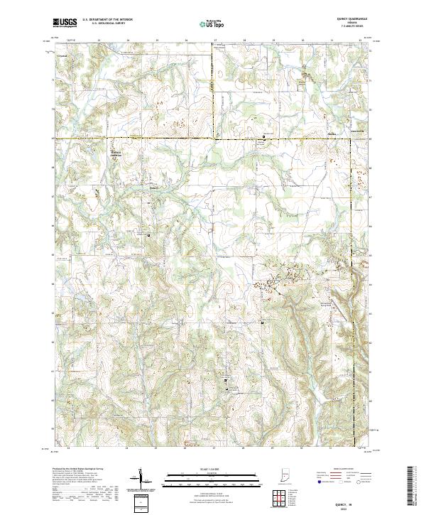 2022 Quincy2022 Print · USGSOwen County's rural landscape is captured here in the early twenty-first century, centered on the historic rail meeting point at Wallace Junction. Researchers can find numerous local landmarks like Mannan Cem, Quincy, and Shenandoah Flying Field.
 - 2022 Map of Mooresville East, 2022 Print
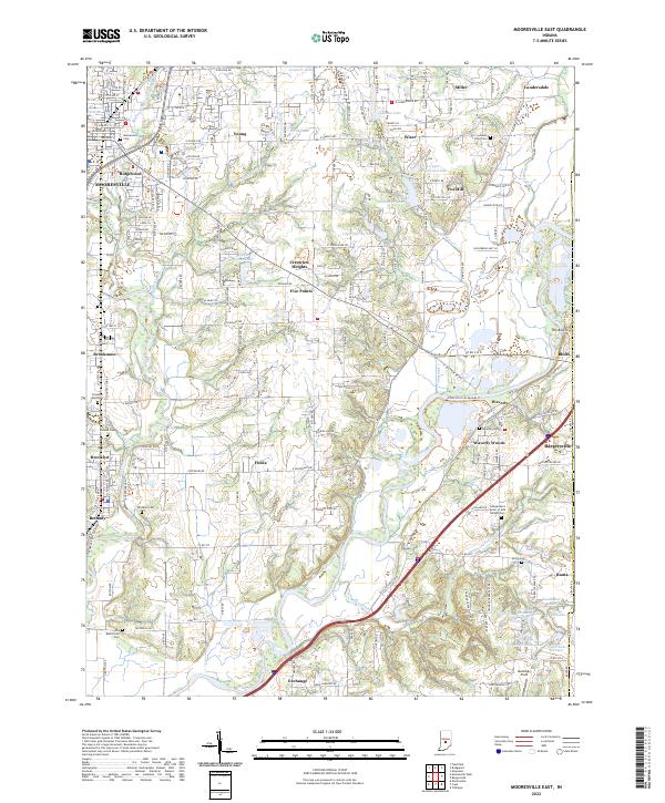 2022 Mooresville East2022 Print · USGSMorgan County in the early twenty-first century is a landscape shaped by the White River and its many tributaries. Genealogists and local historians can trace family roots through numerous sites like Whetzel Cem, Brooklyn Cem, and the Old Butterfield Cem.
 - 2022 Map of Plainfield, 2022 Print
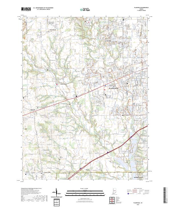 2022 Plainfield2022 Print · USGSGreater Plainfield and Avon are shown in detail during the early 2020s as suburban growth blends with historic rural townships. Researchers can trace numerous pioneer burial sites and small communities like Cartersburg, Belleville, and the Indiana Boys School.
 - 2022 Map of Gosport, 2022 Print
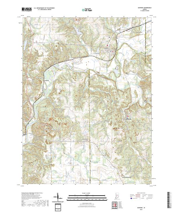 2022 Gosport2022 Print · USGSThe Owen and Monroe County line comes alive in the early 2020s, centered on the river-and-rail corridor of Gosport and Romona. Genealogists and hikers can trace the Indiana Rail Road or locate the Wolf Natural Bridges and Van Buskirk Cem.
 - 2022 Map of Hindustan, 2022 Print
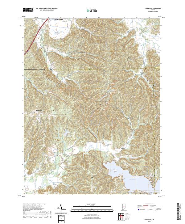 2022 Hindustan2022 Print · USGSThe Morgan and Monroe county lines meet in this heavily forested section of southern Indiana. Genealogists and hikers can trace old family-named terrain like Deadman Hollow and Tincher Ridge, or explore the shores of Lake Lemon near Hindustan.
 - 2022 Map of Beanblossom, 2022 Print
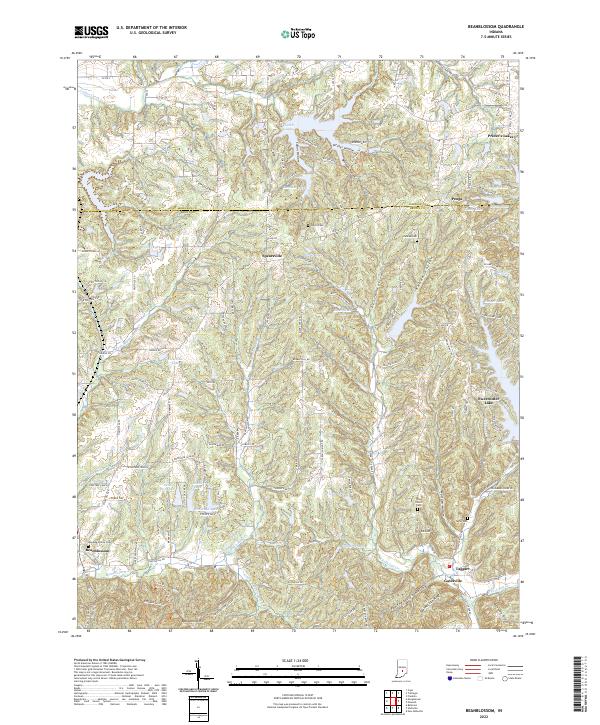 2022 Beanblossom2022 Print · USGSBrown County hills and hollows are documented here during the early twenty-first century. Genealogists and local historians can trace family sites at Calvin Cem and Zion Church or explore settlements like Peoga and Beanblossom.
 - 2022 Map of Bridgeport, 2022 Print
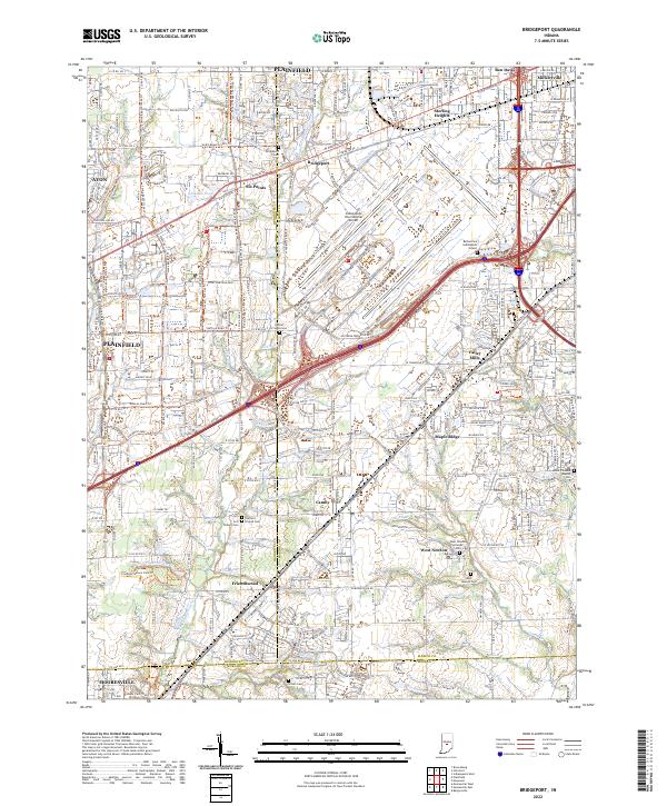 2022 Bridgeport2022 Print · USGSThe southwestern edge of the Indianapolis metro area is shown here in the early 2020s, where airport infrastructure meets older town centers. Researchers can trace historic cemeteries and small communities like West Newton and Camby alongside the Vandalia Rail-Trl.
 - 2022 Map of Cope, 2022 Print
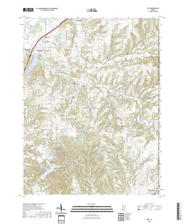 2022 Cope2022 Print · USGSMorgan County in the early 2020s shows a landscape defined by the winding White River and a network of small family cemeteries. Genealogists can trace local heritage at East Hill Cem and Brian Cem while exploring the development of Morgantown and Painted Hills.
 - 2022 Map of Bargersville, 2022 Print
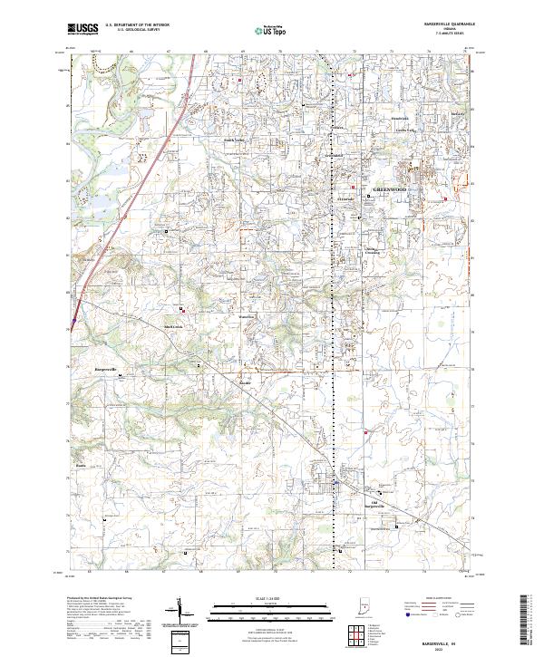 2022 Bargersville2022 Print · USGSBargersville and the western edge of Greenwood are shown here in the early 2020s as residential expansion reaches into traditional farmland. Local historians can trace family roots through numerous pioneer burial grounds like Salem Cem and Utterback Cem or locate the site of Old Bargersville.
 - 2022 Map of Mooresville West, 2022 Print
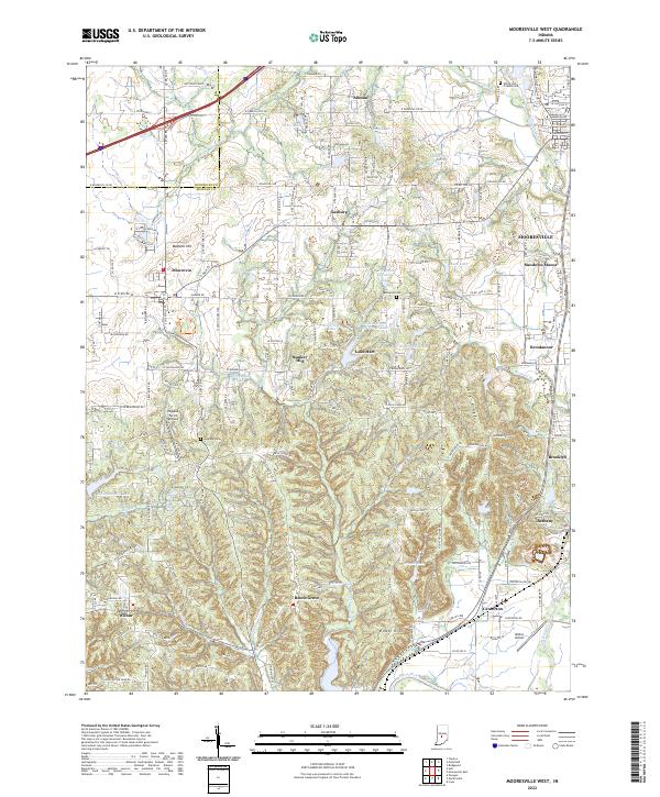 2022 Mooresville West2022 Print · USGSMorgan County west of Mooresville is captured here as a landscape of small settlements and river valleys. Genealogists and local historians can locate family landmarks such as White Lick Friends Cem, Highland Cem, and the community of Centerton.
 - 2022 Map of Martinsville, 2022 Print
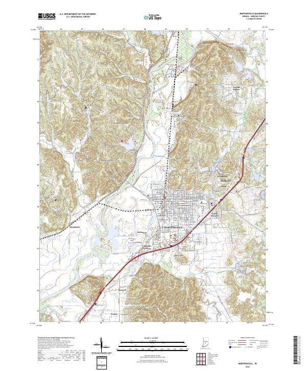 2022 Martinsville2022 Print · USGSMartinsville and the White River valley are captured here in the early 2020s, showing a landscape of growing residential enclaves and deep-rooted river bottoms. Researchers can pinpoint historic family plots at Foster Cem or Nutter Cem and trace the original paths of Old State Rd 37 N.
 - 2022 Map of Maywood, 2022 Print
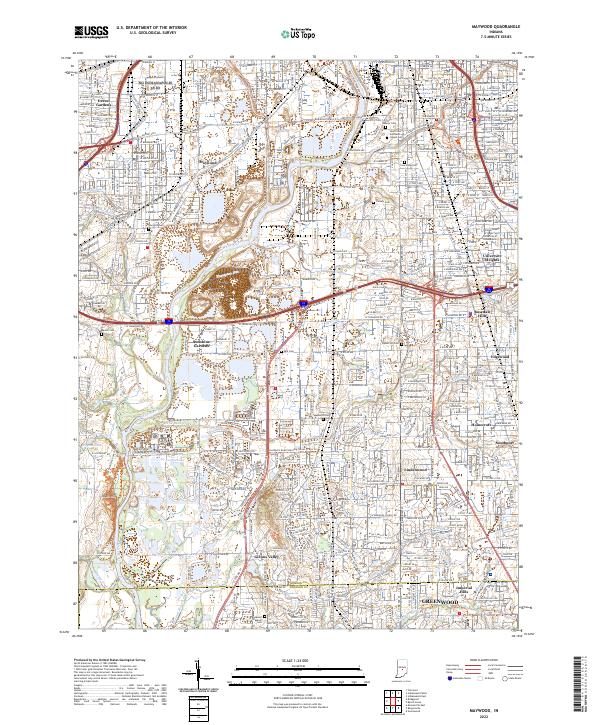 2022 Maywood2022 Print · USGSSouth of Indianapolis in the early 2020s, the river and rail corridors weave through long-established neighborhoods and expansive cemeteries. Genealogists and local historians can trace the grounds of Calvary Cemetery or locate the historic campus of the University of Indianapolis.
End of results
Showing maps 1-18 of 18
Top cities of Morgan County
- Martinsville historical maps
- Mooresville historical maps
- Brooklyn historical maps
- Adams historical maps
- Morgantown historical maps
- Paragon historical maps
See more
Frequently asked questions
- What are the different types of historical maps available for Morgan County?
- What is the oldest map of Morgan County?
- Where can I purchase historical maps of Morgan County for my home or office?
- Where can I download high-res historical maps of Morgan County?
- Are there historical topographic maps available for Morgan County?
- Is there historical aerial imagery available for Morgan County?
- Where are historical maps of Morgan County sourced from?