2000s (21st Century) Maps of Morgan County, Indiana
Explore 90 historic maps of Morgan County from the 2000s (21st Century). These maps offer a rare glimpse into what life looked like during the 2000s — showing old roads, neighborhoods, homes, and landmarks that have changed or disappeared over time.
Whether you're researching your family's past, planning a metal detecting trip, or studying how Morgan County's landscape evolved across the 2000s, these high-resolution maps are a powerful tool for exploring the history of this region.
- Focus on a specific era: All maps on this page are from the 2000s, giving you a focused view of this time period.
- See what’s changed: Compare century-old streets, trails, and buildings to today's modern landscape using overlays and satellite layers.
- Research with precision: Use these maps for genealogy, historical research, land use analysis, or educational projects.
- View, download, or print: Maps are fully viewable online in high resolution, and can be downloaded or printed for your own records.
Start exploring Morgan County's history through authentic maps from the 2000s. This is your window into the past.
Morgan County, IN maps
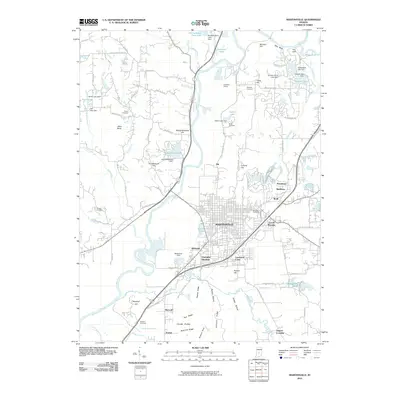
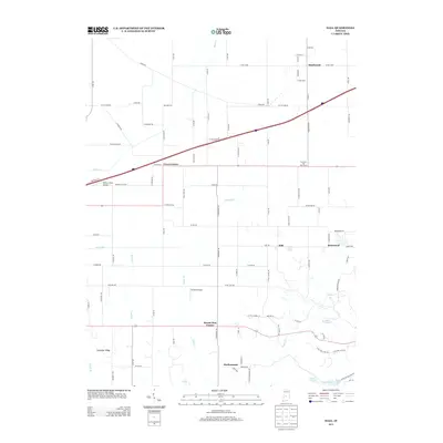
(90)- 2010 Map of Quincy, 2010 Print
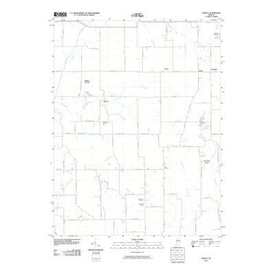 2010 Quincy2010 Print · USGSCovers Morgan County, including Lewisville, Wallace Junction, and other nearby areas
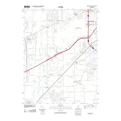
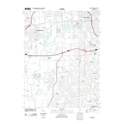
 - 2010 Map of Mooresville West, 2010 Print
 2010 Mooresville West2010 Print · USGSCovers Morgan County, including Mooresville, Brooklyn, and other nearby areas
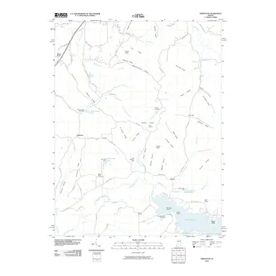
 - 2010 Map of Eminence, 2010 Print
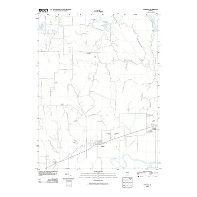
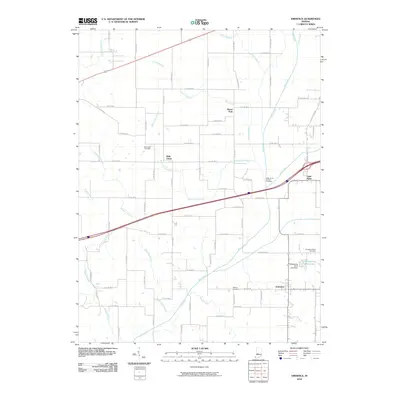 2010 Eminence2010 Print · USGSCovers Morgan County, including Broad Park, Little Point, and other nearby areas
 - 2010 Map of Trafalgar, 2010 Print
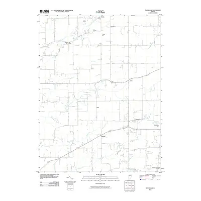 2010 Trafalgar2010 Print · USGSCovers Morgan County, including Trafalgar, Bud, and other nearby areas
 - 2010 Map of Cope, 2010 Print
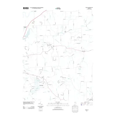
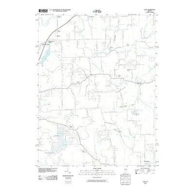 2010 Cope2010 Print · USGSCovers Morgan County, including Adams, Morgantown, and other nearby areas
 - 2010 Map of Gosport, 2010 Print
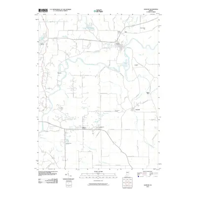 2010 Gosport2010 Print · USGSCovers Morgan County, including Ellettsville, Spencer, and other nearby areas
 - 2010 Map of Plainfield, 2010 Print
 2010 Plainfield2010 Print · USGSCovers Morgan County, including Plainfield, Avon, and other nearby areas
 - 2010 Map of Beanblossom, 2010 Print
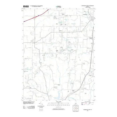
 2010 Beanblossom2010 Print · USGSCovers Morgan County, including Taggart, Peoga, and other nearby areas
 - 2010 Map of Martinsville, 2010 Print
 2010 Martinsville2010 Print · USGSCovers Morgan County, including Martinsville, Hyndsdale, and other nearby areas
 - 2010 Map of Bridgeport, 2010 Print
 2010 Bridgeport2010 Print · USGSCovers Morgan County, including Indianapolis, Plainfield, and other nearby areas
 - 2010 Map of Modesto, 2010 Print
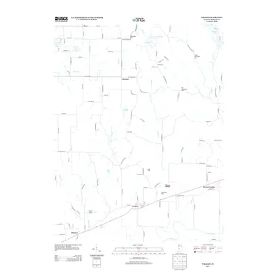
 2010 Modesto2010 Print · USGSCovers Morgan County, including Wayport, Modesto, and other nearby areas
 - 2010 Map of Hindustan, 2010 Print
 2010 Hindustan2010 Print · USGSCovers Morgan County, including Fleener, Turkey Track, and other nearby areas
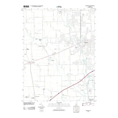
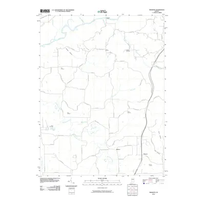
 - 2010 Map of Paragon, 2010 Print
 2010 Paragon2010 Print · USGSCovers Morgan County, including Paragon, Wakeland, and other nearby areas
 - 2010 Map of Morgantown, 2010 Print
 2010 Morgantown2010 Print · USGSCovers Morgan County, including Morgantown, Fruitdale, and other nearby areas
 - 2010 Map of Hall, 2010 Print
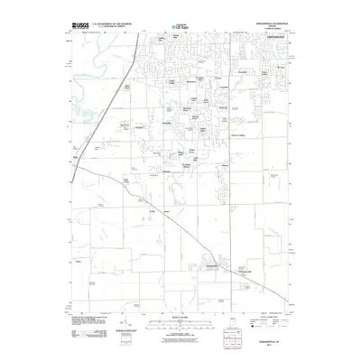
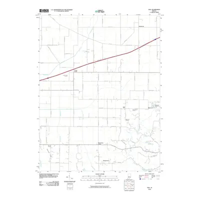 2010 Hall2010 Print · USGSCovers Morgan County, including Crown Center, Briarwood, and other nearby areas
 - 2010 Map of Mooresville East, 2010 Print
 2010 Mooresville East2010 Print · USGSCovers Morgan County, including Mooresville, Bargersville, and other nearby areas
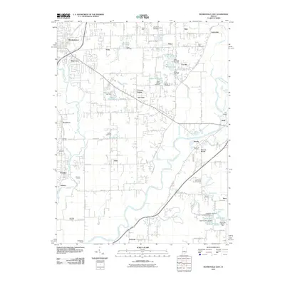
 - 2011 Map of Maywood, 2011 Print
 2011 Maywood2011 Print · USGSCovers Morgan County, including Indianapolis, Greenwood, and other nearby areas
 - 2011 Map of Bargersville, 2011 Print
 2011 Bargersville2011 Print · USGSCovers Morgan County, including Greenwood, Bargersville, and other nearby areas
 - 2013 Map of Gosport, 2013 Print
 2013 Gosport2013 Print · USGSCovers Morgan County, including Ellettsville, Spencer, and other nearby areas
 - 2013 Map of Modesto, 2013 Print
 2013 Modesto2013 Print · USGSCovers Morgan County, including Wayport, Modesto, and other nearby areas
 - 2013 Map of Hall, 2013 Print
 2013 Hall2013 Print · USGSCovers Morgan County, including Crown Center, Briarwood, and other nearby areas
 - 2013 Map of Cope, 2013 Print
 2013 Cope2013 Print · USGSCovers Morgan County, including Adams, Morgantown, and other nearby areas
 - 2013 Map of Paragon, 2013 Print
 2013 Paragon2013 Print · USGSCovers Morgan County, including Paragon, Wakeland, and other nearby areas
 - 2013 Map of Eminence, 2013 Print
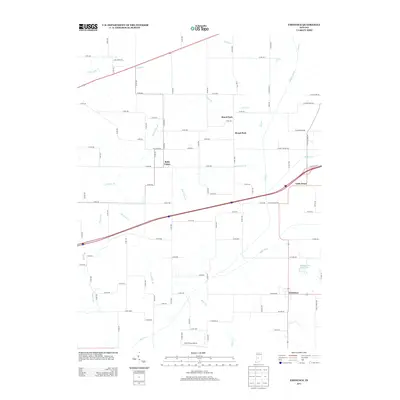 2013 Eminence2013 Print · USGSCovers Morgan County, including Broad Park, Little Point, and other nearby areas
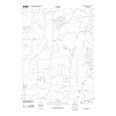
 - 2013 Map of Hindustan, 2013 Print
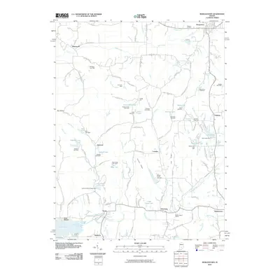
 2013 Hindustan2013 Print · USGSCovers Morgan County, including Fleener, Turkey Track, and other nearby areas
Showing maps 1-25 of 90
Top cities of Morgan County
- Martinsville historical maps
- Mooresville historical maps
- Brooklyn historical maps
- Adams historical maps
- Morgantown historical maps
- Paragon historical maps
See more
Frequently asked questions
- What are the different types of historical maps available for Morgan County?
- What is the oldest map of Morgan County?
- Where can I purchase historical maps of Morgan County for my home or office?
- Where can I download high-res historical maps of Morgan County?
- Are there historical topographic maps available for Morgan County?
- Is there historical aerial imagery available for Morgan County?
- Where are historical maps of Morgan County sourced from?