2010s Maps of Perry County, Indiana
Explore 60 historic maps of Perry County from the 2010s. These maps offer a rare glimpse into what life looked like during the 2010s — showing old roads, neighborhoods, homes, and landmarks that have changed or disappeared over time.
Whether you're researching your family's past, planning a metal detecting trip, or studying how Perry County's landscape evolved across the 2010s, these high-resolution maps are a powerful tool for exploring the history of this region.
- Focus on a specific era: All maps on this page are from the 2010s, giving you a focused view of this time period.
- See what’s changed: Compare century-old streets, trails, and buildings to today's modern landscape using overlays and satellite layers.
- Research with precision: Use these maps for genealogy, historical research, land use analysis, or educational projects.
- View, download, or print: Maps are fully viewable online in high resolution, and can be downloaded or printed for your own records.
Start exploring Perry County's history through authentic maps from the 2010s. This is your window into the past.
Perry County, IN maps
(60)- 2010 Map of Fulda, 2010 Print
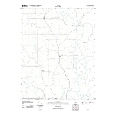 2010 Fulda2010 Print · USGSSouthern Indiana's rural landscape at the opening of the millennium is marked by the winding Anderson River and a network of tight-knit farming communities. Genealogists can trace family heritage through numerous burial sites including Huffman Cemetery, Rust Cemetery, and McDaniel Cemetery.
 - 2010 Map of Saint Meinrad, 2010 Print
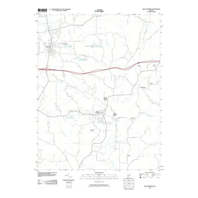 2010 Saint Meinrad2010 Print · USGSSouthern Indiana's religious and rural landscape is documented here in the early twenty-first century. Researchers can trace local history through sites like the Monte Cassino Shrine, Taylor Cemetery, and the banks of the Anderson River.
 - 2010 Map of Tell City, 2010 Print
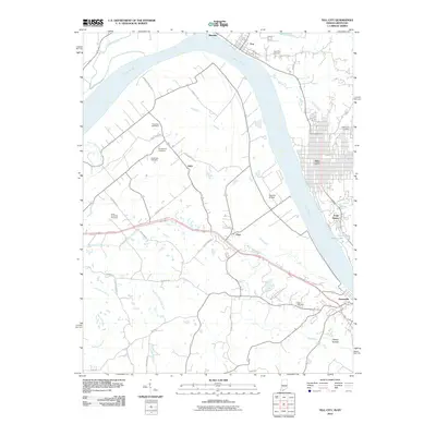 2010 Tell City2010 Print · USGSThe Indiana-Kentucky borderlands along the Ohio River are captured here in the early twenty-first century. Genealogists can locate numerous burial sites like Saint Pius Cemetery and Waltz Cemetery, or trace the rural routes of Petri and Maxville.
 - 2010 Map of Mattingly, 2010 Print
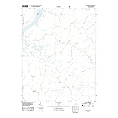 2010 Mattingly2010 Print · USGSBreckinridge County, Kentucky, maintains its deep rural roots in the early twenty-first century as life centers on the Ohio River and interior creek valleys. Genealogists can trace family names through numerous local burial grounds like Chapin Cemetery and Taul Cemetery, or locate old landmarks like Iron Ore Hill.
 - 2010 Map of Bristow, 2010 Print
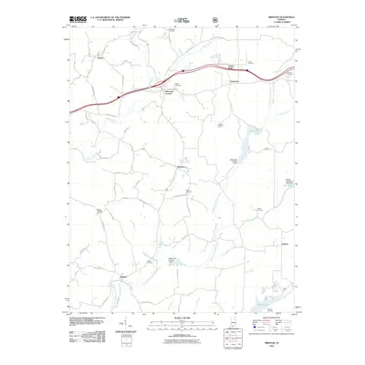 2010 Bristow2010 Print · USGSSouthern Indiana's Perry County is seen here in the early twenty-first century, showing a landscape of deep-set creek branches and ridge-top settlements. Genealogists can trace family landmarks like Lasher Cemetery, Fosters Ridge, and the rural crossroads of Kitterman Corners.
 - 2010 Map of Gatchel, 2010 Print
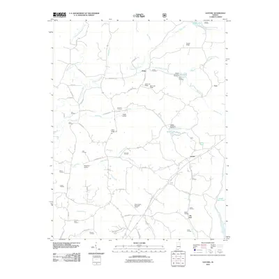 2010 Gatchel2010 Print · USGSPerry County's rural character is well-preserved in this modern survey, showing the settlements of Gatchel and Lilly Dale alongside the Perry County Municipal Airport. Genealogists will find a wealth of burial sites to explore, from Richards Cemetery to Saint Johns Cemetery.
 - 2010 Map of Beechwood, 2010 Print
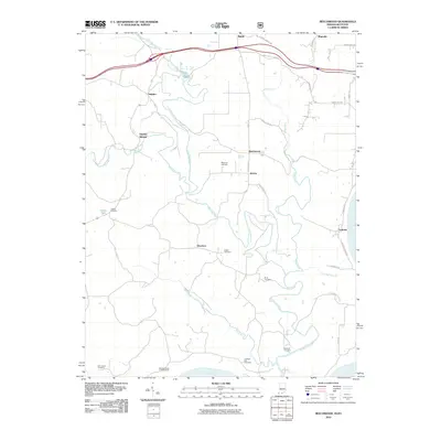 2010 Beechwood2010 Print · USGSCrawford County and the winding Little Blue River are captured here in the early twenty-first century. Genealogists and local historians can trace family locations through numerous sites like Wiseman Cemetery, Sulphur Springs, and Deuchars.
 - 2010 Map of Taswell, 2010 Print
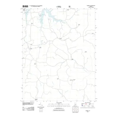 2010 Taswell2010 Print · USGSCrawford County at the start of the decade shows a terrain of deep valleys and forested ridges shaped by the Little Patoka River. Genealogists and historians can locate numerous rural burial sites like Mount Eden Cemetery and traces of old centers like Doolittle Mills.
 - 2010 Map of Branchville, 2010 Print
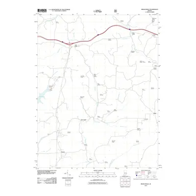 2010 Branchville2010 Print · USGSSouthern Indiana ridge country comes alive in this study of Perry County’s interior during the early 2000s. Genealogists can trace dozens of family burial sites including Guillaume and Luxenburger alongside the West Fork Lookout Tower.
 - 2010 Map of Birdseye, 2010 Print
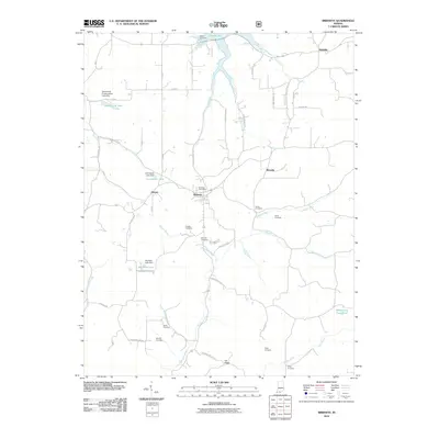 2010 Birdseye2010 Print · USGSSettled among the ridges of Dubois County in the early twenty-first century, this area features the town of Birdseye and the winding Anderson River. Genealogists can trace family landmarks through Garland Cemetery, Waddle Cemetery, and the Birdseye Post Office.
 - 2010 Map of Derby, 2010 Print
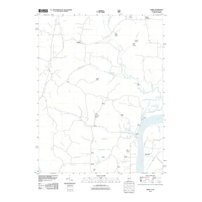 2010 Derby2010 Print · USGSThe rural uplands and riverbanks of Perry County are documented here in the early twenty-first century. Researchers can locate numerous family burial sites such as Horton Cemetery and Badger Cemetery or trace the drainage of Oil Creek to the Ohio River.
 - 2010 Map of Alton, 2010 Print
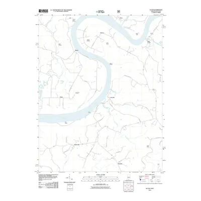 2010 Alton2010 Print · USGSThe Ohio River dominates the border between Indiana and Kentucky in the early 2000s, carving deep bends past small river towns. Researchers can trace family sites at Stephenson Cemetery and Barr Cemetery or locate old landings like Peters Landing.
 - 2011 Map of Cannelton, 2011 Print
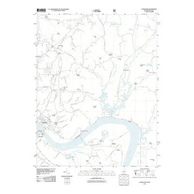 2011 Cannelton2011 Print · USGSCrossing the river between Indiana and Kentucky in the early twenty-first century, this survey shows the industrial and rural life of the valley. Genealogists and historians can trace the Ohio River shoreline to find Cannelton, Saint Michaels Cemetery, and the Skillman rail corridor.
 - 2011 Map of Rome, 2011 Print
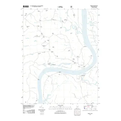 2011 Rome2011 Print · USGSThe Ohio River meanders through the border of Indiana and Kentucky in the early 21st century, framing the river towns of Rome and Stephensport. Researchers can trace ancestral roots through numerous family burial sites like Brashear Cemetery and Shoemaker Cemetery.
 - 2011 Map of Cloverport, 2011 Print
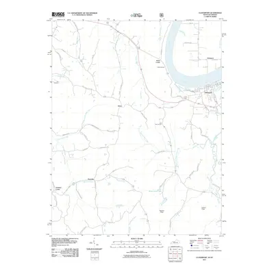 2011 Cloverport2011 Print · USGSThe Ohio River valley at Cloverport and Tobinsport is captured here in the early twenty-first century. Genealogists can trace family connections through the Rice Cemetery, Saint Rose Cemetery, and rural crossroads like Arrington Corner and Patesville.
 - 2013 Map of Mattingly, 2013 Print
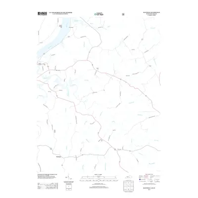 2013 Mattingly2013 Print · USGSBreckinridge County south of the Ohio River is shown in detail during the early 2010s, revealing a landscape of family farms and creek-side settlements. Local historians can trace family roots through numerous burial sites like Hawkins Cem and Pate Cem or locate the old landing at Carter Landing.
 - 2013 Map of Cloverport, 2013 Print
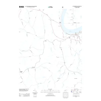 2013 Cloverport2013 Print · USGSThe Ohio River valley at Cloverport comes into focus during the early twenty-first century, highlighting the enduring riverfront town and its Indiana neighbor. Genealogists and local historians can locate Saint Rose Cemetery, the small settlement of Patesville, and family landmarks along Mullens Ridge.
 - 2013 Map of Bristow, 2013 Print
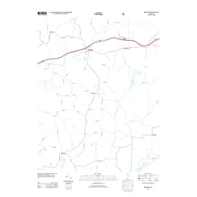 2013 Bristow2013 Print · USGSPerry County's rural heartland is documented here during the early twenty-first century, showing the enduring layout of its small crossroads and river valleys. Researchers can trace family locations near Bristow, Sassafras, and the shores of Indian Lake.
 - 2013 Map of Derby, 2013 Print
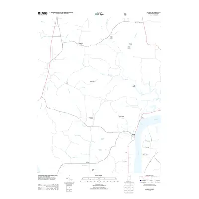 2013 Derby2013 Print · USGSThe Indiana-Kentucky borderlands along the Ohio River come to life in this survey from the early 2010s. Local historians can trace family-named landmarks and rural infrastructure across Mogan Ridge, through the streets of Leopold, and down to Chenault School Rd.
 - 2013 Map of Gatchel, 2013 Print
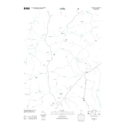 2013 Gatchel2013 Print · USGSGatchel and the Perry County hills are shown in detail during the early twenty-first century, featuring a landscape of ridge-top settlements and winding creek valleys. Genealogists and hikers can trace local landmarks like Lilly Dale, Saint Joe Ridge, and the waters of Saddle Lake.
 - 2013 Map of Fulda, 2013 Print
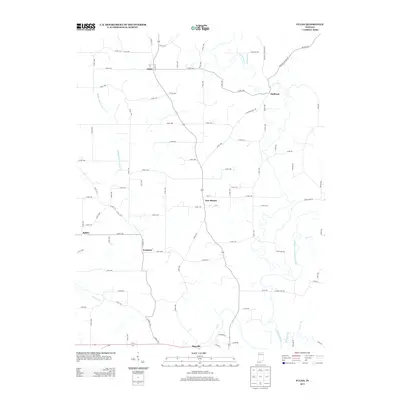 2013 Fulda2013 Print · USGSSouthern Indiana's rural crossroads and river valleys are captured here in the early twenty-first century. Genealogists and local historians can trace the small communities of Fulda, Evanston, and Huffman along the banks of the Anderson River.
 - 2013 Map of Branchville, 2013 Print
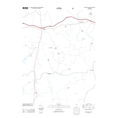 2013 Branchville2013 Print · USGSPerry County's rural uplands are shown in detail during the early 2010s, centered on the historic crossroads of Saint Croix and Branchville. Genealogists and hikers can trace the terrain of German Ridge, find the West Fork Lookout Tower, or locate the site of Celina.
 - 2013 Map of Birdseye, 2013 Print
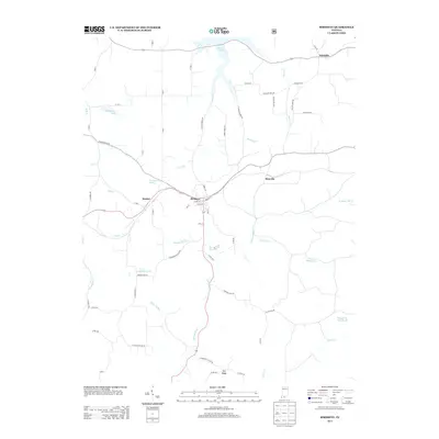 2013 Birdseye2013 Print · USGSSouthern Indiana's rural landscape is captured here in the early twenty-first century, centered on the community of Birdseye and the Anderson River. Genealogists and local historians can trace family-named roads and landmarks like Phillips Bank Rd, Limp School Rd, and Wickliffe.
 - 2013 Map of Taswell, 2013 Print
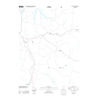 2013 Taswell2013 Print · USGSCrawford County, Indiana, is captured here in the early twenty-first century, showing a landscape defined by deep valleys and forest recreation. Trace the paths of the Little Patoka River and Middle Fork Anderson River to find places like Taswell, Mifflin, and Doolittle Mills.
 - 2013 Map of Saint Meinrad, 2013 Print
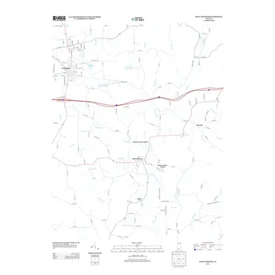 2013 Saint Meinrad2013 Print · USGSSouthern Indiana's monastic landscape is captured here in the early twenty-first century, centered on the historic communities of Ferdinand and Saint Meinrad. Genealogists and historians can locate the Monte Cassino Shrine, Saint Josephs Shrine, and the winding Anderson River.
Showing maps 1-25 of 60
Top cities of Perry County
Frequently asked questions
- What are the different types of historical maps available for Perry County?
- What is the oldest map of Perry County?
- Where can I purchase historical maps of Perry County for my home or office?
- Where can I download high-res historical maps of Perry County?
- Are there historical topographic maps available for Perry County?
- Is there historical aerial imagery available for Perry County?
- Where are historical maps of Perry County sourced from?