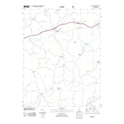
2010 Map of Bristow
USGS Topo · Published 2010About this map
Bristow and Sassafras anchor this section of Perry County, where the dendritic drainage of the Middle Fork Anderson River and its tributaries like Coon Branch and Winding Branch define the topography. The rural landscape is marked by a network of local roads such as Beard Cemetery Rd and Adyeville Rd, connecting small settlements like Kitterman Corners and Apalona.
Find a feature on this map
69 named features on this map. Tap any name to fly to it.
Don’t see what you’re looking for? This feature index may not catch every label — zoom into the map to look around manually.
Map Details
Editions of this 2010 Bristow Map
This is the sole edition of this map. No revisions or reprints were ever made.
Other maps of this area

1900 · St Meinrad
USGS Topo · 1:62,500

1903 · St. Meinrad
USGS Topo · 1:62,500

1954 · Derby
USGS Topo · 1:24,000

1955 · Saint Anthony
USGS Topo · 1:24,000

1956 · Taswell
USGS Topo · 1:24,000

1956 · Vincennes
USGS Topo · 1:250,000

1957 · Vincennes
USGS Topo · 1:250,000

1957 · Birdseye
USGS Topo · 1:24,000
1957 · Bristow
USGS Topo · 1:24,000

1958 · Vincennes
USGS Topo · 1:250,000