Old Maps of Posey County, Indiana
Explore 60 old maps of Posey County, spanning from 1901 to today. These high-resolution historic maps reveal how streets, neighborhoods, landmarks, and natural features evolved over time — perfect for genealogy, metal detecting, research, and local history exploration.
What you can do with these maps:
- See how Posey County changed over time: Compare historical maps to modern-day views to trace roads, homesites, rail lines & more.
- View detailed metadata: Each map includes creators, publishers, year, scale, and archive source.
- Overlay maps with satellite & LiDAR: Visualize the past alongside modern tools to explore terrain & human change.
- Trusted historical sources: Maps sourced from the USGS, Library of Congress, and other archives.
- Access maps your way: View online, download high-res files, or order prints for personal or research use.
Start exploring old maps of Posey County to uncover forgotten places, hidden landmarks, and the deep history beneath your feet.
Posey County, IN maps
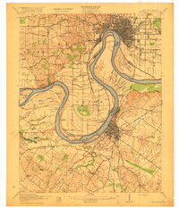
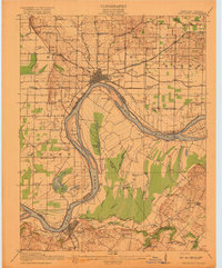
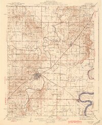
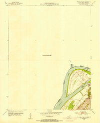
(60)- 1901 Map of Haubstadt, 1955 Print
 1901 Haubstadt1955 Print · USGSCovers Posey County, including Evansville, Armstrong, and other nearby areas
 - 1903 Map of Haubstadt
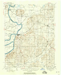
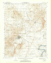
 1903 Haubstadt1903 Print · USGSCovers Posey County, including Evansville, Armstrong, and other nearby areas3 unique versions available
 - 1903 Map of New Harmony
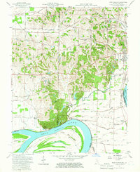
 1903 New Harmony1903 Print · USGSCovers Posey County, including Grayville, Poseyville, and other nearby areas3 unique versions available
 - 1903 Map of Patoka
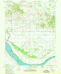
 1903 Patoka1903 Print · USGSCovers Posey County, including Evansville, Princeton, and other nearby areas2 unique versions available
 - 1905 Map of New Haven, 1966 Print
 1905 New Haven1966 Print · USGSCovers Posey County, including Ridgway, Emma, and other nearby areas
 - 1906 Map of New Haven
 1906 New Haven1906 Print · USGSCovers Posey County, including Ridgway, Emma, and other nearby areas4 unique versions available
 - 1914 Map of Henderson
 1914 Henderson1914 Print · USGSCovers Posey County, including Evansville, Henderson, and other nearby areas
 - 1916 Map of Henderson
 1916 Henderson1916 Print · USGSCovers Posey County, including Evansville, Henderson, and other nearby areas3 unique versions available
 - 1917 Map of Uniontown
 1917 Uniontown1917 Print · USGSCovers Posey County, including Mount Vernon, Uniontown, and other nearby areas6 unique versions available
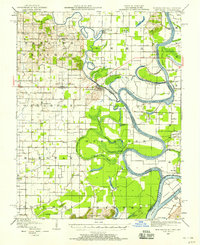
 - 1938 Map of New Harmony, 1958 Print
 1938 New Harmony1958 Print · USGSCovers Posey County, including Grayville, Poseyville, and other nearby areas
 - 1940 Map of Carmi, 1965 Print
 1940 Carmi1965 Print · USGSCovers Posey County, including Carmi, Grayville, and other nearby areas
 - 1943 Map of Carmi
 1943 Carmi1943 Print · USGSCovers Posey County, including Carmi, Grayville, and other nearby areas2 unique versions available
 - 1949 Map of Paducah
 1949 Paducah1949 Print · USGSCovers Posey County, including Cape Girardeau, Paducah, and other nearby areas2 unique versions available
 - 1949 Map of New Haven, 1958 Print
 1949 New Haven1958 Print · USGSCovers Posey County, including Ridgway, Emma, and other nearby areas
 - 1950 Map of Paducah
 1950 Paducah1950 Print · USGSCovers Posey County, including Cape Girardeau, Paducah, and other nearby areas
 - 1952 Map of Mount Vernon, 1953 Print
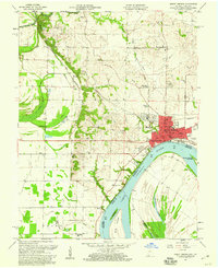
 1952 Mount Vernon1953 Print · USGSCovers Posey County, including Mount Vernon, Prairie, and other nearby areas2 unique versions available
 - 1952 Map of Uniontown, 1954 Print
 1952 Uniontown1954 Print · USGSCovers Posey County, including Uniontown, Union County, and other nearby areas2 unique versions available
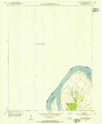
 - 1953 Map of Wabash Island
 1953 Wabash Island1953 Print · USGSCovers Posey County, including Oak Grove, Union County, and other nearby areas2 unique versions available
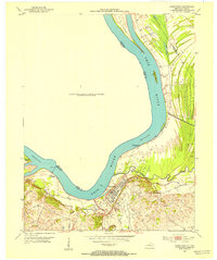
 - 1954 Map of Evansville
 1954 Evansville1954 Print · USGSCovers Posey County, including Evansville, Owensboro, and other nearby areas
 - 1954 Map of Paducah
 1954 Paducah1954 Print · USGSCovers Posey County, including Cape Girardeau, Paducah, and other nearby areas2 unique versions available
 - 1956 Map of Vincennes, 1967 Print
 1956 Vincennes1967 Print · USGSCovers Posey County, including Evansville, Vincennes, and other nearby areas4 unique versions available
 - 1957 Map of Vincennes
 1957 Vincennes1957 Print · USGSCovers Posey County, including Evansville, Vincennes, and other nearby areas
 - 1957 Map of West Franklin, 1959 Print
 1957 West Franklin1959 Print · USGSCovers Posey County, including Evansville, Belknap, and other nearby areas2 unique versions available
 - 1957 Map of Caborn, 1959 Print
 1957 Caborn1959 Print · USGSCovers Posey County, including Mount Vernon, Bufkin, and other nearby areas2 unique versions available
 - 1957 Map of Mount Vernon, 1960 Print
 1957 Mount Vernon1960 Print · USGSCovers Posey County, including Mount Vernon, Prairie, and other nearby areas2 unique versions available
Showing maps 1-25 of 60
Top cities of Posey County
- Mount Vernon historical maps
- Poseyville historical maps
- New Harmony historical maps
- Cynthiana historical maps
- Griffin historical maps
Frequently asked questions
- What are the different types of historical maps available for Posey County?
- What is the oldest map of Posey County?
- Where can I purchase historical maps of Posey County for my home or office?
- Where can I download high-res historical maps of Posey County?
- Are there historical topographic maps available for Posey County?
- Is there historical aerial imagery available for Posey County?
- Where are historical maps of Posey County sourced from?