2000s (21st Century) Maps of Chrisney, Indiana
Explore 10 historic maps of Chrisney from the 2000s (21st Century). These maps offer a rare glimpse into what life looked like during the 2000s — showing old roads, neighborhoods, homes, and landmarks that have changed or disappeared over time.
Whether you're researching your family's past, planning a metal detecting trip, or studying how Chrisney's landscape evolved across the 2000s, these high-resolution maps are a powerful tool for exploring the history of this region.
- Focus on a specific era: All maps on this page are from the 2000s, giving you a focused view of this time period.
- See what’s changed: Compare century-old streets, trails, and buildings to today's modern landscape using overlays and satellite layers.
- Research with precision: Use these maps for genealogy, historical research, land use analysis, or educational projects.
- View, download, or print: Maps are fully viewable online in high resolution, and can be downloaded or printed for your own records.
Start exploring Chrisney's history through authentic maps from the 2000s. This is your window into the past.
Chrisney, IN maps
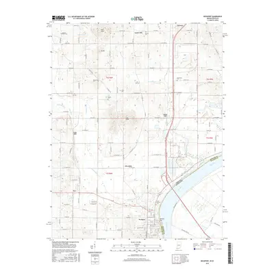
(10)- 2010 Map of Rockport, 2010 Print
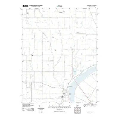 2010 Rockport2010 Print · USGSCovers Chrisney, including Rockport, Ritchie, and other nearby areas
 - 2010 Map of Chrisney, 2010 Print
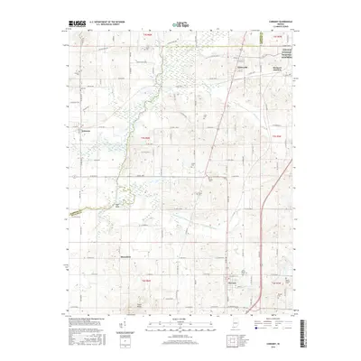
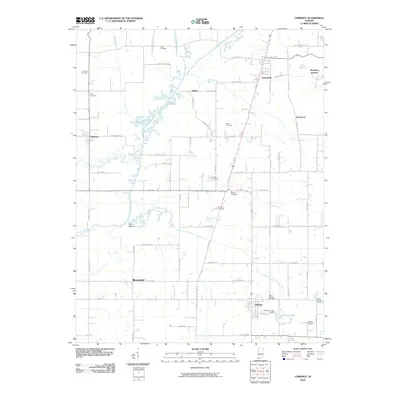 2010 Chrisney2010 Print · USGSCovers Chrisney, including Tennyson, Gentryville, and other nearby areas
 - 2013 Map of Chrisney, 2013 Print
 2013 Chrisney2013 Print · USGSCovers Chrisney, including Tennyson, Gentryville, and other nearby areas
 - 2013 Map of Rockport, 2013 Print
 2013 Rockport2013 Print · USGSCovers Chrisney, including Rockport, Ritchie, and other nearby areas
 - 2016 Map of Rockport, 2016 Print
 2016 Rockport2016 Print · USGSCovers Chrisney, including Rockport, Ritchie, and other nearby areas
 - 2016 Map of Chrisney, 2016 Print
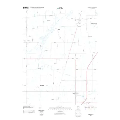
 2016 Chrisney2016 Print · USGSCovers Chrisney, including Tennyson, Gentryville, and other nearby areas
 - 2019 Map of Rockport, 2019 Print
 2019 Rockport2019 Print · USGSCovers Chrisney, including Rockport, Ritchie, and other nearby areas
 - 2019 Map of Chrisney, 2019 Print
 2019 Chrisney2019 Print · USGSCovers Chrisney, including Tennyson, Gentryville, and other nearby areas
 - 2022 Map of Rockport, 2022 Print
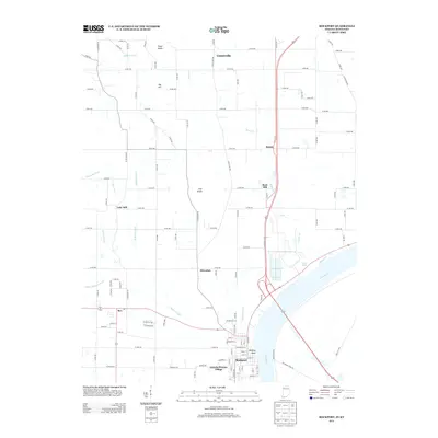
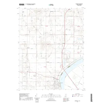
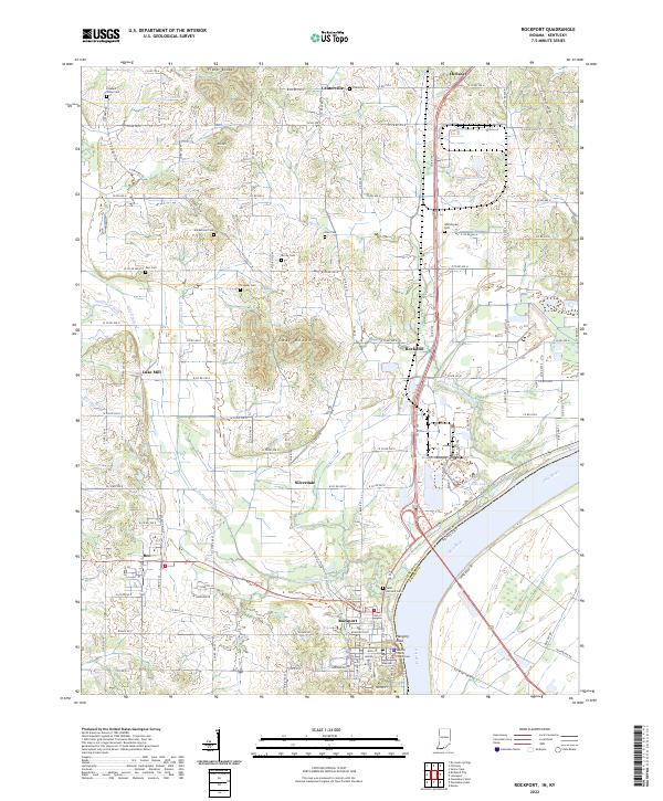 2022 Rockport2022 Print · USGSThe Ohio River waterfront at Rockport is captured here in the early 2020s, showcasing the county seat alongside its neighboring river-bottom farmlands. Researchers can trace local heritage through sites like the Spencer County Courthouse and numerous pioneer-era burial grounds including Hackleman Cem and Stateler Cem.
 - 2022 Map of Chrisney, 2022 Print
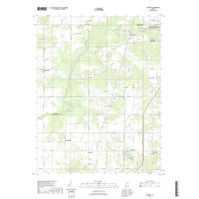
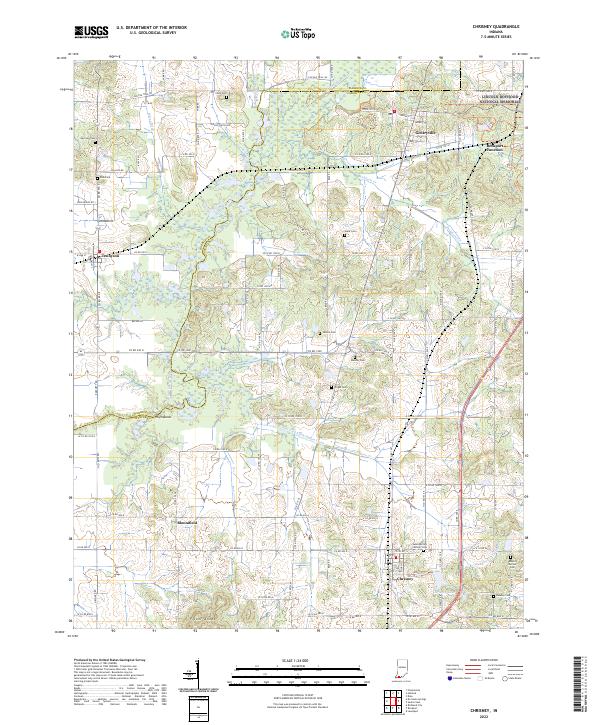 2022 Chrisney2022 Print · USGSIn the rural heart of Spencer County, this modern survey documents the landscape surrounding the Lincoln Boyhood National Memorial. Family historians can trace local roots at Saint Martins Catholic Cemetery, Stark Cemetery, and Fisher Knobs.
End of results
Showing maps 1-10 of 10
Top cities near Chrisney
- Owensboro historical maps
- Boonville historical maps
- Ferdinand historical maps
- Rockport historical maps
- Lewisport historical maps
- Dale historical maps
See more
Frequently asked questions
- What are the different types of historical maps available for Chrisney?
- What is the oldest map of Chrisney?
- Where can I purchase historical maps of Chrisney for my home or office?
- Where can I download high-res historical maps of Chrisney?
- Are there historical topographic maps available for Chrisney?
- Is there historical aerial imagery available for Chrisney?
- Where are historical maps of Chrisney sourced from?