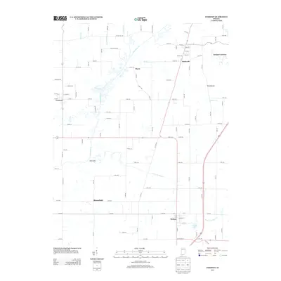
2013 Map of Chrisney
USGS Topo · Published 2013About this map
Chrisney and Gentryville anchor this survey of Spencer County’s agricultural and drainage landscape in the early 21st century. The map illustrates a complex network of waterways, including the winding Little Pigeon Cr and its tributaries like Buckhorn Cr and Pokeberry Cr, alongside engineered features such as Wires Ditch and Hutchinson Ditch. These waterways define the rural character between settlements like Tennyson and Bloomfield. To the north, the historic path of Lincoln Trail Rd passes near the community of Pigeon, while the southeastern corner is dominated by the recreational waters of Chrisney Lake. The terrain transitions at High Banks above the river fork, providing a clear view of the natural and man-made systems that manage the low-lying areas of southern Indiana.
Find a feature on this map
99 named features on this map. Tap any name to fly to it.
Don’t see what you’re looking for? This feature index may not catch every label — zoom into the map to look around manually.
Map Details
Editions of this 2013 Chrisney Map
This is the sole edition of this map. No revisions or reprints were ever made.
Other maps of this area

1900 · St Meinrad
USGS Topo · 1:62,500

1900 · De Gonia Springs
USGS Topo · 1:62,500

1901 · Owensboro
USGS Topo · 1:62,500

1902 · Ditney
USGS Topo · 1:125,000

1902 · Degonia Springs
USGS Topo · 1:62,500

1903 · St. Meinrad
USGS Topo · 1:62,500

1903 · Tell City
USGS Topo · 1:62,500

1952 · Rockport
USGS Topo · 1:24,000

1953 · Lewisport
USGS Topo · 1:24,000

1954 · Evansville
USGS Topo · 1:250,000