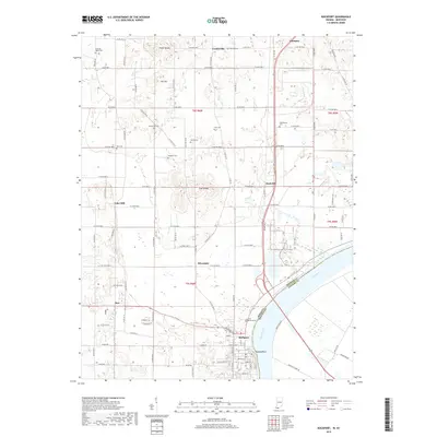
2019 Map of Rockport
USGS Topo · Published 2019About this map
Rockport sits at a prominent bend in the Ohio River, serving as a focal point where the modern infrastructure of Spencer Co meets the waterway. The terrain is defined by distinct elevations such as Hanging Rock along the riverbank and the inland rises of Fisher Knobs, Nix Hill, and Coal Knobs. This 2019 survey shows a landscape where small settlements like Silverdale, Rock Hill, and Reo are interconnected by a dense grid of county roads.
Find a feature on this map
70 named features on this map. Tap any name to fly to it.
Don’t see what you’re looking for? This feature index may not catch every label — zoom into the map to look around manually.
Map Details
Editions of this 2019 Rockport Map
This is the sole edition of this map. No revisions or reprints were ever made.
Other maps of this area

1900 · St Meinrad
USGS Topo · 1:62,500

1900 · De Gonia Springs
USGS Topo · 1:62,500

1901 · Owensboro
USGS Topo · 1:62,500

1902 · Ditney
USGS Topo · 1:125,000

1902 · Degonia Springs
USGS Topo · 1:62,500

1903 · St. Meinrad
USGS Topo · 1:62,500

1903 · Tell City
USGS Topo · 1:62,500

1952 · Owensboro East
USGS Topo · 1:24,000

1952 · Rockport
USGS Topo · 1:24,000

1952 · Owensboro West
USGS Topo · 1:24,000