Old Maps of Lafayette, Indiana for Genealogy
Trace your family roots with 33 historic maps of Lafayette. These high-res maps reveal old neighborhoods, homesites, landmarks, and streets — helping you uncover where your ancestors lived and how the area evolved over time.
- Explore historic neighborhoods: Identify where your relatives may have lived in the 1800s or 1900s.
- Compare maps over time: Trace the changes in streets, buildings, and landmarks for multi-generational research.
- Perfect for genealogy & ancestry research: Used by family historians and researchers to map out lineage and migration.
These maps are an incredible resource for exploring your personal connection to Lafayette's past.
Lafayette, IN maps
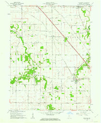
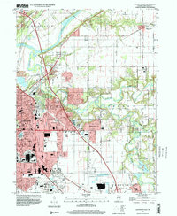
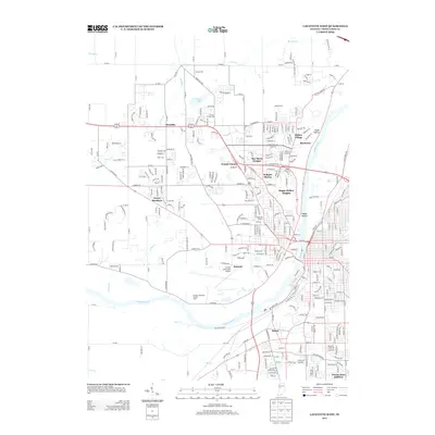
(33)- 1941 Map of Lafayette
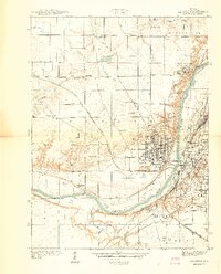 1941 Lafayette1941 Print · USGSLafayette and West Lafayette sit at a crossroads of river and rail during the early days of the Second World War. Researchers can trace the development of Purdue University, the grounds of the St Joseph Orphanage, and family plots in Sand Ridge Cem or Grandview Cem.
 - 1942 Map of Lafayette
 1942 Lafayette1942 Print · USGSMid-century Lafayette and the Purdue campus come alive in this survey from the early 1940s. Genealogists and historians can trace the foundations of the Purdue University Golf Course, find the St. Joseph Orphanage, and locate family plots at St. Mary's Cem.
 - 1950 Map of Lafayette, 1952 Print
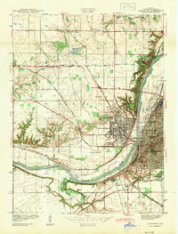
 1950 Lafayette1952 Print · USGSLafayette and the Purdue University campus thrive during the mid-century as major educational and transit hubs along the Wabash River. Researchers can locate family landmarks like the Ouiatenon Blockhouse, Sharon Chapel, and the Wabash Sanitarium among the city's growing street grid.2 unique versions available
 - 1953 Map of Danville, 1965 Print
 1953 Danville1965 Print · USGSIndiana and Illinois crossroads come to life in this mid-century survey as the interstate era begins to reshape the river-and-rail landscape. Genealogists and collectors can trace the historic paths of the Nickel Plate railroad or locate smaller communities like Veedersburg, Goodland, and Bismarck.3 unique versions available
 - 1955 Map of Danville
 1955 Danville1955 Print · USGSThe Indiana-Illinois borderlands during the mid-fifties reveal a landscape of thriving rail hubs and university towns. Researchers can trace the legacy of Purdue University, the Tippecanoe Battlefield, and the path of the Pennsylvania RR.
 - 1956 Map of Danville
 1956 Danville1956 Print · USGSMid-century Indiana and Illinois are captured here as the river-and-rail economy evolved into the modern highway era. Researchers can trace ancestral roots and old transport lines through Logansport, Battle Ground, and the dams at Lake Shafer.
 - 1961 Map of Romney, 1962 Print
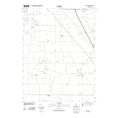
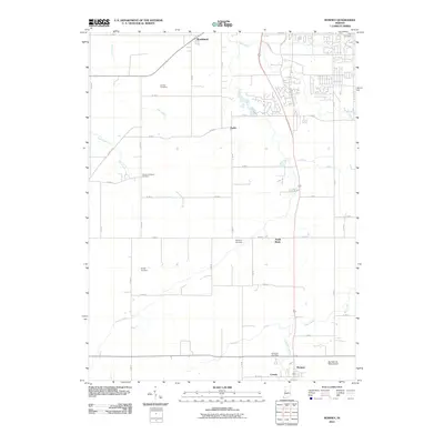
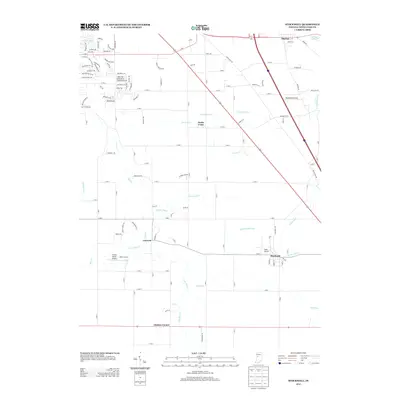
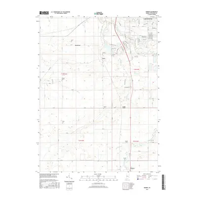
 1961 Romney1962 Print · USGSTippecanoe County farmland is captured here in the early sixties, showing the vital link between rural crossroads and the rail line. Genealogists can locate family landmarks like Elmwood Cem, Stidham Ch, and the settlement of South Raub along the Monon railroad.2 unique versions available
 - 1961 Map of Stockwell, 1962 Print
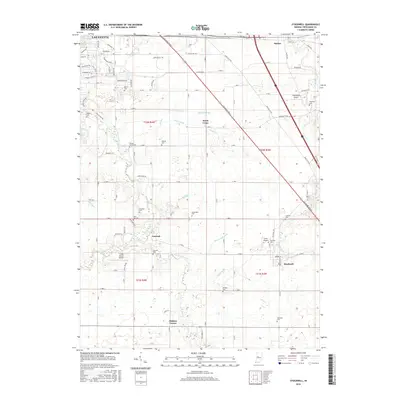
 1961 Stockwell1962 Print · USGSTippecanoe County agriculture and rail transit intersect in the early sixties, showing the small-town life of Stockwell and Dayton. Genealogists can trace early family sites through landmarks like Township High Sch, St Joe Cem, and Gladens Corner.2 unique versions available
 - 1961 Map of Lafayette East, 1962 Print
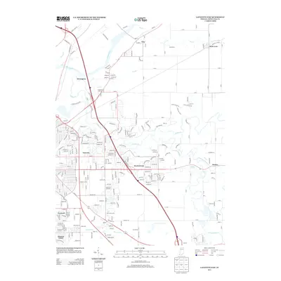
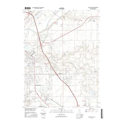
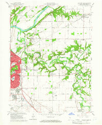 1961 Lafayette East1962 Print · USGSLafayette's eastern edge and the Wabash River valley are captured here just as mid-century suburban expansion reached into the surrounding townships. Genealogists and local researchers can trace long-standing landmarks like St Boniface Cemetery, Cary Camp, and the rail junction at Altamont Switch.5 unique versions available
 - 1961 Map of Lafayette West, 1964 Print
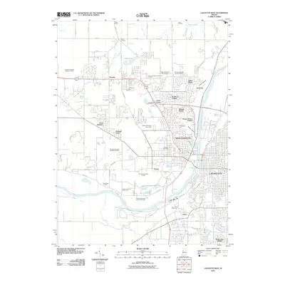
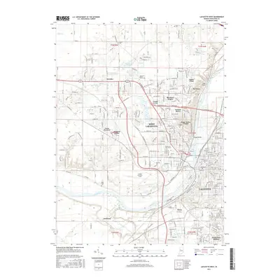
 1961 Lafayette West1964 Print · USGSGreater Lafayette was evolving rapidly in the early sixties as university expansion and new residential additions transformed the river valley. Researchers can trace historic institutional sites like the Soldiers Home, the Ouiatenon Blockhouse, and the sprawling grounds of Purdue University.6 unique versions available
 - 1984 Map of Lafayette, 1985 Print
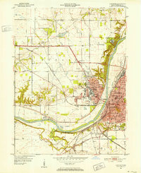
 1984 Lafayette1985 Print · USGSNorth-central Indiana thrives in the 1980s as a hub of higher education, industry, and agriculture centered on the Wabash River. Genealogists and historians can locate family sites near Darrough Chapel, Oak Hill Cem, or the small crossroads of Thorntown and Colfax.2 unique versions available
 - 1998 Map of Lafayette West, 2001 Print
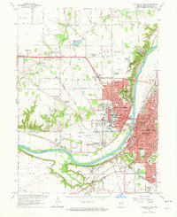
 1998 Lafayette West2001 Print · USGSThe West Lafayette and Lafayette area is captured here at the end of the century, centered on the extensive Purdue University campus and riverfront. Researchers can trace historic local sites like St Marys Cem, the Indiana Veterans Home, and the old Norfolk and Western rail lines.
 - 1998 Map of Lafayette East, 2001 Print
 1998 Lafayette East2001 Print · USGSLafayette was rapidly expanding eastward toward the end of the century, merging modern suburban developments with historic river valley terrain. Genealogists and local historians can trace legacy sites like Springvale Cemetery, Bethany Ch, and several rural schools.
 - 2010 Map of Stockwell, 2010 Print
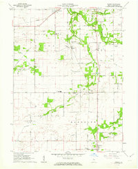
 2010 Stockwell2010 Print · USGSCovers Lafayette, including Dayton, Concord, and other nearby areas
 - 2010 Map of Lafayette West, 2010 Print
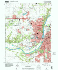
 2010 Lafayette West2010 Print · USGSCovers Lafayette, including West Lafayette, Shadeland, and other nearby areas
 - 2010 Map of Lafayette East, 2010 Print
 2010 Lafayette East2010 Print · USGSCovers Lafayette, including Battle Ground, Dayton, and other nearby areas
 - 2010 Map of Romney, 2010 Print
 2010 Romney2010 Print · USGSCovers Lafayette, including Shadeland, South Raub, and other nearby areas
 - 2013 Map of Lafayette West, 2013 Print
 2013 Lafayette West2013 Print · USGSCovers Lafayette, including West Lafayette, Shadeland, and other nearby areas
 - 2013 Map of Lafayette East, 2013 Print
 2013 Lafayette East2013 Print · USGSCovers Lafayette, including Battle Ground, Dayton, and other nearby areas
 - 2013 Map of Romney, 2013 Print
 2013 Romney2013 Print · USGSCovers Lafayette, including Shadeland, South Raub, and other nearby areas
 - 2013 Map of Stockwell, 2013 Print
 2013 Stockwell2013 Print · USGSCovers Lafayette, including Dayton, Concord, and other nearby areas
 - 2016 Map of Lafayette East, 2016 Print
 2016 Lafayette East2016 Print · USGSCovers Lafayette, including Battle Ground, Dayton, and other nearby areas
 - 2016 Map of Romney, 2016 Print
 2016 Romney2016 Print · USGSCovers Lafayette, including Shadeland, South Raub, and other nearby areas
 - 2016 Map of Stockwell, 2016 Print
 2016 Stockwell2016 Print · USGSCovers Lafayette, including Dayton, Concord, and other nearby areas
 - 2016 Map of Lafayette West, 2016 Print
 2016 Lafayette West2016 Print · USGSCovers Lafayette, including West Lafayette, Shadeland, and other nearby areas
Showing maps 1-25 of 33
Top cities near Lafayette
- West Lafayette historical maps
- Delphi historical maps
- Shadeland historical maps
- Brookston historical maps
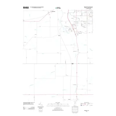
- Mulberry historical maps
- Battle Ground historical maps
See more
Top neighborhoods of Lafayette
- Norma Jean Addition historical maps
- Elston historical maps
- Altamont Switch historical maps
- Eastwich historical maps
- Tecumseh historical maps
- Edgelea historical maps
See more
Frequently asked questions
- What are the different types of historical maps available for Lafayette?
- What is the oldest map of Lafayette?
- Where can I purchase historical maps of Lafayette for my home or office?
- Where can I download high-res historical maps of Lafayette?
- Are there historical topographic maps available for Lafayette?
- Is there historical aerial imagery available for Lafayette?
- Where are historical maps of Lafayette sourced from?