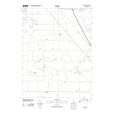
2010 Map of Stockwell
USGS Topo · Published 2010About this map
Stockwell and the surrounding agricultural lands of Tippecanoe County are defined by an intricate network of drainage ditches and family-named cemeteries. This landscape, as recorded in 2010, shows the deep-rooted presence of early settlers through numerous burial grounds such as the Kenny Cemetery, Wyandot Cemetery, and O'Neill Cemetery. The hydrology of the region is highly managed, with Elliot Ditch, Ilgenfritz Ditch, and Kenny Ditch supporting the productive farmlands between the East Branch Wea Creek and Lauramie Creek. Small settlements like Concord, North Crane, and Gladens Corner serve as local hubs along a grid of section roads, while the Timber House Airport represents a modern navigational landmark in this rural setting. The proximity of Dayton in the northeast corner highlights the transition from concentrated village life to the expansive open fields that characterize this portion of Indiana.
Find a feature on this map
51 named features on this map. Tap any name to fly to it.
Don’t see what you’re looking for? This feature index may not catch every label — zoom into the map to look around manually.
Map Details
Editions of this 2010 Stockwell Map
This is the sole edition of this map. No revisions or reprints were ever made.
Other maps of this area

1941 · Lafayette
USGS Topo · 1:24,000

1942 · Lafayette
USGS Topo · 1:24,000

1950 · Lafayette
USGS Topo · 1:24,000

1953 · Danville
USGS Topo · 1:250,000

1955 · Danville
USGS Topo · 1:250,000

1956 · Danville
USGS Topo · 1:250,000

1958 · Linden
USGS Topo · 1:24,000

1958 · Kirkpatrick
USGS Topo · 1:24,000

1961 · Mulberry
USGS Topo · 1:24,000

1961 · Pyrmont
USGS Topo · 1:24,000