Old Maps of Montmorenci, Indiana for Genealogy
Trace your family roots with 13 historic maps of Montmorenci. These high-res maps reveal old neighborhoods, homesites, landmarks, and streets — helping you uncover where your ancestors lived and how the area evolved over time.
- Explore historic neighborhoods: Identify where your relatives may have lived in the 1800s or 1900s.
- Compare maps over time: Trace the changes in streets, buildings, and landmarks for multi-generational research.
- Perfect for genealogy & ancestry research: Used by family historians and researchers to map out lineage and migration.
These maps are an incredible resource for exploring your personal connection to Montmorenci's past.
Montmorenci, IN maps
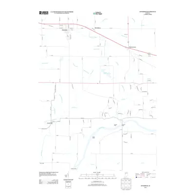
(13)- 1942 Map of Otterbein
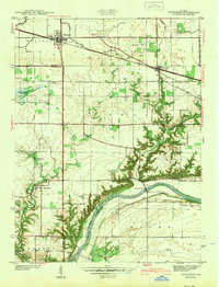 1942 Otterbein1942 Print · USGSIndiana's prairie meets the Wabash River valley at the start of the 1940s, showing a landscape defined by rail lines and early canal history. Genealogists and historians can trace family roots through rural landmarks like Asbury Cem, the Armstrong Chapel, and the community of Green Hill.
 - 1951 Map of Otterbein
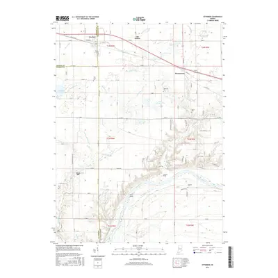
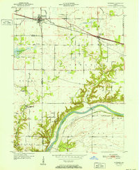 1951 Otterbein1951 Print · USGSTippecanoe and Warren Counties were defined by the convergence of major railroads and river commerce in the early 1950s. Genealogists and historians can trace the Abandoned Canal near the Wabash River or locate family sites like Spencer Cem and Ross Camp.2 unique versions available
 - 1953 Map of Danville, 1965 Print
 1953 Danville1965 Print · USGSIndiana and Illinois crossroads come to life in this mid-century survey as the interstate era begins to reshape the river-and-rail landscape. Genealogists and collectors can trace the historic paths of the Nickel Plate railroad or locate smaller communities like Veedersburg, Goodland, and Bismarck.3 unique versions available
 - 1955 Map of Danville
 1955 Danville1955 Print · USGSThe Indiana-Illinois borderlands during the mid-fifties reveal a landscape of thriving rail hubs and university towns. Researchers can trace the legacy of Purdue University, the Tippecanoe Battlefield, and the path of the Pennsylvania RR.
 - 1956 Map of Danville
 1956 Danville1956 Print · USGSMid-century Indiana and Illinois are captured here as the river-and-rail economy evolved into the modern highway era. Researchers can trace ancestral roots and old transport lines through Logansport, Battle Ground, and the dams at Lake Shafer.
 - 1961 Map of Otterbein, 1963 Print
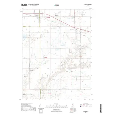
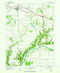 1961 Otterbein1963 Print · USGSThe Wabash River valley and the fertile plains of Western Indiana meet in this early 1960s survey. Genealogists and local historians can trace rural family sites like Pond Grove Cem, Armstrong Chapel, and the riverside settlement of Green Hill.3 unique versions available
 - 1984 Map of Danville, 1985 Print
 1984 Danville1985 Print · USGSEastern Illinois and western Indiana meet here in the mid-1980s, centered on the river forks and rail lines surrounding the industrial hub of Danville. Researchers can trace old transport routes and rural landmarks like Rossville Junction, Hope Ch, and the Univ of Ill Radio Telescope.
 - 1987 Map of Danville, 1994 Print
 1987 Danville1994 Print · USGSThe Illinois-Indiana borderlands thrived in the 1980s as a crossroads of rail commerce and river-fed agriculture. Genealogists and historians can trace the foundations of Danville and Covington while locating landmarks like Spring Hill Cemetery or the Vermilion County Courthouse.
 - 2010 Map of Otterbein, 2010 Print
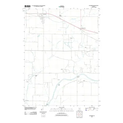 2010 Otterbein2010 Print · USGSCovers Montmorenci, including Otterbein, Green Hill, and other nearby areas
 - 2013 Map of Otterbein, 2013 Print
 2013 Otterbein2013 Print · USGSCovers Montmorenci, including Otterbein, Green Hill, and other nearby areas
 - 2016 Map of Otterbein, 2016 Print
 2016 Otterbein2016 Print · USGSCovers Montmorenci, including Otterbein, Green Hill, and other nearby areas
 - 2019 Map of Otterbein, 2019 Print
 2019 Otterbein2019 Print · USGSCovers Montmorenci, including Otterbein, Green Hill, and other nearby areas
 - 2022 Map of Otterbein, 2022 Print
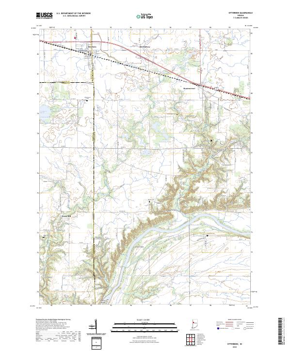 2022 Otterbein2022 Print · USGSThe rural borders of Tippecanoe, Benton, and Warren counties are captured here in the early twenty-first century. Researchers can locate family burial plots at Pond Grove Cem or Granville Cem and trace the drainage of Little Pine Cr to the Wabash River.
End of results
Showing maps 1-13 of 13
Top cities near Montmorenci
- Lafayette historical maps
- West Lafayette historical maps
- Attica historical maps
- Shadeland historical maps
- Brookston historical maps
- Battle Ground historical maps
See more
Frequently asked questions
- What are the different types of historical maps available for Montmorenci?
- What is the oldest map of Montmorenci?
- Where can I purchase historical maps of Montmorenci for my home or office?
- Where can I download high-res historical maps of Montmorenci?
- Are there historical topographic maps available for Montmorenci?
- Is there historical aerial imagery available for Montmorenci?
- Where are historical maps of Montmorenci sourced from?