
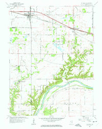
1961 Map of Otterbein
USGS Topo · Published 1963About this map
The Wabash River cuts through the southeastern corner of this landscape, its steep banks defined by a series of deep ravines known locally as The Hills. In the early 1960s, the agricultural character of Tippecanoe, Benton, and Warren counties is evident through an extensive network of drainage projects such as Otterbein Ditch, Mc Farland Ditch, and Gephart-Magee Ditch. The town of Otterbein serves as a central hub, situated along the New York Chicago and St Louis railroad line.
Find a feature on this map
56 named features on this map. Tap any name to fly to it.
Don’t see what you’re looking for? This feature index may not catch every label — zoom into the map to look around manually.
Map Details
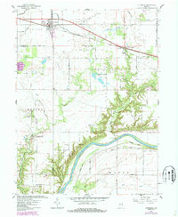
Editions of this 1961 Otterbein Map
3 editions found
Other maps of this area

1941 · Lafayette
USGS Topo · 1:24,000

1942 · Otterbein
USGS Topo · 1:24,000

1942 · Lafayette
USGS Topo · 1:24,000

1950 · Lafayette
USGS Topo · 1:24,000

1951 · Otterbein
USGS Topo · 1:24,000

1953 · Danville
USGS Topo · 1:250,000

1955 · Danville
USGS Topo · 1:250,000

1956 · Danville
USGS Topo · 1:250,000

1961 · Chatterton
USGS Topo · 1:24,000

1961 · Romney
USGS Topo · 1:24,000