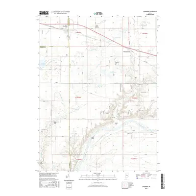
2016 Map of Otterbein
USGS Topo · Published 2016About this map
Otterbein and Montmorenci anchor this rural landscape where the boundaries of Benton, Tippecanoe, and Warren Counties converge. The terrain is defined by an extensive drainage network, with systems like Otterbein Ditch, McKinney Ditch, and Edward Ditch channeling water across the agricultural plains toward the south. The Wabash River meanders through the southern section of the map, passing Goose Island and the landmark Granville Bridge. For local historians, the distribution of small burial grounds such as Pond Grove Cem, Asbury Cem, and Shambaugh Cem provides a clear view of early settlement patterns and family clusters. The presence of the Purdue University Pond and the small settlement of Old Halfway further distinguish this section of the Indiana countryside during the mid-2010s.
Find a feature on this map
72 named features on this map. Tap any name to fly to it.
Don’t see what you’re looking for? This feature index may not catch every label — zoom into the map to look around manually.
Map Details
Editions of this 2016 Otterbein Map
This is the sole edition of this map. No revisions or reprints were ever made.
Other maps of this area

1941 · Lafayette
USGS Topo · 1:24,000

1942 · Otterbein
USGS Topo · 1:24,000

1942 · Lafayette
USGS Topo · 1:24,000

1950 · Lafayette
USGS Topo · 1:24,000

1951 · Otterbein
USGS Topo · 1:24,000

1953 · Danville
USGS Topo · 1:250,000

1955 · Danville
USGS Topo · 1:250,000

1956 · Danville
USGS Topo · 1:250,000

1961 · Chatterton
USGS Topo · 1:24,000

1961 · Romney
USGS Topo · 1:24,000